Coopreed Wood

Wood, Forest in Kent Gravesham

England

Coopreed Wood

White Horse Road, near Vigo Long shadows on White Horse Road, on the North Downs in Kent.  This image was taken in the late afternoon of an October day, when the sun was low in the sky.
White Horse Road, near Vigo Credit: Malc McDonald

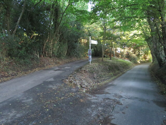
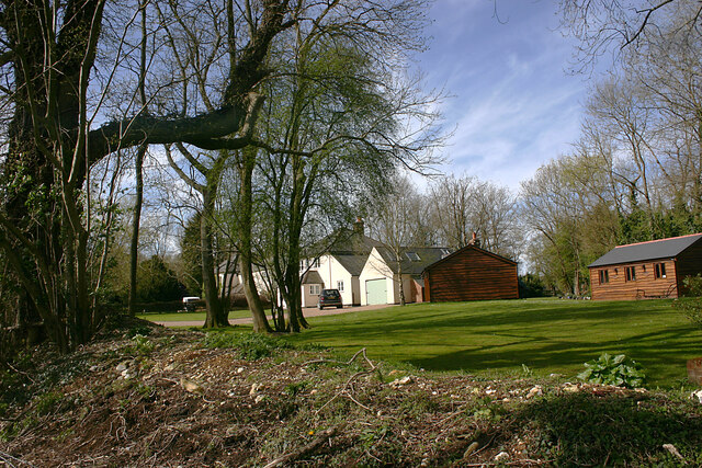
Coopreed Wood, located in the county of Kent, England, is a stunning forest area known for its natural beauty and abundant wildlife. Covering an approximate area of 500 acres, the wood is situated near the village of Coopreed and is easily accessible via a network of well-maintained footpaths.

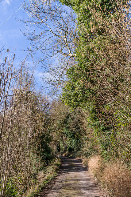
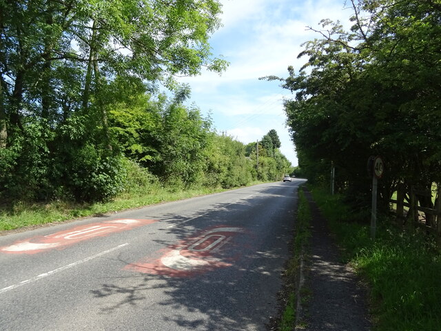
The woodland is primarily composed of broadleaf trees, including oak, beech, ash, and birch, creating a diverse and enchanting landscape. The dense canopy formed by these towering trees provides a cool and shaded environment, perfect for leisurely walks or picnics during the summer months.

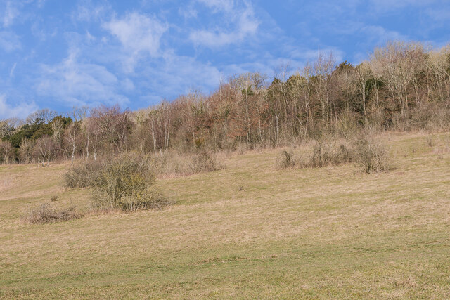
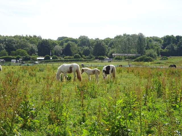
Coopreed Wood is renowned for its rich biodiversity and serves as a haven for numerous species of flora and fauna. Visitors may spot a variety of birds, such as woodpeckers, owls, and warblers, as well as small mammals like squirrels, rabbits, and foxes. Additionally, the wood is home to a range of wildflowers and fungi, adding to its natural charm.

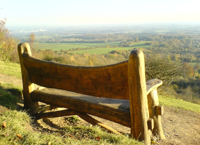
For nature enthusiasts and photographers, Coopreed Wood offers an array of picturesque scenes. From the vibrant colors of autumn to the delicate blossoms of spring, each season brings its own unique beauty to the woodland. The forest floor is carpeted with bluebells in the springtime, creating a breathtaking sight that attracts many visitors.

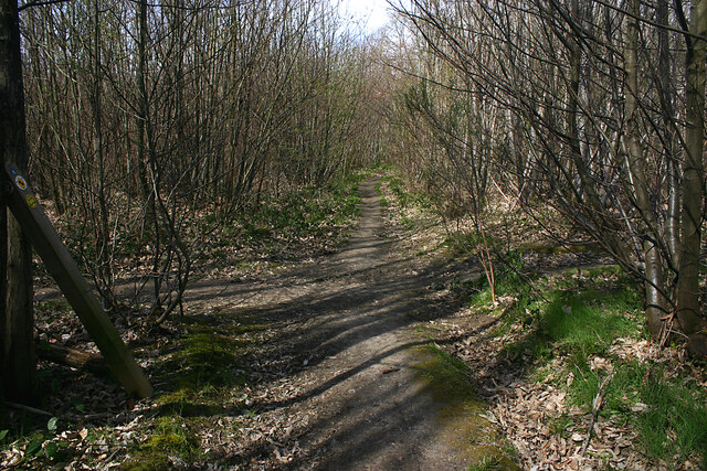
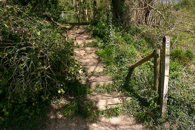
Visitors to Coopreed Wood can explore the forest's trails, which wind through various habitats and offer captivating views of the surrounding countryside. The wood also provides opportunities for outdoor activities such as cycling, birdwatching, and nature photography.

Overall, Coopreed Wood is a captivating and ecologically significant woodland, offering a peaceful retreat for nature lovers and a chance to immerse oneself in the beauty of Kent's countryside.

If you have any feedback on the listing, please let us know in the comments section below.

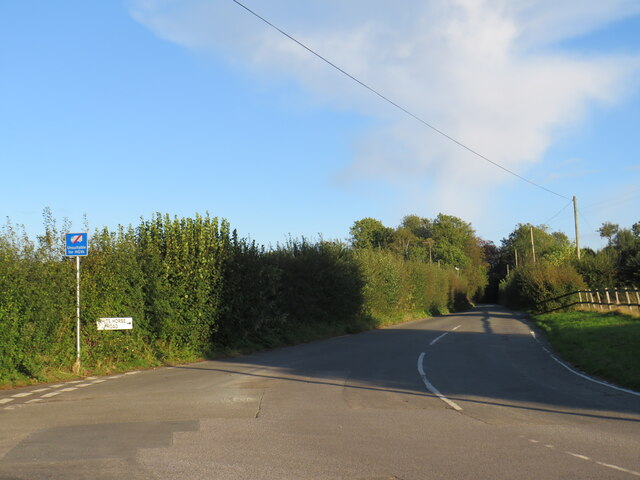
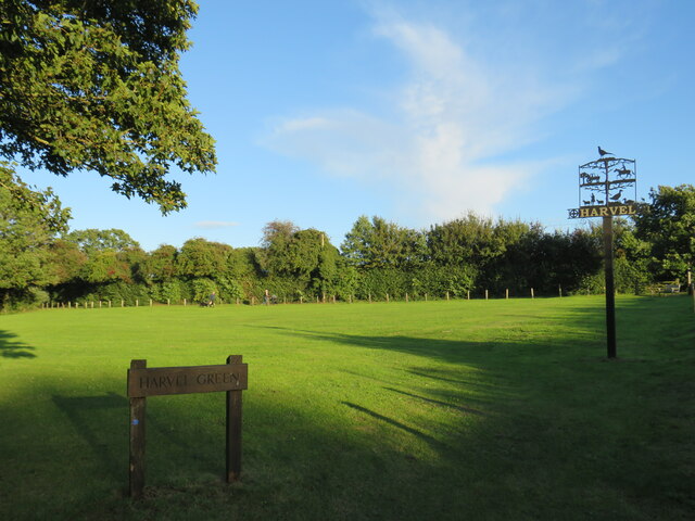
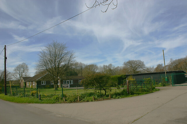
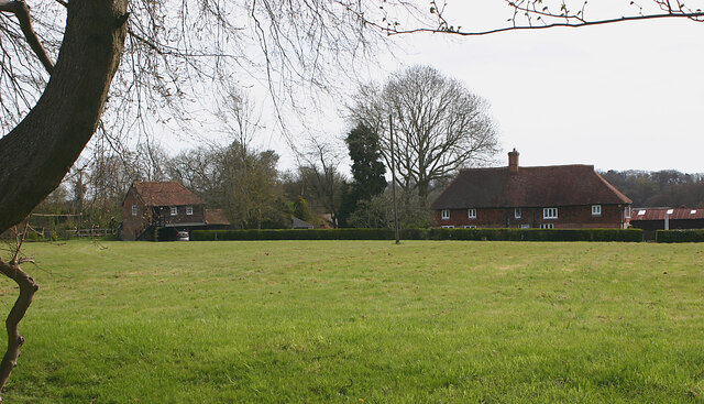
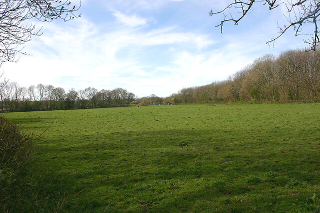
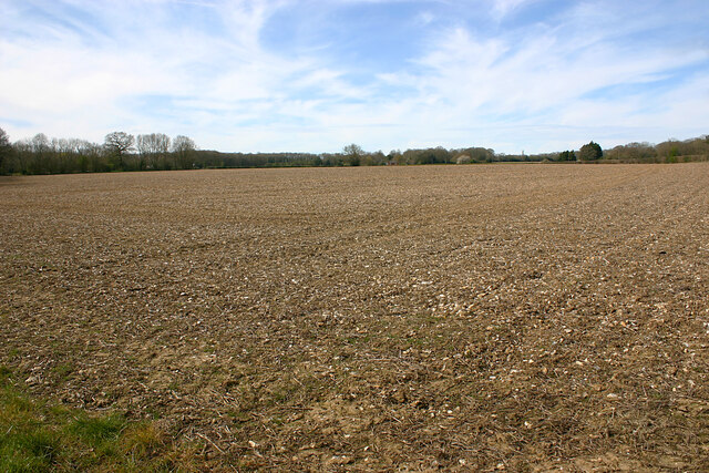
Coopreed Wood Images

Images are sourced within 2km of 51.342243/0.35847472 or Grid Reference TQ6462. Thanks to Geograph Open Source API. All images are credited.

White Horse Road, near Vigo Long shadows on White Horse Road, on the North Downs in Kent.  This image was taken in the late afternoon of an October day, when the sun was low in the sky.
White Horse Road, near Vigo
Long shadows on White Horse Road, on the North Downs in Kent. This image was taken in the late afternoon of an October day, when the sun was low in the sky.
Harvel Green The green in the village of Harvel, in north Kent.  The village sign stands to the right of the image.

This image was taken late in the afternoon on an October day.  The sun was setting, casting long shadows.
Harvel Green
The green in the village of Harvel, in north Kent. The village sign stands to the right of the image. This image was taken late in the afternoon on an October day. The sun was setting, casting long shadows.
David Street, Harvel, near Meopham David Street near the village of Harvel, in Kent.
David Street, Harvel, near Meopham
David Street near the village of Harvel, in Kent.
David Street, Harvel, near Meopham David Street is a minor lane through Kent countryside.
David Street, Harvel, near Meopham
David Street is a minor lane through Kent countryside.
Lanes diverging near Meopham A junction of minor lanes in woodland near Meopham in Kent.
Lanes diverging near Meopham
A junction of minor lanes in woodland near Meopham in Kent.
Pilgrims Way Looking along the Pilgrims Way near Trottiscliffe.
Pilgrims Way
Looking along the Pilgrims Way near Trottiscliffe.
Trosley Country Park Open chalk downland in Trosley Country Park.
Trosley Country Park
Open chalk downland in Trosley Country Park.
Trosley Country Park Open chalk downland in Trosley Country Park.
Trosley Country Park
Open chalk downland in Trosley Country Park.
Little Delmar Farm, Leywood Road, Harvel
Boughurst Street Farm, Leywood Road, Harvel
Dip slope scenery near Harvel The dip slopes of the North Downs hereabouts are characterised by a mixture of plateaus as seen here and remote dry valleys.
Dip slope scenery near Harvel
The dip slopes of the North Downs hereabouts are characterised by a mixture of plateaus as seen here and remote dry valleys.
North Downs plateau scenery The dip slopes of the North Downs hereabouts are characterised by a mixture of plateaus as seen here and remote dry valleys. This large arable field lies to the south of Leywood Road, Harvel.
North Downs plateau scenery
The dip slopes of the North Downs hereabouts are characterised by a mixture of plateaus as seen here and remote dry valleys. This large arable field lies to the south of Leywood Road, Harvel.
Dwellings at Poundgate, White Horse Road, Harvel Taken from the Wealdway footpath.
Dwellings at Poundgate, White Horse Road, Harvel
Taken from the Wealdway footpath.
Intersection of footpaths in Whitehorse Wood Looking west along the footpath that runs from the Pilgrim's Way towards Vigo Village.
Intersection of footpaths in Whitehorse Wood
Looking west along the footpath that runs from the Pilgrim's Way towards Vigo Village.
Steep ascent of North Downs escarpment The steps carry the Wealdway footpath into Whitehorse Wood from the Pilgrim's Way.
Steep ascent of North Downs escarpment
The steps carry the Wealdway footpath into Whitehorse Wood from the Pilgrim's Way.
Grazing, Vigo Off Gravesend Road.
Grazing, Vigo
Off Gravesend Road.
Gravesend Road (A227) Towards Gravesend.
Gravesend Road (A227)
Towards Gravesend.
The White House, Culverstone Green On Wrotham Road.
The White House, Culverstone Green
On Wrotham Road.
Show me another place!

Coopreed Wood is located at Grid Ref: TQ6462 (Lat: 51.342243, Lng: 0.35847472)

Administrative County: Kent

District: Gravesham

Police Authority: Kent

What 3 Words

///spike.alive.lock. Near Culverstone Green, Kent

Related Wikis

Harvel

Harvel is a village in the civil parish of Meopham in the west of the county of Kent, England. It is sited on the southern edge of the North Downs. The...

Vigo Village

Vigo Village is a village and (as simply Vigo) a civil parish in the Gravesham district in Kent, England. It takes its name from a 15th-century public...

Meopham air disaster

The Meopham Air Disaster occurred on 21 July 1930 when a Junkers F.13ge flying from Le Touquet to Croydon with two crew and four passengers crashed near...

Killick's Mill, Meopham

Killick's Mill is a Grade II* listed smock mill in Meopham, Kent, England that was built in 1801 and which has been restored. == History == Killick's...

Trosley Country Park

Trosley Country Park is in Trottiscliffe, near Vigo, in Kent, England. Once part of a large woodland estate then after many changes, it was passed to Kent...

Meopham

Meopham is a large linear village and civil parish in the Borough of Gravesham in north-west Kent, England, lying to the south of Gravesend. The parish...

Church of St Peter and St Paul, Trottiscliffe

The Church of St Peter and St Paul is an active Anglican parish church in Church Lane, Trottiscliffe, in the Borough of Tonbridge and Malling, Kent, England...

Trottiscliffe

Trottiscliffe ( TROZ-lee) is a village in Kent, England about 2.5 miles (4 km) north west of West Malling. It is often incorrectly spelled Trosley after...

Nearby Amenities

Located within 500m of 51.342243,0.35847472
The data included in this document is from www.openstreetmap.org. The data is made available under ODbL.

Have you been to Coopreed Wood?

Leave your review of Coopreed Wood below (or comments, questions and feedback).