Spearshill Wood

Wood, Forest in Essex Brentwood

England

Spearshill Wood

Brookman’s Farm
Brookman’s Farm Credit: Alan Hughes

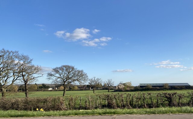
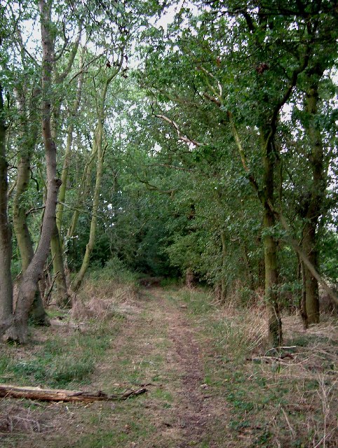
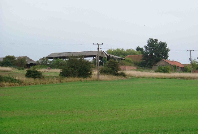
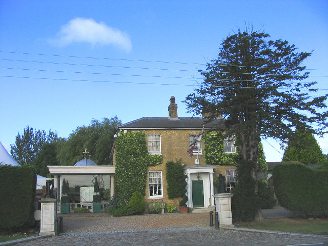
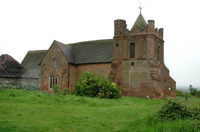
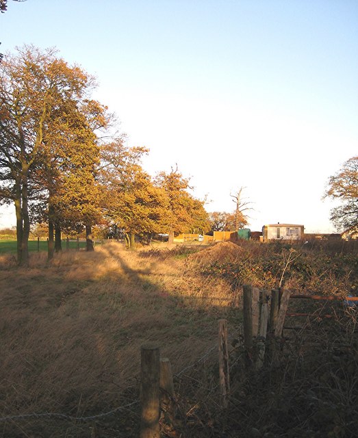
Spearshill Wood is a picturesque woodland located in Essex, England. Covering an area of approximately 100 acres, this woodland is known for its natural beauty and diverse ecosystem. It is a popular destination for nature enthusiasts, hikers, and birdwatchers.

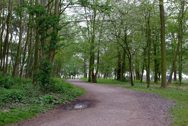
The wood is primarily composed of deciduous trees like oak, beech, and ash, which create a dense and enchanting canopy. The forest floor is adorned with a vibrant carpet of wildflowers, ferns, and mosses, adding to the ethereal atmosphere of the wood.

Spearshill Wood is home to a variety of wildlife, including deer, rabbits, and an array of bird species. Birdwatchers can spot species such as woodpeckers, owls, and warblers, making it an ideal location for birdwatching enthusiasts.

The wood also features several walking trails that wind through its natural wonders, inviting visitors to explore and immerse themselves in its tranquility. These paths offer opportunities for leisurely strolls, dog walking, or more vigorous hikes.

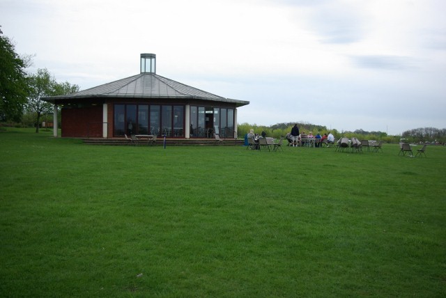
The wood is well-maintained, with designated picnic areas and benches strategically placed for visitors to relax and enjoy the peaceful surroundings. There is also a small car park available for those arriving by car.

Overall, Spearshill Wood is a hidden gem in Essex, offering a sanctuary for nature lovers and a chance to reconnect with the natural world. Its stunning landscapes, diverse flora and fauna, and peaceful ambiance make it a must-visit destination for anyone seeking solace in nature.

If you have any feedback on the listing, please let us know in the comments section below.

Spearshill Wood Images

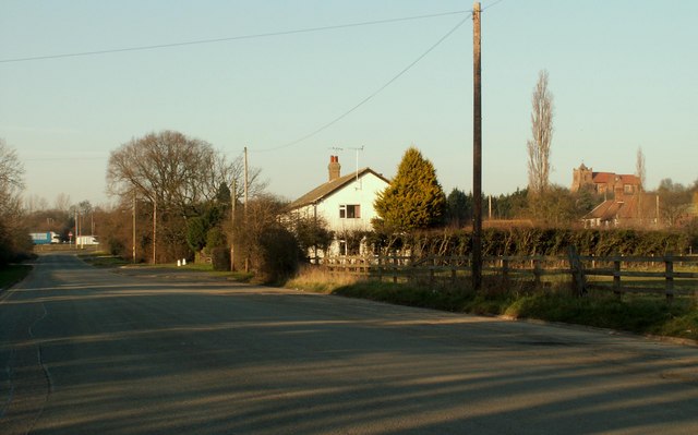
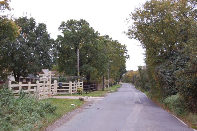
Images are sourced within 2km of 51.592374/0.37441424 or Grid Reference TQ6490. Thanks to Geograph Open Source API. All images are credited.

Brookman’s Farm
Brookman’s Farm
Halfway House Halfway between Hornchurch and Basildon, perhaps?
Halfway House
Halfway between Hornchurch and Basildon, perhaps?
Herongate - The Olde Dog Inn A weather-boarded C18th inn on the Billericay Road out of Herongate with a good choice of ales on offer. 
EH Grade II listed: <span class="nowrap"><a title="https://historicengland.org.uk/listing/the-list/list-entry/1205513?section=official-list-entry" rel="nofollow ugc noopener" href="https://historicengland.org.uk/listing/the-list/list-entry/1205513?section=official-list-entry">Link</a><img style="margin-left:2px;" alt="External link" title="External link - shift click to open in new window" src="https://s1.geograph.org.uk/img/external.png" width="10" height="10"/></span>
See their website here: <span class="nowrap"><a title="https://theoldedoginn.co.uk" rel="nofollow ugc noopener" href="https://theoldedoginn.co.uk">Link</a><img style="margin-left:2px;" alt="External link" title="External link - shift click to open in new window" src="https://s1.geograph.org.uk/img/external.png" width="10" height="10"/></span>
Herongate - The Olde Dog Inn
A weather-boarded C18th inn on the Billericay Road out of Herongate with a good choice of ales on offer. EH Grade II listed: LinkExternal link See their website here: LinkExternal link
Roadsign in Herongate
War Memorial, St Andrew's Methodist Church A war memorial to the men of East Horndon who fell in WWI and WWII.
War Memorial, St Andrew's Methodist Church
A war memorial to the men of East Horndon who fell in WWI and WWII.
The Green Man PH Sunday a.m.
The Green Man PH
Sunday a.m.
The Church on the Hill, East Horndon, Essex All Saints Church, East Horndon - dates back to 15th century. Despite its rural setting it is just yards from the busy A127.
The Church on the Hill, East Horndon, Essex
All Saints Church, East Horndon - dates back to 15th century. Despite its rural setting it is just yards from the busy A127.
A128 to A127 Byway This is a picture of the Byway between Tilbury Road near the  A128 and the A127 at Green Meadows Nurseries. The picture was taken a few yards past the point where the ruts caused by numerous 4x4’s peter out.
A128 to A127 Byway
This is a picture of the Byway between Tilbury Road near the A128 and the A127 at Green Meadows Nurseries. The picture was taken a few yards past the point where the ruts caused by numerous 4x4’s peter out.
Dunton Hills Farm Dunton Hills Farm looking across a field sown with winter wheat
Dunton Hills Farm
Dunton Hills Farm looking across a field sown with winter wheat
Friern Manor Hotel, Dunton, Essex An old manor house - converted to a country hotel. On the west side of Lower Dunton Road.
Friern Manor Hotel, Dunton, Essex
An old manor house - converted to a country hotel. On the west side of Lower Dunton Road.
All Saints, East Horndon, Essex
Bridleway No. 161 to Dunton Wayletts No chance of  me getting through here without a machete and bolt croppers, let alone my horse. Fortunately such blatant PRW obstruction is rare in south Essex.
Bridleway No. 161 to Dunton Wayletts
No chance of me getting through here without a machete and bolt croppers, let alone my horse. Fortunately such blatant PRW obstruction is rare in south Essex.
Part of East Horndon This section of road was once part of the original A.128 until the building of the A.127 dual carriageway. All Saints church can be seen on the hill on the far right of the picture.
Part of East Horndon
This section of road was once part of the original A.128 until the building of the A.127 dual carriageway. All Saints church can be seen on the hill on the far right of the picture.
Footpath, Thorndon Country Park
Pavilion Cafe, Thorndon Country Park
Approach Road to Ford's Dunton Ford's plant at Dunton is for research and development. This is the road approaching the entrance.
Approach Road to Ford's Dunton
Ford's plant at Dunton is for research and development. This is the road approaching the entrance.
Halfway House, East Horndon The Halfway House, so called because of its position on the journey from East London to Southend-on-Sea, used to be a popular stop for the "beanos" (outings by coach with frequent pub stops!) to Southend.
Halfway House, East Horndon
The Halfway House, so called because of its position on the journey from East London to Southend-on-Sea, used to be a popular stop for the "beanos" (outings by coach with frequent pub stops!) to Southend.
Path to Old Hall Pond, Thorndon Country Park South Through the trees is Old Hall Pond, down this path leading from the car park and visitor centre.
Path to Old Hall Pond, Thorndon Country Park South
Through the trees is Old Hall Pond, down this path leading from the car park and visitor centre.
Show me another place!

Spearshill Wood is located at Grid Ref: TQ6490 (Lat: 51.592374, Lng: 0.37441424)

Administrative County: Essex

District: Brentwood

Police Authority: Essex

What 3 Words

///large.buns.curry. Near Ingrave, Essex

Nearby Locations

Spearshill Wood Dog Wood

Related Wikis

Dunton Wayletts

Dunton Wayletts or Dunton is hamlet and former civil parish in the Borough of Basildon in Essex, England. It lies on the western outskirts of the borough...

All Saints Church, East Horndon

All Saints' Church is a redundant Anglican church in the village of East Horndon, Essex, England. It is recorded in the National Heritage List for England...

Herongate

Herongate is a village in south Essex, England. The village is situated on the A128 road between Brentwood and West Horndon. The population of the village...

Billericay Rural District

Billericay Rural District was a local government district in Essex, England from 1894 to 1934. It consisted of the following parishes: Basildon Brentwood...

Nearby Amenities

Located within 500m of 51.592374,0.37441424
Created By: YahooApplet 1.0
Lat/Long: 51.595498/0.3793511
Created By: YahooApplet 1.0
Lat/Long: 51.5934518/0.3806493
Created By: YahooApplet 1.0
Lat/Long: 51.5921721/0.3724095
Created By: YahooApplet 1.0
Lat/Long: 51.5916789/0.3726241
Created By: YahooApplet 1.0
Lat/Long: 51.5913056/0.3726241
Created By: YahooApplet 1.0
Lat/Long: 51.5910256/0.3721735
Created By: YahooApplet 1.0
Lat/Long: 51.5908124/0.37168
Created By: YahooApplet 1.0
Lat/Long: 51.5906657/0.3715298
Created By: YahooApplet 1.0
Lat/Long: 51.5901458/0.3718731
Created By: YahooApplet 1.0
Lat/Long: 51.5898925/0.3718731
Created By: YahooApplet 1.0
Lat/Long: 51.5898258/0.3715083
Created By: YahooApplet 1.0
Lat/Long: 51.5909723/0.370371
Created By: YahooApplet 1.0
Lat/Long: 51.5913856/0.370135
Created By: YahooApplet 1.0
Lat/Long: 51.5916255/0.3701565
Power: tower
Lat/Long: 51.5961245/0.3720231
Power: tower
Lat/Long: 51.5920029/0.372066
Power: tower
Lat/Long: 51.5897686/0.3717227
Golf: pin
Lat/Long: 51.5904515/0.3699293
Golf: pin
Lat/Long: 51.5934859/0.3716437
Golf: pin
Lat/Long: 51.5904852/0.374675
Golf: pin
Lat/Long: 51.5906685/0.3721157
Golf: pin
Lat/Long: 51.5908006/0.3687917
Golf: pin
Lat/Long: 51.5920555/0.3689864
Golf: pin
Lat/Long: 51.5913342/0.368061
Colour: red
Marker: aerial
Utility: gas
Lat/Long: 51.5899368/0.3781824
Colour: red
Marker: aerial
Utility: gas
Lat/Long: 51.5899313/0.3780945
Marker: post
Utility: gas
Lat/Long: 51.5899238/0.3780761
Colour: red
Marker: post
Utility: gas
Lat/Long: 51.58982/0.3780946
Marker: post
Utility: gas
Lat/Long: 51.5899736/0.3780707
Entrance: main
Lat/Long: 51.5936767/0.3684612
Colour: red
Inscription: GAS NTS HP GAS PIPELINE
Marker: post
Material: plastic
Utility: gas
Lat/Long: 51.595552/0.3744085
Colour: red
Inscription: GAS NTS HP GAS PIPELINE
Marker: post
Material: plastic
Utility: gas
Lat/Long: 51.5954737/0.3744874
Colour: red and white
Marker: aerial
Material: plastic
Utility: gas
Lat/Long: 51.5955583/0.3743996
Colour: yellow
Marker: post
Material: concrete
Utility: gas
Lat/Long: 51.5954761/0.3744989
Colour: black
Marker: yes
Material: plastic
Utility: yes
Lat/Long: 51.5899882/0.3799199
The data included in this document is from www.openstreetmap.org. The data is made available under ODbL.

Have you been to Spearshill Wood?

Leave your review of Spearshill Wood below (or comments, questions and feedback).