Dog Wood

Wood, Forest in Essex Brentwood

England

Dog Wood

View over Mill Wood View over Mill Wood from a high point within South Thorndon Country Park, Langdon Hills can be seen in the distance.
View over Mill Wood Credit: Adrian Benn

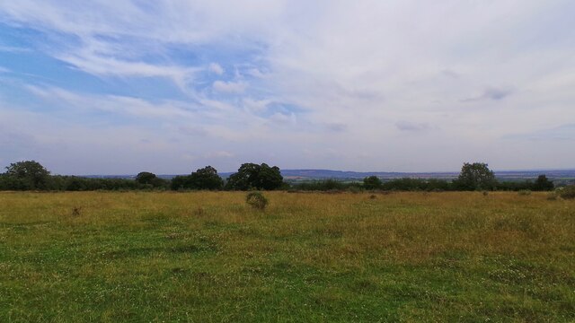
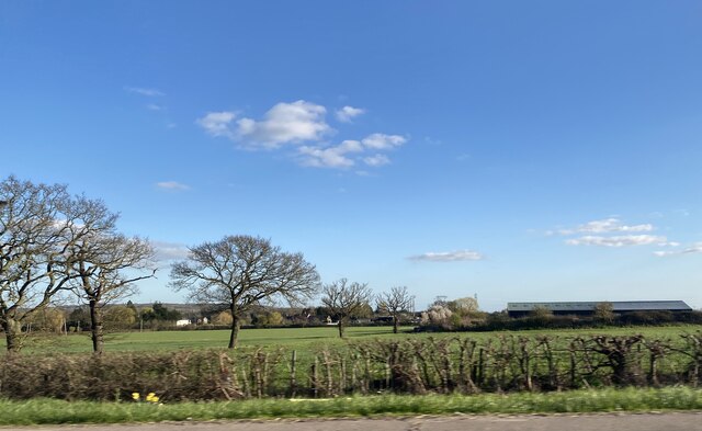
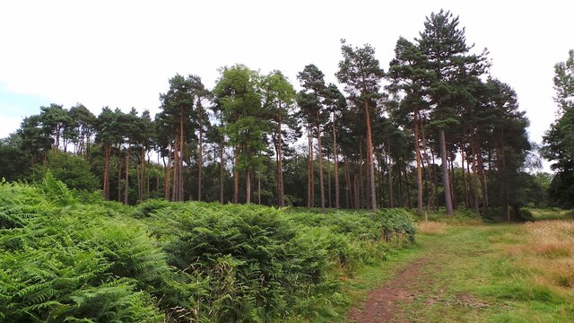
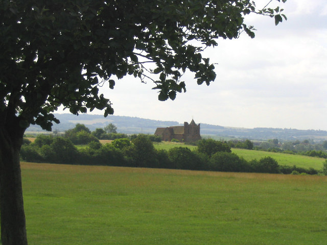
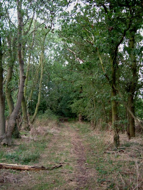
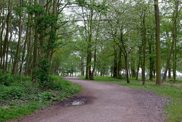
Dog Wood is a picturesque forest located in Essex, England. Covering an area of approximately 100 acres, it is a popular destination for nature lovers and outdoor enthusiasts. The woodland is characterized by its diverse range of trees, including oak, beech, and birch, which create a vibrant and enchanting atmosphere throughout the year.

The forest is home to a variety of wildlife, making it a haven for nature enthusiasts. Visitors can spot an array of bird species, such as woodpeckers, owls, and finches, as well as small mammals like squirrels, foxes, and rabbits. The peaceful surroundings and tranquil environment make it an ideal place for birdwatching and photography.

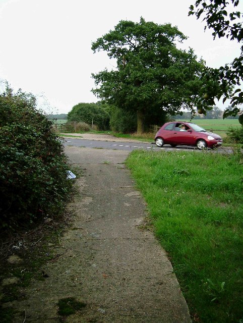
Dog Wood offers a network of well-maintained walking trails, allowing visitors to explore the area at their own pace. These trails cater to different levels of difficulty and provide opportunities for leisurely strolls or more challenging hikes. The paths are surrounded by lush vegetation, wildflowers, and ferns, creating a beautiful and serene ambiance.

In addition to its natural beauty, Dog Wood boasts historical significance. The forest has been part of the local landscape for centuries, and remnants of ancient settlements can still be found within its boundaries. Archaeological discoveries, including pottery and tools, provide evidence of human habitation in the area dating back to the Iron Age.

Overall, Dog Wood offers a captivating blend of natural beauty, wildlife, and historical significance. Whether you are seeking a peaceful retreat, an opportunity to connect with nature, or a chance to immerse yourself in history, this enchanting forest in Essex is sure to leave a lasting impression.

If you have any feedback on the listing, please let us know in the comments section below.
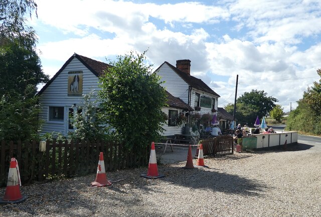
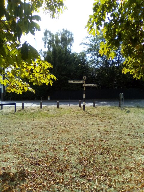
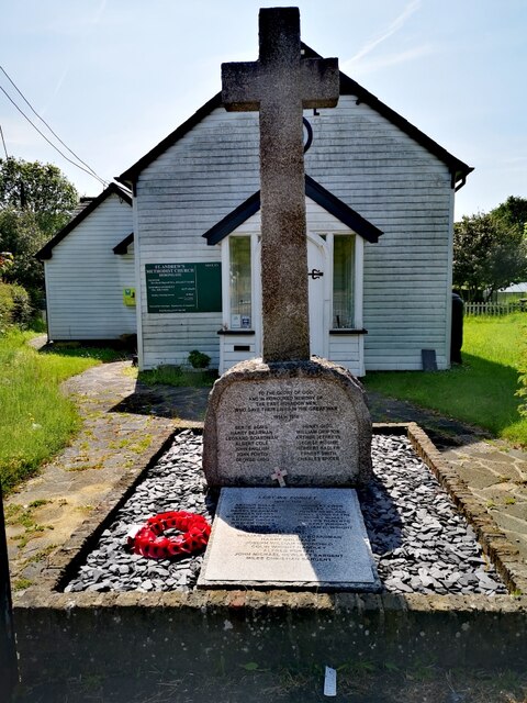
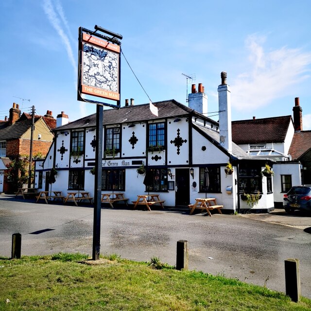
Dog Wood Images

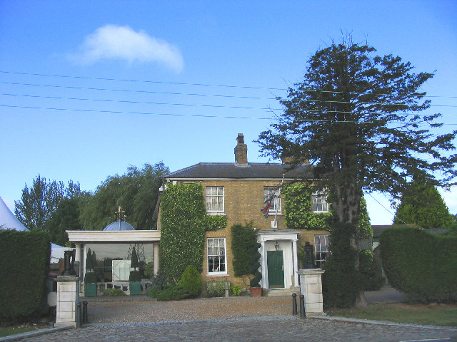
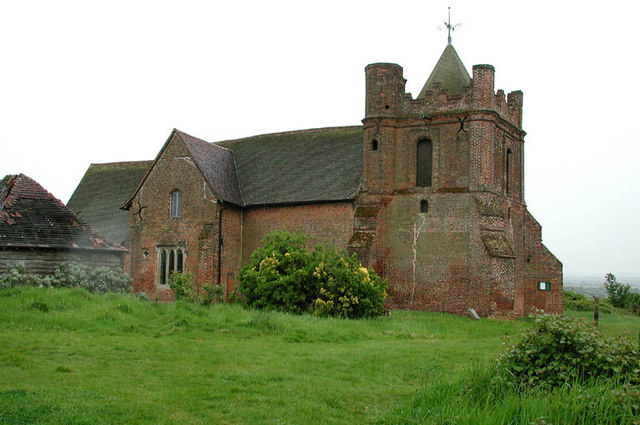
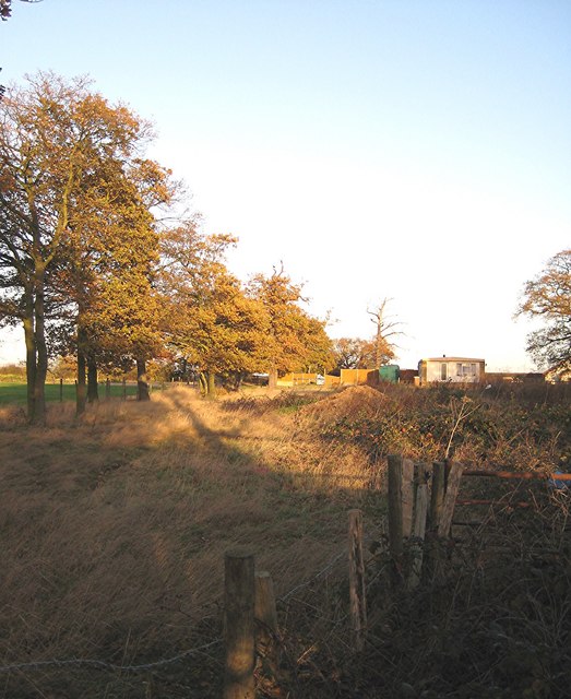
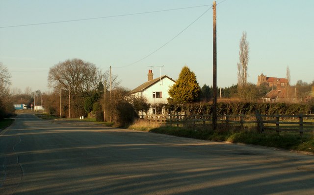
Images are sourced within 2km of 51.590906/0.37140681 or Grid Reference TQ6490. Thanks to Geograph Open Source API. All images are credited.

View over Mill Wood View over Mill Wood from a high point within South Thorndon Country Park, Langdon Hills can be seen in the distance.
View over Mill Wood
View over Mill Wood from a high point within South Thorndon Country Park, Langdon Hills can be seen in the distance.
Brookman’s Farm
Brookman’s Farm
Halfway House Halfway between Hornchurch and Basildon, perhaps?
Halfway House
Halfway between Hornchurch and Basildon, perhaps?
Pine Trees in Thorndon Park
Herongate - The Olde Dog Inn A weather-boarded C18th inn on the Billericay Road out of Herongate with a good choice of ales on offer. 
EH Grade II listed: <span class="nowrap"><a title="https://historicengland.org.uk/listing/the-list/list-entry/1205513?section=official-list-entry" rel="nofollow ugc noopener" href="https://historicengland.org.uk/listing/the-list/list-entry/1205513?section=official-list-entry">Link</a><img style="margin-left:2px;" alt="External link" title="External link - shift click to open in new window" src="https://s1.geograph.org.uk/img/external.png" width="10" height="10"/></span>
See their website here: <span class="nowrap"><a title="https://theoldedoginn.co.uk" rel="nofollow ugc noopener" href="https://theoldedoginn.co.uk">Link</a><img style="margin-left:2px;" alt="External link" title="External link - shift click to open in new window" src="https://s1.geograph.org.uk/img/external.png" width="10" height="10"/></span>
Herongate - The Olde Dog Inn
A weather-boarded C18th inn on the Billericay Road out of Herongate with a good choice of ales on offer. EH Grade II listed: LinkExternal link See their website here: LinkExternal link
Roadsign in Herongate
War Memorial, St Andrew's Methodist Church A war memorial to the men of East Horndon who fell in WWI and WWII.
War Memorial, St Andrew's Methodist Church
A war memorial to the men of East Horndon who fell in WWI and WWII.
The Green Man PH Sunday a.m.
The Green Man PH
Sunday a.m.
The Church on the Hill, East Horndon, Essex All Saints Church, East Horndon - dates back to 15th century. Despite its rural setting it is just yards from the busy A127.
The Church on the Hill, East Horndon, Essex
All Saints Church, East Horndon - dates back to 15th century. Despite its rural setting it is just yards from the busy A127.
Byway and A128 This is a Byway open to all traffic from Tilbury Road to Green Meadows Nurseries on the A127 the photo was taken at the point where it crosses the A128
Byway and A128
This is a Byway open to all traffic from Tilbury Road to Green Meadows Nurseries on the A127 the photo was taken at the point where it crosses the A128
A128 to A127 Byway This is a picture of the Byway between Tilbury Road near the  A128 and the A127 at Green Meadows Nurseries. The picture was taken a few yards past the point where the ruts caused by numerous 4x4’s peter out.
A128 to A127 Byway
This is a picture of the Byway between Tilbury Road near the A128 and the A127 at Green Meadows Nurseries. The picture was taken a few yards past the point where the ruts caused by numerous 4x4’s peter out.
Dunton Hills Farm Dunton Hills Farm looking across a field sown with winter wheat
Dunton Hills Farm
Dunton Hills Farm looking across a field sown with winter wheat
Friern Manor Hotel, Dunton, Essex An old manor house - converted to a country hotel. On the west side of Lower Dunton Road.
Friern Manor Hotel, Dunton, Essex
An old manor house - converted to a country hotel. On the west side of Lower Dunton Road.
All Saints, East Horndon, Essex
Bridleway No. 161 to Dunton Wayletts No chance of  me getting through here without a machete and bolt croppers, let alone my horse. Fortunately such blatant PRW obstruction is rare in south Essex.
Bridleway No. 161 to Dunton Wayletts
No chance of me getting through here without a machete and bolt croppers, let alone my horse. Fortunately such blatant PRW obstruction is rare in south Essex.
Part of East Horndon This section of road was once part of the original A.128 until the building of the A.127 dual carriageway. All Saints church can be seen on the hill on the far right of the picture.
Part of East Horndon
This section of road was once part of the original A.128 until the building of the A.127 dual carriageway. All Saints church can be seen on the hill on the far right of the picture.
Footpath, Thorndon Country Park
Pavilion Cafe, Thorndon Country Park
Show me another place!

Dog Wood is located at Grid Ref: TQ6490 (Lat: 51.590906, Lng: 0.37140681)

Administrative County: Essex

District: Brentwood

Police Authority: Essex

What 3 Words

///gone.live.bags. Near Ingrave, Essex

Nearby Locations

Spearshill Wood Dog Wood

Related Wikis

Dunton Wayletts

Dunton Wayletts or Dunton is hamlet and former civil parish in the Borough of Basildon in Essex, England. It lies on the western outskirts of the borough...

All Saints Church, East Horndon

All Saints' Church is a redundant Anglican church in the village of East Horndon, Essex, England. It is recorded in the National Heritage List for England...

Herongate

Herongate is a village in south Essex, England. The village is situated on the A128 road between Brentwood and West Horndon. The population of the village...

Herongate and Ingrave

Herongate and Ingrave is a civil parish in the Brentwood borough in Essex, England. The parish includes the villages of Ingrave and Herongate. The parish...

Nearby Amenities

Located within 500m of 51.590906,0.37140681
Created By: YahooApplet 1.0
Lat/Long: 51.5921721/0.3724095
Created By: YahooApplet 1.0
Lat/Long: 51.5916789/0.3726241
Created By: YahooApplet 1.0
Lat/Long: 51.5913056/0.3726241
Created By: YahooApplet 1.0
Lat/Long: 51.5910256/0.3721735
Created By: YahooApplet 1.0
Lat/Long: 51.5908124/0.37168
Created By: YahooApplet 1.0
Lat/Long: 51.5906657/0.3715298
Created By: YahooApplet 1.0
Lat/Long: 51.5901458/0.3718731
Created By: YahooApplet 1.0
Lat/Long: 51.5898925/0.3718731
Created By: YahooApplet 1.0
Lat/Long: 51.5898258/0.3715083
Created By: YahooApplet 1.0
Lat/Long: 51.5909723/0.370371
Created By: YahooApplet 1.0
Lat/Long: 51.5913856/0.370135
Created By: YahooApplet 1.0
Lat/Long: 51.5916255/0.3701565
Created By: YahooApplet 1.0
Lat/Long: 51.5889793/0.3649101
Created By: YahooApplet 1.0
Lat/Long: 51.5896125/0.3647062
Created By: YahooApplet 1.0
Lat/Long: 51.5897325/0.364835
Created By: YahooApplet 1.0
Lat/Long: 51.5898725/0.364835
Created By: YahooApplet 1.0
Lat/Long: 51.5900125/0.3649208
Created By: YahooApplet 1.0
Lat/Long: 51.5901258/0.3649101
Created By: YahooApplet 1.0
Lat/Long: 51.5903058/0.364556
Created By: YahooApplet 1.0
Lat/Long: 51.5903191/0.3643522
Power: tower
Lat/Long: 51.5920029/0.372066
Power: tower
Lat/Long: 51.5897686/0.3717227
Golf: pin
Lat/Long: 51.5876772/0.369717
Golf: pin
Lat/Long: 51.5904515/0.3699293
Golf: pin
Lat/Long: 51.5934859/0.3716437
Golf: pin
Lat/Long: 51.5904852/0.374675
Golf: pin
Lat/Long: 51.5906685/0.3721157
Golf: pin
Lat/Long: 51.5865719/0.3725181
Golf: pin
Lat/Long: 51.5908006/0.3687917
Golf: pin
Lat/Long: 51.5920555/0.3689864
Golf: pin
Lat/Long: 51.5913342/0.368061
Colour: red
Marker: aerial
Utility: gas
Lat/Long: 51.5899368/0.3781824
Colour: red
Marker: aerial
Utility: gas
Lat/Long: 51.5899313/0.3780945
Marker: post
Utility: gas
Lat/Long: 51.5899238/0.3780761
Colour: red
Marker: post
Utility: gas
Lat/Long: 51.58982/0.3780946
Marker: post
Utility: gas
Lat/Long: 51.5899736/0.3780707
Entrance: main
Lat/Long: 51.5936767/0.3684612
The data included in this document is from www.openstreetmap.org. The data is made available under ODbL.

Have you been to Dog Wood?

Leave your review of Dog Wood below (or comments, questions and feedback).