Shepherds Shaw
Wood, Forest in Kent
England
Shepherds Shaw
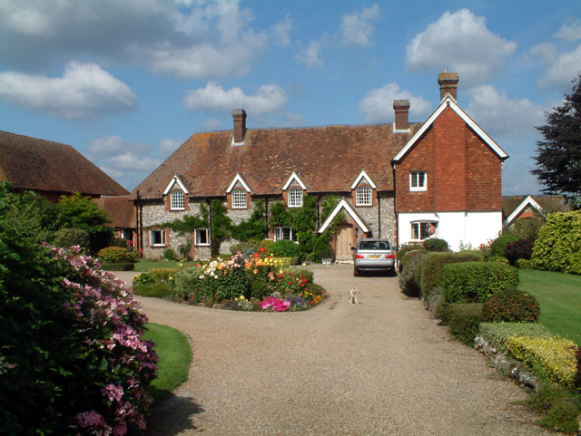
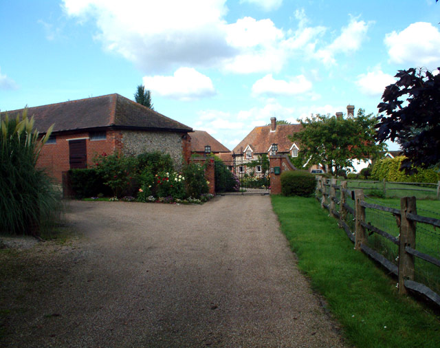
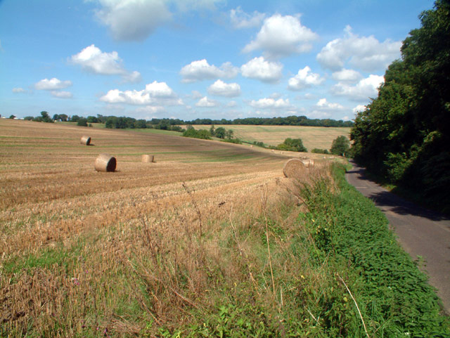
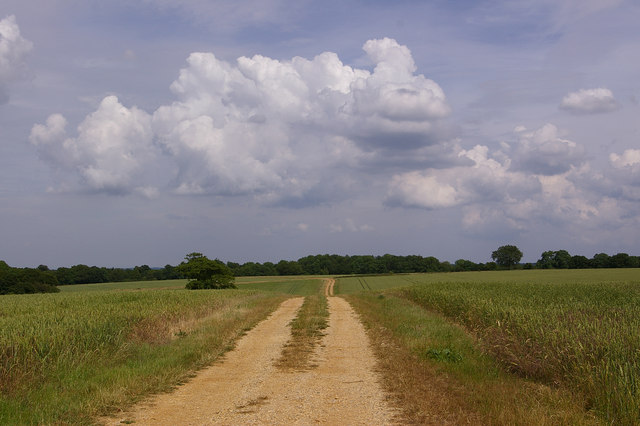
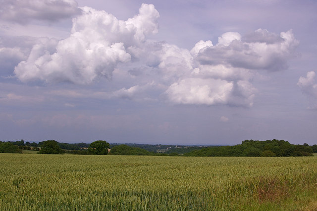
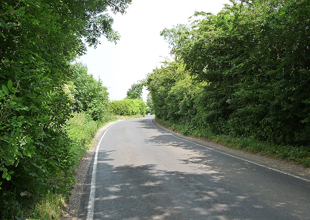
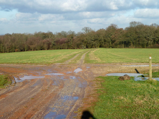
Shepherds Shaw, Kent is a picturesque woodland area located in the southeast of England. Nestled within the larger Forest of Blean, Shepherds Shaw boasts an enchanting natural beauty that attracts visitors and nature enthusiasts alike.
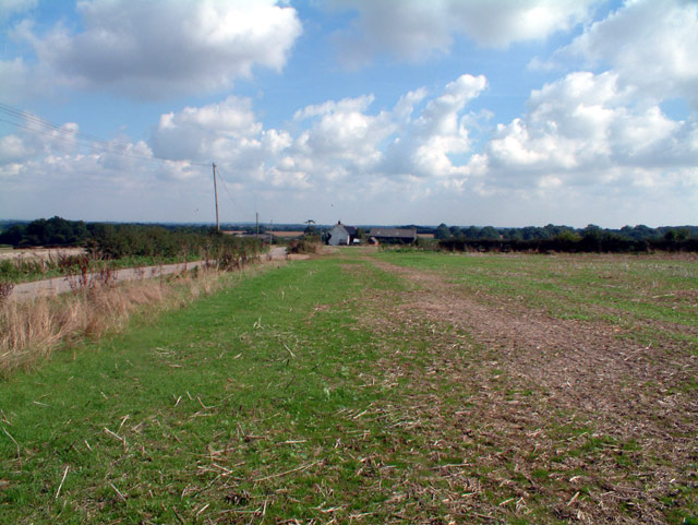
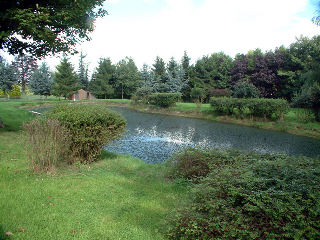
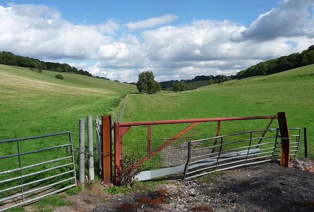
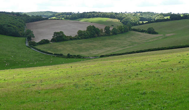
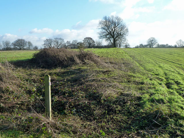
Covering an area of approximately 50 hectares, Shepherds Shaw is characterized by its dense woodland and lush vegetation. The forest is predominantly composed of native tree species such as oak, beech, and silver birch, creating a diverse and vibrant ecosystem. The canopy of trees provides a haven for numerous bird species, including woodpeckers, nuthatches, and blue tits, making it a popular spot for birdwatching enthusiasts.
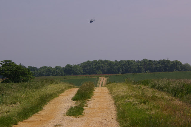
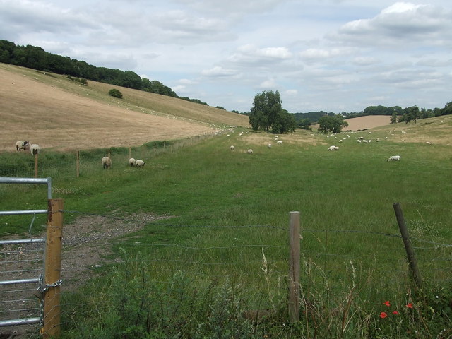
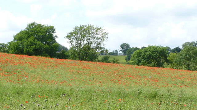
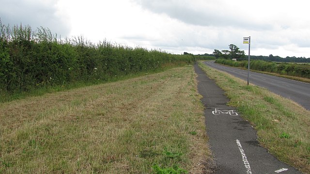
The woodland is crisscrossed with a network of walking trails, allowing visitors to explore its various scenic routes at their leisure. These paths meander through the forest, offering stunning views of the surrounding landscape and the opportunity to spot wildlife such as deer, foxes, and rabbits. The forest floor is adorned with an array of wildflowers and ferns, adding to the magical atmosphere of Shepherds Shaw.
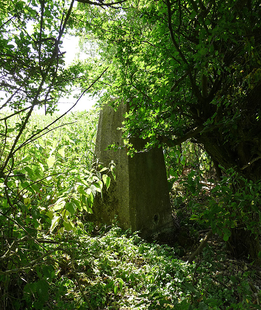
For those interested in history, Shepherds Shaw also holds archaeological significance. The area has been inhabited since ancient times, with evidence of human activity dating back to the Neolithic period. Remnants of old settlements, flint tools, and burial mounds can still be found within the woodland, providing a glimpse into the area's rich past.
Overall, Shepherds Shaw, Kent is a captivating woodland retreat that offers visitors a chance to immerse themselves in nature, discover its diverse wildlife, and appreciate its historical significance.
If you have any feedback on the listing, please let us know in the comments section below.
Shepherds Shaw Images
Images are sourced within 2km of 51.298288/0.015450404 or Grid Reference TQ4057. Thanks to Geograph Open Source API. All images are credited.

Shepherds Shaw is located at Grid Ref: TQ4057 (Lat: 51.298288, Lng: 0.015450404)
Unitary Authority: Bromley
Police Authority: Metropolitan
What 3 Words
///allow.fear.spice. Near Biggin Hill, London
Nearby Locations
Related Wikis

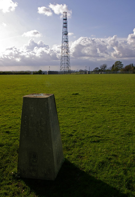
Tatsfield Receiving Station
The Tatsfield Receiving Station – known formally as the BBC Engineering Measurement and Receiving Station – was a radio broadcasting signals-receiving...

Tatsfield
Tatsfield is a village and civil parish in the Tandridge District of Surrey, England. It is located 3.3 miles north west of Westerham and 3.9 miles north...

Biggin Hill
Biggin Hill is a town in South East London, England, within the London Borough of Bromley. It is situated beyond London's contiguous built-up area in the...
Titsey
Titsey is a rural village and a civil parish on the North Downs almost wholly within the M25 London Orbital Motorway in the Tandridge District of Surrey...
Botley Hill
Botley Hill is a hill in Surrey and is the highest point of the North Downs, with a height of 269.6 metres (885 ft). The Prime Meridian crosses the hill...

Aperfield
Aperfield is a hamlet and area in London, England, within the London Borough of Bromley, 16.2 miles (26 km) south-southeast of Charing Cross, and outside...
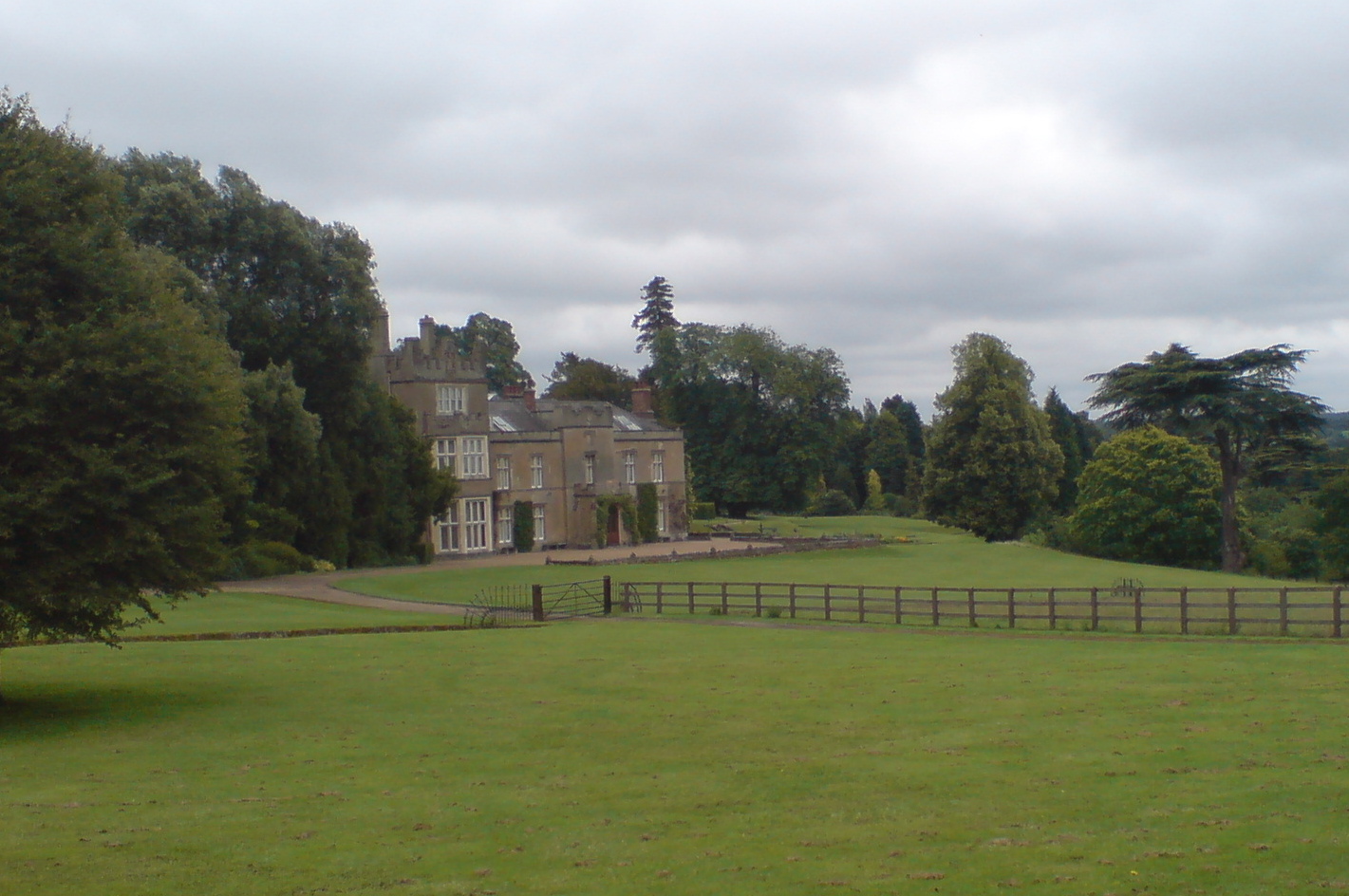
Titsey Place
Titsey Place is an English country house near Oxted in Surrey, England. It was successively the seat of the Gresham and Leveson-Gower families and is now...

South Street, Bromley
South Street is a hamlet in the far south of the London Borough of Bromley, 16.5 miles (27 km) south south-east from Charing Cross. It is the highest settlement...
Nearby Amenities
Located within 500m of 51.298288,0.015450404Have you been to Shepherds Shaw?
Leave your review of Shepherds Shaw below (or comments, questions and feedback).