Cherry Tree Shaw
Wood, Forest in Kent
England
Cherry Tree Shaw
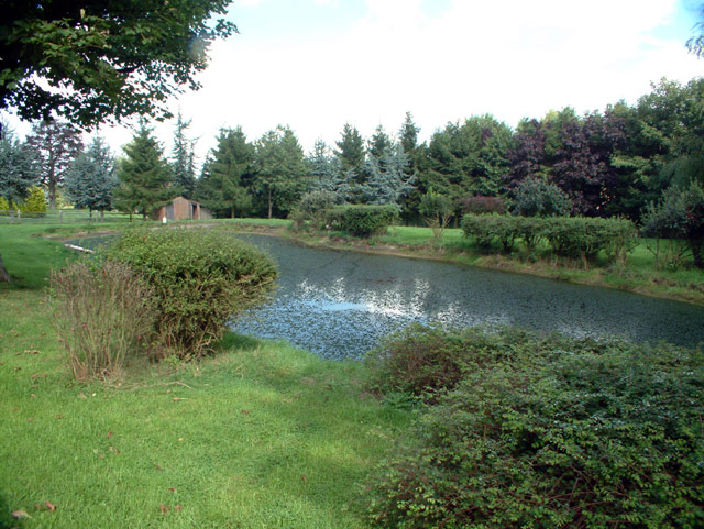
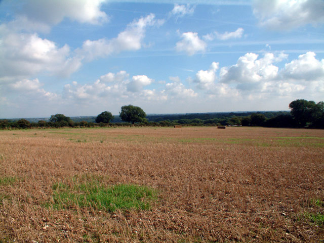
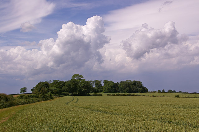
Cherry Tree Shaw is a picturesque wooded area located in the county of Kent, England. Situated on the outskirts of the village of Kent, this enchanting wood is known for its dense cherry tree population, which gives it its name. The forest spans across approximately 50 acres and is a popular destination for nature enthusiasts, hikers, and wildlife lovers.
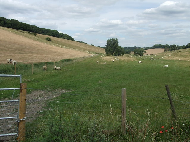
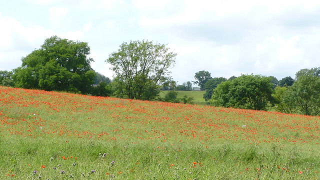
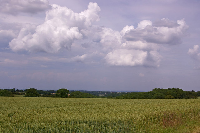
The wood is characterized by its vibrant and diverse flora and fauna. Apart from the abundant cherry trees, which bloom in a riot of colors during the spring, the forest is home to various other tree species such as oak, beech, and birch. These majestic trees provide a tranquil and shaded environment, making it a perfect retreat from the hustle and bustle of daily life.
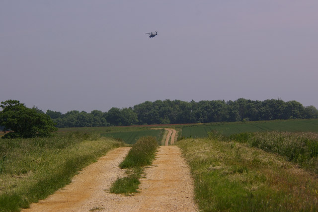
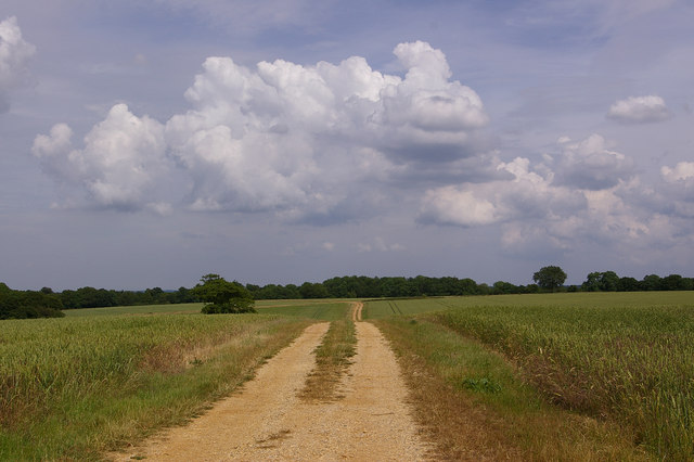
Cherry Tree Shaw offers a network of well-maintained trails, allowing visitors to explore its natural beauty at their own pace. As visitors wander through the wood, they may encounter a wide array of wildlife, including squirrels, rabbits, and various species of birds. Birdwatchers are particularly drawn to the area due to the presence of rare and migratory bird species.
In addition to its natural charm, Cherry Tree Shaw also holds historical significance. It is believed that the wood has been in existence for centuries, and there are remnants of ancient settlements and burial mounds within its boundaries.
Overall, Cherry Tree Shaw is a captivating destination that showcases the beauty of nature and offers a tranquil escape for those seeking a connection with the outdoors.
If you have any feedback on the listing, please let us know in the comments section below.
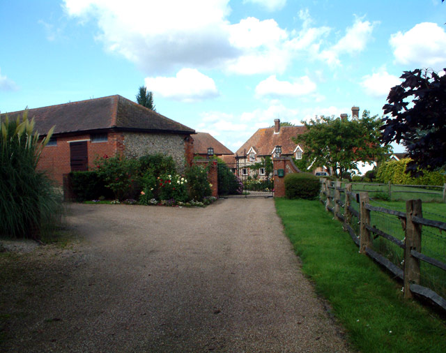
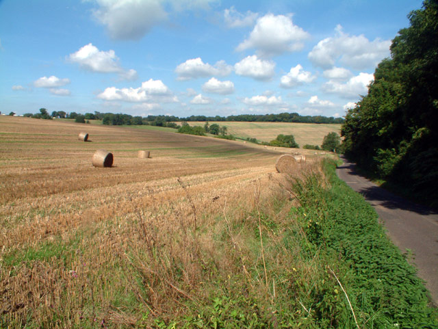
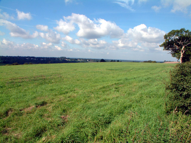
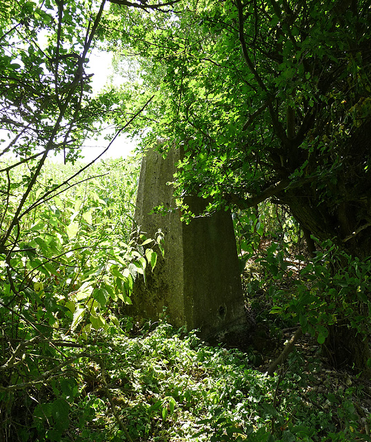
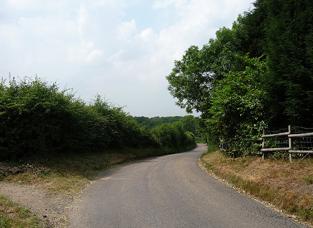
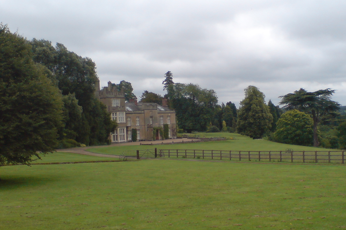
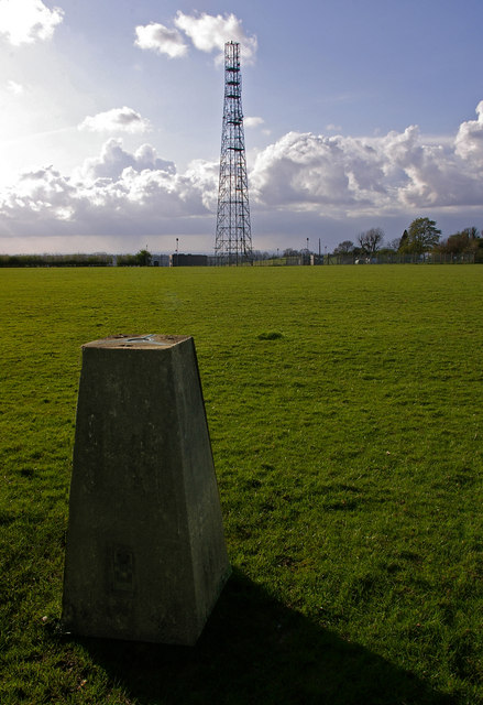
Cherry Tree Shaw Images
Images are sourced within 2km of 51.300628/0.012224717 or Grid Reference TQ4057. Thanks to Geograph Open Source API. All images are credited.
Cherry Tree Shaw is located at Grid Ref: TQ4057 (Lat: 51.300628, Lng: 0.012224717)
Unitary Authority: Bromley
Police Authority: Metropolitan
What 3 Words
///poet.crate.lazy. Near Biggin Hill, London
Nearby Locations
Related Wikis

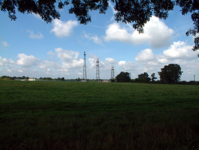
Tatsfield Receiving Station
The Tatsfield Receiving Station – known formally as the BBC Engineering Measurement and Receiving Station – was a radio broadcasting signals-receiving...

Tatsfield
Tatsfield is a village and civil parish in the Tandridge District of Surrey, England. It is located 3.3 miles north west of Westerham and 3.9 miles north...

Biggin Hill
Biggin Hill is a town in South East London, England, within the London Borough of Bromley. It is situated beyond London's contiguous built-up area in the...
Titsey
Titsey is a rural village and a civil parish on the North Downs almost wholly within the M25 London Orbital Motorway in the Tandridge District of Surrey...

Aperfield
Aperfield is a hamlet and area in London, England, within the London Borough of Bromley, 16.2 miles (26 km) south-southeast of Charing Cross, and outside...
Botley Hill
Botley Hill is a hill in Surrey and is the highest point of the North Downs, with a height of 269.6 metres (885 ft). The Prime Meridian crosses the hill...

Nore Hill Pinnacle
Nore Hill Pinnacle is a 0.2-hectare (0.49-acre) local nature reserve east of Warlingham in Surrey, England. It is owned by the Earl Compton Estate and...
Titsey Place
Titsey Place is an English country house near Oxted in Surrey, England. It was successively the seat of the Gresham and Leveson-Gower families and is now...
Nearby Amenities
Located within 500m of 51.300628,0.012224717Have you been to Cherry Tree Shaw?
Leave your review of Cherry Tree Shaw below (or comments, questions and feedback).