Round Wood

Wood, Forest in Kent

England

Round Wood

The Parish Church of St. Leonard Chelsham Located on a footpath off Church Lane Chelsham, near Warlingham
See <span class="nowrap"><a title="http://www.southwark.anglican.org/parishes/303k2_a.htm" rel="nofollow ugc noopener" href="http://www.southwark.anglican.org/parishes/303k2_a.htm">Link</a><img style="margin-left:2px;" alt="External link" title="External link - shift click to open in new window" src="https://s1.geograph.org.uk/img/external.png" width="10" height="10"/></span>
The Parish Church of St. Leonard Chelsham Credit: Lorna van Zee

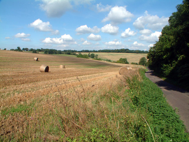
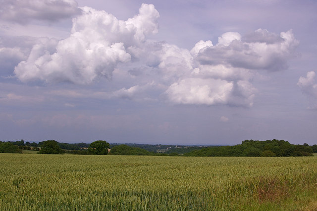
Round Wood is a charming forest located in the county of Kent, England. Situated near the village of Trottiscliffe, this woodland area covers an approximate area of 350 acres. The forest is known for its unique circular shape, which gives it its name, and is a popular destination for nature enthusiasts and hikers.

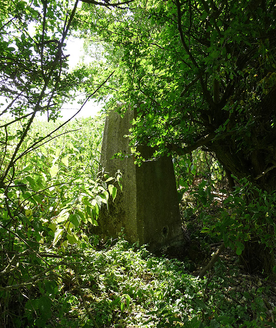
Round Wood is predominantly composed of broadleaf trees, including oak, ash, and beech, creating a diverse and rich ecosystem. The forest floor is covered in a carpet of lush ferns, wildflowers, and mosses, providing a picturesque setting for visitors. The woodland is also home to various wildlife species, including birds, deer, and smaller mammals.

Visitors can explore the forest through a network of well-maintained trails and footpaths that wind through the trees. These pathways offer the opportunity to immerse oneself in nature and enjoy the peaceful ambiance of the woodland. In addition to hiking, Round Wood also provides space for outdoor activities such as picnicking and camping, making it a popular destination for families and outdoor enthusiasts.

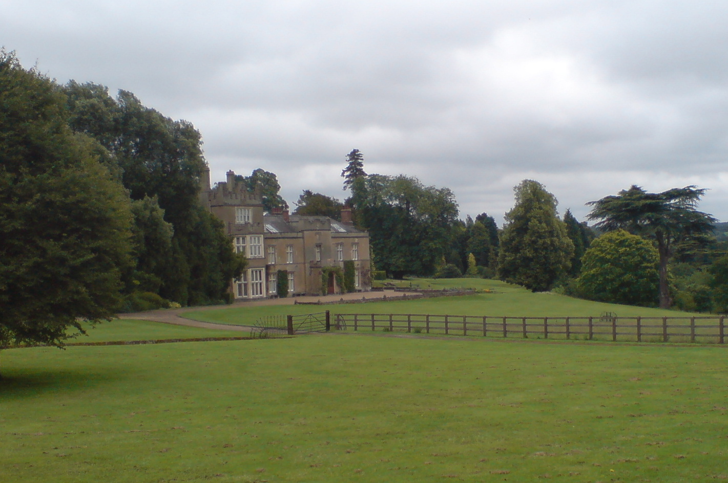
Round Wood is easily accessible by road and offers ample parking facilities, ensuring convenience for visitors. The forest is open year-round and provides a beautiful setting for seasonal activities, such as bluebell walks in spring or autumn foliage viewing in the fall.

Overall, Round Wood in Kent is a tranquil and picturesque forest, offering a wonderful escape from the hustle and bustle of everyday life. Its natural beauty and diverse ecosystem make it a must-visit destination for nature lovers and those seeking a peaceful retreat.

If you have any feedback on the listing, please let us know in the comments section below.
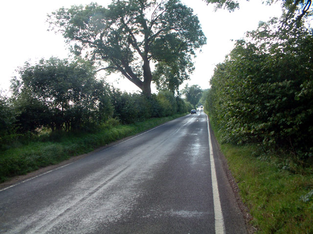
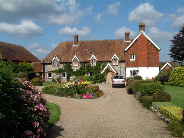
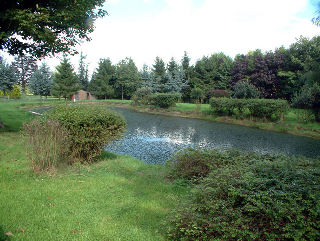
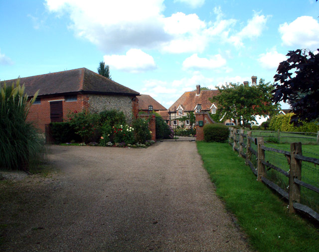
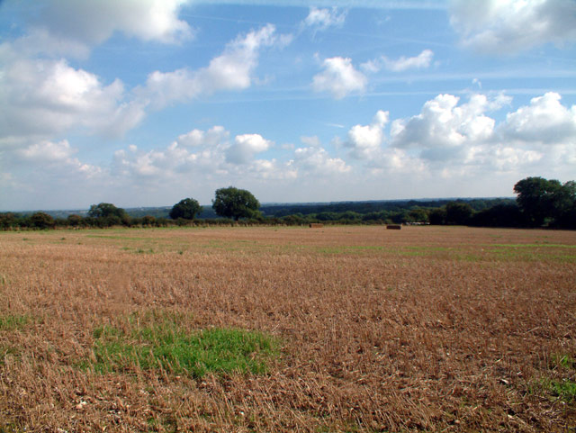
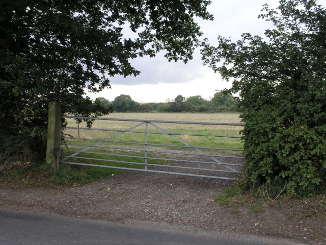
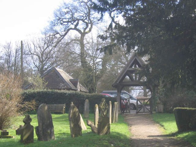
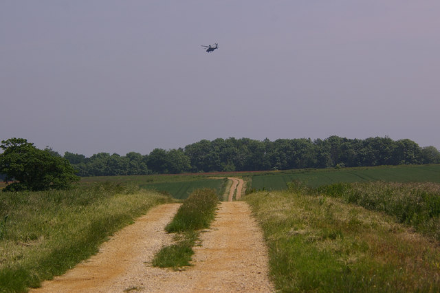
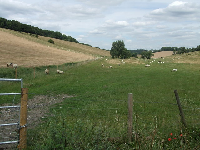
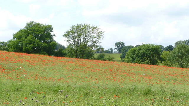
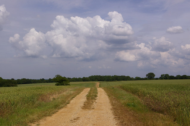
Round Wood Images

Images are sourced within 2km of 51.30289/0.012467116 or Grid Reference TQ4057. Thanks to Geograph Open Source API. All images are credited.

The Parish Church of St. Leonard Chelsham Located on a footpath off Church Lane Chelsham, near Warlingham
See <span class="nowrap"><a title="http://www.southwark.anglican.org/parishes/303k2_a.htm" rel="nofollow ugc noopener" href="http://www.southwark.anglican.org/parishes/303k2_a.htm">Link</a><img style="margin-left:2px;" alt="External link" title="External link - shift click to open in new window" src="https://s1.geograph.org.uk/img/external.png" width="10" height="10"/></span>
The Parish Church of St. Leonard Chelsham
Located on a footpath off Church Lane Chelsham, near Warlingham See LinkExternal link
Stables at entrance to Chelsham Court, CR6
Washpond Cottages, Washpond Lane, CR6
Radio station and masts by Beech Farm Road, CR6
Beech Farm Road, CR6 Looking south.
Beech Farm Road, CR6
Looking south.
Beddlestead House (former Beddlestead Farm), Chelsham, CR6 A grade II* listed building. The nearby barn is also listed.
Beddlestead House (former Beddlestead Farm), Chelsham, CR6
A grade II* listed building. The nearby barn is also listed.
Pond at Beddlestead House, Beddlestead Lane, Chelsham CR6
Barn at Beddlestead House, Chelsham, CR6 The barn (on the left) is grade II listed, and the house is grade II*.
Barn at Beddlestead House, Chelsham, CR6
The barn (on the left) is grade II listed, and the house is grade II*.
Beddlestead Lane, Chelsham, CR6 Looking north.
Beddlestead Lane, Chelsham, CR6
Looking north.
View from Beech Farm Road, CR6 Looking west near Beech Farm towards Ashen Shaw.
View from Beech Farm Road, CR6
Looking west near Beech Farm towards Ashen Shaw.
Farm gate Some fields, intersected by a road which follows the course of an old Roman Road. The path of the roman road can be seen just behind the gate.
Farm gate
Some fields, intersected by a road which follows the course of an old Roman Road. The path of the roman road can be seen just behind the gate.
St Leonard's churchyard, Chelsham Lych gate and tombstones in the churchyard of St Leonard's parish church <a href="https://www.geograph.org.uk/photo/33783">TQ3859 : The Parish Church of St. Leonard Chelsham</a>
St Leonard's churchyard, Chelsham
Lych gate and tombstones in the churchyard of St Leonard's parish church TQ3859 : The Parish Church of St. Leonard Chelsham
Footpath to Beddlestead In the sky is an Apache helicopter, part of the display at the Biggin Hill Air Show taking place that weekend.
Footpath to Beddlestead
In the sky is an Apache helicopter, part of the display at the Biggin Hill Air Show taking place that weekend.
Sheep at Beddlestead
Poppy-covered Landscape Near Chelsham
Footpath to Beddlestead Footpath leading from Croydon Road to Beddlestead Farm.
Footpath to Beddlestead
Footpath leading from Croydon Road to Beddlestead Farm.
Towards Biggin Hill Looking across farmland alongside Croydon Road, with Biggin Hill Airfield in the distance, and storm clouds developing above.
Towards Biggin Hill
Looking across farmland alongside Croydon Road, with Biggin Hill Airfield in the distance, and storm clouds developing above.
Triangulation Pillar near Chelsham By a footpath, but at the edge of a field and being encroached upon by the hedge.
Triangulation Pillar near Chelsham
By a footpath, but at the edge of a field and being encroached upon by the hedge.
Show me another place!

Round Wood is located at Grid Ref: TQ4057 (Lat: 51.30289, Lng: 0.012467116)

Unitary Authority: Bromley

Police Authority: Metropolitan

What 3 Words

///hits.violin.curry. Near Biggin Hill, London

Related Wikis

Tatsfield

Tatsfield is a village and civil parish in the Tandridge District of Surrey, England. It is located 3.3 miles north west of Westerham and 3.9 miles north...

Tatsfield Receiving Station

The Tatsfield Receiving Station – known formally as the BBC Engineering Measurement and Receiving Station – was a radio broadcasting signals-receiving...

Biggin Hill

Biggin Hill is a town in South East London, England, within the London Borough of Bromley. It is situated beyond London's contiguous built-up area in the...

Aperfield

Aperfield is a hamlet and area in London, England, within the London Borough of Bromley, 16.2 miles (26 km) south-southeast of Charing Cross, and outside...

Saltbox Hill

Saltbox Hill is a 22.2 biological Site of Special Scientific Interest in three separate areas in Biggin Hill in the London Borough of Bromley. One area...

Chelsham

Chelsham is a village and former civil parish, now in the parish of Chelsham and Farleigh and the Tandridge district of Surrey, England. It is located...

Titsey

Titsey is a rural village and a civil parish on the North Downs almost wholly within the M25 London Orbital Motorway in the Tandridge District of Surrey...

Nore Hill Pinnacle

Nore Hill Pinnacle is a 0.2-hectare (0.49-acre) local nature reserve east of Warlingham in Surrey, England. It is owned by the Earl Compton Estate and...

Nearby Amenities

Located within 500m of 51.30289,0.012467116
Ref GB Tflcid: RWG203080
Traffic Calming: hump
Lat/Long: 51.3025958/0.0183375
Barrier: stile
Lat/Long: 51.3013752/0.0185537
Ref GB Tflcid: RWG203081
Traffic Calming: hump
Lat/Long: 51.3030291/0.0188944
Ref GB Tflcid: RWG203082
Traffic Calming: hump
Lat/Long: 51.3034145/0.0193897
The data included in this document is from www.openstreetmap.org. The data is made available under ODbL.

Have you been to Round Wood?

Leave your review of Round Wood below (or comments, questions and feedback).