Grantham's Rough
Wood, Forest in Sussex Lewes
England
Grantham's Rough
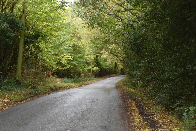
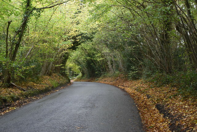
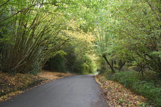
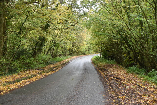
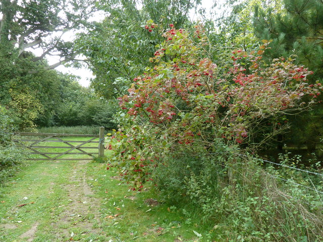
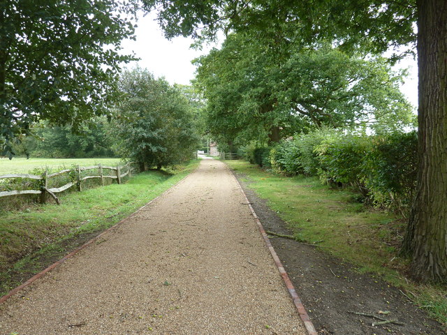
Grantham's Rough, located in Sussex, is a picturesque woodland area that boasts stunning natural beauty and diverse wildlife. Covering an area of approximately 200 hectares, this forest is a haven for nature enthusiasts and those seeking tranquility amidst the bustling city.
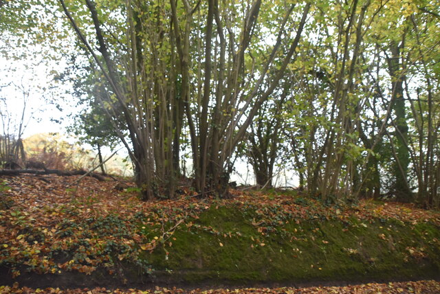
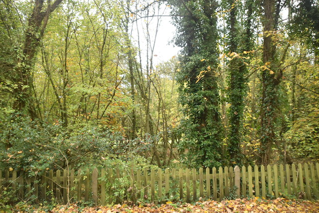
The woodland is characterized by its dense canopy of mature oak, beech, and ash trees, which create a cool and shaded atmosphere even during the hottest summer days. The forest floor is carpeted with a rich layer of fallen leaves, providing a natural habitat for a variety of flora and fauna.
Grantham's Rough is home to a diverse range of wildlife, including several species of birds, mammals, and insects. Birdwatchers can spot woodpeckers, owls, and various songbirds throughout the year. Additionally, the forest is known for its resident deer population, which can often be seen grazing peacefully in the early morning or evening.
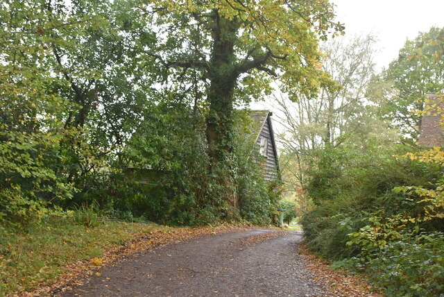
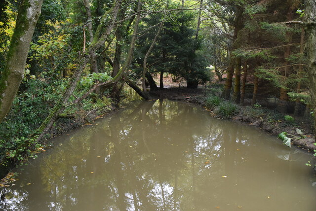
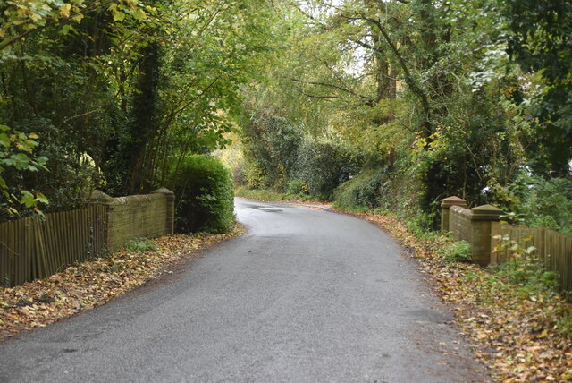
The woodland offers a network of well-maintained walking trails, inviting visitors to explore its beauty at their own pace. These trails wind through the forest, revealing hidden streams, charming meadows, and secluded picnic spots.
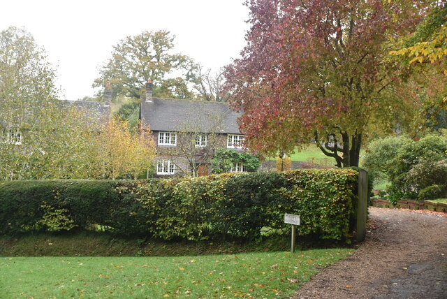
Grantham's Rough is a popular destination for outdoor activities such as hiking, nature photography, and wildlife observation. It also attracts artists and writers looking for inspiration amidst the serene surroundings. With its natural beauty and abundant wildlife, Grantham's Rough is a must-visit destination for nature lovers and those seeking a peaceful retreat in the heart of Sussex.
If you have any feedback on the listing, please let us know in the comments section below.
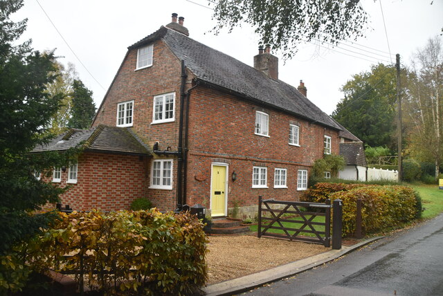
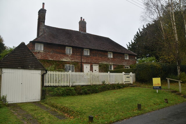
Grantham's Rough Images
Images are sourced within 2km of 50.944193/-0.00310546 or Grid Reference TQ4017. Thanks to Geograph Open Source API. All images are credited.


Grantham's Rough is located at Grid Ref: TQ4017 (Lat: 50.944193, Lng: -0.00310546)
Administrative County: East Sussex
District: Lewes
Police Authority: Sussex
What 3 Words
///quoted.monday.slogged. Near South Chailey, East Sussex
Nearby Locations
Related Wikis

Chailey School
Chailey Secondary School opened in April 1958, is a comprehensive secondary school located in the village of South Chailey, Chailey, just outside Lewes...

Chailey
Chailey is a village and civil parish in the Lewes District of East Sussex, England. It is located 7 miles north of Lewes, on the A272 road from Winchester...

Chailey Moat
Chailey Moat is a Grade II listed building near the village of Chailey, East Sussex. It is a 16th-century moated two storey house with an 18th-century...

Barcombe railway station
Barcombe was a railway station serving the village of Barcombe in East Sussex. It was part of the East Grinstead to Lewes line, part of which now makes...

Barcombe
Barcombe is an East Sussex village and civil parish in the Lewes District of East Sussex. The parish has four settlements: old Barcombe (TQ 418 143), the...

Newick and Chailey railway station
Newick and Chailey was a railway station located in North Chailey and located near the villages of Newick and Chailey in East Sussex, England. It was part...

Zion Chapel, Newick
Zion Chapel is a former Strict Baptist place of worship in the village of Newick in Lewes District, one of six local government districts in the English...

Barcombe Mills
Barcombe Mills is a small settlement and an area of countryside including a local nature reserve near the village of Barcombe Cross in East Sussex, England...
Nearby Amenities
Located within 500m of 50.944193,-0.00310546Have you been to Grantham's Rough?
Leave your review of Grantham's Rough below (or comments, questions and feedback).