Balneath Wood
Wood, Forest in Sussex Lewes
England
Balneath Wood
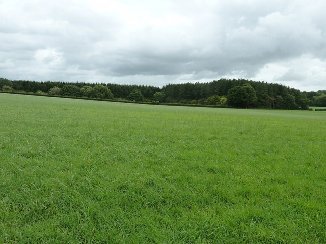
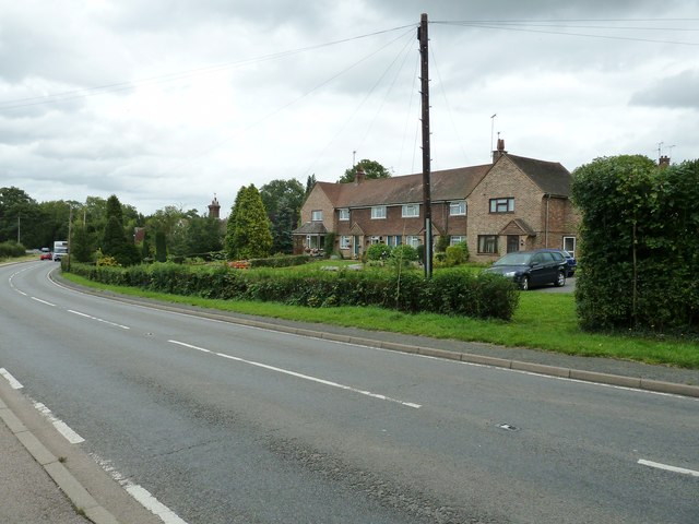
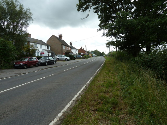
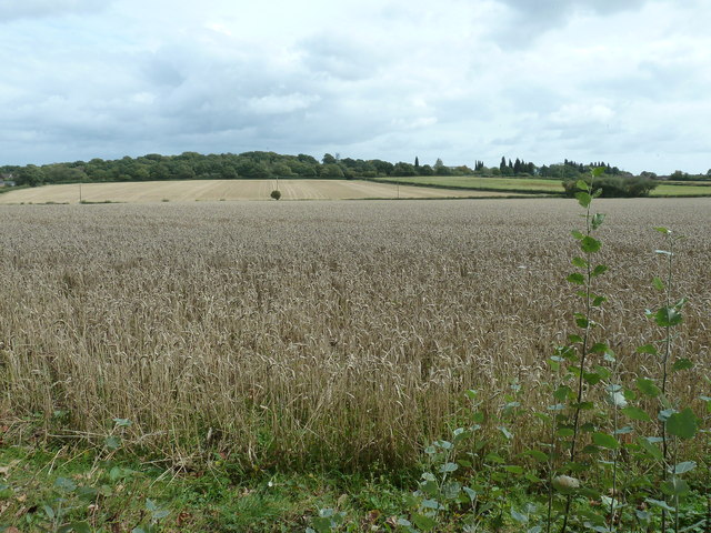
Balneath Wood is a picturesque forest located in the county of Sussex, England. Covering an area of approximately 100 hectares, the wood is nestled within the rolling hills and lush landscapes of the South Downs National Park. It is a popular destination for nature enthusiasts, hikers, and those seeking tranquility amidst nature's beauty.
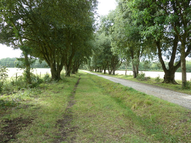
The woodland predominantly consists of a mix of deciduous and coniferous trees, including oak, beech, birch, and pine. This diverse range of tree species creates a rich and varied habitat, providing a home for an array of wildlife, including deer, foxes, badgers, and numerous bird species. The forest floor is adorned with a carpet of wildflowers during the spring and summer months, adding bursts of color to the surroundings.
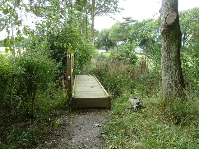
Traversing through Balneath Wood, visitors can explore a network of well-maintained walking trails that wind their way through the forest. These paths offer stunning views of the surrounding countryside, making it a popular spot for photographers and nature lovers alike. The wood also features a small stream that meanders through its heart, adding to its charm and tranquility.
In addition to its natural beauty, Balneath Wood also has historical significance. It is believed to have been an ancient woodland for centuries, with remnants of prehistoric settlements and burial mounds discovered in the area. These archaeological sites provide a glimpse into the region's past and add an extra layer of intrigue to the wood's allure.
Overall, Balneath Wood in Sussex offers visitors a chance to escape the hustle and bustle of modern life and immerse themselves in the serene beauty of nature.
If you have any feedback on the listing, please let us know in the comments section below.
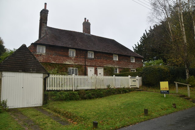
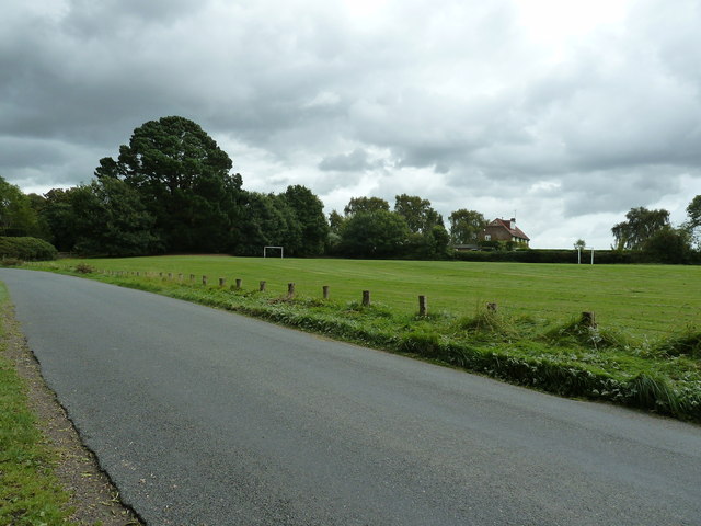
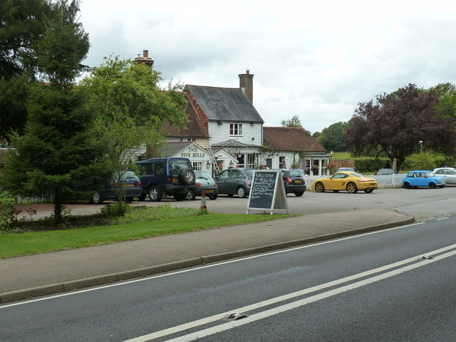
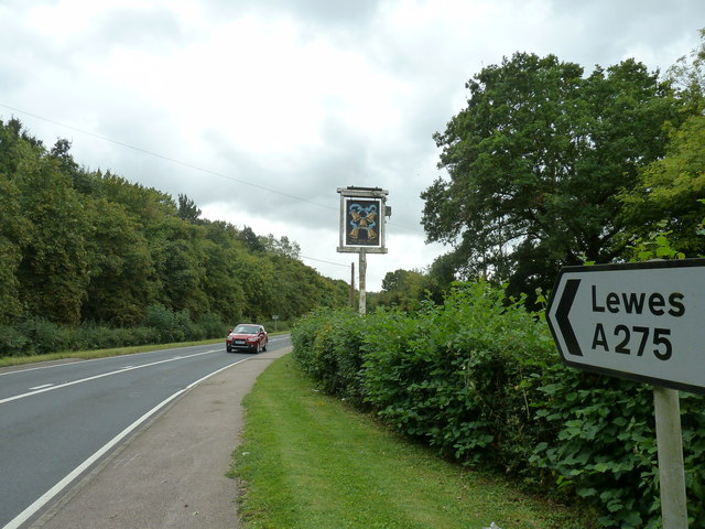
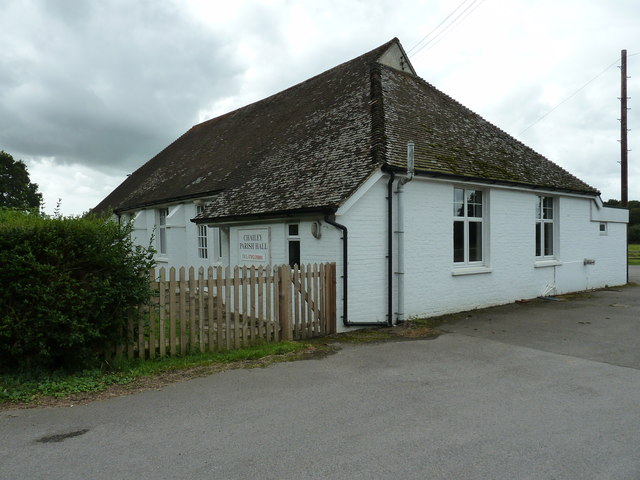
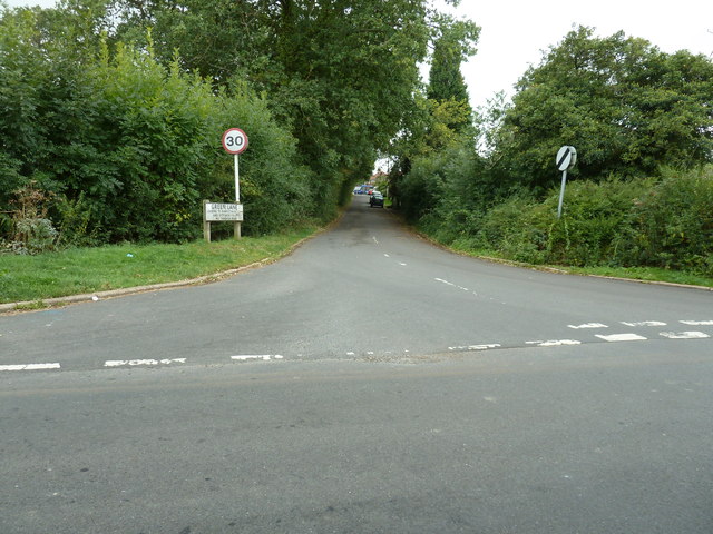
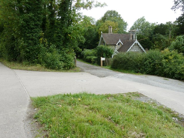
Balneath Wood Images
Images are sourced within 2km of 50.940818/-0.001883578 or Grid Reference TQ4017. Thanks to Geograph Open Source API. All images are credited.


Balneath Wood is located at Grid Ref: TQ4017 (Lat: 50.940818, Lng: -0.001883578)
Administrative County: East Sussex
District: Lewes
Police Authority: Sussex
What 3 Words
///mixture.vets.thighs. Near South Chailey, East Sussex
Nearby Locations
Related Wikis

Chailey School
Chailey Secondary School opened in April 1958, is a comprehensive secondary school located in the village of South Chailey, Chailey, just outside Lewes...

Chailey
Chailey is a village and civil parish in the Lewes District of East Sussex, England. It is located 7 miles north of Lewes, on the A272 road from Winchester...

Barcombe railway station
Barcombe was a railway station serving the village of Barcombe in East Sussex. It was part of the East Grinstead to Lewes line, part of which now makes...

Barcombe
Barcombe is an East Sussex village and civil parish in the Lewes District of East Sussex. The parish has four settlements: old Barcombe (TQ 418 143), the...

Chailey Moat
Chailey Moat is a Grade II listed building near the village of Chailey, East Sussex. It is a 16th-century moated two storey house with an 18th-century...

Barcombe Mills
Barcombe Mills is a small settlement and an area of countryside including a local nature reserve near the village of Barcombe Cross in East Sussex, England...

Newick and Chailey railway station
Newick and Chailey was a railway station located in North Chailey and located near the villages of Newick and Chailey in East Sussex, England. It was part...

Barcombe Mills railway station
Barcombe Mills is a disused railway station in the hamlet of Barcombe Mills, on the closed section of the Wealden Line. The station was opened in 1858...
Nearby Amenities
Located within 500m of 50.940818,-0.001883578Have you been to Balneath Wood?
Leave your review of Balneath Wood below (or comments, questions and feedback).