Home Wood

Wood, Forest in Kent

England

Home Wood

Beddlestead House (former Beddlestead Farm), Chelsham, CR6 A grade II* listed building. The nearby barn is also listed.
Beddlestead House (former Beddlestead Farm), Chelsham, CR6 Credit: Philip Talmage

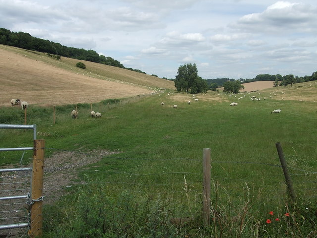
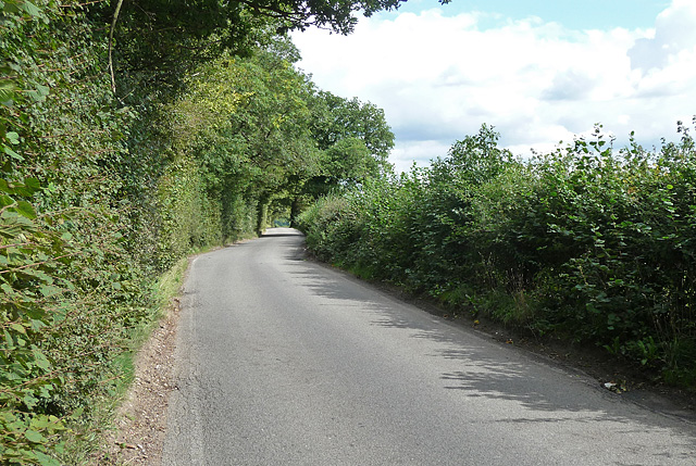
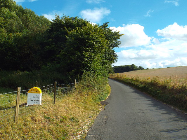
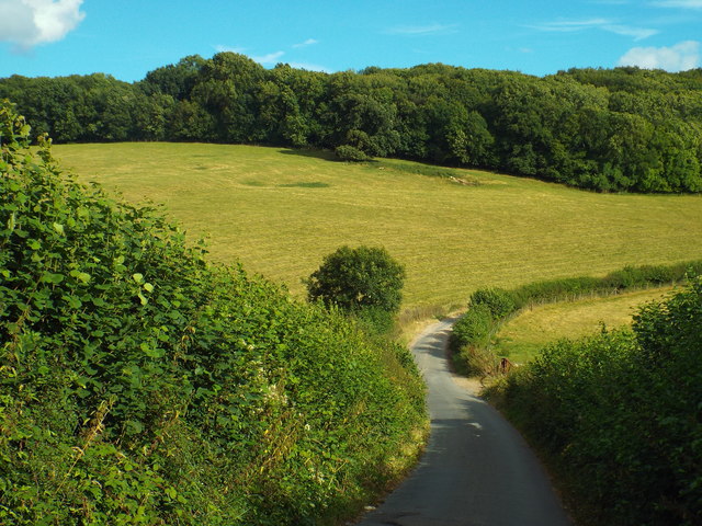
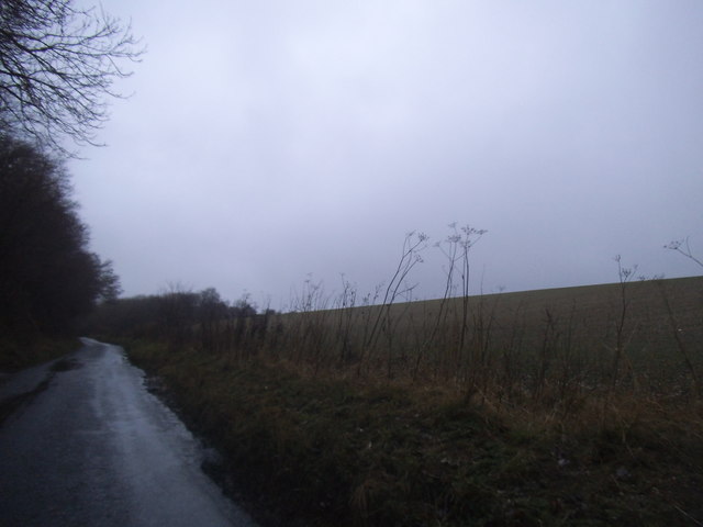
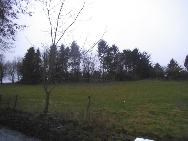
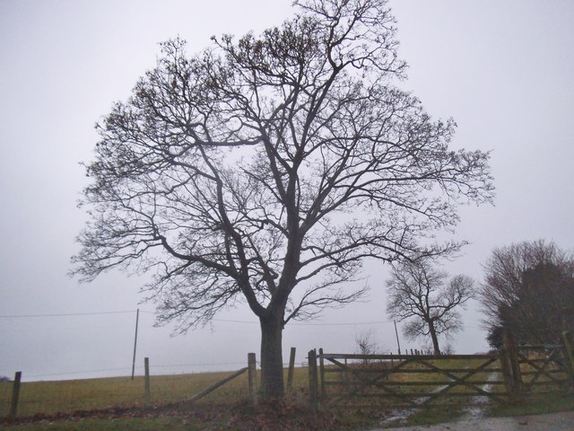
Home Wood, located in Kent, England, is a beautiful forested area that covers an approximate area of 200 hectares. This natural woodland is known for its diverse range of flora and fauna, making it a popular destination for nature enthusiasts and hikers alike.

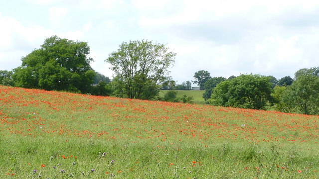
The wood is predominantly composed of broadleaf trees such as oak, beech, and birch, creating a stunning canopy that provides shade and shelter for various species of wildlife. The forest floor is adorned with a rich carpet of bluebells, wildflowers, and ferns, adding to the wood's charm and natural beauty.

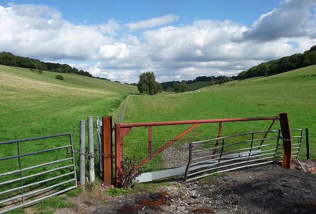
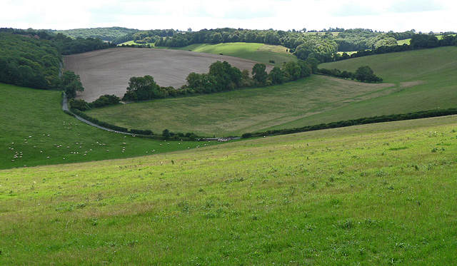
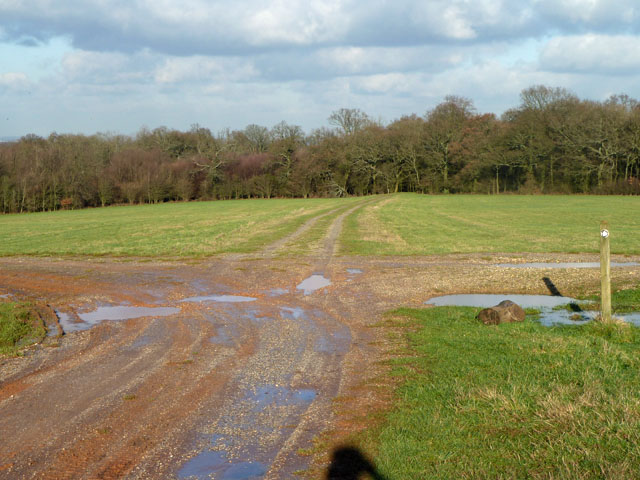
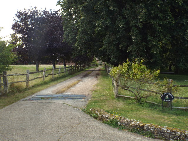
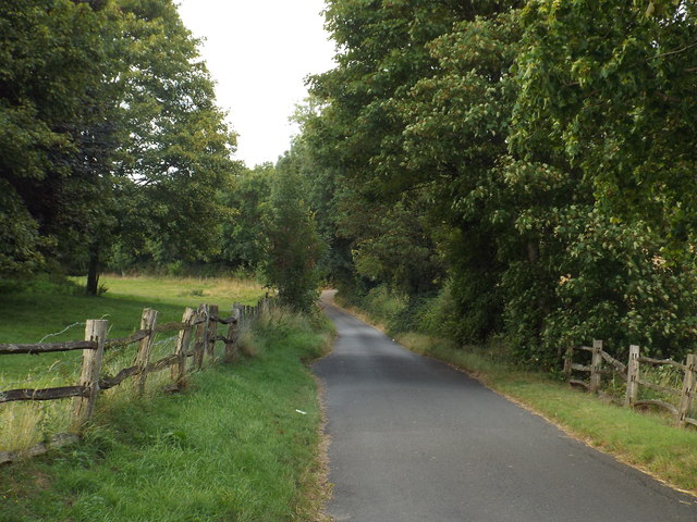
Home Wood offers a variety of walking trails and paths, allowing visitors to explore its hidden gems. The well-maintained trails are suitable for all levels of fitness and offer breathtaking views of the surrounding countryside. The wood also features picnic areas and benches, providing a tranquil spot for visitors to relax and enjoy the peaceful ambience.

The forest is home to a diverse range of wildlife, including deer, foxes, badgers, and a variety of bird species. Birdwatchers can spot woodpeckers, owls, and various songbirds while exploring the wood.

Home Wood is managed by the local authorities to ensure its preservation and conservation. It serves as an important habitat for protected species and plays a crucial role in maintaining the ecological balance of the area.

Overall, Home Wood in Kent offers a serene and picturesque escape from the bustling city life, providing visitors with an opportunity to reconnect with nature and enjoy the beauty of a well-preserved woodland.

If you have any feedback on the listing, please let us know in the comments section below.
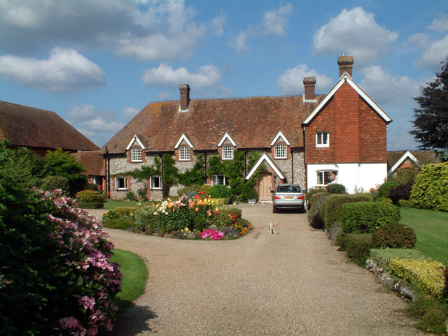
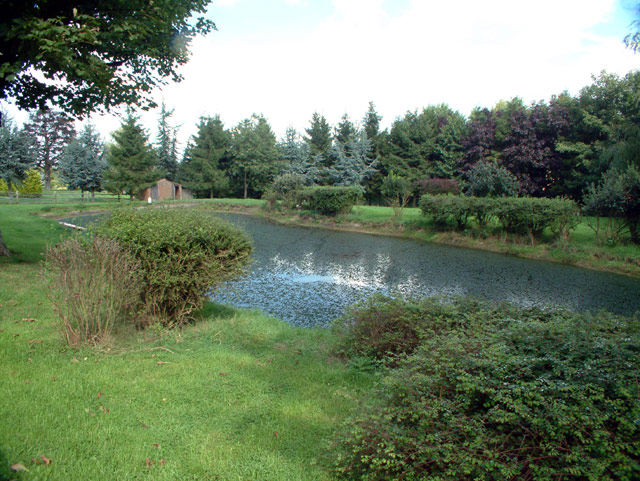
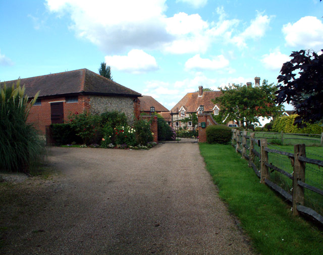
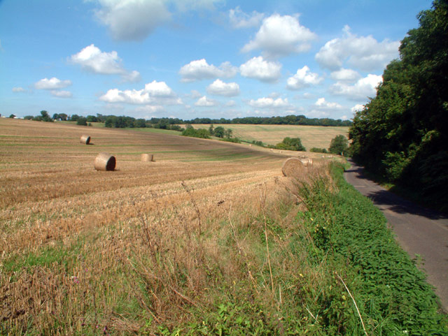
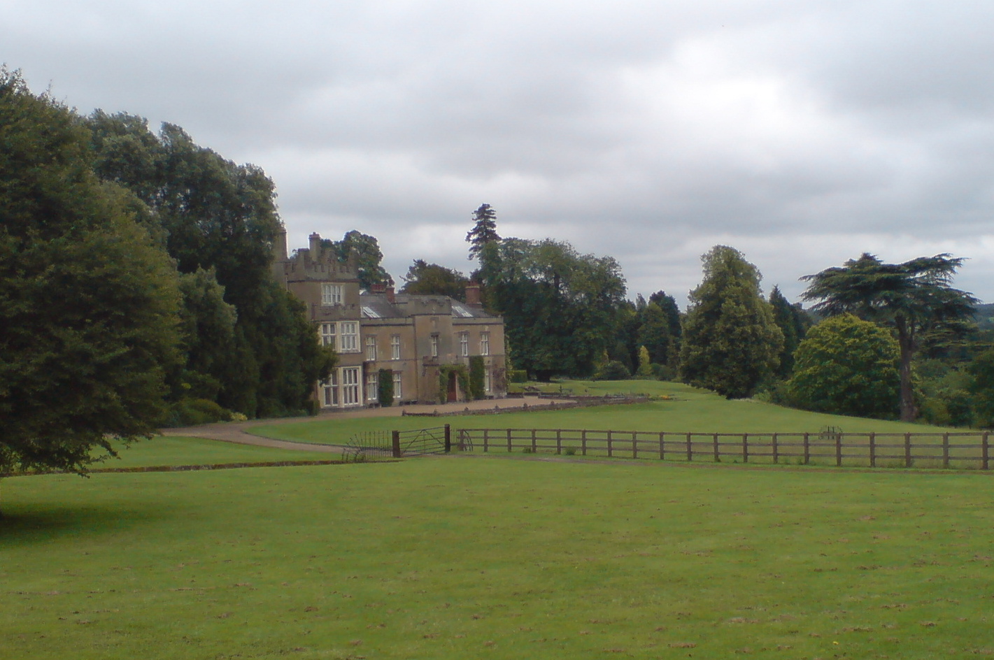
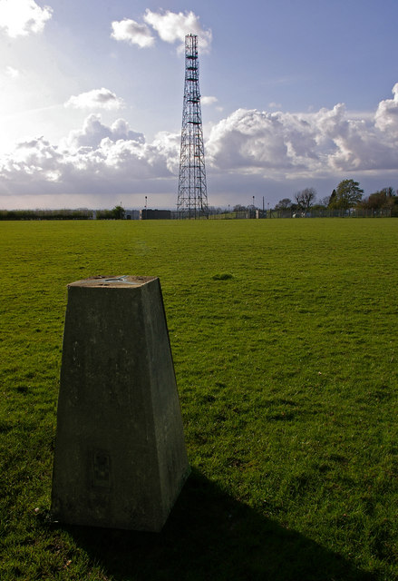
Home Wood Images

Images are sourced within 2km of 51.301827/0.020411316 or Grid Reference TQ4057. Thanks to Geograph Open Source API. All images are credited.

Beddlestead House (former Beddlestead Farm), Chelsham, CR6 A grade II* listed building. The nearby barn is also listed.
Beddlestead House (former Beddlestead Farm), Chelsham, CR6
A grade II* listed building. The nearby barn is also listed.
Pond at Beddlestead House, Beddlestead Lane, Chelsham CR6
Barn at Beddlestead House, Chelsham, CR6 The barn (on the left) is grade II listed, and the house is grade II*.
Barn at Beddlestead House, Chelsham, CR6
The barn (on the left) is grade II listed, and the house is grade II*.
Beddlestead Lane, Chelsham, CR6 Looking north.
Beddlestead Lane, Chelsham, CR6
Looking north.
Sheep at Beddlestead
Poppy-covered Landscape Near Chelsham
Aeroplane near Chelsham I didn't realise there was an air show at Biggin Hill until I saw all the exotic planes in the, er, air.
I can't say with any certainty where this plane was at the precise time I took the photo, all I know is that I was in TQ3858, and it was in the sky.
Aeroplane near Chelsham
I didn't realise there was an air show at Biggin Hill until I saw all the exotic planes in the, er, air. I can't say with any certainty where this plane was at the precise time I took the photo, all I know is that I was in TQ3858, and it was in the sky.
Fields near Fickleshole Clear evidence of a fire by the gate. Perhaps joyriders had stolen a car and then set fire to it. Or the sheep were chilly one night, lit a fire ... one can guess the rest.
Fields near Fickleshole
Clear evidence of a fire by the gate. Perhaps joyriders had stolen a car and then set fire to it. Or the sheep were chilly one night, lit a fire ... one can guess the rest.
Farmland near Biggin Hill The road below leads ultimately to Limpsfield and Oxted.
Farmland near Biggin Hill
The road below leads ultimately to Limpsfield and Oxted.
Hesiers Road, Fickleshole
Farm track crossways near Lumberdine Wood A public footpath goes straight on through the woods to Beddlestead Farm.
Farm track crossways near Lumberdine Wood
A public footpath goes straight on through the woods to Beddlestead Farm.
Driveway near Biggin Hill This private driveway leads to Beddlestead House, on the North Downs.
Driveway near Biggin Hill
This private driveway leads to Beddlestead House, on the North Downs.
Beddlestead Lane, near Biggin Hill Beddlestead Lane, high up on the North Downs.
Beddlestead Lane, near Biggin Hill
Beddlestead Lane, high up on the North Downs.
"Col du Skelly" marker post, Beddlestead Lane, near Biggin Hill The marker post to the left of the road commemorates a keen cyclist who died in 2016.  Beddlestead Lane, a quiet country lane in the North Downs had been one of his favourite climbs when cycling.  The post is in the style of a French mountain milepost.  As a privately-arranged memorial it is sited on private land, with permission of the land owner, rather than on the public right of way.
"Col du Skelly" marker post, Beddlestead Lane, near Biggin Hill
The marker post to the left of the road commemorates a keen cyclist who died in 2016. Beddlestead Lane, a quiet country lane in the North Downs had been one of his favourite climbs when cycling. The post is in the style of a French mountain milepost. As a privately-arranged memorial it is sited on private land, with permission of the land owner, rather than on the public right of way.
Hesiers Hill, near Warlingham Hesiers Hill is a narrow (and steep) country lane on the North Downs, near Warlingham.
Hesiers Hill, near Warlingham
Hesiers Hill is a narrow (and steep) country lane on the North Downs, near Warlingham.
Field by Beddlestead Road near Biggin Hill
Copse by Beddlestead Lane, near Biggin Hill
Tree on Beddlestead Lane, Biggin Hill
Show me another place!

Home Wood is located at Grid Ref: TQ4057 (Lat: 51.301827, Lng: 0.020411316)

Unitary Authority: Bromley

Police Authority: Metropolitan

What 3 Words

///woes.squad.priced. Near Biggin Hill, London

Related Wikis

Tatsfield

Tatsfield is a village and civil parish in the Tandridge District of Surrey, England. It is located 3.3 miles north west of Westerham and 3.9 miles north...

Tatsfield Receiving Station

The Tatsfield Receiving Station – known formally as the BBC Engineering Measurement and Receiving Station – was a radio broadcasting signals-receiving...

Biggin Hill

Biggin Hill is a town in South East London, England, within the London Borough of Bromley. It is situated beyond London's contiguous built-up area in the...

Aperfield

Aperfield is a hamlet and area in London, England, within the London Borough of Bromley, 16.2 miles (26 km) south-southeast of Charing Cross, and outside...

South Street, Bromley

South Street is a hamlet in the far south of the London Borough of Bromley, 16.5 miles (27 km) south south-east from Charing Cross. It is the highest settlement...

Charles Darwin School

Charles Darwin School is the only secondary school in the Biggin Hill area of the London Borough of Bromley, England. The school consists of 1,320 secondary...

Titsey

Titsey is a rural village and a civil parish on the North Downs almost wholly within the M25 London Orbital Motorway in the Tandridge District of Surrey...

Botley Hill

Botley Hill is a hill in Surrey and is the highest point of the North Downs, with a height of 269.6 metres (885 ft). The Prime Meridian crosses the hill...

Nearby Amenities

Located within 500m of 51.301827,0.020411316
Left County: Surrey
Right County: Greater London
Lat/Long: 51.299302/0.0232417
Ref GB Tflcid: RWG203080
Traffic Calming: hump
Lat/Long: 51.3025958/0.0183375
Sonnet Walk
Naptan AtcoCode: 490012234S1
Naptan Bearing: N
Naptan CommonName: Melody Road Sonnet Walk
Naptan Street: MELODY ROAD
Naptan Verified: no
Lat/Long: 51.3054632/0.022074
Alexandra Court
Naptan AtcoCode: 490014572Z
Naptan Bearing: N
Naptan CommonName: Sonnet Walk
Naptan Street: KINGS ROAD
Naptan Verified: no
Lat/Long: 51.3048948/0.0202573
Barrier: stile
Lat/Long: 51.3003036/0.0192674
Barrier: stile
Lat/Long: 51.2984025/0.0224091
Barrier: stile
Lat/Long: 51.2985032/0.0224148
Barrier: stile
Lat/Long: 51.3013752/0.0185537
Barrier: stile
Lat/Long: 51.2993926/0.0201944
Bus Stop
East Hill
Naptan AtcoCode: 490023099Z
Network: London Buses
Operator: Transport for London
Public Transport: platform
Lat/Long: 51.3041884/0.0206552
Ref GB Tflcid: RWG203081
Traffic Calming: hump
Lat/Long: 51.3030291/0.0188944
Ref GB Tflcid: RWG203083
Traffic Calming: hump
Lat/Long: 51.3038328/0.0199229
Ref GB Tflcid: RWG203082
Traffic Calming: hump
Lat/Long: 51.3034145/0.0193897
Ref GB Tflcid: RWG203084
Traffic Calming: hump
Lat/Long: 51.304141/0.020312
Post Box
Collection Times: Mo-Fr 09:00; Sa 07:00; Su off
Colour: red
Ref: TN16 126
Royal Cypher: EIIR
Royal Cypher Wikidata: Q33102113
Lat/Long: 51.3049973/0.0205304
The data included in this document is from www.openstreetmap.org. The data is made available under ODbL.

Have you been to Home Wood?

Leave your review of Home Wood below (or comments, questions and feedback).