Broomfieldbank Shaw
Wood, Forest in Kent
England
Broomfieldbank Shaw

Broomfieldbank Shaw is a small woodland area located in the county of Kent, specifically in the village of Wood, in the district of Forest. This woodland is nestled within the picturesque countryside of Kent, known for its lush greenery, rolling hills, and idyllic landscapes.
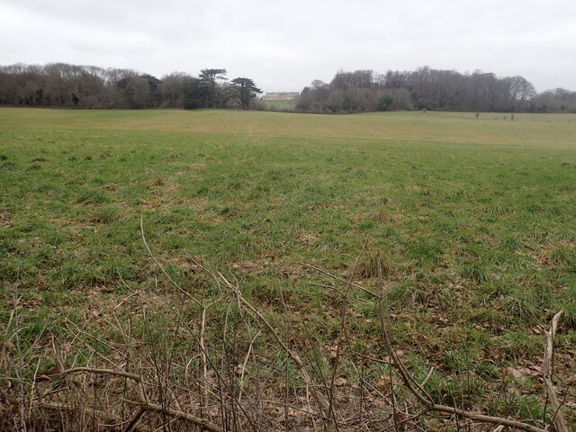
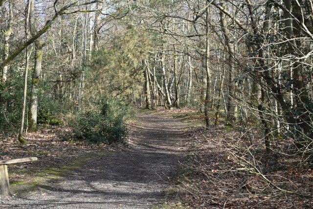
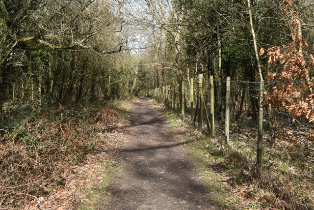
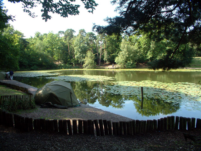
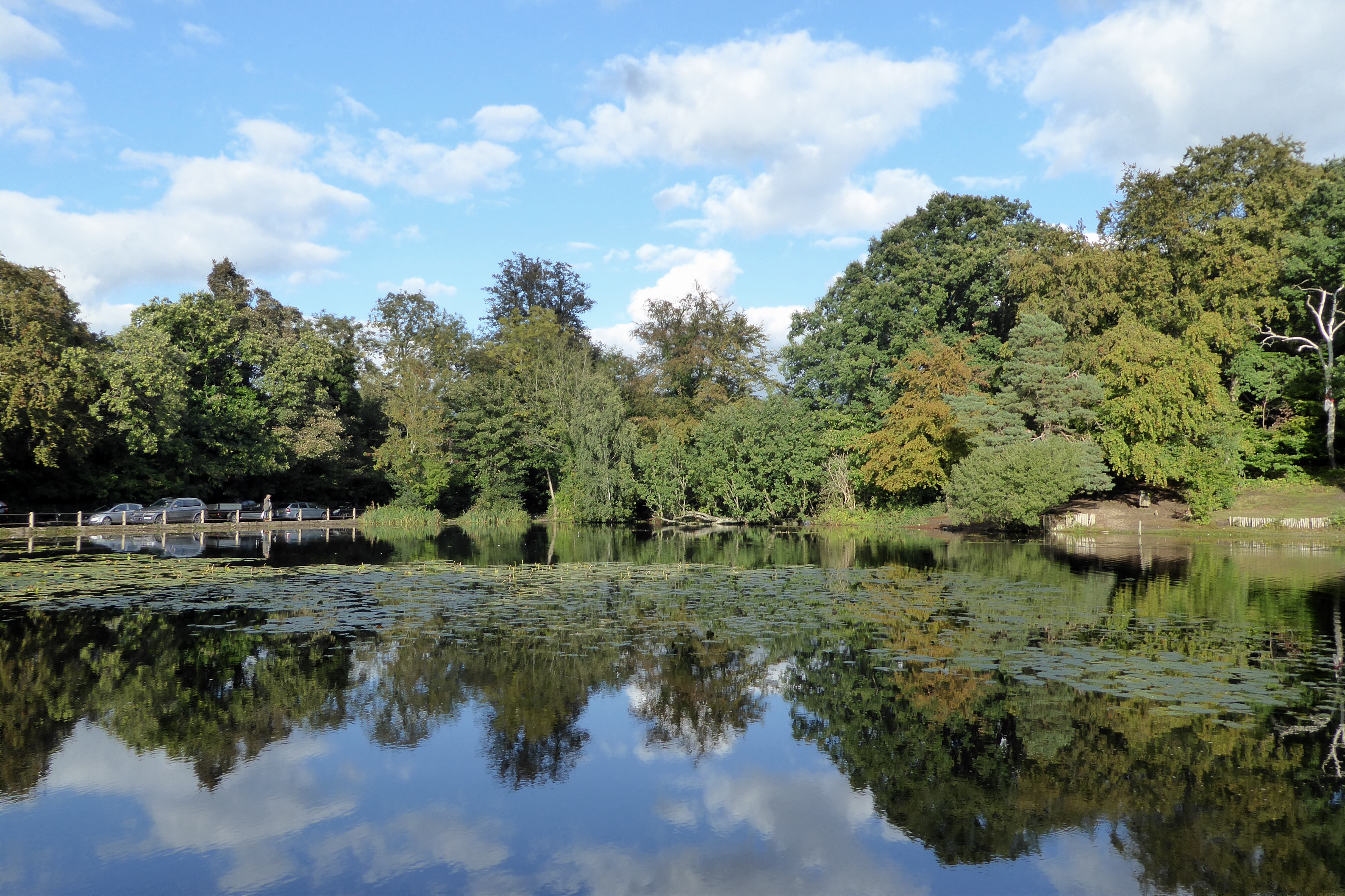
Broomfieldbank Shaw covers an approximate area of 20 acres and is primarily composed of a mix of deciduous and coniferous trees. The woodland boasts a diverse range of tree species, including oak, ash, beech, pine, and birch, creating a rich and varied ecosystem. These trees provide a habitat for various wildlife species, such as birds, squirrels, and deer.
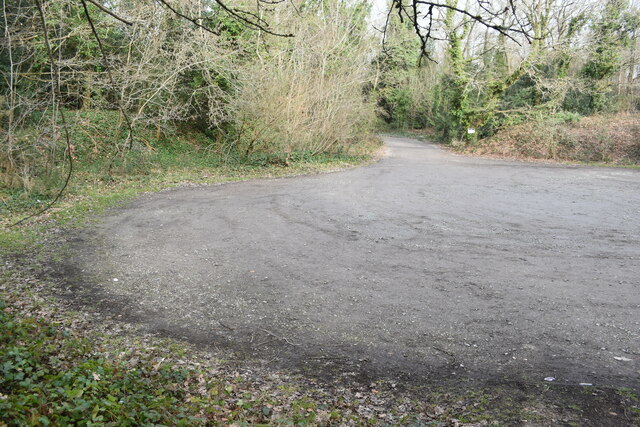
The woodland is a popular destination for nature lovers and outdoor enthusiasts who enjoy walking, hiking, and exploring the natural beauty of the area. There are several well-maintained trails and paths that wind through the woodland, allowing visitors to immerse themselves in the tranquility of nature. The peaceful atmosphere and the abundance of flora and fauna make Broomfieldbank Shaw an ideal spot for birdwatching and wildlife observation.
In addition to its natural beauty, Broomfieldbank Shaw also holds historical significance. The woodland is believed to have ancient origins and may have been used by local communities for various purposes throughout history. It is not uncommon to find remnants of old structures or artifacts while exploring the area.
Overall, Broomfieldbank Shaw in Kent offers a serene and enchanting woodland experience, enticing visitors with its natural beauty, diverse wildlife, and a touch of historical intrigue.
If you have any feedback on the listing, please let us know in the comments section below.
Broomfieldbank Shaw Images
Images are sourced within 2km of 51.350101/0.014664355 or Grid Reference TQ4063. Thanks to Geograph Open Source API. All images are credited.


Broomfieldbank Shaw is located at Grid Ref: TQ4063 (Lat: 51.350101, Lng: 0.014664355)
Unitary Authority: Bromley
Police Authority: Metropolitan
What 3 Words
///hotels.also.invent. Near West Wickham, London
Nearby Locations
Related Wikis
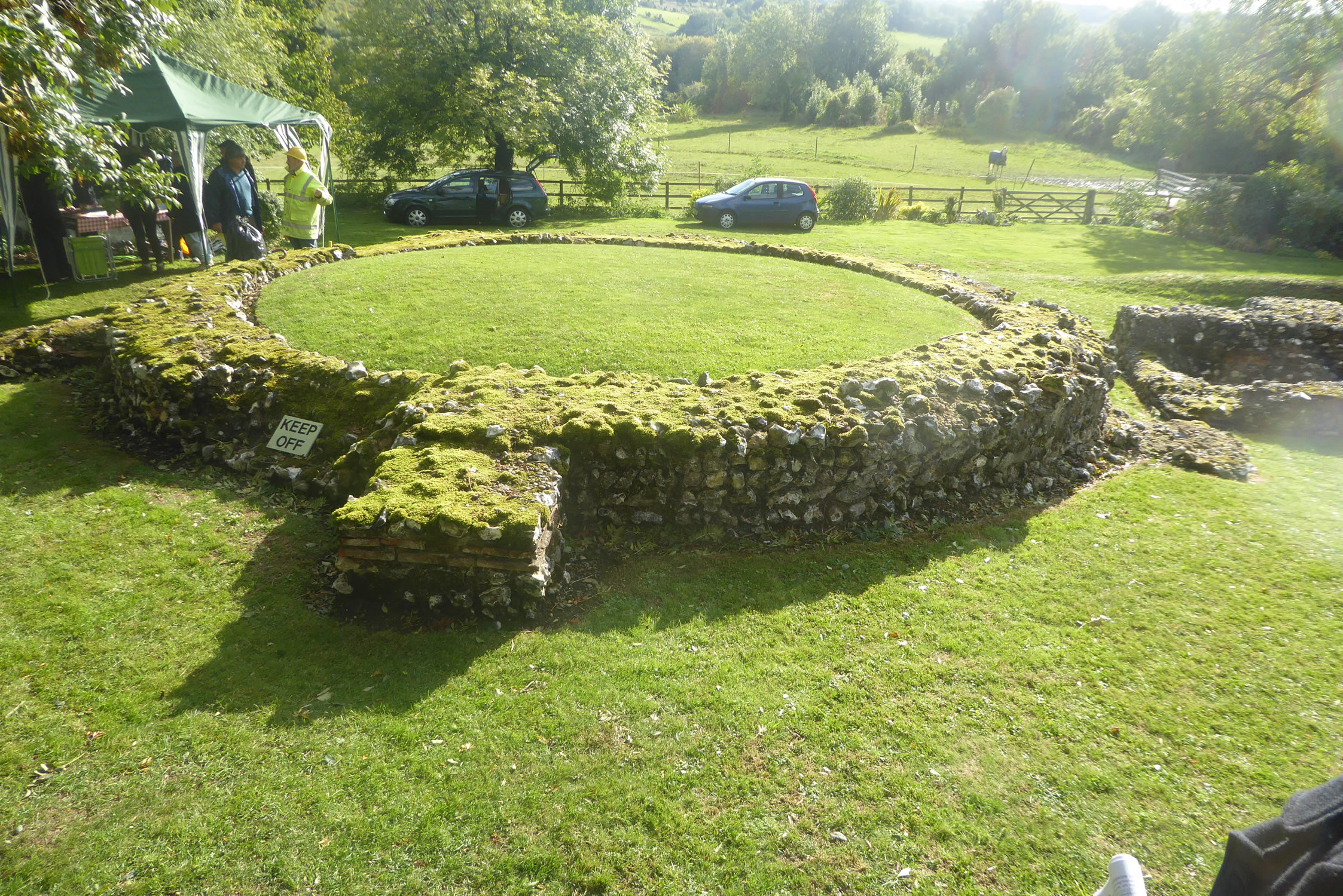
Keston Roman villa
The Keston Roman villa is an archaeological site in Keston in the London Borough of Bromley, England. The villa consisted of several buildings including...

Keston Windmill
Keston Windmill is a grade I listed Post mill in Keston, formerly in Kent and now in the London Borough of Bromley. The mill was built in 1716 and is...
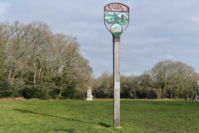
Keston
Keston is a village in Greater London, England, located within the London Borough of Bromley, Greater London. Prior to 1965 it was within the historic...
Keston Common
Keston Common is a 55 hectare area of public open space in Keston in the London Borough of Bromley. Most of it is heathland and dry acid grassland on the...
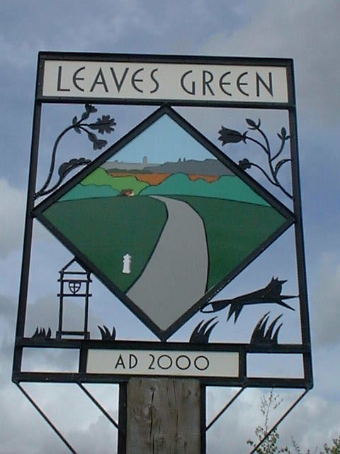
Leaves Green
Leaves Green is a village in Greater London within the London Borough of Bromley. The village lies on the Bromley to Westerham road (A233), adjacent to...

Addington Vale
Addington Vale is a 48 acres (19 ha) park situated in New Addington in the London Borough of Croydon. The park extends from King Henrys Drive in the north...

Kings Arms, Leaves Green
The Kings Arms, Leaves Green is a pub in Leaves Green Road, Leaves Green, Keston, Bromley, London. It is a Grade II listed building, dating back to the...

Holwood House
Holwood House is a 25,060-square-foot (2,328 m2) country house in Keston, near Hayes, in the London Borough of Bromley, England. The house was designed...
Nearby Amenities
Located within 500m of 51.350101,0.014664355Have you been to Broomfieldbank Shaw?
Leave your review of Broomfieldbank Shaw below (or comments, questions and feedback).