James's Wood
Wood, Forest in Kent
England
James's Wood

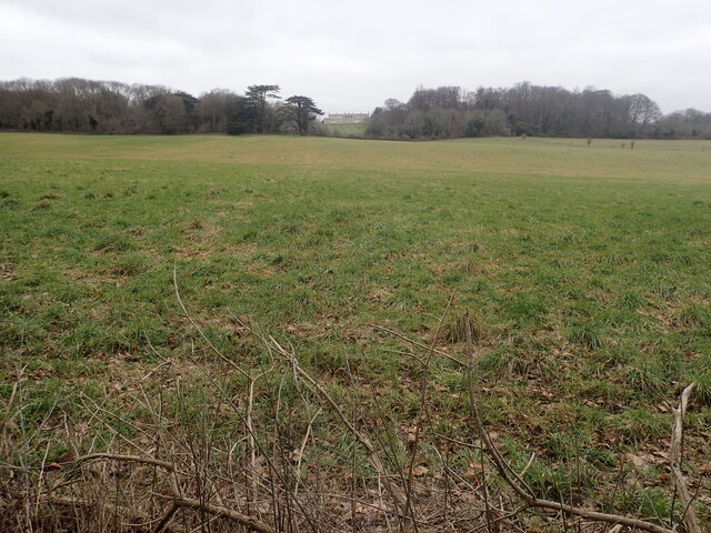
James's Wood, also known as Wood, Forest, is a picturesque woodland located in the county of Kent, England. Spanning approximately 100 acres, this enchanting forest offers a peaceful retreat for nature enthusiasts and visitors seeking tranquility.
The wood is named after James, a local landowner who generously donated the land for public access. It is situated near the village of Kenthurst, nestled between rolling hills and meandering streams. The wood boasts a diverse range of tree species, including oak, beech, and ash, creating a rich and vibrant ecosystem.
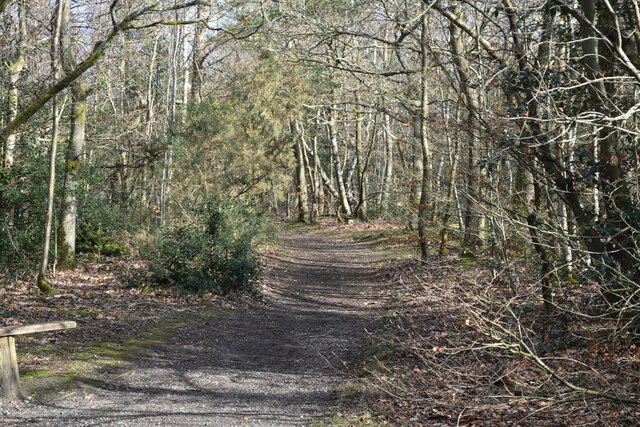
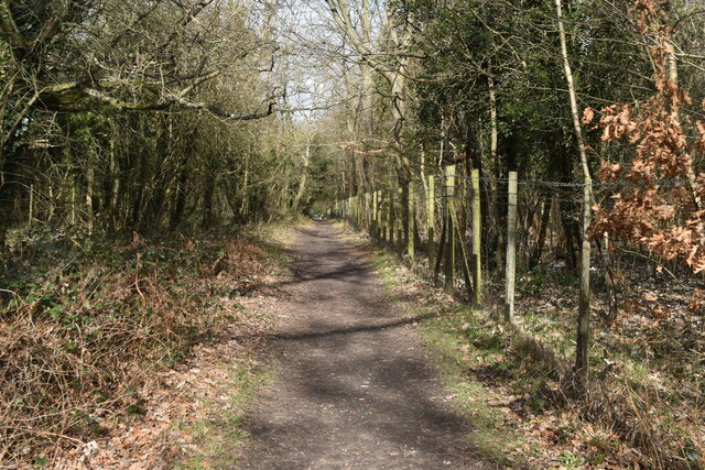
Walking through James's Wood is like stepping into a fairytale. The forest floor is carpeted with moss and ferns, and wildflowers bloom in abundance during the spring and summer months. The air is filled with the sweet scent of pine and the melodious songs of various bird species, making it a haven for birdwatchers and nature photographers.
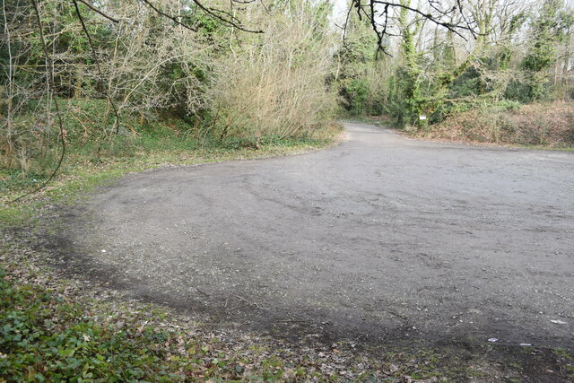
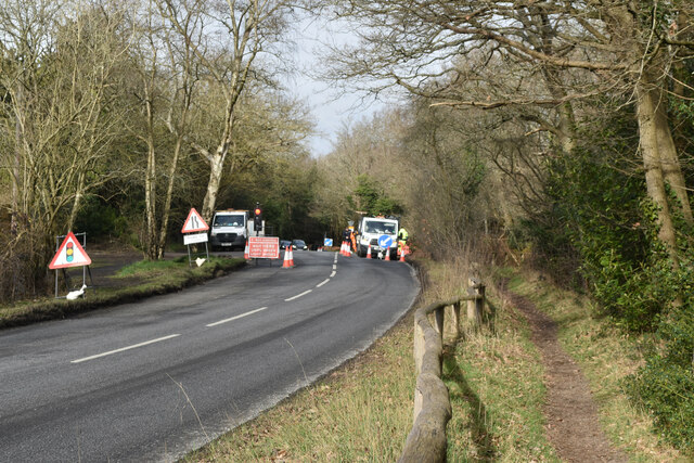
Numerous walking trails crisscross the wood, allowing visitors to explore its hidden gems. These trails lead to stunning viewpoints, where one can admire the breathtaking vistas of the surrounding countryside. Additionally, benches and picnic areas are scattered throughout the wood, providing a perfect spot for a leisurely picnic or a moment of quiet contemplation.
James's Wood is not only a haven for wildlife and natural beauty, but it also plays a vital role in preserving the local ecosystem. Conservation efforts have been implemented to protect rare plant species, and visitors are encouraged to respect the environment and follow designated paths.
Whether you are seeking solitude, a connection with nature, or an opportunity to explore Kent's natural wonders, James's Wood is a must-visit destination that promises to enchant and rejuvenate all who venture within its leafy embrace.
If you have any feedback on the listing, please let us know in the comments section below.
James's Wood Images
Images are sourced within 2km of 51.353705/0.017924692 or Grid Reference TQ4063. Thanks to Geograph Open Source API. All images are credited.


James's Wood is located at Grid Ref: TQ4063 (Lat: 51.353705, Lng: 0.017924692)
Unitary Authority: Bromley
Police Authority: Metropolitan
What 3 Words
///weep.allows.rides. Near West Wickham, London
Nearby Locations
Related Wikis
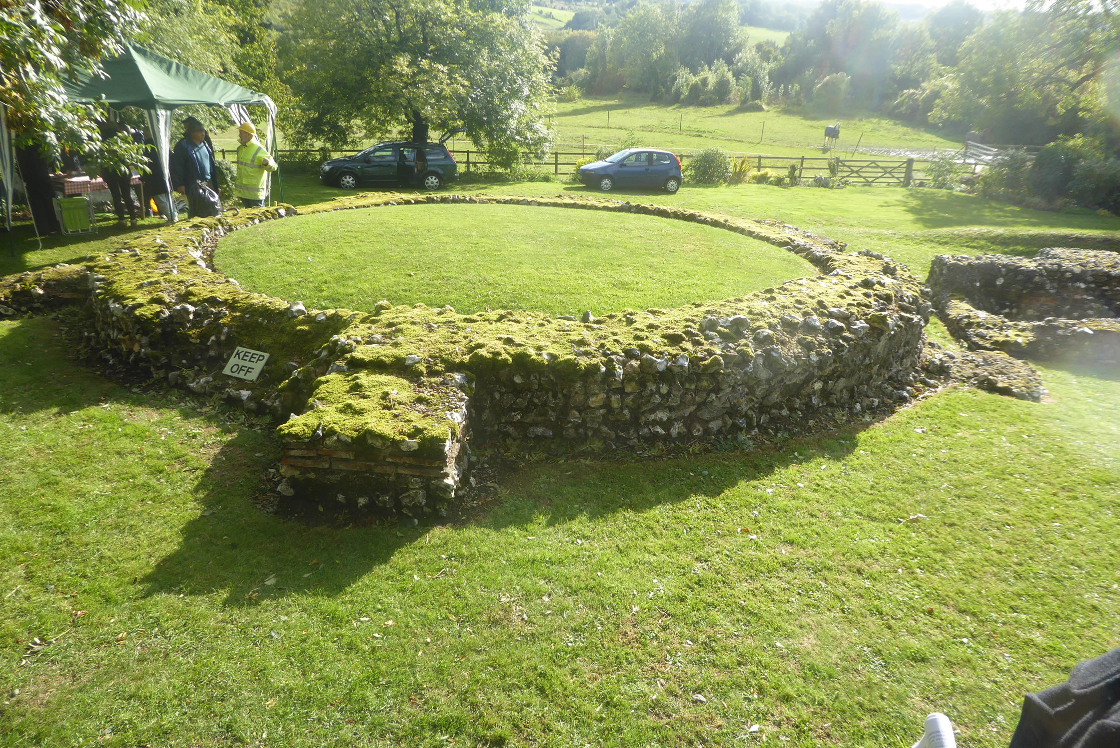
Keston Roman villa
The Keston Roman villa is an archaeological site in Keston in the London Borough of Bromley, England. The villa consisted of several buildings including...

Keston Windmill
Keston Windmill is a grade I listed Post mill in Keston, formerly in Kent and now in the London Borough of Bromley. The mill was built in 1716 and is...
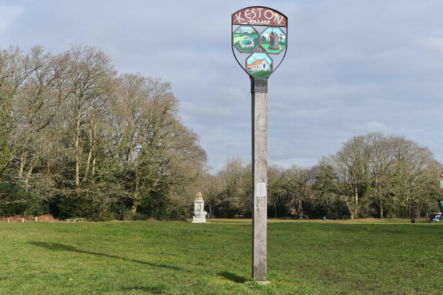
Keston
Keston is a village in Greater London, England, located within the London Borough of Bromley, Greater London. Prior to 1965 it was within the historic...
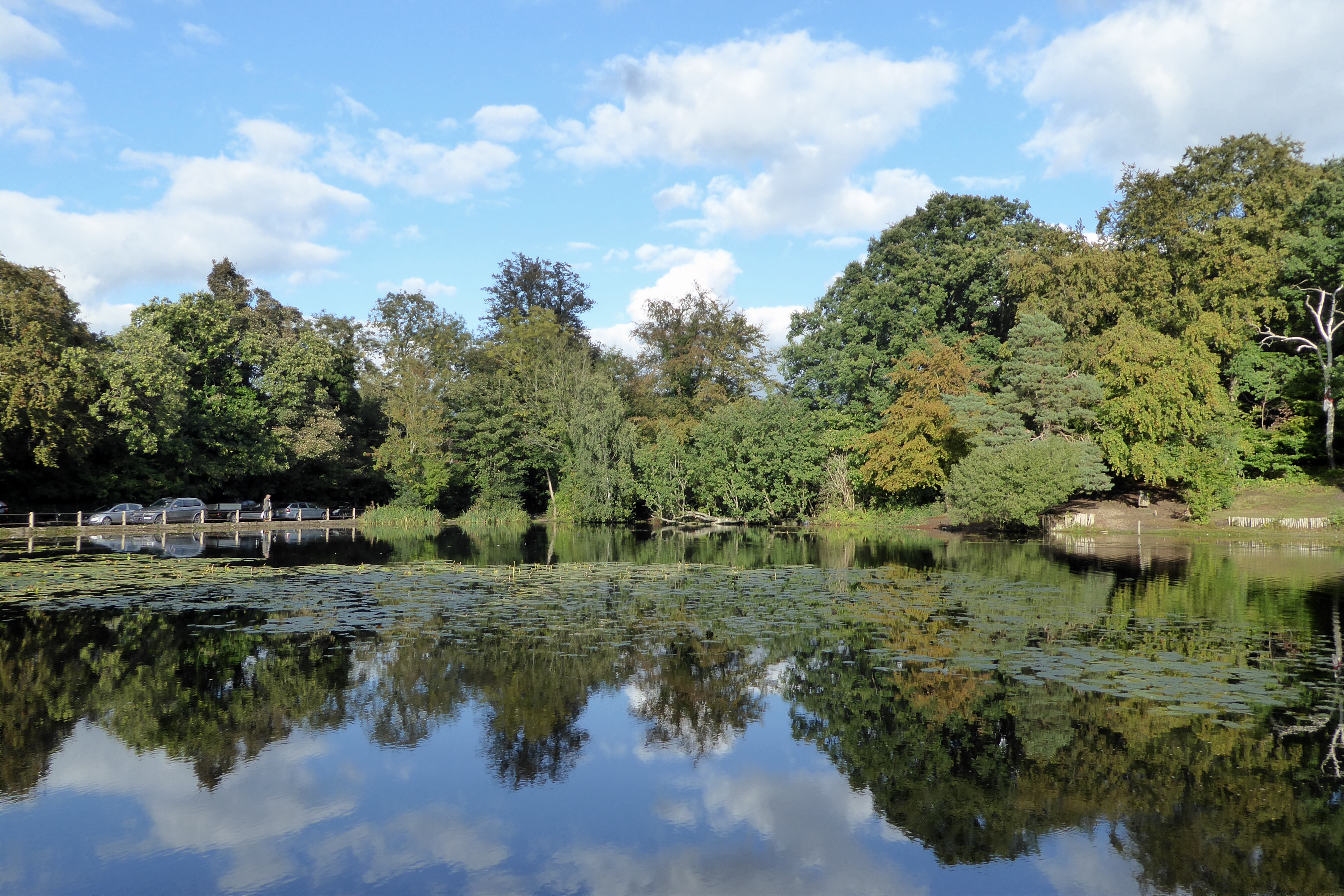
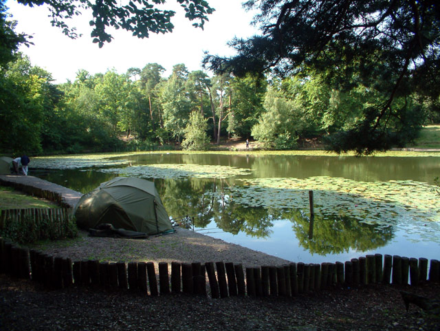
Keston Common
Keston Common is a 55 hectare area of public open space in Keston in the London Borough of Bromley. Most of it is heathland and dry acid grassland on the...

Hayes Common
Hayes Common is a 79-Hectare (195 acre) area of public open land in Hayes in the London Borough of Bromley. It is owned and managed by Bromley Council...

Holwood House
Holwood House is a 25,060-square-foot (2,328 m2) country house in Keston, near Hayes, in the London Borough of Bromley, England. The house was designed...

The Warren
The Warren, originally known as Warren House, is a Grade II listed building located in the parish of West Wickham and the postal district of Hayes, Greater...
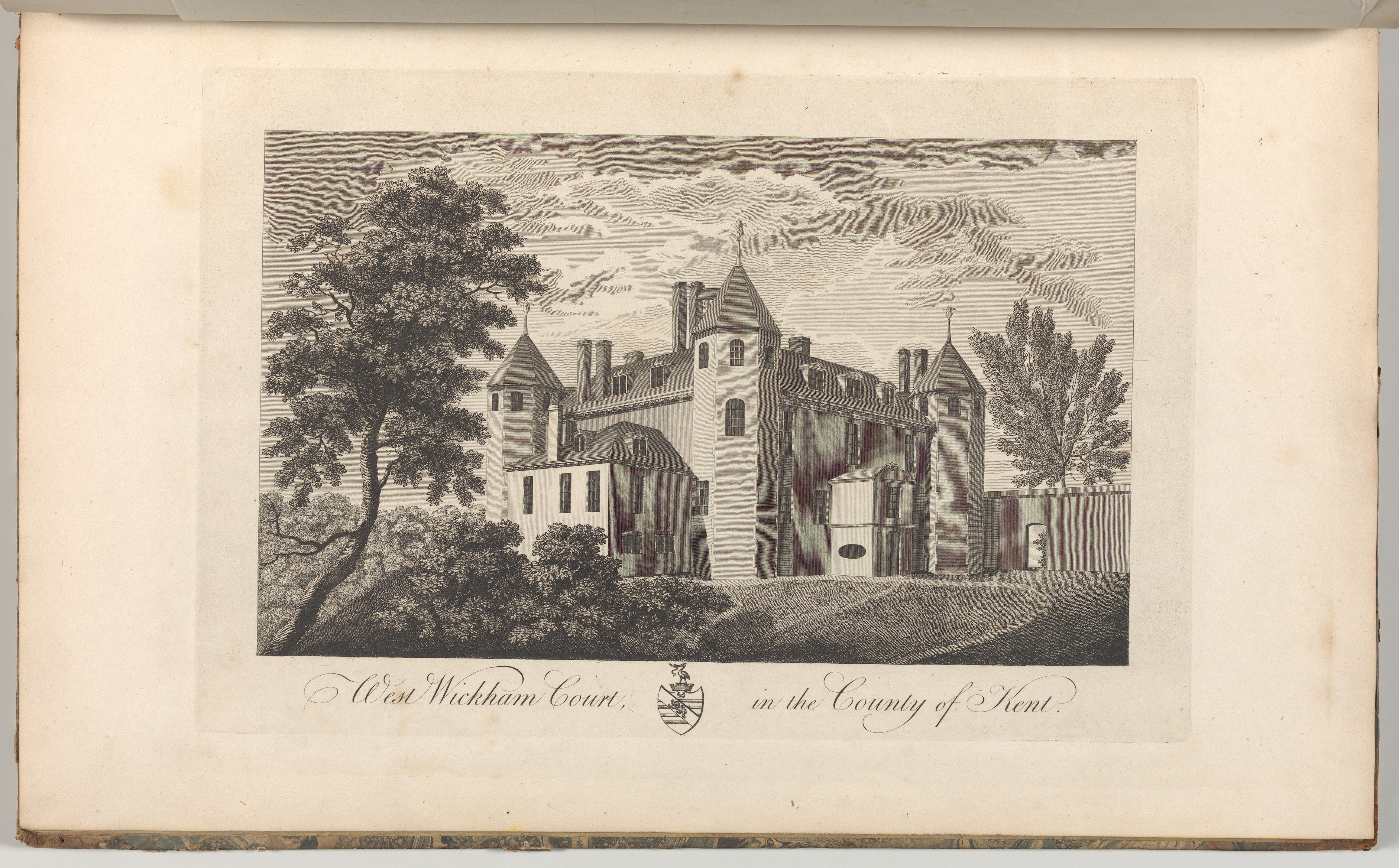
Wickham Court
Wickham Court is a semi-fortified country house in West Wickham, Bromley, a borough of south-east London and historically and traditionally part of the...
Nearby Amenities
Located within 500m of 51.353705,0.017924692Have you been to James's Wood?
Leave your review of James's Wood below (or comments, questions and feedback).