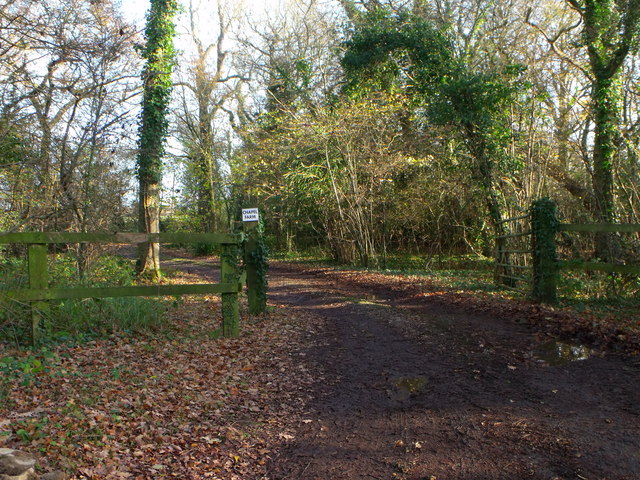
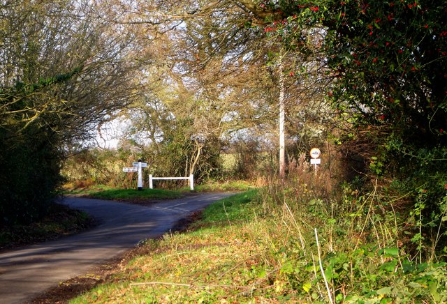
Overs Wood

Wood, Forest in Sussex Lewes

England

Overs Wood

Cooksbridge Station
Cooksbridge Station Credit: PAUL FARMER

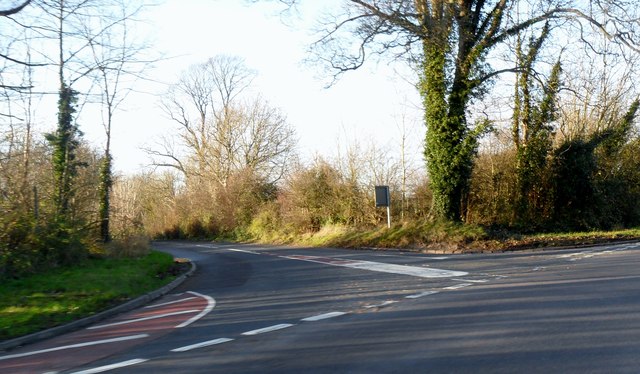
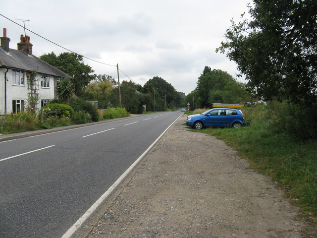
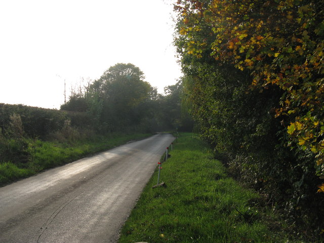
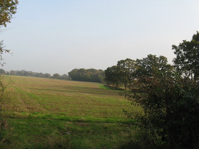
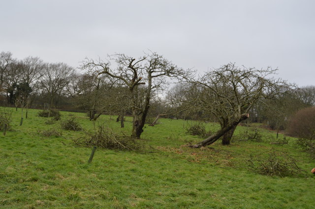
Overs Wood, located in Sussex, England, is a picturesque woodland area renowned for its natural beauty and rich biodiversity. Spanning over a vast expanse of approximately 200 acres, this ancient forest offers visitors a tranquil escape from the hustle and bustle of modern life.

The wood is dominated by a diverse range of tree species, including oak, ash, beech, and birch, creating a captivating kaleidoscope of colors throughout the seasons. The dense canopy provides a habitat for a plethora of wildlife, including deer, foxes, badgers, and a variety of bird species, making it a paradise for nature enthusiasts and birdwatchers.

A network of well-maintained footpaths and trails wind their way through the wood, inviting visitors to explore its hidden nooks and crannies. The paths lead to charming clearings, where visitors can enjoy a peaceful picnic or simply soak in the serene atmosphere.

Overs Wood is not only a haven for wildlife but also a living testament to the region's ancient history. Within the wood, remnants of prehistoric settlements and burial mounds can still be found, contributing to its archaeological significance.

Managed by a local conservation group, Overs Wood is committed to preserving the delicate balance between nature and human interaction. The group organizes regular events and educational programs, inviting locals and tourists alike to learn about the importance of conservation and sustainable woodland management.

Whether it's a leisurely stroll, a birdwatching expedition, or a journey into the region's past, Overs Wood offers a captivating experience for all who venture within its enchanting borders.

If you have any feedback on the listing, please let us know in the comments section below.

Overs Wood Images

Images are sourced within 2km of 50.914273/-0.001071708 or Grid Reference TQ4014. Thanks to Geograph Open Source API. All images are credited.

Cooksbridge Station
Cooksbridge Station
Looking towards The Rainbow Inn
Cottage on Chiltington Lane at Chiltington
Lewes to Burgess Hill spur line From the footpath to Spooner's Farm.
Lewes to Burgess Hill spur line
From the footpath to Spooner's Farm.
Footpath and entrance to Spooner's Farm
Entrance to Chapel Farm near Cooksbridge
Beechwood Lane near Cooksbridge
'Holters Green', a house near Cooksbridge
Road junction between A275 and B2116 at Offham
A275 south bound to Lewes
Wickham Lane SW to Chiltington
Footpath St John (without) 4 East across fields to the A275.
Footpath St John (without) 4
East across fields to the A275.
Gnarled orchard trees
Dismantled railway The old Lewes to East Grinstead line.
Dismantled railway
The old Lewes to East Grinstead line.
Dismantled railway The Wealden line ran from Tunbridge Wells to Lewes via Uckfield. The line was built in between 1846 & 1858. Most of the line has now closed to regular services. Lewes to Uckfield closed in 1969, Tunbridge Wells to Eridge closed in 1985. Eidge to Uckfield remains open as part of the Oxted line <a title="https://www.geograph.org.uk/snippet/4332" href="https://www.geograph.org.uk/snippet/4332">Link</a> . The Spa Valley Railway has re-opened the section between Tunbridge Wells West and Groombridge as a preservation line. Isfield station has been re-opened as the Lavender line.
Wikipedia: <span class="nowrap"><a title="http://en.wikipedia.org/wiki/Wealden_Line" rel="nofollow ugc noopener" href="http://en.wikipedia.org/wiki/Wealden_Line">Link</a><img style="margin-left:2px;" alt="External link" title="External link - shift click to open in new window" src="https://s1.geograph.org.uk/img/external.png" width="10" height="10"/></span>
Dismantled railway
The Wealden line ran from Tunbridge Wells to Lewes via Uckfield. The line was built in between 1846 & 1858. Most of the line has now closed to regular services. Lewes to Uckfield closed in 1969, Tunbridge Wells to Eridge closed in 1985. Eidge to Uckfield remains open as part of the Oxted line Link . The Spa Valley Railway has re-opened the section between Tunbridge Wells West and Groombridge as a preservation line. Isfield station has been re-opened as the Lavender line. Wikipedia: LinkExternal link
Muddy Sussex Ouse Valley Way Opened in 2005, the Sussex Ouse Valley Way is a beautiful 42 mile journey that broadly follows the River Ouse from its source close to Lower Beeding in the High Weald to the sea at Seaford Bay. It is signed using a picture of the Ouse Valley Viaduct. Website: <span class="nowrap"><a title="http://www.sussexousevalleyway.co.uk/index.htm" rel="nofollow ugc noopener" href="http://www.sussexousevalleyway.co.uk/index.htm">Link</a><img style="margin-left:2px;" alt="External link" title="External link - shift click to open in new window" src="https://s1.geograph.org.uk/img/external.png" width="10" height="10"/></span>
Muddy Sussex Ouse Valley Way
Opened in 2005, the Sussex Ouse Valley Way is a beautiful 42 mile journey that broadly follows the River Ouse from its source close to Lower Beeding in the High Weald to the sea at Seaford Bay. It is signed using a picture of the Ouse Valley Viaduct. Website: LinkExternal link
Culver Farm
Culver Farm
Field near Barcombe
Field near Barcombe
Show me another place!

Overs Wood is located at Grid Ref: TQ4014 (Lat: 50.914273, Lng: -0.001071708)

Administrative County: East Sussex

District: Lewes

Police Authority: Sussex

What 3 Words

///mandolin.full.coining. Near South Chailey, East Sussex

Related Wikis

Cooksbridge railway station

Cooksbridge railway station serves the village of Cooksbridge in East Sussex, England. It is on the East Coastway Line, 47 miles 31 chains (76.3 km) from...

Barcombe railway station

Barcombe was a railway station serving the village of Barcombe in East Sussex. It was part of the East Grinstead to Lewes line, part of which now makes...

Hamsey

Hamsey is a civil parish in the Lewes District of East Sussex, England. The parish covers a large area (1,144 hectares (2,830 acres)) and consists of the...

Barcombe

Barcombe is an East Sussex village and civil parish in the Lewes District of East Sussex. The parish has four settlements: old Barcombe (TQ 418 143), the...

St John Without

St John Without is a small civil parish in the Lewes District of East Sussex, England, covering an area to the north-west of the town of Lewes. Much...

Barcombe Mills

Barcombe Mills is a small settlement and an area of countryside including a local nature reserve near the village of Barcombe Cross in East Sussex, England...

Barcombe Mills railway station

Barcombe Mills is a disused railway station in the hamlet of Barcombe Mills, on the closed section of the Wealden Line. The station was opened in 1858...

Offham Marshes

Offham Marshes, also known as The Pells and Offham Marsh, is a 39.1-hectare (97-acre) biological Site of Special Scientific Interest on the northern outskirts...

Nearby Amenities

Located within 500m of 50.914273,-0.001071708
Barrier: stile
Lat/Long: 50.9136101/-0.0025538
Addr Housename: Well House
Place: isolated_dwelling
Lat/Long: 50.9173554/-0.0033499
Barrier: stile
Lat/Long: 50.9133641/0.0053179
The data included in this document is from www.openstreetmap.org. The data is made available under ODbL.

Have you been to Overs Wood?

Leave your review of Overs Wood below (or comments, questions and feedback).