Ashen Shaw
Wood, Forest in Sussex Lewes
England
Ashen Shaw
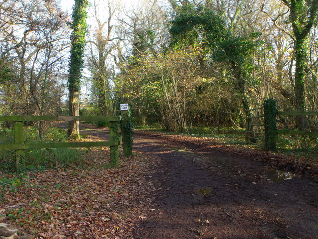
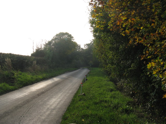
Ashen Shaw, Sussex (Wood, Forest) is a picturesque area located in the county of Sussex, England. Nestled amidst the rolling hills and verdant landscapes, this woodland paradise offers a serene and tranquil escape from the bustling city life.
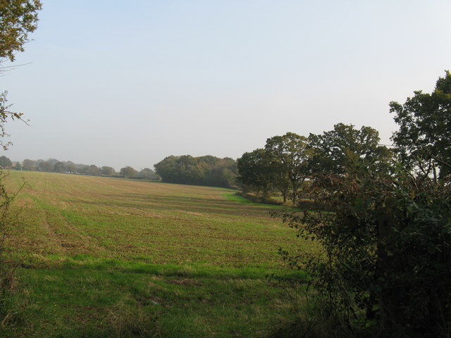
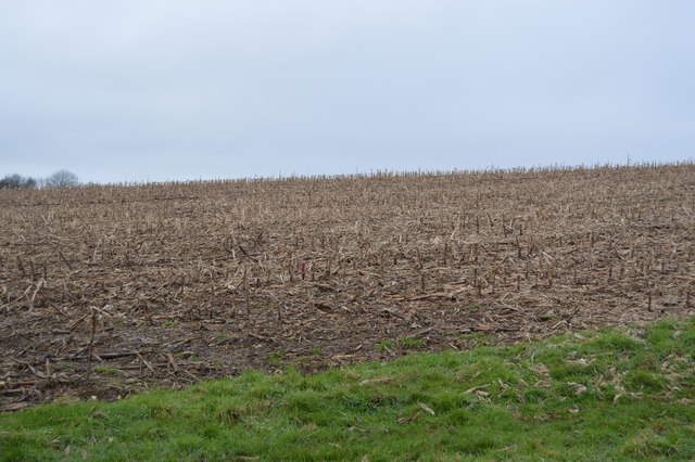
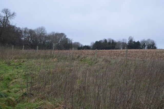
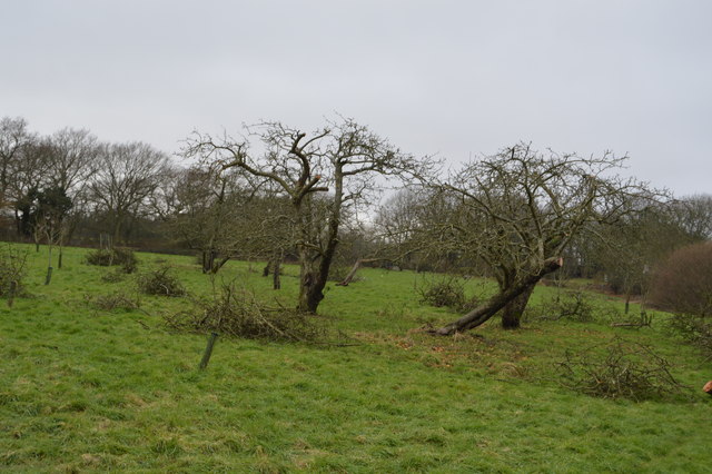
Covering a vast expanse of land, Ashen Shaw is known for its dense and ancient forest, boasting a rich diversity of flora and fauna. Towering oak, beech, and pine trees create a lush canopy, casting dappled sunlight onto the forest floor. The woodland is a haven for wildlife enthusiasts, offering sightings of deer, foxes, badgers, and a myriad of bird species.
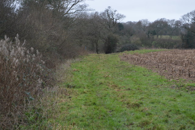
Walking through Ashen Shaw, visitors are greeted with a sense of calm and solitude. Numerous trails wind their way through the forest, inviting hikers and nature lovers to explore its hidden corners. The air is filled with the earthy scent of moss and damp soil, while the gentle rustling of leaves creates a soothing symphony.
Ashen Shaw is not only a natural wonderland but also steeped in history. It is believed that the forest has been present for centuries, serving as a source of timber and shelter for ancient civilizations. Remnants of old structures and stone circles can still be found, adding an element of mystery and intrigue to the area.
Whether you seek solace in nature, wish to indulge in outdoor activities, or simply want to immerse yourself in the beauty of a centuries-old forest, Ashen Shaw, Sussex (Wood, Forest) is sure to captivate all who venture into its enchanting depths.
If you have any feedback on the listing, please let us know in the comments section below.
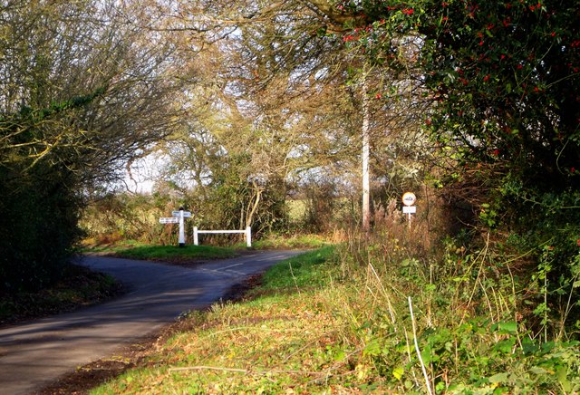
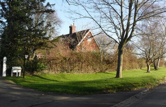
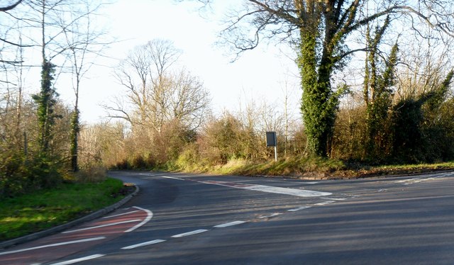
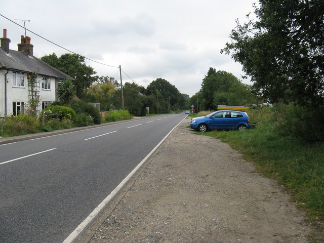
Ashen Shaw Images
Images are sourced within 2km of 50.912341/0.002529968 or Grid Reference TQ4014. Thanks to Geograph Open Source API. All images are credited.


Ashen Shaw is located at Grid Ref: TQ4014 (Lat: 50.912341, Lng: 0.002529968)
Administrative County: East Sussex
District: Lewes
Police Authority: Sussex
What 3 Words
///army.cute.compress. Near South Chailey, East Sussex
Nearby Locations
Related Wikis
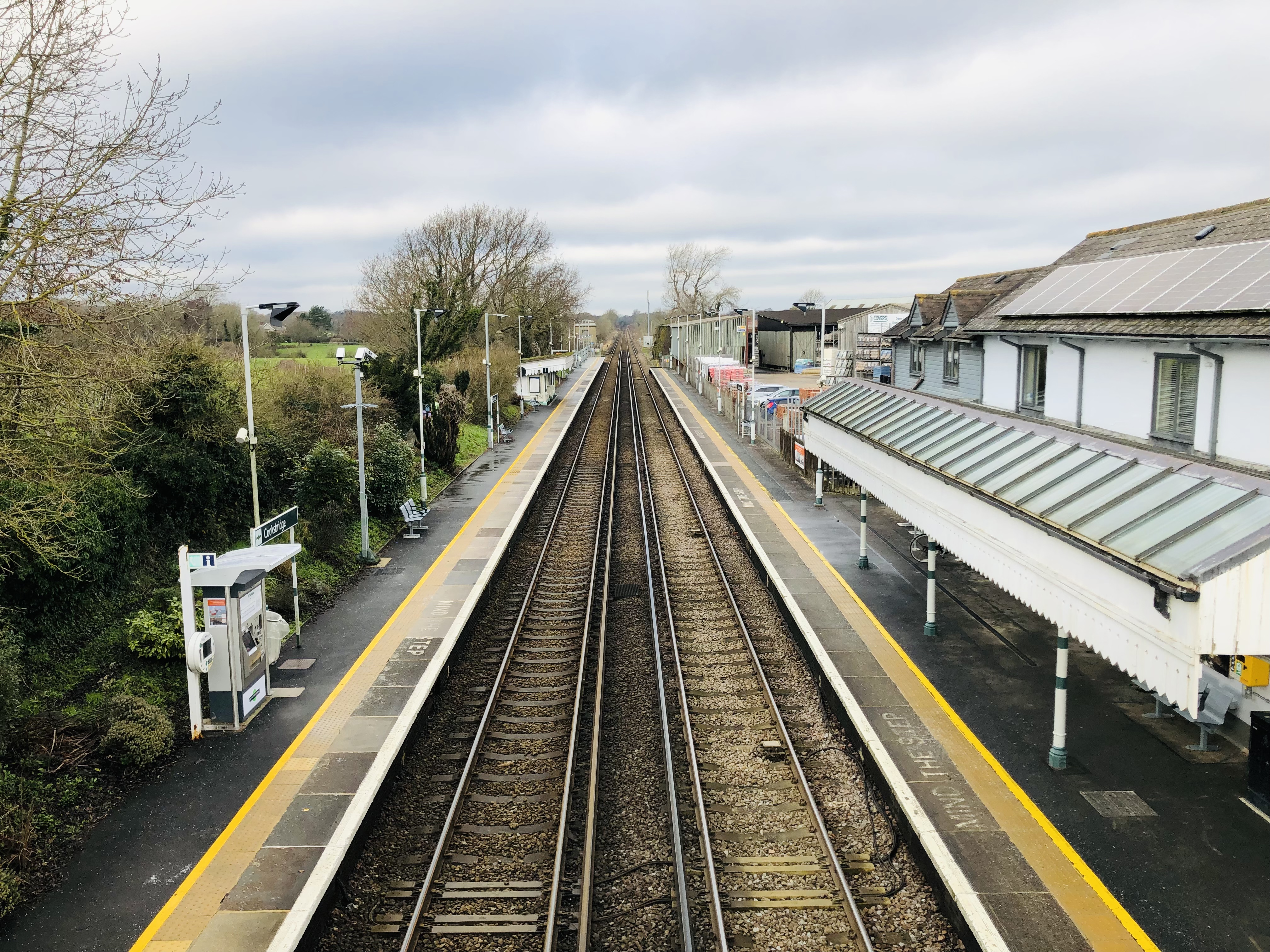
Cooksbridge railway station
Cooksbridge railway station serves the village of Cooksbridge in East Sussex, England. It is on the East Coastway Line, 47 miles 31 chains (76.3 km) from...

Hamsey
Hamsey is a civil parish in the Lewes District of East Sussex, England. The parish covers a large area (1,144 hectares (2,830 acres)) and consists of the...

Barcombe railway station
Barcombe was a railway station serving the village of Barcombe in East Sussex. It was part of the East Grinstead to Lewes line, part of which now makes...

Barcombe
Barcombe is an East Sussex village and civil parish in the Lewes District of East Sussex. The parish has four settlements: old Barcombe (TQ 418 143), the...

Barcombe Mills railway station
Barcombe Mills is a disused railway station in the hamlet of Barcombe Mills, on the closed section of the Wealden Line. The station was opened in 1858...

Barcombe Mills
Barcombe Mills is a small settlement and an area of countryside including a local nature reserve near the village of Barcombe Cross in East Sussex, England...

St John Without
St John Without is a small civil parish in the Lewes District of East Sussex, England, covering an area to the north-west of the town of Lewes. Much...

Offham Marshes
Offham Marshes, also known as The Pells and Offham Marsh, is a 39.1-hectare (97-acre) biological Site of Special Scientific Interest on the northern outskirts...
Nearby Amenities
Located within 500m of 50.912341,0.002529968Have you been to Ashen Shaw?
Leave your review of Ashen Shaw below (or comments, questions and feedback).