Longlands Shaw
Wood, Forest in Surrey Tandridge
England
Longlands Shaw
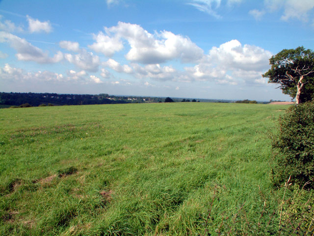
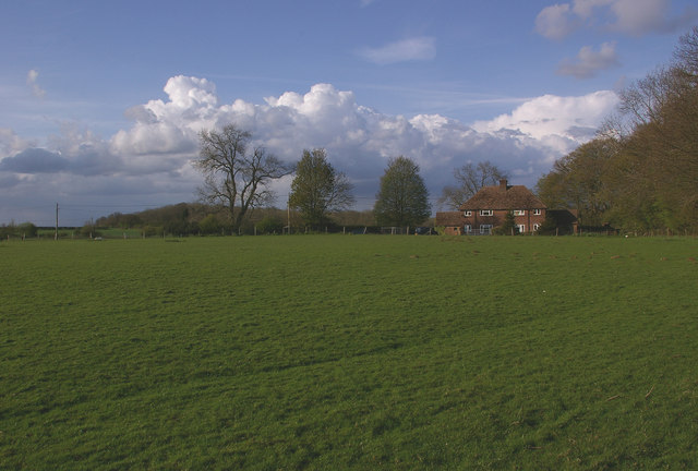
Longlands Shaw, located in Surrey, England, is a picturesque woodland area known for its natural beauty and tranquil atmosphere. Spread over a vast expanse, it offers a serene escape from the hustle and bustle of city life. The woodland is predominantly made up of oak, beech, and birch trees, creating a diverse and lush ecosystem.
The forest floor is covered in a thick carpet of moss, ferns, and wildflowers, adding to the enchanting ambiance of the area. Longlands Shaw is also home to various wildlife species, including deer, rabbits, foxes, and a variety of bird species. Nature enthusiasts and birdwatchers frequently visit the woodland to observe and appreciate the rich biodiversity it offers.
The forest is crisscrossed with a network of walking trails, allowing visitors to explore and immerse themselves in the natural surroundings. These trails meander through the woodland, leading to hidden glades, small streams, and secluded ponds. The calm and peaceful environment make it an ideal location for leisurely strolls, picnics, or simply finding solace in nature.
Longlands Shaw has a rich history, with evidence of human habitation dating back centuries. The woodland has been used by local communities for various purposes, including timber production and as a hunting ground. Today, it is managed and maintained by local conservation authorities, ensuring the preservation of its natural beauty for future generations.
Overall, Longlands Shaw is a captivating woodland in Surrey, offering visitors a chance to reconnect with nature and experience the tranquility of a pristine forest environment.
If you have any feedback on the listing, please let us know in the comments section below.
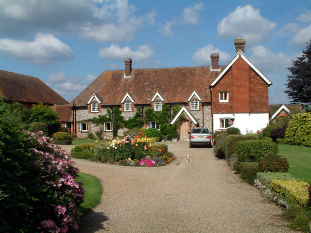
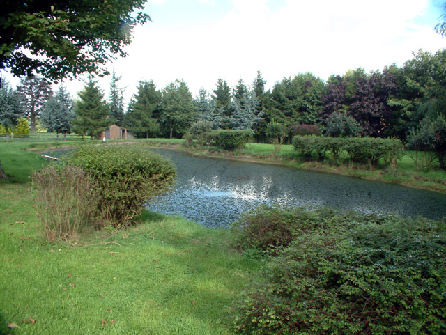
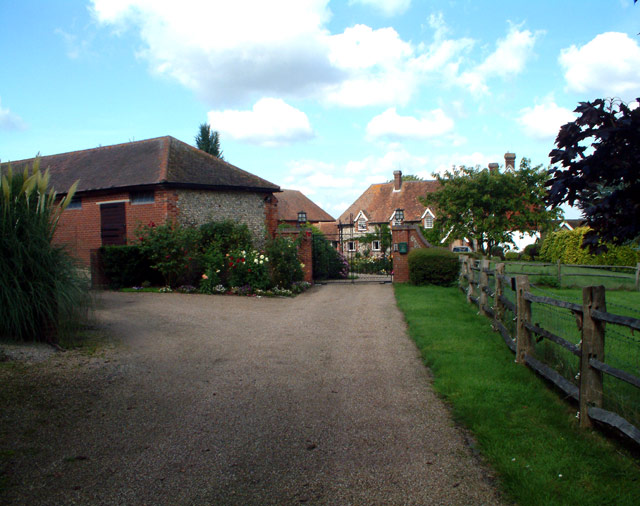
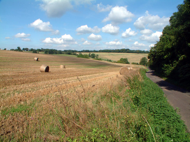
Longlands Shaw Images
Images are sourced within 2km of 51.296768/0.010750598 or Grid Reference TQ4057. Thanks to Geograph Open Source API. All images are credited.


Longlands Shaw is located at Grid Ref: TQ4057 (Lat: 51.296768, Lng: 0.010750598)
Administrative County: Surrey
District: Tandridge
Police Authority: Surrey
What 3 Words
///launch.rival.sculpture. Near Biggin Hill, London
Nearby Locations
Related Wikis

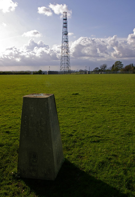
Tatsfield Receiving Station
The Tatsfield Receiving Station – known formally as the BBC Engineering Measurement and Receiving Station – was a radio broadcasting signals-receiving...

Tatsfield
Tatsfield is a village and civil parish in the Tandridge District of Surrey, England. It is located 3.3 miles north west of Westerham and 3.9 miles north...
Titsey
Titsey is a rural village and a civil parish on the North Downs almost wholly within the M25 London Orbital Motorway in the Tandridge District of Surrey...
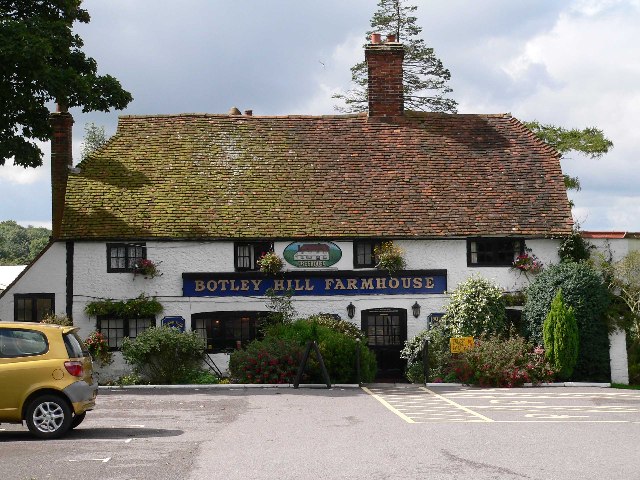
Botley Hill
Botley Hill is a hill in Surrey and is the highest point of the North Downs, with a height of 269.6 metres (885 ft). The Prime Meridian crosses the hill...
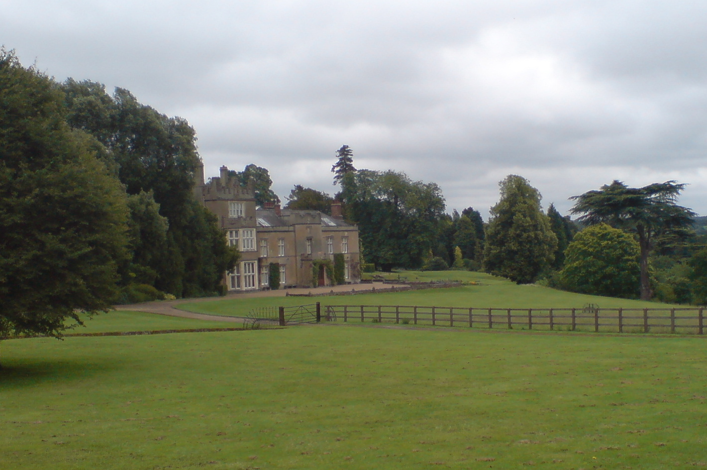
Titsey Place
Titsey Place is an English country house near Oxted in Surrey, England. It was successively the seat of the Gresham and Leveson-Gower families and is now...

Biggin Hill
Biggin Hill is a town in South East London, England, within the London Borough of Bromley. It is situated beyond London's contiguous built-up area in the...

Nore Hill Pinnacle
Nore Hill Pinnacle is a 0.2-hectare (0.49-acre) local nature reserve east of Warlingham in Surrey, England. It is owned by the Earl Compton Estate and...

Aperfield
Aperfield is a hamlet and area in London, England, within the London Borough of Bromley, 16.2 miles (26 km) south-southeast of Charing Cross, and outside...
Nearby Amenities
Located within 500m of 51.296768,0.010750598Have you been to Longlands Shaw?
Leave your review of Longlands Shaw below (or comments, questions and feedback).