Black Bushes
Wood, Forest in Hertfordshire East Hertfordshire
England
Black Bushes

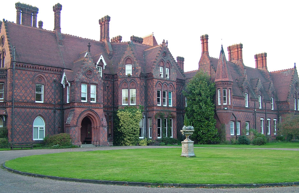
Black Bushes is a woodland area located in Hertfordshire, England. Covering an area of approximately 100 acres, it is a popular destination for nature enthusiasts and outdoor lovers. The woodland is predominantly comprised of a mix of deciduous and coniferous trees, providing a diverse and picturesque landscape throughout the year.
The forest is known for its rich biodiversity, with a wide variety of plant and animal species thriving within its boundaries. Visitors can expect to encounter native wildlife such as deer, rabbits, squirrels, and a plethora of bird species. The forest also boasts a number of rare and protected plants, adding to its ecological importance.
Black Bushes offers numerous walking trails and paths, allowing visitors to explore the woodlands at their leisure. These trails cater to different levels of difficulty, making it accessible for individuals of all fitness levels. In addition to walking, the forest is a haven for other recreational activities such as birdwatching, photography, and picnicking.
The woodland is well-maintained by local authorities, with designated picnic areas, benches, and trash bins strategically placed throughout the area. This ensures a clean and enjoyable environment for visitors. Moreover, educational signs and information boards are placed along the trails, providing insightful knowledge about the flora and fauna found within Black Bushes.
Overall, Black Bushes is a natural gem within Hertfordshire, offering a serene and peaceful retreat for those seeking to connect with nature. Its accessibility, diverse ecosystem, and well-maintained facilities make it a popular destination for both locals and tourists alike.
If you have any feedback on the listing, please let us know in the comments section below.
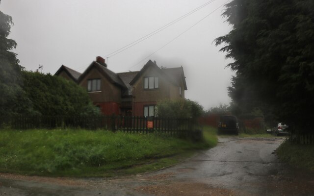
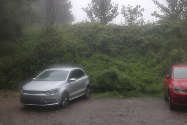
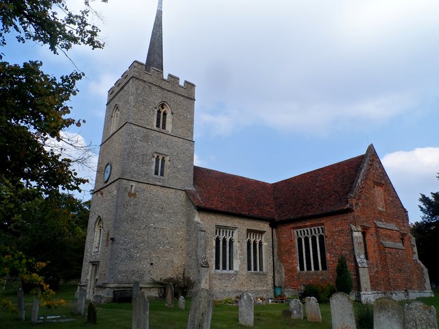
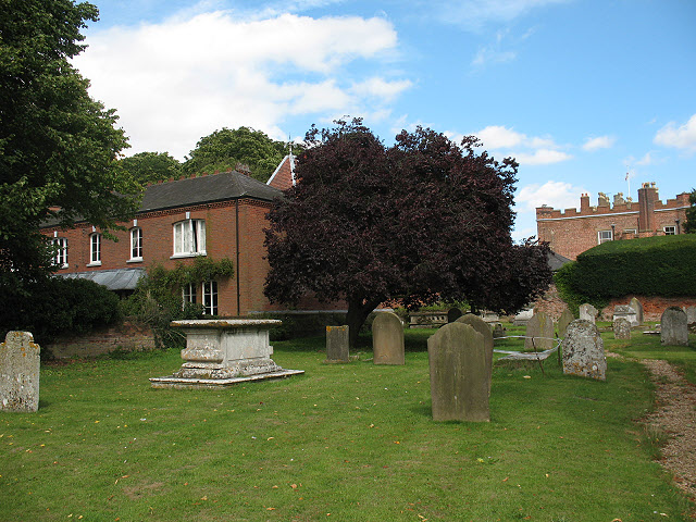
Black Bushes Images
Images are sourced within 2km of 51.799353/0.033004931 or Grid Reference TL4013. Thanks to Geograph Open Source API. All images are credited.


Black Bushes is located at Grid Ref: TL4013 (Lat: 51.799353, Lng: 0.033004931)
Administrative County: Hertfordshire
District: East Hertfordshire
Police Authority: Hertfordshire
What 3 Words
///policy.awake.land. Near Roydon, Essex
Nearby Locations
Related Wikis
Hunsdon House
Hunsdon House is a historic house in Hunsdon, Hertfordshire, England, northwest of Harlow. Originally constructed in the 15th century, it was most notably...
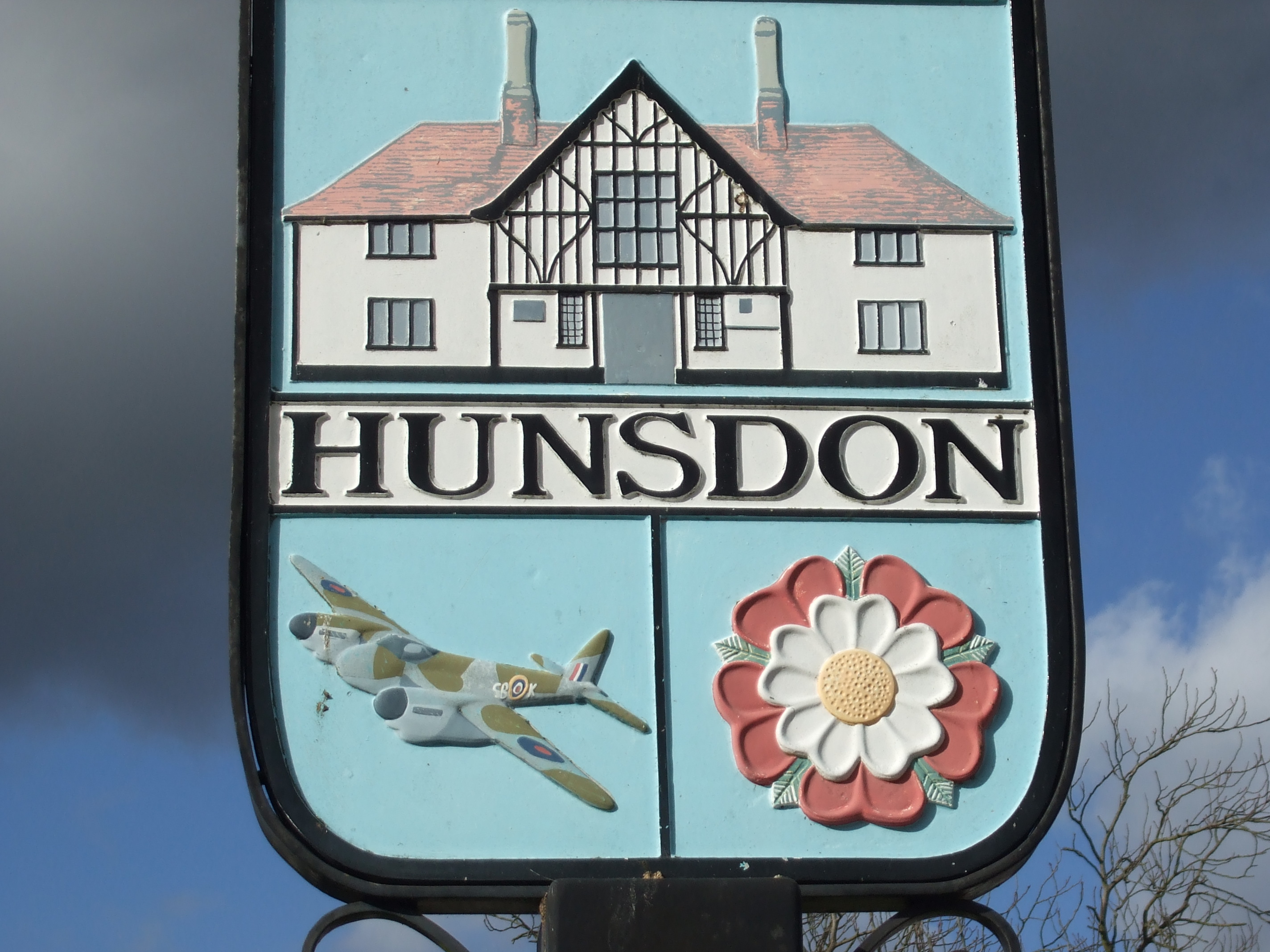
Hunsdon
Hunsdon is a village and civil parish in Hertfordshire, England. It is around 5.5 miles (9 km) east of Ware and 5 miles (8 km) north-west of Harlow. The...

Stanstead Abbotts
Stanstead Abbotts (alternatively Stanstead Abbots) is a village and civil parish in the district of East Hertfordshire, Hertfordshire, England; it lies...
Mardock railway station
Mardock railway station served the village of Wareside, Hertfordshire, England, from 1863 to 1964 by the Buntingford branch line. == History == The station...
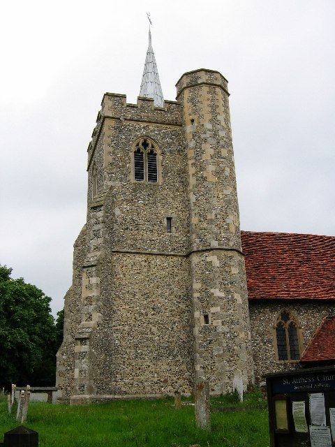
St James' Church, Stanstead Abbotts
St James' Church is a redundant Anglican church near the village of Stanstead Abbotts, Hertfordshire, England. It is recorded in the National Heritage...
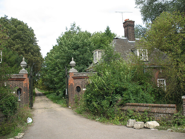
Briggens House
Briggens House is a Grade II listed 18th-century house and parklands near the village of Roydon, Essex, England. It has a number of features from the garden...

Hertford and Stortford (UK Parliament constituency)
Hertford and Stortford is a constituency currently represented in the House of Commons of the UK Parliament since 2019 by Julie Marson of the Conservative...
All Nations Christian College
All Nations Christian College is an English missions college, located on the Easneye estate near Ware, Hertfordshire, and validated by the Open University...
Nearby Amenities
Located within 500m of 51.799353,0.033004931Have you been to Black Bushes?
Leave your review of Black Bushes below (or comments, questions and feedback).