Andrew's Wood

Wood, Forest in Surrey Tandridge

England

Andrew's Wood

Railway bridge over the A25 at Oxted The Oxted to East Grinstead line crosses the main road here, just close to Oxted Station
Railway bridge over the A25 at Oxted Credit: Nigel Freeman

Andrew's Wood is a picturesque forest located in Surrey, England. Covering an area of approximately 100 acres, this woodland is a popular destination for nature enthusiasts and outdoor lovers. It is situated near the village of Surrey Hills, providing easy access to visitors from nearby areas.

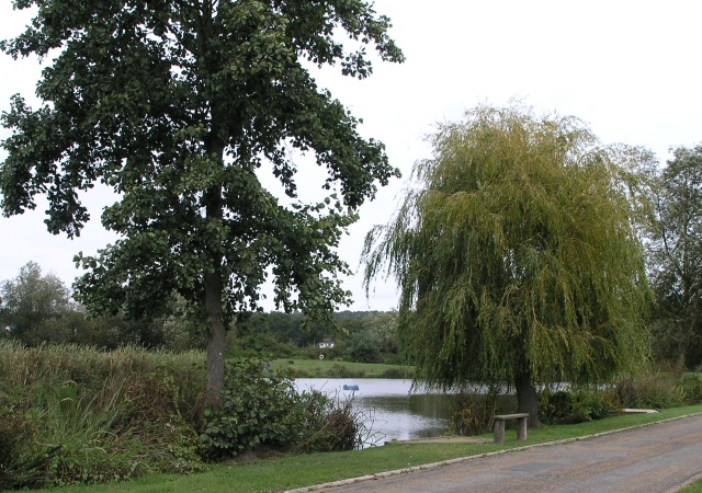
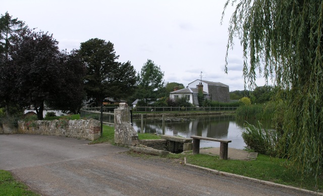
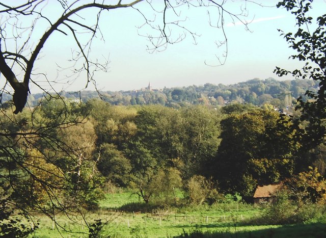
The woodland is characterized by its dense canopy of towering trees, predominantly consisting of oak, beech, and birch. These trees create a serene and peaceful atmosphere, offering a perfect escape from the hustle and bustle of city life. The forest floor is covered with a rich carpet of moss, ferns, and wildflowers, providing a vibrant and colorful display during the spring and summer months.

Andrew's Wood is home to a diverse range of wildlife, making it a haven for animal lovers and birdwatchers. Visitors may spot various species such as deer, foxes, badgers, and numerous bird species, including woodpeckers and owls. The forest also features several well-maintained trails, allowing visitors to explore and appreciate the natural beauty of the area.

The woodland provides an excellent opportunity for outdoor activities such as hiking, cycling, and picnicking. There are designated picnic areas equipped with benches and tables, offering a perfect spot to relax and enjoy the surroundings. The forest also has a small car park for visitors' convenience.

Overall, Andrew's Wood is a stunning and tranquil forest in Surrey, offering a serene escape into nature. With its diverse wildlife, beautiful trails, and peaceful atmosphere, it is a must-visit destination for anyone seeking a peaceful retreat or an outdoor adventure.

If you have any feedback on the listing, please let us know in the comments section below.

Andrew's Wood Images

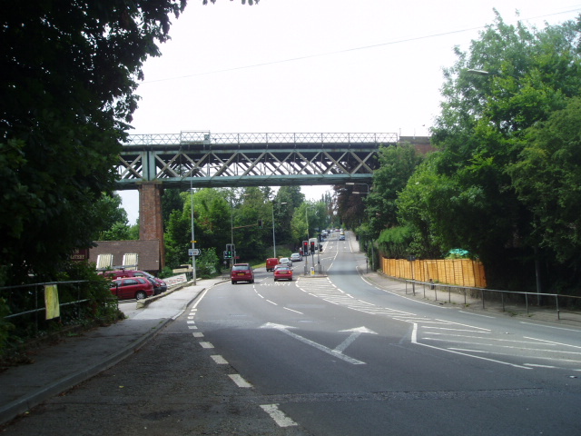
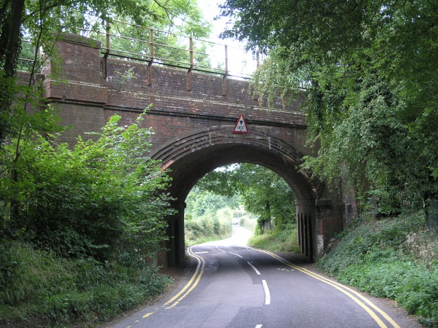
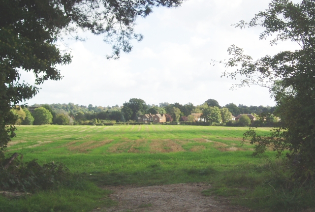
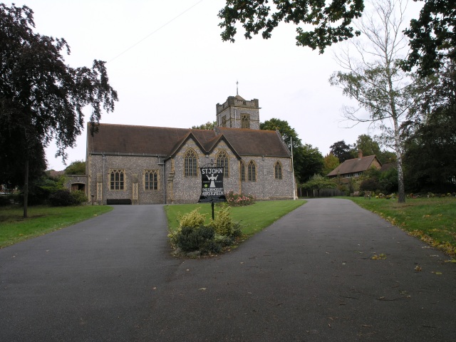
Images are sourced within 2km of 51.253197/0.008662776 or Grid Reference TQ4052. Thanks to Geograph Open Source API. All images are credited.

Railway bridge over the A25 at Oxted The Oxted to East Grinstead line crosses the main road here, just close to Oxted Station
Railway bridge over the A25 at Oxted
The Oxted to East Grinstead line crosses the main road here, just close to Oxted Station
Railway Bridge, near Oxted A railway bridge where the road passes under the railway on the approach to Oxted
Railway Bridge, near Oxted
A railway bridge where the road passes under the railway on the approach to Oxted
Towards Oxted At the junction of Chalk Pit Road with Barrow Green Road, you can see over a field towards Oxted.
Towards Oxted
At the junction of Chalk Pit Road with Barrow Green Road, you can see over a field towards Oxted.
Hurst Green Station Just off Greenhurst Lane, this station serves Southern trains.
Hurst Green Station
Just off Greenhurst Lane, this station serves Southern trains.
St John the Evangelist, Hurst Green The church was built in 1913, being extended in 1962 with the construction of St. John's Room.  In 1987, the building was substantially damaged by a fire and reconstruction and remodelling work completed in 1991.
St John the Evangelist, Hurst Green
The church was built in 1913, being extended in 1962 with the construction of St. John's Room. In 1987, the building was substantially damaged by a fire and reconstruction and remodelling work completed in 1991.
Mill Pond, near Hurst Green Mill Pond forms part of Coltsford Mill, a trout Fishery and conference centre. An artificial lake, it covers a total area of 2 and a half acres, and is fed by the river Eden and is well stocked with trout.
Mill Pond, near Hurst Green
Mill Pond forms part of Coltsford Mill, a trout Fishery and conference centre. An artificial lake, it covers a total area of 2 and a half acres, and is fed by the river Eden and is well stocked with trout.
Coltsford Mill, near Hurst Green Today, Coltsford Mill is a trout fishery and corporate event centre. The modern venue is also suitable for wedding receptions. The original mill on this site is mentioned in the Domesday book and was used to mill corn. The current building still has a cast iron water wheel.
Coltsford Mill, near Hurst Green
Today, Coltsford Mill is a trout fishery and corporate event centre. The modern venue is also suitable for wedding receptions. The original mill on this site is mentioned in the Domesday book and was used to mill corn. The current building still has a cast iron water wheel.
St. Mary the Virgin, Oxted and Cemetery St. Mary's, Oxted was built in stages, with the earliest section being built over 900 years ago.  It has quite a large cemetery, pictured here.
St. Mary the Virgin, Oxted and Cemetery
St. Mary's, Oxted was built in stages, with the earliest section being built over 900 years ago. It has quite a large cemetery, pictured here.
Electric, diesel and gas A new diesel train and an old electric train at Oxted station together with a large gas holder.
Electric, diesel and gas
A new diesel train and an old electric train at Oxted station together with a large gas holder.
The Bogs, Oxted The trees in the middle of the picture and the grassy area in the foreground are all in the gridsquare. Although these two areas are probably not strictly speaking a bog despite being so called on maps, they are nevertheless marshy and are where the River Eden has its source. Taken from Sandy Lane.
The Bogs, Oxted
The trees in the middle of the picture and the grassy area in the foreground are all in the gridsquare. Although these two areas are probably not strictly speaking a bog despite being so called on maps, they are nevertheless marshy and are where the River Eden has its source. Taken from Sandy Lane.
North side of Station Road, Oxted Both sides of Station Road are in the attractive Tudor style so characteristic of twentieth century domestic and commercial buildings in Surrey. What is more unusual is that even the cinema is in this style.
North side of Station Road, Oxted
Both sides of Station Road are in the attractive Tudor style so characteristic of twentieth century domestic and commercial buildings in Surrey. What is more unusual is that even the cinema is in this style.
South side of Station Road, Oxted The half-timbered style of the buildings does much to enchance the appearance of Oxted's town centre.
South side of Station Road, Oxted
The half-timbered style of the buildings does much to enchance the appearance of Oxted's town centre.
St Agatha's hall A former mission church, now a parish hall associated with <a href="https://www.geograph.org.uk/photo/58784">TQ3951 : St John the Evangelist, Hurst Green</a>.  It is on the edge of Hurst Green, close to the station of the same name.
St Agatha's hall
A former mission church, now a parish hall associated with TQ3951 : St John the Evangelist, Hurst Green. It is on the edge of Hurst Green, close to the station of the same name.
Hurst Green The open space that gives its name to the village (a suburb of Oxted)
Hurst Green
The open space that gives its name to the village (a suburb of Oxted)
St. Marys Church, Oxted Taken from the entrance of the cemetery and the path that leads to the corn field. If you cross the field you come to Barrow Green Road and Chalkpit Lane.
St. Marys Church, Oxted
Taken from the entrance of the cemetery and the path that leads to the corn field. If you cross the field you come to Barrow Green Road and Chalkpit Lane.
St Mary's Church, Oxted Taken with cemetery behind and Master Park to my right
St Mary's Church, Oxted
Taken with cemetery behind and Master Park to my right
Oxted fire station Oxted fire station, Potters Sandpit, Oxted, Surrey is easily missed travelling along East Hill - it is tucked away up a small lane.
Oxted fire station
Oxted fire station, Potters Sandpit, Oxted, Surrey is easily missed travelling along East Hill - it is tucked away up a small lane.
Lime Trees, Master Park, Oxted Some of the 16 lime trees which form the eastern edge of Master Park. This land, now known as Master Park, has been used for recreation since before 1900. It was bequeathed in 1923 by Charles Hoskins Master for the healthy recreation and amusement of the people of Oxted and their friends.
Lime Trees, Master Park, Oxted
Some of the 16 lime trees which form the eastern edge of Master Park. This land, now known as Master Park, has been used for recreation since before 1900. It was bequeathed in 1923 by Charles Hoskins Master for the healthy recreation and amusement of the people of Oxted and their friends.
Show me another place!

Andrew's Wood is located at Grid Ref: TQ4052 (Lat: 51.253197, Lng: 0.008662776)

Administrative County: Surrey

District: Tandridge

Police Authority: Surrey

What 3 Words

///squad.liner.pets. Near Oxted, Surrey

Related Wikis

Hazelwood School

Hazelwood School is a private preparatory school in Limpsfield, Surrey, England. The school was established in 1890 as a boarding school for boys aged...

Tandridge District

Tandridge is a local government district in east Surrey, England. Its council is based in Oxted, although the largest settlement is Caterham; other notable...

Godstone Rural District

Godstone Rural District was a rural district in Surrey, England from 1894 to 1974, covering an area in the south-east of the county. == Origins == The...

Limpsfield

Limpsfield is a village and civil parish in Surrey, England, at the foot of the North Downs close to Oxted railway station and the A25. The composer Frederick...

Nearby Amenities

Located within 500m of 51.253197,0.008662776
Traffic Calming: island
Lat/Long: 51.2569236/0.0055674
Crossing
Crossing: unmarked
Kerb: lowered
Tactile Paving: no
Wheelchair: limited
Lat/Long: 51.2569499/0.0062435
Bus Stop
Detillens Lane
Public Transport: platform
Wheelchair: yes
Lat/Long: 51.2565274/0.0075722
Bus Stop
Detillens Lane
Public Transport: platform
Shelter: no
Source: gps
Wheelchair: yes
Lat/Long: 51.2566261/0.0075807
Post Box
Collection Times: Mo-Fr 09:00; Sa 07:00
Operator: Royal Mail
Post Box Type: pillar
Ref: RH8 194D
Royal Cypher: GVIR
Royal Cypher Wikidata: Q33102169
Lat/Long: 51.2574429/0.0080339
Post Box
Collection Times: Mo-Fr 09:00; Sa 07:00
Operator: Royal Mail
Post Box Mounting: brick_pillar
Post Box Type: wall
Ref: RH8 33D
Royal Cypher: EIIR
Royal Cypher Wikidata: Q33102113
Lat/Long: 51.2498404/0.0088553
Barrier: bollard
Bollard: fixed
Lat/Long: 51.2506769/0.0043398
The data included in this document is from www.openstreetmap.org. The data is made available under ODbL.

Have you been to Andrew's Wood?

Leave your review of Andrew's Wood below (or comments, questions and feedback).