Barton Shaw
Wood, Forest in Surrey Tandridge
England
Barton Shaw
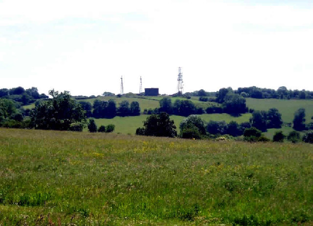
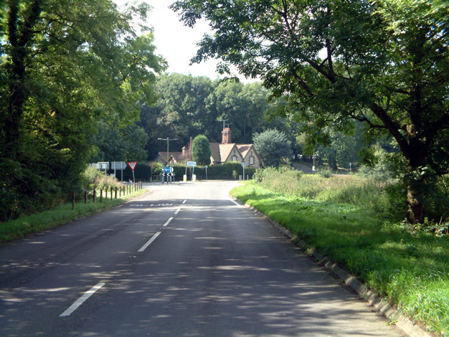
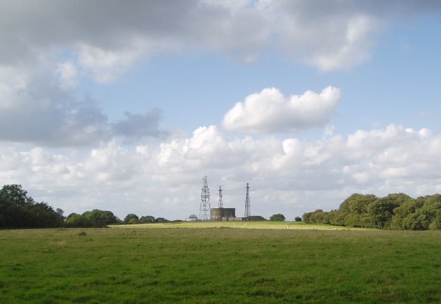
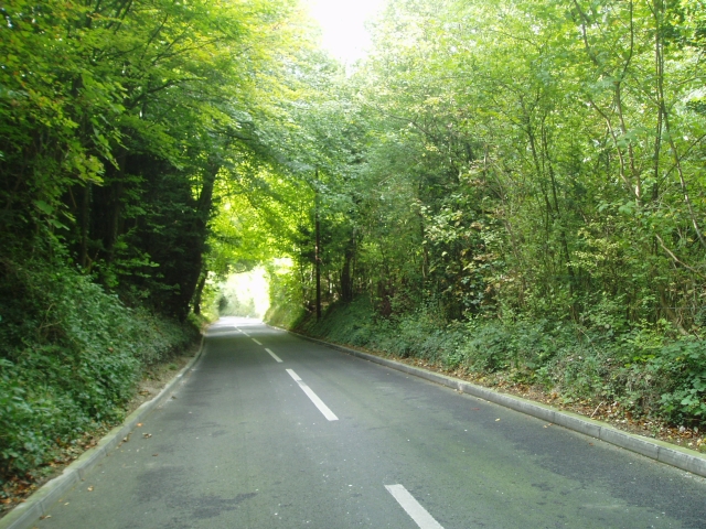
Barton Shaw is a picturesque woodland area located in Surrey, England. Nestled in the heart of the county, this serene forest offers a tranquil escape from the hustle and bustle of city life. Spread over a vast area, Barton Shaw is known for its dense tree cover, diverse wildlife, and captivating natural beauty.
The woodland consists predominantly of oak, beech, and birch trees, creating a rich tapestry of colors throughout the seasons. Walking through the forest, visitors are greeted with a peaceful ambiance and the gentle rustling of leaves underfoot. The forest floor is adorned with a variety of wildflowers, adding a splash of vibrant hues to the landscape.
Barton Shaw is home to a wide range of wildlife, making it a popular destination for nature enthusiasts and birdwatchers. The forest provides a habitat for deer, foxes, badgers, squirrels, and an array of bird species including woodpeckers, owls, and finches. Exploring the winding trails within the woodland, visitors may be lucky enough to spot these magnificent creatures in their natural habitat.
The forest offers various recreational activities for visitors to enjoy. Walking and cycling trails meander through the woods, allowing enthusiasts to immerse themselves in the beauty of nature. There are also designated picnic areas where families and friends can relax and enjoy a meal surrounded by the peaceful ambiance of the forest.
Barton Shaw, Surrey, is a true haven for nature lovers and those seeking solace in the beauty of the great outdoors. With its breathtaking scenery and abundant wildlife, it is a must-visit destination for anyone looking to reconnect with nature.
If you have any feedback on the listing, please let us know in the comments section below.
Barton Shaw Images
Images are sourced within 2km of 51.272466/0.010951045 or Grid Reference TQ4054. Thanks to Geograph Open Source API. All images are credited.


Barton Shaw is located at Grid Ref: TQ4054 (Lat: 51.272466, Lng: 0.010951045)
Administrative County: Surrey
District: Tandridge
Police Authority: Surrey
What 3 Words
///dunes.wing.acting. Near Oxted, Surrey
Nearby Locations
Related Wikis
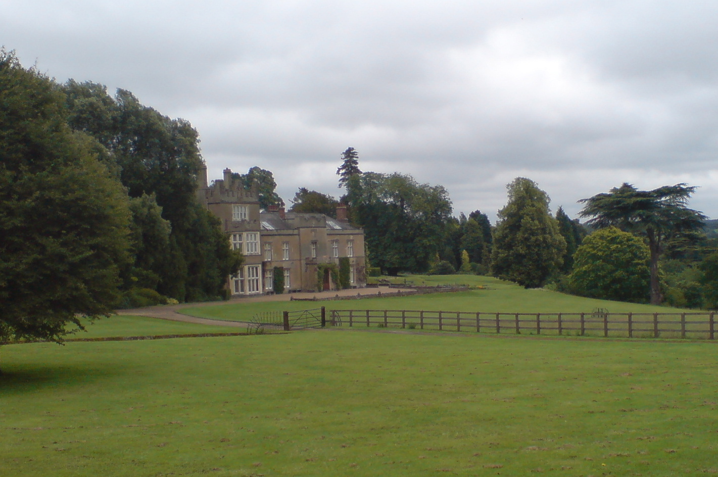
Titsey Place
Titsey Place is an English country house near Oxted in Surrey, England. It was successively the seat of the Gresham and Leveson-Gower families and is now...
Botley Hill
Botley Hill is a hill in Surrey and is the highest point of the North Downs, with a height of 269.6 metres (885 ft). The Prime Meridian crosses the hill...
Titsey
Titsey is a rural village and a civil parish on the North Downs almost wholly within the M25 London Orbital Motorway in the Tandridge District of Surrey...

Church of St Peter, Limpsfield
The Anglican Church of St Peter in Limpsfield, Surrey, England dates from the 12th century. It is a Grade I listed building. It is known for the number...

Limpsfield
Limpsfield is a village and civil parish in Surrey, England, at the foot of the North Downs close to Oxted railway station and the A25. The composer Frederick...

Oxted School
Oxted School is a coeducational secondary school and sixth form located in the English town of Oxted, Surrey. It was opened in 1929 as the first mixed...

All Saints Church, Oxted
All Saints Church is a Roman Catholic Parish church in Oxted, Surrey. Building work on the church started in 1913 and was delayed by World War I. Aspects...

Tandridge District
Tandridge is a local government district in east Surrey, England. Its council is based in Oxted, although the largest settlement is Caterham; other notable...
Nearby Amenities
Located within 500m of 51.272466,0.010951045Have you been to Barton Shaw?
Leave your review of Barton Shaw below (or comments, questions and feedback).