South Green
Downs, Moorland in Surrey Tandridge
England
South Green
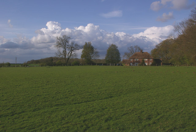
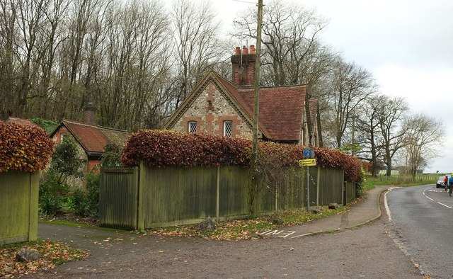
South Green is a picturesque village located in the county of Surrey, England. Situated within the larger area of Downs and Moorland, it boasts stunning natural beauty and a tranquil environment. The village is known for its idyllic countryside landscapes, rolling hills, and lush green meadows.
The village of South Green is characterized by its traditional architecture, with charming cottages and houses lining the streets. The community is small but tightly knit, fostering a strong sense of communal spirit and neighborly support. Residents of South Green often enjoy a peaceful and close-knit lifestyle, away from the hustle and bustle of larger towns and cities.
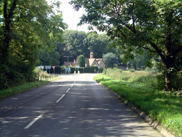
Nature lovers are drawn to South Green due to its proximity to various natural attractions. The village is surrounded by beautiful moorlands, offering ample opportunities for hiking, birdwatching, and exploring the local flora and fauna. The nearby Downs provide breathtaking views of the countryside and are popular among walkers and nature enthusiasts.
Despite its rural setting, South Green offers convenient access to essential amenities and services. The village has a small but well-stocked local shop, a post office, and a cozy pub where residents can socialize and relax. Additionally, the nearby town of Surrey provides a wider range of shops, supermarkets, schools, and healthcare facilities.
Overall, South Green in Surrey (Downs, Moorland) is a charming and peaceful village, offering a serene escape from the fast-paced modern world. Its natural beauty, tight-knit community, and easy access to amenities make it an attractive place to live for those seeking a tranquil rural lifestyle.
If you have any feedback on the listing, please let us know in the comments section below.
South Green Images
Images are sourced within 2km of 51.268893/0.018937736 or Grid Reference TQ4054. Thanks to Geograph Open Source API. All images are credited.


South Green is located at Grid Ref: TQ4054 (Lat: 51.268893, Lng: 0.018937736)
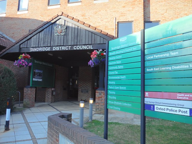
Administrative County: Surrey
District: Tandridge
Police Authority: Surrey
What 3 Words
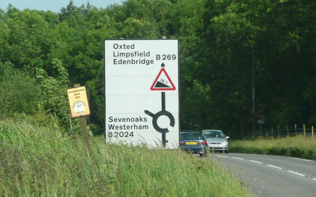
///wire.across.mess. Near Oxted, Surrey
Nearby Locations
Related Wikis
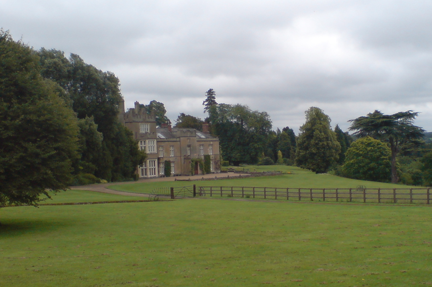
Titsey Place
Titsey Place is an English country house near Oxted in Surrey, England. It was successively the seat of the Gresham and Leveson-Gower families and is now...

Church of St Peter, Limpsfield
The Anglican Church of St Peter in Limpsfield, Surrey, England dates from the 12th century. It is a Grade I listed building. It is known for the number...

Limpsfield
Limpsfield is a village and civil parish in Surrey, England, at the foot of the North Downs close to Oxted railway station and the A25. The composer Frederick...
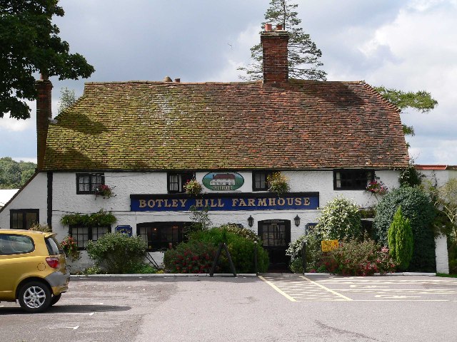
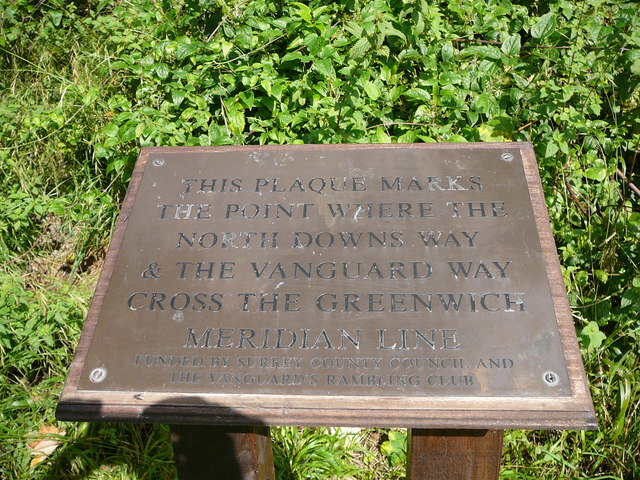
Botley Hill
Botley Hill is a hill in Surrey and is the highest point of the North Downs, with a height of 269.6 metres (885 ft). The Prime Meridian crosses the hill...
Titsey
Titsey is a rural village and a civil parish on the North Downs almost wholly within the M25 London Orbital Motorway in the Tandridge District of Surrey...

Clacket Lane services
Clacket Lane services is a motorway service station on the M25 motorway midway between junctions 5 and 6, in Surrey, United Kingdom, adjacent to the parish...

Tandridge Priory
Tandridge Priory was a priory in Surrey, England. == History == Tandridge Priory was originally a hospital founded in 1189–99 by Odo de Dammartin, and...
Oxted School
Oxted School is a coeducational secondary school and sixth form located in the English town of Oxted, Surrey. It was opened in 1929 as the first mixed...
Nearby Amenities
Located within 500m of 51.268893,0.018937736Have you been to South Green?
Leave your review of South Green below (or comments, questions and feedback).