Ashburton Wood
Wood, Forest in Essex
England
Ashburton Wood

Ashburton Wood is a picturesque forest located in the county of Essex, England. Situated near the village of Ashburton, the wood boasts an enchanting combination of diverse flora and fauna, making it a popular destination for nature enthusiasts and hikers alike.
Covering an area of approximately 100 acres, Ashburton Wood is characterized by its dense canopy of towering oak, beech, and birch trees, creating a serene and tranquil atmosphere. The forest floor is adorned with a vibrant carpet of bluebells, wildflowers, and ferns, adding to its natural beauty.
The wood is home to a wide variety of wildlife, making it an important conservation area. Among the notable species that can be spotted here are red deer, foxes, badgers, and an array of bird species including woodpeckers, owls, and warblers. Visitors may also encounter smaller creatures such as squirrels, rabbits, and hedgehogs as they explore the forest's winding trails.
Several walking paths and trails crisscross the wood, offering visitors the opportunity to immerse themselves in its natural splendor. These trails cater to different levels of fitness, ranging from leisurely strolls to more challenging hikes. Information boards along the routes provide educational insights into the woodland's ecology and history.
Ashburton Wood is a cherished local gem, attracting visitors from near and far. Its idyllic setting, rich biodiversity, and accessibility make it a perfect destination for those seeking a peaceful retreat or a chance to reconnect with nature.
If you have any feedback on the listing, please let us know in the comments section below.
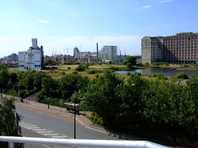
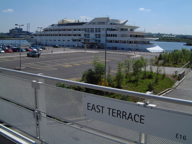
Ashburton Wood Images
Images are sourced within 2km of 51.514575/0.024824847 or Grid Reference TQ4081. Thanks to Geograph Open Source API. All images are credited.


Ashburton Wood is located at Grid Ref: TQ4081 (Lat: 51.514575, Lng: 0.024824847)
Unitary Authority: Newham
Police Authority: Metropolitan
What 3 Words
///tower.tens.choice. Near Poplar, London
Nearby Locations
Related Wikis

Canning Town
Canning Town is a district in the London Borough of Newham, East London. The district is located to the north of the Royal Victoria Dock, and has been...

Ronan Point
Ronan Point was a 22-storey tower block in Canning Town in Newham, East London, that partly collapsed on 16 May 1968, only two months after it had opened...

St Cedd's Church, Canning Town
St Cedd's Church was a Church of England church between Newham Way, (front, original access, was Beckton Road at time of building) and Chadwin Road, (access...
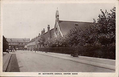
St Matthew's Church, Custom House
St Matthew's Church, Custom House, was a Church of England church on Ethel Road in the Victoria Docks area of West Ham. It is named after its district...
Nearby Amenities
Located within 500m of 51.514575,0.024824847Have you been to Ashburton Wood?
Leave your review of Ashburton Wood below (or comments, questions and feedback).