Reservoir Wood
Wood, Forest in Essex
England
Reservoir Wood
Reservoir Wood is a picturesque forest located in Essex, England. Covering an area of approximately 100 acres, it is a popular destination for nature enthusiasts and outdoor adventurers alike. The wood is part of the larger Reservoir Forest, which is known for its diverse wildlife and stunning natural beauty.
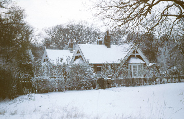
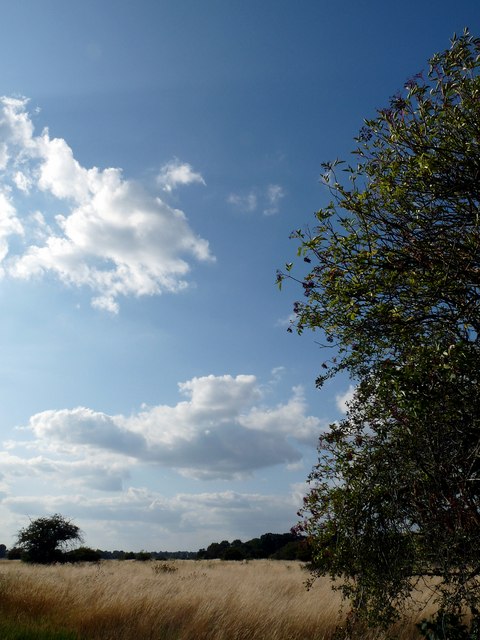
The wood is characterized by its dense canopy of tall trees, providing a cool and shaded environment for visitors. The dominant tree species found here include oak, beech, and ash, creating a rich and varied habitat for numerous animal species. The forest floor is carpeted with an array of wildflowers, adding a splash of color to the surroundings.
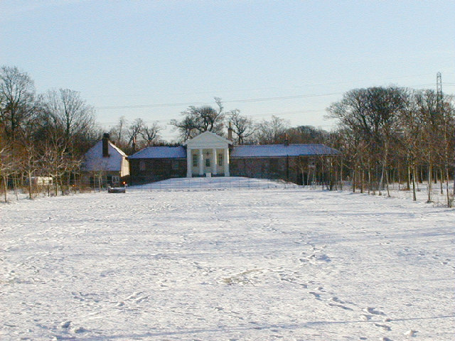
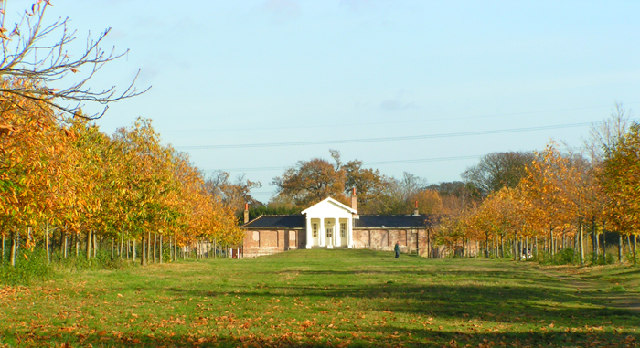
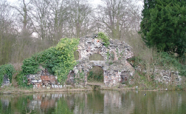
One of the key attractions of Reservoir Wood is its reservoir, which is nestled within the forest. The reservoir not only adds to the scenic beauty of the wood but also serves as a vital water source for the surrounding areas. Visitors can enjoy peaceful walks along the reservoir's edge, taking in the tranquil ambiance and perhaps catching a glimpse of waterfowl or other aquatic creatures.
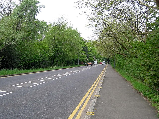
Reservoir Wood offers a range of recreational activities for visitors to enjoy. There are several well-maintained walking trails that wind through the forest, providing opportunities for leisurely strolls and more challenging hikes. Birdwatching is also a popular pastime here, with a variety of bird species calling the wood home.
Overall, Reservoir Wood in Essex is a natural haven that offers a peaceful escape from the hustle and bustle of everyday life. Whether you are seeking solitude, adventure, or simply a chance to connect with nature, this beautiful forest has something to offer for everyone.
If you have any feedback on the listing, please let us know in the comments section below.
Reservoir Wood Images
Images are sourced within 2km of 51.56631/0.026906193 or Grid Reference TQ4087. Thanks to Geograph Open Source API. All images are credited.


Reservoir Wood is located at Grid Ref: TQ4087 (Lat: 51.56631, Lng: 0.026906193)
Unitary Authority: Redbridge
Police Authority: Metropolitan
What 3 Words
///crew.heats.await. Near Ilford, London
Nearby Locations
Related Wikis

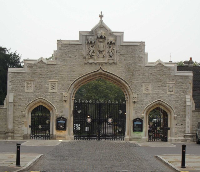
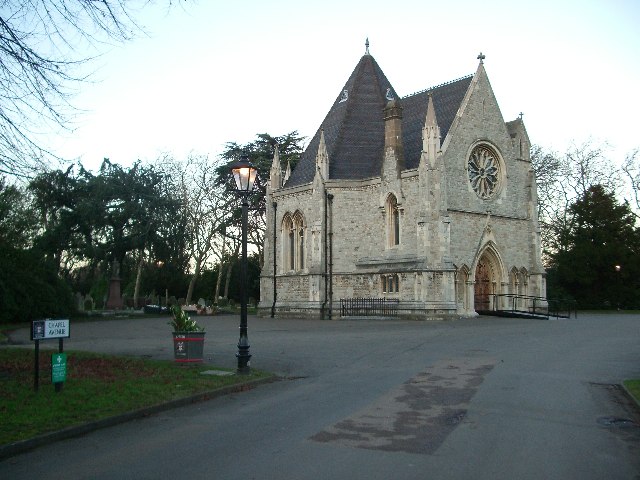
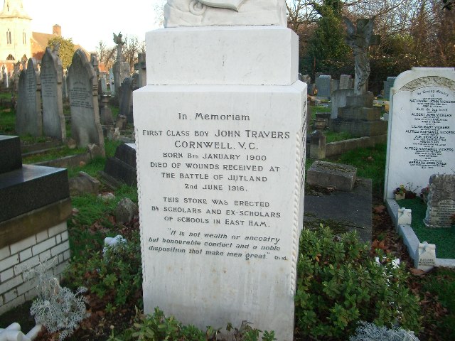
St Gabriel's Church, Aldersbrook
St Gabriel's Church is a Church of England parish church in the Aldersbrook estate area of Wanstead in the London Borough of Redbridge, dedicated to the...

Aldersbrook
Aldersbrook (also known as Aldersbrook Estate), is an Edwardian housing estate in Wanstead, East London. It is named after the medieval Manor of Aldersbrook...

St Mary the Virgin, Wanstead
St Mary the Virgin, Wanstead is a Church of England church in Wanstead, east London. It is located on Overton Drive and now shares its parish with Christ...

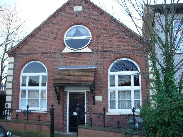
Aldersbrook Baptist Church
Aldersbrook Baptist Church is a Baptist church in the Aldersbrook area of Wanstead in the London Borough of Redbridge. It was formally constituted in 1906...
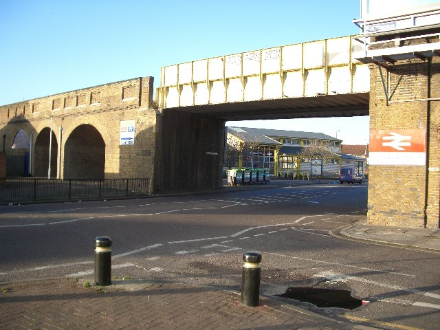
A114 road (England)
The A114 road is a road in east London, England. It runs from Whipps Cross University Hospital to Plaistow, passing Wanstead, Forest Gate and Upton....

Aldersbrook Estate
The Aldersbrook Estate is the name given to an Edwardian housing estate in Aldersbrook, Wanstead, in the London Borough of Redbridge. The built-up area...

Bushwood, Leytonstone
Bushwood is an area in the north of Leytonstone in East London; determined by the curved boundary of the road called Bushwood along the edge of Wanstead...
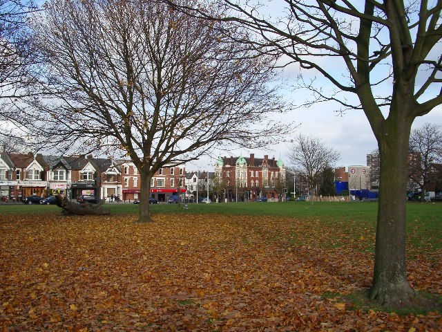
Wanstead Flats
Wanstead Flats is the southernmost portion of Epping Forest, in Leytonstone and Wanstead, London. The flats and by extension the forest ends at Forest...
Nearby Amenities
Located within 500m of 51.56631,0.026906193Have you been to Reservoir Wood?
Leave your review of Reservoir Wood below (or comments, questions and feedback).