Aldersbrook

Settlement in Essex

England

Aldersbrook

The Temple. Wanstead Park The Temple was built around 1760 as a garden house on the estate surrounding Wanstead House.
The Temple. Wanstead Park Credit: Brian Gotts

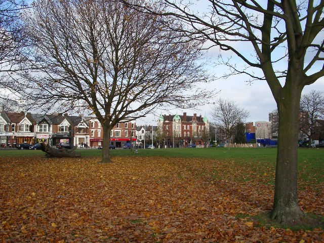
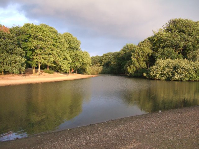
Aldersbrook is a suburban area located in the London Borough of Redbridge, Essex, England. Situated in the eastern part of London, it is a residential district known for its serene and leafy surroundings. The area is bordered by Wanstead Flats to the south, a vast open space that forms part of Epping Forest. This proximity to nature makes Aldersbrook an attractive and peaceful place to live.

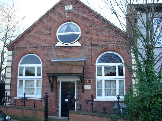
The architecture in Aldersbrook primarily consists of Victorian and Edwardian houses, giving the neighborhood a charming and traditional feel. Many of these properties have been well-preserved, adding to the area's character. The streets are lined with beautiful trees and well-maintained gardens, contributing to the overall aesthetic appeal of the district.

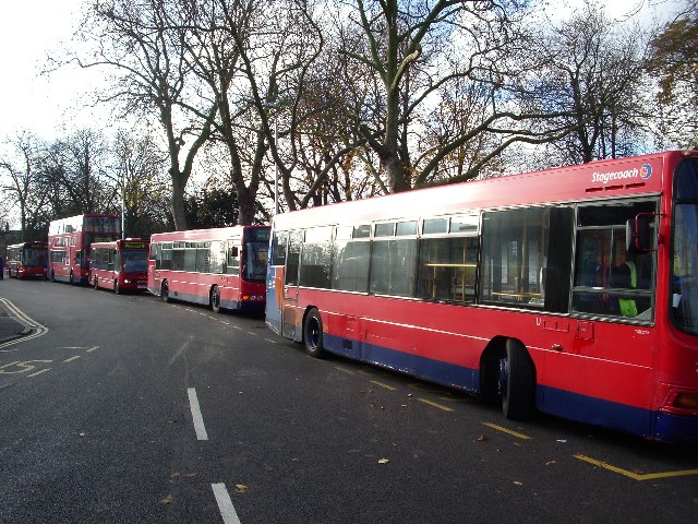
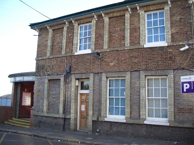
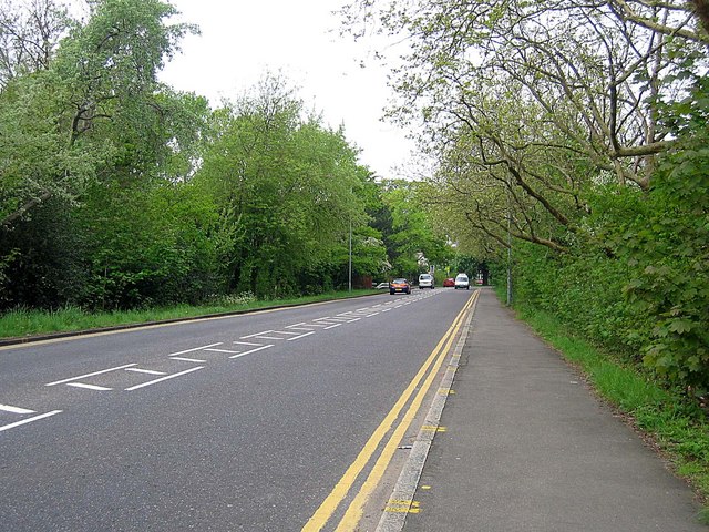
Aldersbrook benefits from excellent transport links, with Manor Park railway station providing convenient access to central London and other parts of Essex. Additionally, several bus routes serve the area, ensuring residents have easy connections to neighboring districts. The area is also well-served by schools, including Aldersbrook Primary School, which has a good reputation.

Residents of Aldersbrook enjoy a range of amenities, including local shops, supermarkets, and restaurants. Wanstead Park, a picturesque green space, is within walking distance and offers opportunities for leisure activities such as walking, jogging, and picnicking.

Overall, Aldersbrook is a sought-after residential area with a strong sense of community and a peaceful atmosphere. Its attractive architecture, proximity to nature, and convenient transport links make it a desirable place to live in Essex.

If you have any feedback on the listing, please let us know in the comments section below.
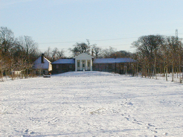
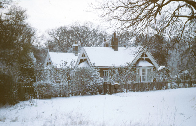
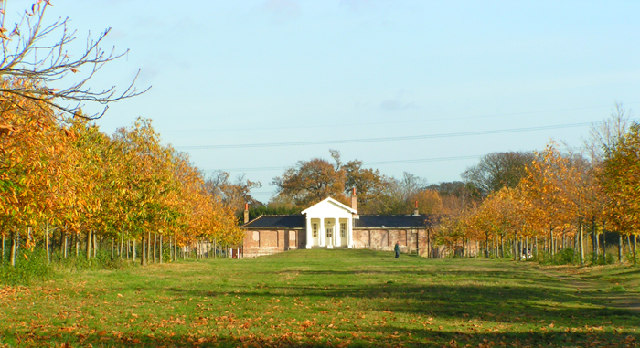
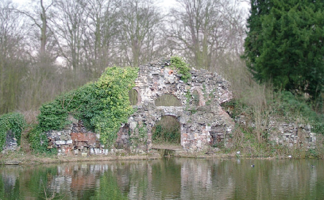
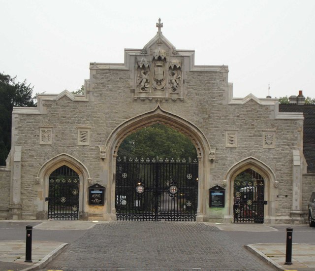
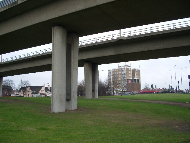
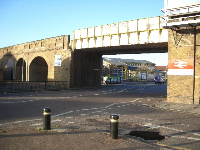
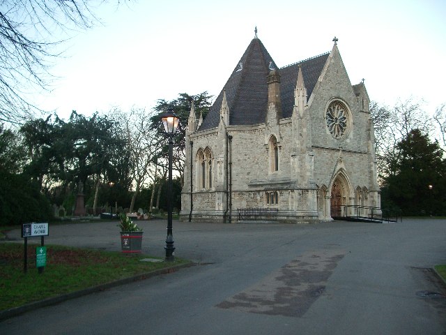
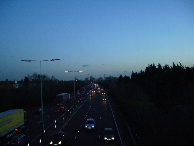
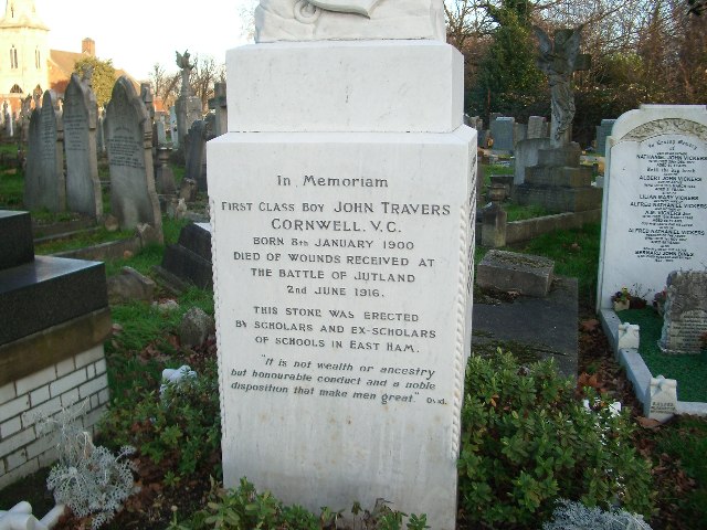
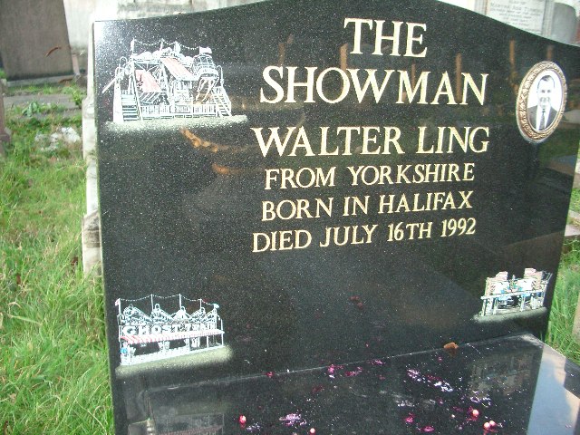
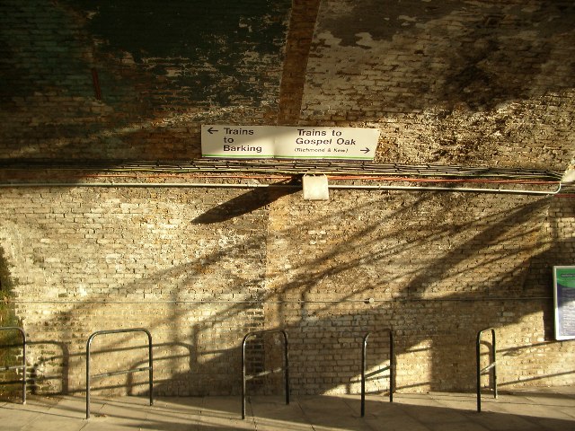
Aldersbrook Images

Images are sourced within 2km of 51.565177/0.028569 or Grid Reference TQ4087. Thanks to Geograph Open Source API. All images are credited.

The Temple. Wanstead Park The Temple was built around 1760 as a garden house on the estate surrounding Wanstead House.
The Temple. Wanstead Park
The Temple was built around 1760 as a garden house on the estate surrounding Wanstead House.
Keepers Lodge, Bushwood Built in 1881 as accommodation for Forest Keepers employed in Epping Forest
Keepers Lodge, Bushwood
Built in 1881 as accommodation for Forest Keepers employed in Epping Forest
The Temple Wanstead Park A garden house built in the 1760's by the owner of Wanstead House.
The Temple Wanstead Park
A garden house built in the 1760's by the owner of Wanstead House.
The Grotto, Wanstead park Built in the 1760's during the refurbishment of the gardens the Grotto was a boathouse with a facade of a grotto with a room above the boat dock decorated with coloured glass and flourespar set in the walls and ceilings. There were candles set in alcoves with mirrors set behind to reflect the light and the floor was set with geometric patterns of coloured pebbles. there were two fires in the early 1900's which turned the building into an attractive ruin.
The Grotto, Wanstead park
Built in the 1760's during the refurbishment of the gardens the Grotto was a boathouse with a facade of a grotto with a room above the boat dock decorated with coloured glass and flourespar set in the walls and ceilings. There were candles set in alcoves with mirrors set behind to reflect the light and the floor was set with geometric patterns of coloured pebbles. there were two fires in the early 1900's which turned the building into an attractive ruin.
Dawn at Wanstead Flats Wanstead Flats which in the 18c was called Wanstead Heath was drained and levelled at the beginning of the 20c to provide 60 football pitches for local teams. Fortunately an equivalent area was allowed to grow wild and is now a valuable breeding site for skylarks.
Dawn at Wanstead Flats
Wanstead Flats which in the 18c was called Wanstead Heath was drained and levelled at the beginning of the 20c to provide 60 football pitches for local teams. Fortunately an equivalent area was allowed to grow wild and is now a valuable breeding site for skylarks.
City of London Cemetery Gates The gates to the cemetery have just be cleaned and refurbished. The cemetery was opened in 1856 on the site of the former Aldersbrook Farm to provide burial space needed as the cemeteries in the City of London were almost full. The cemetery has seven other listed buildings inside the gates
City of London Cemetery Gates
The gates to the cemetery have just be cleaned and refurbished. The cemetery was opened in 1856 on the site of the former Aldersbrook Farm to provide burial space needed as the cemeteries in the City of London were almost full. The cemetery has seven other listed buildings inside the gates
George Green, Wanstead, London E11 This was the scene of sit-ins and violent protest during the construction of the A12(M) link road connecting M11 with central London. The new road passes under the green in a cut-and-cover tunnel.  The old log on the left marks the site of a huge ancient oak tree which was felled during construction.  The view is looking north to The George public house (centre) and Wanstead tube station (right)
George Green, Wanstead, London E11
This was the scene of sit-ins and violent protest during the construction of the A12(M) link road connecting M11 with central London. The new road passes under the green in a cut-and-cover tunnel. The old log on the left marks the site of a huge ancient oak tree which was felled during construction. The view is looking north to The George public house (centre) and Wanstead tube station (right)
Woodbine Place, Wanstead, E11 Buses resting at Woodbine Place. Don't suppose the name derives from the drivers' habit of having a smoke between trips!
Woodbine Place, Wanstead, E11
Buses resting at Woodbine Place. Don't suppose the name derives from the drivers' habit of having a smoke between trips!
Snaresbrook Station, London E11 Opened in 1856 by the Eastern Counties Railway, Snaresbrook station is on the Epping branch which was converted to become the underground Central Line in 1947.
Snaresbrook Station, London E11
Opened in 1856 by the Eastern Counties Railway, Snaresbrook station is on the Epping branch which was converted to become the underground Central Line in 1947.
No red bridge at Redbridge Redbridge roundabout looking east. The original red bridge spanned the Roding a short distance to our left. The flyover carries the M11 north and the A406 south towards a possible future Thames river crossing. Redbridge tube station is centre-right. This stretch of the Central Line opened in 1947; the tunnels had been constructed before the war and were used as a munitions assembly plant during the war.
No red bridge at Redbridge
Redbridge roundabout looking east. The original red bridge spanned the Roding a short distance to our left. The flyover carries the M11 north and the A406 south towards a possible future Thames river crossing. Redbridge tube station is centre-right. This stretch of the Central Line opened in 1947; the tunnels had been constructed before the war and were used as a munitions assembly plant during the war.
Wanstead Park station Wanstead Park station and railway arches on the little-used Gospel Oak to Barking line.  Occasionally a two-car dmu putters through, but not very predictably.
Wanstead Park station
Wanstead Park station and railway arches on the little-used Gospel Oak to Barking line. Occasionally a two-car dmu putters through, but not very predictably.
No longer God's Home This 1921 non-conformist chapel standing at the entrance to Manor Park Cemetery has been converted into a modern home.
No longer God's Home
This 1921 non-conformist chapel standing at the entrance to Manor Park Cemetery has been converted into a modern home.
City of London Cemetery Chapel in the City of London Cemetery, Manor Park, E12
City of London Cemetery
Chapel in the City of London Cemetery, Manor Park, E12
Dusk on the Four-O-Six Dusk falls as traffic thunders under the footbridge to Wanstead Park along the A406, formerly known as 'The South Woodford to Barking Relief Road', now part of the North Circular Road.
Dusk on the Four-O-Six
Dusk falls as traffic thunders under the footbridge to Wanstead Park along the A406, formerly known as 'The South Woodford to Barking Relief Road', now part of the North Circular Road.
Resting place of  a boy hero 16 year old John Cornwell was killed at the Battle of Jutland and was awarded a posthumous Victoria Cross.  His grave is in Manor Park Cemetery, London E12
Resting place of a boy hero
16 year old John Cornwell was killed at the Battle of Jutland and was awarded a posthumous Victoria Cross. His grave is in Manor Park Cemetery, London E12
Possible means of escape ? Ghost Train (lower left) engraved on a grave in Manor Park Cemetery.
Possible means of escape ?
Ghost Train (lower left) engraved on a grave in Manor Park Cemetery.
Underneath the arches Its time to make a decision; Barking or Gospel Oak (with the possibility of maybe reaching Richmond or Kew) at Wanstead Park station.
Underneath the arches
Its time to make a decision; Barking or Gospel Oak (with the possibility of maybe reaching Richmond or Kew) at Wanstead Park station.
Lake and wood in Wanstead Flats Whilst most of Wanstead Flats is grassland, waterfowl may be found on this lake.
Lake and wood in Wanstead Flats
Whilst most of Wanstead Flats is grassland, waterfowl may be found on this lake.
Show me another place!

Aldersbrook is located at Grid Ref: TQ4087 (Lat: 51.565177, Lng: 0.028569)

Unitary Authority: Redbridge

Police Authority: Metropolitan

What 3 Words

///nests.pack.paper. Near Ilford, London

Related Wikis

Nearby Amenities

Located within 500m of 51.565177,0.028569
Mini Roundabout
Direction: clockwise
Lat/Long: 51.5637082/0.0250259
Mini Roundabout
Direction: clockwise
Lat/Long: 51.5642701/0.0249867
Noexit: yes
Lat/Long: 51.5638575/0.0283134
Fuel
Aldersbrook Esso Service Station
Addr Housenumber: 19
Addr Street: Aldersbrook Road
Brand: Esso
Brand Wikidata: Q867662
Contact Website: https://www.esso.co.uk/en-gb/find-station/esso-wanstead-essoegaldersbrook-100200361
Operator: Esso
Source Addr Housenumber: Survey 2022-05-10
Lat/Long: 51.5624466/0.0336905
Post Box
Brand: Royal Mail
Brand Wikidata: Q638098
Collection Times: Mo-Fr 17:30; Sa 11:30
Operator: Royal Mail
Operator Wikidata: Q638098
Post Box Design: type_a
Post Box Type: pillar
Ref: E12 20
Royal Cypher: EIIR
Royal Cypher Wikidata: Q33102113
Source: survey
Lat/Long: 51.5649607/0.0326783
Atm
Lat/Long: 51.5622821/0.0335698
Crossing
Button Operated: yes
Crossing: traffic_signals
Crossing Island: no
Crossing Markings: dots
Crossing Ref: pelican
Tactile Paving: yes
Traffic Signals Sound: yes
Traffic Signals Vibration: yes
Lat/Long: 51.566045/0.024879
Bus Stop
Blake Hall Crescent
Bench: yes
Bin: yes
Bus: yes
Local Ref: S
Naptan AtcoCode: 490004087N
Naptan Bearing: N
Naptan CommonName: Blake Hall Crescent
Naptan Indicator: Stop S
Naptan Street: BLAKE HALL ROAD
Public Transport: platform
Ref: 71229
Shelter: yes
Source Ref: naptan
Tactile Paving: no
Lat/Long: 51.5666145/0.0246156
Bus Stop
Blake Hall Crescent
Bench: yes
Bin: yes
Bus: yes
Lit: yes
Local Ref: A
Naptan AtcoCode: 490004087S
Naptan Bearing: S
Naptan CommonName: Blake Hall Crescent
Naptan Indicator: Stop A
Naptan Street: BLAKE HALL ROAD
Public Transport: platform
Ref: 56214
Shelter: yes
Source Ref: naptan
Tactile Paving: no
Lat/Long: 51.5656844/0.0249827
Bus Stop
Windsor Road
Bench: yes
Bin: yes
Lit: yes
Local Ref: T
Naptan AtcoCode: 490008910E
Naptan Bearing: E
Naptan CommonName: Lake House Road Windsor Road
Naptan Indicator: Stop T
Naptan Street: LAKE HOUSE ROAD
Public Transport: platform
Shelter: yes
Tactile Paving: no
Lat/Long: 51.5634957/0.0244455
Bus Stop
Windsor Road
Bench: yes
Bin: yes
Bus: yes
Lit: yes
Local Ref: U
Naptan AtcoCode: 490008910W
Naptan Bearing: W
Naptan CommonName: Lake House Road Windsor Road
Naptan Indicator: Stop U
Naptan Street: LAKE HOUSE ROAD
Public Transport: platform
Shelter: yes
Tactile Paving: no
Lat/Long: 51.5632477/0.024326
Bus Stop
Park Road
Bench: yes
Bin: yes
Bus: yes
Lit: yes
Local Ref: C
Naptan AtcoCode: 490010812E
Naptan Bearing: E
Naptan CommonName: Aldersbrook Park Road
Naptan Indicator: Stop C
Naptan Street: ALDERSBROOK ROAD
Public Transport: platform
Shelter: yes
Tactile Paving: no
Lat/Long: 51.5630347/0.03203
Bus Stop
Park Road
Bench: yes
Bin: no
Bus: yes
Lit: yes
Local Ref: P
Naptan AtcoCode: 490010812W
Naptan Bearing: W
Naptan CommonName: Aldersbrook Park Road
Naptan Indicator: Stop P
Naptan Street: ALDERSBROOK ROAD
Public Transport: platform
Shelter: yes
Tactile Paving: no
Lat/Long: 51.562891/0.0322687
Bus Stop
Queenswood Gardens
Bench: yes
Bin: yes
Bus: yes
Lit: yes
Local Ref: R
Naptan AtcoCode: 490011372N
Naptan Bearing: N
Naptan CommonName: Queenswood Gardens
Naptan Indicator: Stop R
Naptan Street: ALDERSBROOK ROAD
Public Transport: platform
Ref: 48002
Shelter: yes
Source Ref: naptan
Tactile Paving: no
Lat/Long: 51.563905/0.0255586
Bus Stop
Queenswood Gardens
Bench: yes
Bin: yes
Bus: yes
Lit: yes
Local Ref: B
Naptan AtcoCode: 490011372S
Naptan Bearing: S
Naptan CommonName: Queenswood Gardens
Naptan Indicator: Stop B
Naptan Street: ALDERSBROOK ROAD
Public Transport: platform
Ref: 72142
Shelter: yes
Source Ref: naptan
Tactile Paving: no
Lat/Long: 51.5639265/0.0257954
Noexit: yes
Lat/Long: 51.5641057/0.0275956
Post Box
Brand: Royal Mail
Brand Wikidata: Q638098
Collection Times: Mo-Fr 17:30; Sa 11:30
Operator: Royal Mail
Operator Wikidata: Q638098
Post Box Design: type_b
Post Box Type: pillar
Ref: E12 15
Royal Cypher: EVIIR
Royal Cypher Wikidata: Q33102324
Source: survey
Lat/Long: 51.5628448/0.033423
Post Box
Brand: Royal Mail
Brand Wikidata: Q638098
Collection Times: Mo-Fr 09:00; Sa 07:00
Operator: Royal Mail
Operator Wikidata: Q638098
Post Box Type: lamp
Ref: E11 59
Royal Cypher: EIIR
Royal Cypher Wikidata: Q33102113
Lat/Long: 51.5640267/0.0265487
Post Box
Brand: Royal Mail
Brand Wikidata: Q638098
Collection Times: Mo-Fr 09:00; Sa 07:00
Operator: Royal Mail
Operator Wikidata: Q638098
Post Box Type: lamp
Ref: E11 54D
Royal Cypher: EIIR
Royal Cypher Wikidata: Q33102113
Lat/Long: 51.5642939/0.0289428
Post Box
Brand: Royal Mail
Brand Wikidata: Q638098
Operator: Royal Mail
Operator Wikidata: Q638098
Post Box Design: type_b
Post Box Type: pillar
Ref: E11 48
Lat/Long: 51.5663286/0.0245922
Crossing
Bicycle: yes
Button Operated: yes
Crossing: traffic_signals
Crossing Island: no
Crossing Ref: toucan
Tactile Paving: yes
Lat/Long: 51.5628276/0.0332831
Post Box
Brand: Royal Mail
Brand Wikidata: Q638098
Collection Times: Mo-Fr 17:30; Sa 11:30
Operator: Royal Mail
Operator Wikidata: Q638098
Post Box Design: type_b
Post Box Type: pillar
Ref: E11 51
Royal Cypher: GR
Royal Cypher Wikidata: Q33102273
Lat/Long: 51.5633535/0.0240715
Barrier: entrance
Bicycle: yes
Foot: yes
Lat/Long: 51.5660757/0.0249796
Traffic Calming: island
Lat/Long: 51.5637813/0.0250268
Barrier: bollard
Bicycle: yes
Bollard: fixed
Foot: yes
Lat/Long: 51.5641488/0.0248442
Barrier: entrance
Foot: yes
Lat/Long: 51.5654653/0.0241594
Bench
Source: gps+mapnoter
Lat/Long: 51.5665769/0.0350511
Bench
Source: gps+mapnoter
Lat/Long: 51.5672164/0.030952
Aldersbrook
Place: neighbourhood
Wikidata: Q1800572
Lat/Long: 51.5641123/0.0334403
Crossing
Crossing: unmarked
Crossing Island: yes
Tactile Paving: yes
Lat/Long: 51.5629368/0.0326486
Public Bookcase
Little Library
Public Bookcase Type: wooden_cabinet
Lat/Long: 51.5662266/0.0242893
Removed Barrier: cycle_barrier
Lat/Long: 51.5650056/0.0214229
Noexit: yes
Lat/Long: 51.5629075/0.0322161
Crossing
Crossing: unmarked
Crossing Island: no
Tactile Paving: yes
Traffic Calming: table
Lat/Long: 51.5628311/0.0335424
Traffic Signals
Traffic Signals Direction: backward
Lat/Long: 51.5628109/0.0333472
Traffic Signals
Traffic Signals: signal
Traffic Signals Direction: forward
Lat/Long: 51.5628449/0.0332151
Entrance: home
Lat/Long: 51.5648639/0.021708
Entrance: home
Lat/Long: 51.5633379/0.0238539
Crossing
Crossing: unmarked
Crossing Island: no
Lat/Long: 51.563311/0.0240456
Crossing
Crossing: unmarked
Crossing Island: no
Tactile Paving: no
Lat/Long: 51.5627867/0.0231517
Entrance: home
Lat/Long: 51.5634721/0.0307267
Entrance: home
Lat/Long: 51.5634592/0.0304585
Entrance: home
Lat/Long: 51.5633687/0.0298492
Entrance: home
Lat/Long: 51.5633578/0.0295794
Entrance: home
Lat/Long: 51.5633481/0.0293091
Entrance: main
Lat/Long: 51.5645574/0.0290347
Entrance: main
Lat/Long: 51.5631306/0.0326505
Defibrillator
Emergency: defibrillator
Indoor: no
Ref GB The Circuit: 70F41D4E-F064-4C99-B6AE-B07A00DC7ADB
Lat/Long: 51.5636023/0.0326383
Entrance: main
Lat/Long: 51.5633734/0.0329421
Place Of Worship
Wat Buddharam
Religion: buddhist
Lat/Long: 51.5650872/0.0251953
Bicycle Parking
Bicycle Parking: stands
Capacity: 4
Covered: no
Lat/Long: 51.5627467/0.0333729
Noexit: yes
Lat/Long: 51.5632061/0.0280728
Crossing
Crossing: unmarked
Crossing Island: no
Kerb: lowered
Tactile Paving: no
Lat/Long: 51.5636305/0.0248112
Give Way
Direction: backward
Lat/Long: 51.562749/0.0232041
Give Way
Direction: backward
Lat/Long: 51.562806/0.0229962
Traffic Calming: island
Lat/Long: 51.5636377/0.0250584
Traffic Calming: island
Lat/Long: 51.5636728/0.0249141
Give Way
Direction: backward
Lat/Long: 51.5632773/0.0240976
Fast Food
Greggs
Addr City: London
Addr Housenumber: 19
Addr Postcode: E12 5HH
Addr Street: Aldersbrook Road
Addr Unit: Aldersbrook Service Station
Brand: Greggs
Brand Wikidata: Q3403981
Contact Website: https://www.greggs.co.uk/shop-finder?shop-code=3595
Cuisine: sandwich;bakery
Fhrs Id: 840139
Operator: Euro Garages Ltd (Greggs)
Shop: bakery
Source Addr Housenumber: Survey 2022-05-10
Takeaway: yes
Lat/Long: 51.5622691/0.0333796
Addr Flats: 1-6
Entrance: home
Lat/Long: 51.562399/0.0340217
Traffic Signals
Crossing: no
Traffic Signals: pedestrian_crossing
Traffic Signals Direction: backward
Lat/Long: 51.5660902/0.0248749
Entrance: home
Lat/Long: 51.5633031/0.0286495
Entrance: home
Lat/Long: 51.5634711/0.0286703
Entrance: home
Lat/Long: 51.5631811/0.0311813
Entrance: home
Lat/Long: 51.5631841/0.0312957
Entrance: home
Lat/Long: 51.5632757/0.0277032
Entrance: home
Lat/Long: 51.5633831/0.0277256
Noexit: yes
Lat/Long: 51.5637114/0.0281304
Crossing
Crossing: unmarked
Crossing Island: yes
Tactile Paving: yes
Lat/Long: 51.5636562/0.0261101
Noexit: yes
Lat/Long: 51.5636924/0.0262903
Entrance: home
Lat/Long: 51.5635863/0.0267239
Entrance: home
Lat/Long: 51.5635343/0.0266361
Entrance: home
Lat/Long: 51.5632861/0.0272634
Entrance: home
Lat/Long: 51.5633447/0.0271451
Entrance: home
Lat/Long: 51.5634214/0.0270257
Noexit: yes
Lat/Long: 51.5640672/0.0271654
Barrier: cycle_barrier
Lat/Long: 51.5639927/0.0275481
Entrance: home
Lat/Long: 51.5642067/0.0276196
Entrance: home
Lat/Long: 51.5645474/0.0276617
Entrance: home
Lat/Long: 51.5642209/0.0299411
Entrance: home
Lat/Long: 51.564075/0.0304593
Entrance: home
Lat/Long: 51.5641502/0.0304519
Entrance: home
Lat/Long: 51.5641386/0.0301566
Entrance: home
Lat/Long: 51.5645802/0.0294785
Entrance: home
Lat/Long: 51.564567/0.0296817
Telephone
Booth: KXPlus
Covered: booth
Lat/Long: 51.5630668/0.0316645
Entrance: yes
Lat/Long: 51.5643948/0.0313928
Entrance: yes
Lat/Long: 51.564155/0.0314095
Entrance: yes
Lat/Long: 51.563831/0.0314289
Entrance: yes
Lat/Long: 51.5635097/0.031461
Entrance: yes
Lat/Long: 51.563269/0.0314794
Crossing
Lat/Long: 51.5636201/0.0250665
Addr Housenumber: 10
Addr Street: St. Gabriel's Close
Entrance: home
Source Addr Housenumber: Survey 2022-05-18
Lat/Long: 51.5647638/0.0278901
Addr Housenumber: 11;12
Addr Street: St. Gabriel's Close
Building: house
Entrance: home
Source Addr Housenumber: Survey 2022-05-18
Lat/Long: 51.5647522/0.0279604
Addr Housenumber: 9
Addr Street: St. Gabriel's Close
Entrance: home
Source Addr Housenumber: Survey 2022-05-18
Lat/Long: 51.5647827/0.0279897
Addr Housenumber: 6
Addr Street: St. Gabriel's Close
Entrance: home
Source Addr Housenumber: Survey 2022-05-18
Lat/Long: 51.5647707/0.0281264
Addr Housenumber: 7;8
Addr Street: St. Gabriel's Close
Entrance: home
Source Addr Housenumber: Survey 2022-05-18
Lat/Long: 51.5647578/0.0281865
Addr Housenumber: 5
Addr Street: St. Gabriel's Close
Entrance: home
Source Addr Housenumber: Survey 2022-05-18
Lat/Long: 51.5647887/0.0282227
Addr Housenumber: 2
Addr Street: St. Gabriel's Close
Entrance: home
Source Addr Housenumber: Survey 2022-05-18
Lat/Long: 51.5647739/0.028347
Addr Housenumber: 3;4
Addr Street: St. Gabriel's Close
Entrance: home
Source Addr Housenumber: Survey 2022-05-18
Lat/Long: 51.5647623/0.0284116
Addr Housenumber: 1
Addr Street: St. Gabriel's Close
Entrance: home
Source Addr Housenumber: Survey 2022-05-18
Lat/Long: 51.564795/0.0284558
Addr Housenumber: 50
Addr Street: St. Gabriel's Close
Entrance: home
Source Addr Housenumber: Survey 2022-05-18
Lat/Long: 51.5639193/0.0281583
Addr Housenumber: 52-55
Addr Street: St. Gabriel's Close
Entrance: home
Source Addr Housenumber: Survey 2022-05-18
Lat/Long: 51.5639513/0.0281175
Addr Housenumber: 51
Addr Street: St. Gabriel's Close
Entrance: home
Source Addr Housenumber: Survey 2022-05-18
Lat/Long: 51.5639375/0.0280516
Addr Housenumber: 44
Addr Street: St. Gabriel's Close
Entrance: home
Source Addr Housenumber: Survey 2022-05-18
Lat/Long: 51.5639179/0.0279218
Addr Housenumber: 46-49
Addr Street: St. Gabriel's Close
Entrance: home
Source Addr Housenumber: Survey 2022-05-18
Lat/Long: 51.5639488/0.0278857
Addr Housenumber: 45
Addr Street: St. Gabriel's Close
Entrance: home
Source Addr Housenumber: Survey 2022-05-18
Lat/Long: 51.5639357/0.0278181
Addr Housenumber: 38
Addr Street: St. Gabriel's Close
Entrance: home
Source Addr Housenumber: Survey 2022-05-18
Lat/Long: 51.5641026/0.0278022
Addr Housenumber: 39-42
Addr Street: St. Gabriel's Close
Entrance: home
Source Addr Housenumber: Survey 2022-05-18
Lat/Long: 51.5640775/0.0278517
Addr Housenumber: 37
Addr Street: St. Gabriel's Close
Entrance: home
Source Addr Housenumber: Survey 2022-05-18
Lat/Long: 51.5641006/0.0279118
Addr Housenumber: 32
Addr Street: St. Gabriel's Close
Entrance: home
Source Addr Housenumber: Survey 2022-05-18
Lat/Long: 51.5641388/0.0280304
Addr Housenumber: 31
Addr Street: St. Gabriel's Close
Entrance: home
Source Addr Housenumber: Survey 2022-05-18
Lat/Long: 51.564137/0.0281359
Addr Housenumber: 33-36
Addr Street: St. Gabriel's Close
Entrance: home
Source Addr Housenumber: Survey 2022-05-18
Lat/Long: 51.564114/0.0280824
Addr Housenumber: 26
Addr Street: St. Gabriel's Close
Entrance: home
Source Addr Housenumber: Survey 2022-05-18
Lat/Long: 51.5643095/0.0282219
Addr Housenumber: 27-30
Addr Street: St. Gabriel's Close
Entrance: home
Source Addr Housenumber: Survey 2022-05-18
Lat/Long: 51.5643417/0.028257
Addr Housenumber: 25
Addr Street: St. Gabriel's Close
Entrance: home
Source Addr Housenumber: Survey 2022-05-18
Lat/Long: 51.564371/0.0282248
Addr Housenumber: 20
Addr Street: St. Gabriel's Close
Entrance: home
Source Addr Housenumber: Survey 2022-05-18
Lat/Long: 51.5644419/0.0282911
Addr Housenumber: 21-24
Addr Street: St. Gabriel's Close
Entrance: home
Source Addr Housenumber: Survey 2022-05-18
Lat/Long: 51.5644767/0.0283273
Addr Housenumber: 19
Addr Street: St. Gabriel's Close
Entrance: home
Source Addr Housenumber: Survey 2022-05-18
Lat/Long: 51.5645141/0.0282904
Addr Housenumber: 14
Addr Street: St. Gabriel's Close
Entrance: home
Source Addr Housenumber: Survey 2022-05-18
Lat/Long: 51.5645994/0.0281574
Addr Housenumber: 13
Addr Street: St. Gabriel's Close
Entrance: home
Source Addr Housenumber: Survey 2022-05-18
Lat/Long: 51.5646015/0.0280403
Addr Housenumber: 15-18
Addr Street: St. Gabriel's Close
Entrance: home
Source Addr Housenumber: Survey 2022-05-18
Lat/Long: 51.5646244/0.0281035
Entrance: home
Lat/Long: 51.5637829/0.0298416
Entrance: home
Lat/Long: 51.5637591/0.0292023
Entrance: home
Lat/Long: 51.5637613/0.0292604
Entrance: home
Lat/Long: 51.5637658/0.0293821
Entrance: home
Lat/Long: 51.5637683/0.0294485
Entrance: home
Lat/Long: 51.5637731/0.0295774
Entrance: home
Lat/Long: 51.5637752/0.0296336
Entrance: home
Lat/Long: 51.5639169/0.0294049
Entrance: home
Lat/Long: 51.5639208/0.0295154
Entrance: home
Lat/Long: 51.563925/0.0296348
Entrance: home
Lat/Long: 51.5636006/0.0299948
Entrance: home
Lat/Long: 51.5640915/0.0299541
Entrance: home
Lat/Long: 51.5641824/0.029076
Entrance: home
Lat/Long: 51.5641069/0.0290717
Entrance: home
Lat/Long: 51.5640381/0.0290679
Entrance: home
Lat/Long: 51.5639659/0.0290637
Entrance: home
Lat/Long: 51.5642797/0.0294302
Entrance: home
Lat/Long: 51.5642838/0.0295448
Entrance: home
Lat/Long: 51.5642878/0.0296567
Entrance: home
Lat/Long: 51.5644495/0.0298798
Entrance: home
Lat/Long: 51.5644537/0.0299937
Entrance: home
Lat/Long: 51.5644575/0.030098
Entrance: home
Lat/Long: 51.5644618/0.0302132
Entrance: home
Lat/Long: 51.5639428/0.0302534
Entrance: home
Lat/Long: 51.5638759/0.0302604
Entrance: home
Lat/Long: 51.5638048/0.0302678
Entrance: home
Lat/Long: 51.5637323/0.0302753
Bicycle Parking
Bicycle Parking: stands
Capacity: 4
Check Date: 2022-06-25
Covered: no
Lat/Long: 51.5653482/0.0327226
Bicycle Parking
Bicycle Parking: stands
Capacity: 4
Covered: no
Fixme: Precise location needs to be checked with a gps survey
Lat/Long: 51.5661351/0.0250894
Check Date: 2022-06-25
Information: map
Tourism: information
Lat/Long: 51.5653751/0.032724
Bicycle Parking
Bicycle Parking: stands
Capacity: 4
Covered: no
Lat/Long: 51.5633531/0.03293
Bench
Backrest: yes
Lat/Long: 51.5633979/0.0329231
Bicycle Parking
Bicycle Parking: stands
Capacity: 5
Covered: no
Lat/Long: 51.5636484/0.032659
Traffic Signals
Crossing: no
Traffic Signals: pedestrian_crossing
Traffic Signals Direction: forward
Lat/Long: 51.5660013/0.0248811
Cafe
Chaiiwala
Addr City: London
Addr Housenumber: 19
Addr Postcode: E12 5HH
Addr Street: Aldersbrook Road
Addr Unit: Aldersbrook Service Station
Cuisine: indian
Fhrs Id: 1531430
Source Addr Housenumber: Survey 2022-11-13
Takeaway: only
Lat/Long: 51.5622912/0.0333329
Fast Food
Cinnabon
Addr City: London
Addr Housenumber: 19
Addr Postcode: E12 5HH
Addr Street: Aldersbrook Road
Addr Unit: Aldersbrook Service Station
Brand: Cinnabon
Brand Wikidata: Q1092539
Cuisine: dessert
Source Addr Housenumber: Survey 2022-11-13
Takeaway: yes
Lat/Long: 51.5623116/0.0334316
Fast Food
Leon Coffee
Addr City: London
Addr Housenumber: 19
Addr Postcode: E12 5HH
Addr Street: Aldersbrook Road
Addr Unit: Aldersbrook Service Station
Brand: LEON
Brand Wikidata: Q6524851
Cuisine: coffee_shop
Source Addr Housenumber: Survey 2022-11-13
Takeaway: yes
Lat/Long: 51.5623337/0.0333849
Ref GB Tflcid: RWG168441
Traffic Calming: hump
Lat/Long: 51.5641678/0.0327829
Ref GB Tflcid: RWG168440
Traffic Calming: hump
Lat/Long: 51.5635724/0.0327881
Ref GB Tflcid: RWG167295
Traffic Calming: cushion
Lat/Long: 51.5651607/0.0331211
Ref GB Tflcid: RWG168444
Traffic Calming: hump
Lat/Long: 51.5644021/0.0342815
Ref GB Tflcid: RWG167289
Traffic Calming: hump
Lat/Long: 51.5649978/0.0323571
Ref GB Tflcid: RWG168443
Traffic Calming: hump
Lat/Long: 51.5648875/0.0342746
Ref GB Tflcid: RWG167291
Traffic Calming: hump
Lat/Long: 51.5647936/0.0327775
Ref GB Tflcid: RWG168445
Traffic Calming: hump
Lat/Long: 51.563957/0.0342878
Traffic Calming: island
Lat/Long: 51.5642471/0.0251058
Traffic Calming: island
Lat/Long: 51.5643743/0.0249651
Traffic Calming: island
Lat/Long: 51.5641832/0.0249645
Give Way
Direction: forward
Lat/Long: 51.5662886/0.0247637
Give Way
Direction: forward
Lat/Long: 51.566141/0.0243533
Barrier: bollard
Lat/Long: 51.5650013/0.0214357
Kerb: lowered
Lat/Long: 51.5649618/0.0214412
The data included in this document is from www.openstreetmap.org. The data is made available under ODbL.

Have you been to Aldersbrook?

Leave your review of Aldersbrook below (or comments, questions and feedback).