Alder's End
Settlement in Herefordshire
England
Alder's End
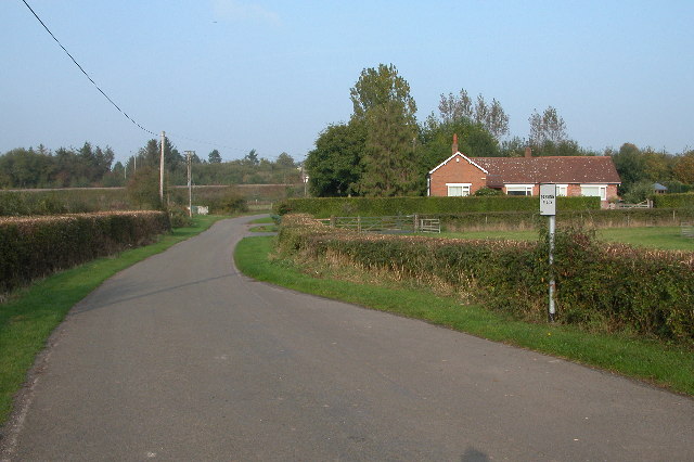
Alder's End is a quaint village located in the county of Herefordshire, in the West Midlands region of England. Nestled amidst rolling hills and lush green landscapes, this idyllic village offers a peaceful and picturesque setting.
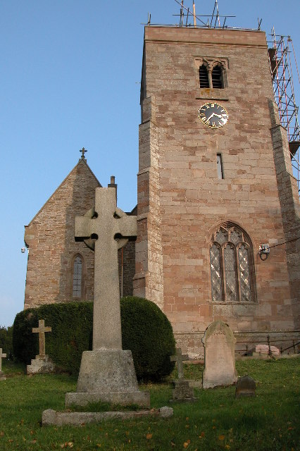
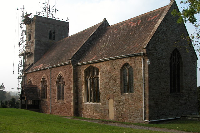
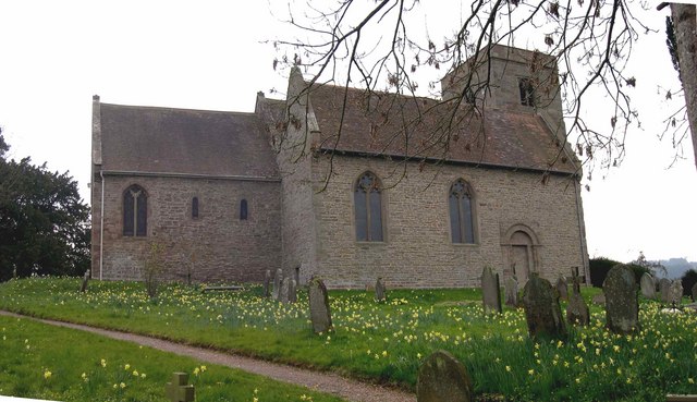
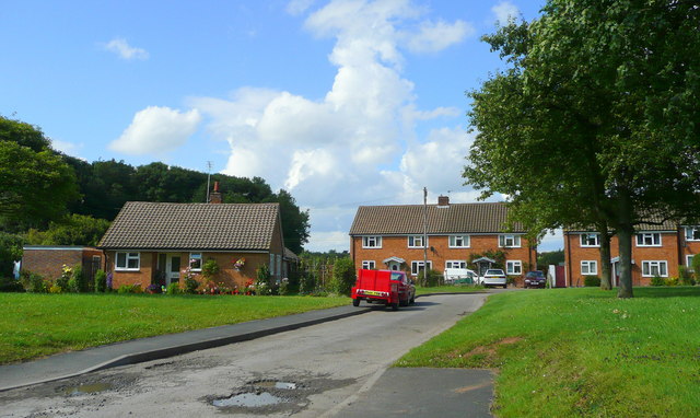
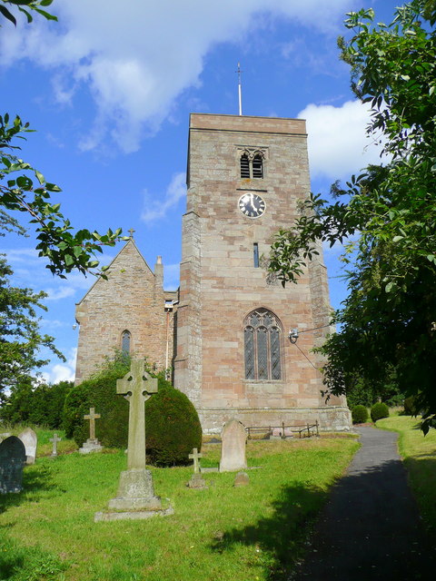
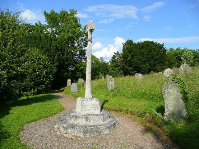
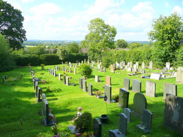
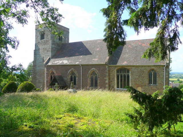
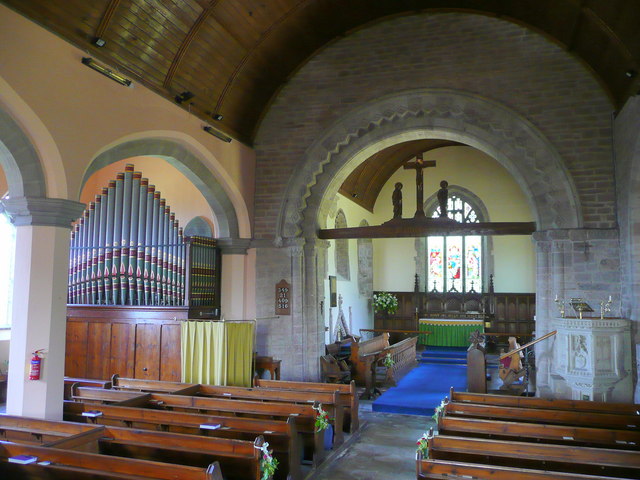
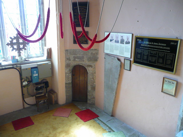
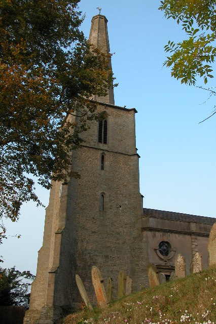
With a population of approximately 500 residents, Alder's End exudes a strong sense of community and charm. The village is characterized by its traditional architecture, featuring beautiful stone cottages and historic buildings that line its narrow streets. The local church, St. Mary's, is a prominent landmark and dates back to the 12th century.
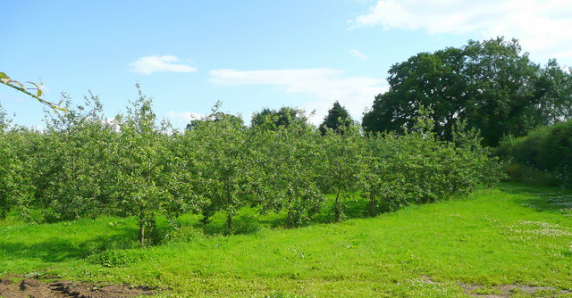
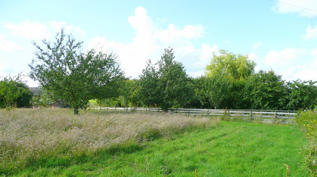
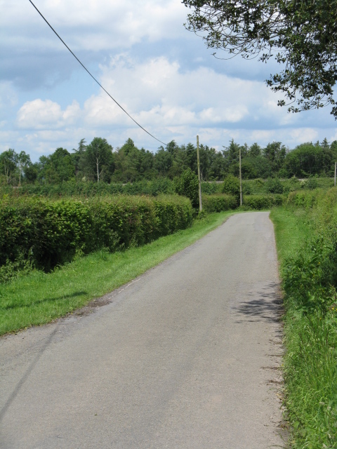
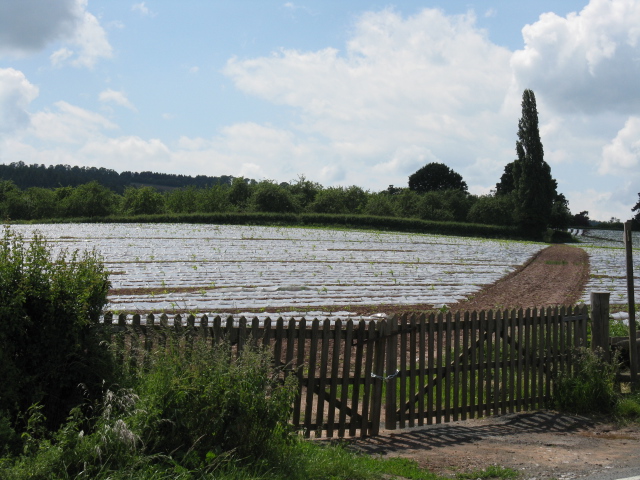
Nature lovers are drawn to Alder's End for its scenic beauty and abundant wildlife. The village is surrounded by stunning countryside, providing ample opportunities for outdoor activities such as hiking, cycling, and birdwatching. The nearby River Wye also offers a tranquil spot for fishing and boating enthusiasts.
Despite its small size, Alder's End boasts a few amenities for its residents and visitors. There is a cozy village pub, The Alder's Inn, which offers traditional pub fare and a warm atmosphere. Additionally, there is a small village shop that caters to everyday needs.
Alder's End is ideally situated for those seeking a peaceful retreat away from the hustle and bustle of city life. Its proximity to the bustling market town of Hereford, just a short drive away, provides access to a wider range of amenities, including shops, restaurants, and cultural attractions.
In summary, Alder's End is a charming village in Herefordshire that offers a harmonious blend of natural beauty, community spirit, and tranquility, making it an ideal destination for those seeking a slower pace of life in a picturesque setting.
If you have any feedback on the listing, please let us know in the comments section below.
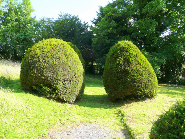
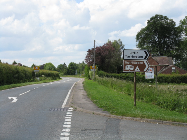
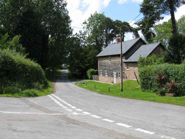
Alder's End Images
Images are sourced within 2km of 52.04808/-2.5555199 or Grid Reference SO6239. Thanks to Geograph Open Source API. All images are credited.
Alder's End is located at Grid Ref: SO6239 (Lat: 52.04808, Lng: -2.5555199)
Unitary Authority: County of Herefordshire
Police Authority: West Mercia
What 3 Words
///tempting.famines.educates. Near Lugwardine, Herefordshire
Nearby Locations
Related Wikis

Alder's End
Alder's End is a small village in Herefordshire, England. It is about 8 miles (13 km) east of Hereford and is near the A438 road. The village falls within...
Tarrington
Tarrington is a small village in Herefordshire, England located halfway between Ledbury and Hereford on the A438 road. == The village == The village has...

Stoke Edith railway station
Stoke Edith railway station was a station in Tarrington, Herefordshire, England. The station served the nearby village of Stoke Edith, was opened in 1861...

Putley
Putley is a village and civil parish 8 miles (13 km) east of Hereford, in the county of Herefordshire, England. In 2011 the parish had a population of...
Perton, Herefordshire
Perton is a hamlet in the English county of Herefordshire. It is in the civil parish of Stoke Edith being west of the village of that name. == External... ==
Stoke Edith
Stoke Edith is a village in the English county of Herefordshire, situated on the A438 road between Hereford and Ledbury. The population in 1801 of Stoke...

Ashperton railway station
Ashperton railway station was a railway station serving the village of Ashperton in Herefordshire, England. It was located on what is now known as the...

Ashperton
Ashperton is a small village, parish and former manor about twelve miles east of the City of Hereford, in Herefordshire, England. The village is on the...
Have you been to Alder's End?
Leave your review of Alder's End below (or comments, questions and feedback).