Alder's End
Wood, Forest in Herefordshire
England
Alder's End
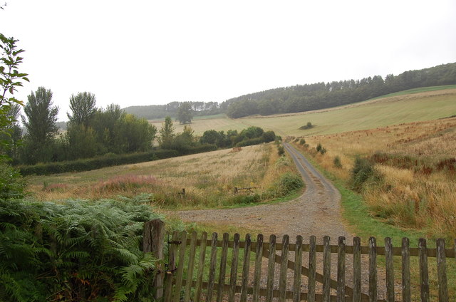
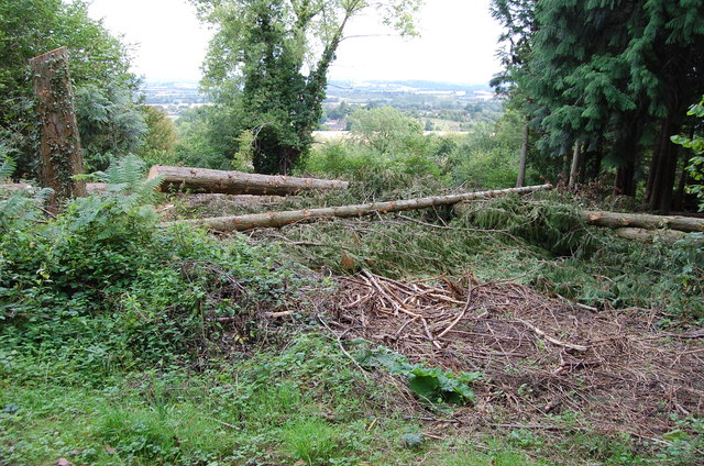
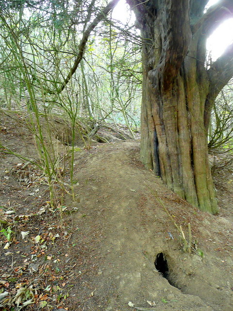
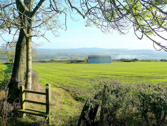
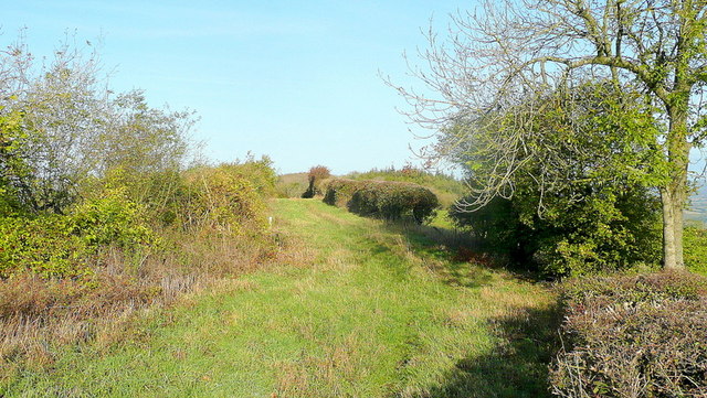
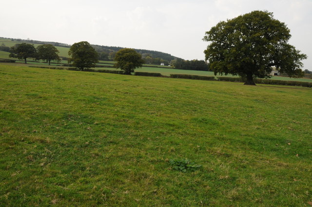
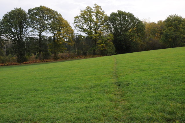
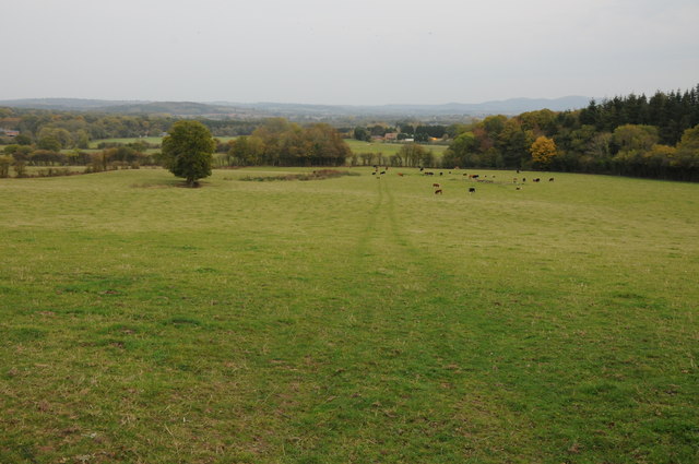
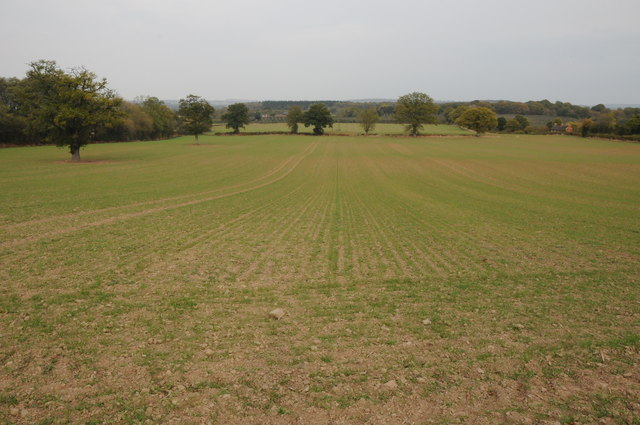
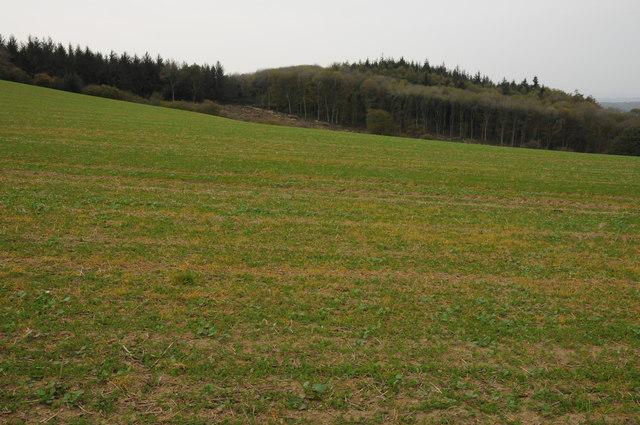
Alder's End is a picturesque wood located in the county of Herefordshire, England. Nestled in the heart of the region, this enchanting forest covers an area of approximately 200 hectares. It is renowned for its rich biodiversity and tranquil atmosphere, making it a popular destination for nature enthusiasts and hikers alike.
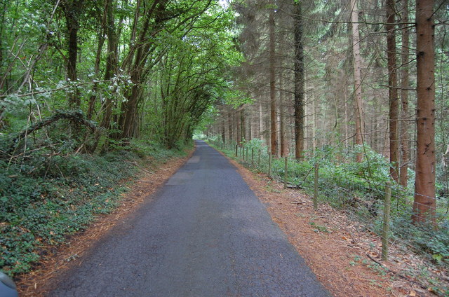
The wood is primarily composed of alder trees, hence the name Alder's End. These majestic trees, with their distinctively serrated leaves and slender trunks, dominate the landscape, creating a dense canopy that provides shade and shelter for a diverse range of flora and fauna.
Walking through Alder's End, one can observe a plethora of plant species, including bluebells, primroses, and wild garlic, which carpet the forest floor in vibrant hues during the spring season. The wood is also home to a variety of ferns, mosses, and lichens, adding to its lush and verdant appeal.
Wildlife thrives in this haven of natural beauty, with sightings of deer, squirrels, and foxes being common occurrences. Birdsong fills the air as numerous avian species, such as woodpeckers, owls, and warblers, find sanctuary within the wood's leafy embrace.
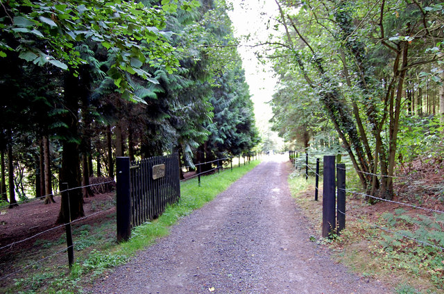
Visitors to Alder's End can explore its many walking trails, which wind through the ancient woodland, offering breathtaking views and a chance to reconnect with nature. The forest also features picnic areas and designated camping sites, allowing visitors to immerse themselves fully in the tranquil ambiance of this untouched natural gem.
In conclusion, Alder's End in Herefordshire is a captivating wood that showcases the beauty of England's countryside. Its diverse ecosystem and scenic trails make it a must-visit destination for anyone seeking solace in the serenity of nature.
If you have any feedback on the listing, please let us know in the comments section below.
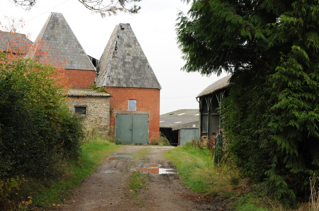
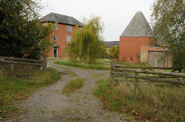
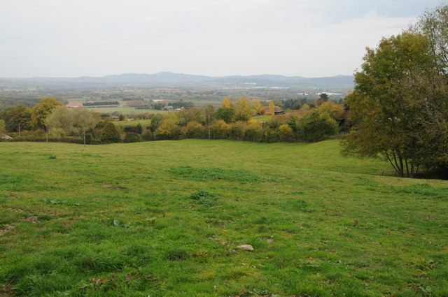
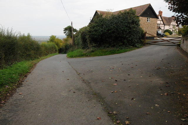
Alder's End Images
Images are sourced within 2km of 52.055098/-2.5523839 or Grid Reference SO6239. Thanks to Geograph Open Source API. All images are credited.

Alder's End is located at Grid Ref: SO6239 (Lat: 52.055098, Lng: -2.5523839)
Unitary Authority: County of Herefordshire
Police Authority: West Mercia
What 3 Words
///disbanded.inform.spill. Near Lugwardine, Herefordshire
Nearby Locations
Related Wikis

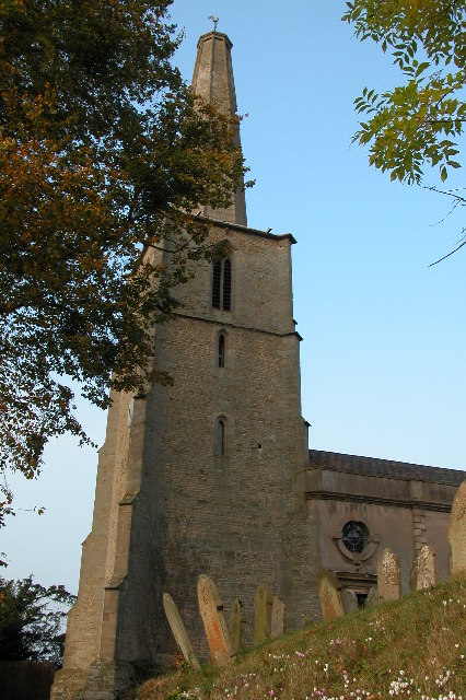
Alder's End
Alder's End is a small village in Herefordshire, England. It is about 8 miles (13 km) east of Hereford and is near the A438 road. The village falls within...
Tarrington
Tarrington is a small village in Herefordshire, England located halfway between Ledbury and Hereford on the A438 road. == The village == The village has...

Stoke Edith railway station
Stoke Edith railway station was a station in Tarrington, Herefordshire, England. The station served the nearby village of Stoke Edith, was opened in 1861...
Stoke Edith
Stoke Edith is a village in the English county of Herefordshire, situated on the A438 road between Hereford and Ledbury. The population in 1801 of Stoke...
Perton, Herefordshire
Perton is a hamlet in the English county of Herefordshire. It is in the civil parish of Stoke Edith being west of the village of that name. == External... ==

Ashperton
Ashperton is a small village, parish and former manor about twelve miles east of the City of Hereford, in Herefordshire, England. The village is on the...

Ashperton railway station
Ashperton railway station was a railway station serving the village of Ashperton in Herefordshire, England. It was located on what is now known as the...

Putley
Putley is a village and civil parish 8 miles (13 km) east of Hereford, in the county of Herefordshire, England. In 2011 the parish had a population of...
Nearby Amenities
Located within 500m of 52.055098,-2.5523839Have you been to Alder's End?
Leave your review of Alder's End below (or comments, questions and feedback).