Moor's Wood

Wood, Forest in Somerset Mendip

England

Moor's Wood

Direction Sign – Signpost on Turner's Court Lane, Emborough Located west of Turner's Court Lane and west of Portway Bridge in Emborough parish. 4 arms and pyramid finial. Google Earth shows that the Emborough / Chewton Mendip arm and the finial were missing in 2011.

Milestone Society National ID: SO_ST6250
Direction Sign – Signpost on Turner's Court Lane, Emborough Credit: R Raynsford

Moor's Wood is a picturesque woodland area located in Somerset, England. Covering an area of approximately 100 acres, it is known for its dense and diverse vegetation, making it a haven for wildlife and nature enthusiasts alike.

The wood is primarily composed of a mix of broadleaf trees, including oak, beech, and ash, which create a stunning canopy during the summer months. The forest floor is adorned with a rich carpet of bluebells, wild garlic, and ferns, providing a vibrant and colorful display in spring.

Moor's Wood offers a network of well-maintained trails that wind their way through the forest, allowing visitors to explore the area at their own pace. These paths are suitable for both walking and cycling, making it an ideal destination for outdoor enthusiasts of all ages.

The woodland is home to a variety of wildlife, including deer, foxes, and a wide array of bird species. Birdwatchers will be delighted to spot woodpeckers, buzzards, and tawny owls among the trees. The tranquil setting and abundance of wildlife make Moor's Wood a popular spot for nature photography and birdwatching.

Visitors to Moor's Wood can also take advantage of the well-appointed picnic areas and benches scattered throughout the forest, providing a peaceful setting to relax and enjoy the natural surroundings. Additionally, there is a small visitor center providing information about the local flora and fauna, as well as guided tours and educational programs for schools and community groups.

Overall, Moor's Wood is a stunning natural treasure, offering a tranquil escape and an opportunity to immerse oneself in the beauty of the Somerset countryside.

If you have any feedback on the listing, please let us know in the comments section below.
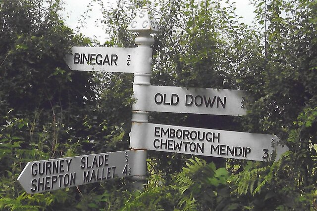
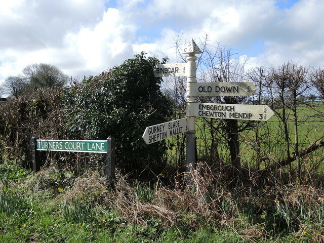
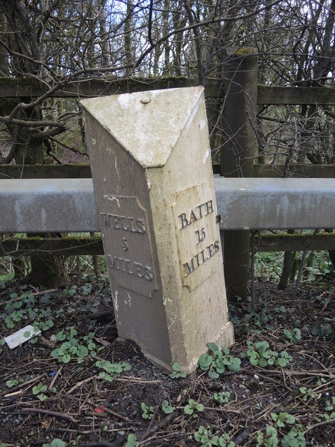
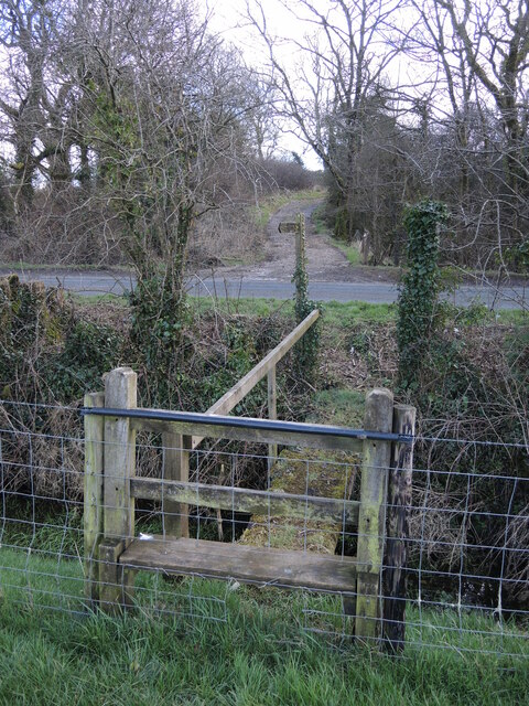
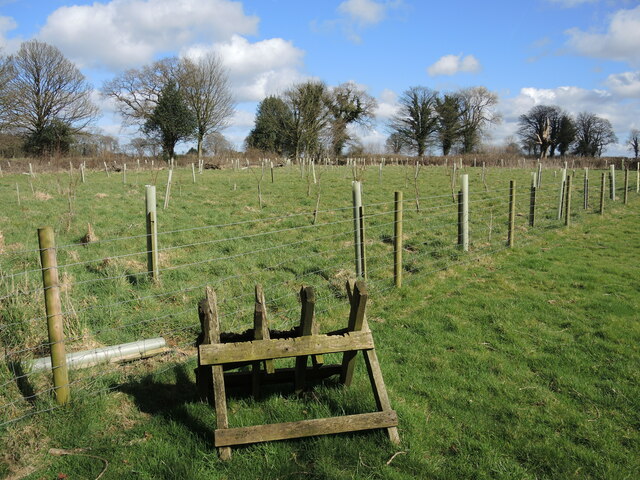
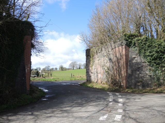
Moor's Wood Images

Images are sourced within 2km of 51.249629/-2.5426599 or Grid Reference ST6250. Thanks to Geograph Open Source API. All images are credited.

Direction Sign – Signpost on Turner's Court Lane, Emborough Located west of Turner's Court Lane and west of Portway Bridge in Emborough parish. 4 arms and pyramid finial. Google Earth shows that the Emborough / Chewton Mendip arm and the finial were missing in 2011.

Milestone Society National ID: SO_ST6250
Direction Sign – Signpost on Turner's Court Lane, Emborough
Located west of Turner's Court Lane and west of Portway Bridge in Emborough parish. 4 arms and pyramid finial. Google Earth shows that the Emborough / Chewton Mendip arm and the finial were missing in 2011. Milestone Society National ID: SO_ST6250
Patterns on Portway Bridge The blocks, shadows and a little graffiti on Portway Bridge.
Patterns on Portway Bridge
The blocks, shadows and a little graffiti on Portway Bridge.
Signpost on Turner's Court Lane Cast arms and embossed lettering on a traditional Somerset post.
Signpost on Turner's Court Lane
Cast arms and embossed lettering on a traditional Somerset post.
Lechmere Water A private fishing lake near Emborough, with the old boat house on the far shore. Its size has been reduced slightly from the nineteenth century.
Lechmere Water
A private fishing lake near Emborough, with the old boat house on the far shore. Its size has been reduced slightly from the nineteenth century.
Not enough hop An amphibian road kill near Lechmere Water.
Not enough hop
An amphibian road kill near Lechmere Water.
Growing by the drain It looks like the water is a continuous suppy and has allowed some brightly-coloured growth on the road surface.
Growing by the drain
It looks like the water is a continuous suppy and has allowed some brightly-coloured growth on the road surface.
Lechmere Water track Access to the lake is a muddy track.
Lechmere Water track
Access to the lake is a muddy track.
Emborough signpost At the junction of the B3139 and B3114 is a particularly rusty signpost, save the Emborough arm.
Emborough signpost
At the junction of the B3139 and B3114 is a particularly rusty signpost, save the Emborough arm.
An old barrow in the field This bowl barrow north of the B3139 is one of a few in the area. It is about 30m (98 ft) in diameter, 1.8m (6ft) high and has traces of a surrounding ditch. A scheduled monument, it may be from as early as the Neolithic period. See <a href="https://www.geograph.org.uk/photo/7146054">ST6050 : Trees on a tumulus</a> for another south of here.
An old barrow in the field
This bowl barrow north of the B3139 is one of a few in the area. It is about 30m (98 ft) in diameter, 1.8m (6ft) high and has traces of a surrounding ditch. A scheduled monument, it may be from as early as the Neolithic period. See ST6050 : Trees on a tumulus for another south of here.
Crashed and broken in half February's storms claim another victim.
Crashed and broken in half
February's storms claim another victim.
Stopping entry into Emborough Grove To the left of the road is a steep, wooded slope to the grove and the waters that supply Lechmere Water. A milepost stands on the near side of the barrier - see <a href="https://www.geograph.org.uk/photo/7146028">ST6050 : Milepost on the B3139</a>.
Stopping entry into Emborough Grove
To the left of the road is a steep, wooded slope to the grove and the waters that supply Lechmere Water. A milepost stands on the near side of the barrier - see ST6050 : Milepost on the B3139.
Milepost on the B3139 Leaning slightly but in fair condition, seeing as it's the wrong side of the barrier for safety. A marker of some sort has stood here for well over a century. See <a href="https://www.geograph.org.uk/photo/7146026">ST6050 : Stopping entry into Emborough Grove</a> for a wider view.
Milepost on the B3139
Leaning slightly but in fair condition, seeing as it's the wrong side of the barrier for safety. A marker of some sort has stood here for well over a century. See ST6050 : Stopping entry into Emborough Grove for a wider view.
Gas and green energy A gas pipeline marker with a more sympathetic source in the background.
Gas and green energy
A gas pipeline marker with a more sympathetic source in the background.
Losing the boundary marker A metal boundary marker is bein pulled into the undergrowth. The old Rural District boundary passes briefly through this part of Redhill Lane.
Losing the boundary marker
A metal boundary marker is bein pulled into the undergrowth. The old Rural District boundary passes briefly through this part of Redhill Lane.
Getting to the Emborough road The footpath crosses a field and this drainage ditch before reaching the main road. Fortunately, the barbed wire is sheathed at the appropriate point and the footstep is cleared of fence wire; it's not that accessible despite that.
Getting to the Emborough road
The footpath crosses a field and this drainage ditch before reaching the main road. Fortunately, the barbed wire is sheathed at the appropriate point and the footstep is cleared of fence wire; it's not that accessible despite that.
Trees on a tumulus One of a number in the area, this bowl barrow is close to Emborough and is possibly believed to date back to the Bronze Age. It is about 32m in diameter and 2.5m high, with evidence of a berm surrounding it. The trees have shielded the outline somewhat. See <a href="https://www.geograph.org.uk/photo/7146021">ST6050 : An old barrow in the field</a> for another barrow north of this one.
Trees on a tumulus
One of a number in the area, this bowl barrow is close to Emborough and is possibly believed to date back to the Bronze Age. It is about 32m in diameter and 2.5m high, with evidence of a berm surrounding it. The trees have shielded the outline somewhat. See ST6050 : An old barrow in the field for another barrow north of this one.
A small plantation on the farm The path between Coldharbour and Weaver's Farms has some land set aside for the future.
A small plantation on the farm
The path between Coldharbour and Weaver's Farms has some land set aside for the future.
Portway Bridge, open to the sky The old Somerset and Dorset Joint Railway used to span it, but the tracks were ripped up after the line closed in 1965. See <a href="https://www.geograph.org.uk/photo/7146829">ST6250 : Portway Bridge benchmark</a> for a benchmark on the corner.
Portway Bridge, open to the sky
The old Somerset and Dorset Joint Railway used to span it, but the tracks were ripped up after the line closed in 1965. See ST6250 : Portway Bridge benchmark for a benchmark on the corner.
Show me another place!

Moor's Wood is located at Grid Ref: ST6250 (Lat: 51.249629, Lng: -2.5426599)

Administrative County: Somerset

District: Mendip

Police Authority: Avon and Somerset

What 3 Words

///sprawls.frightens.rephrase. Near Chilcompton, Somerset

Nearby Locations

Moor's Wood

Related Wikis

Emborough Quarries

Emborough Quarries (grid reference ST623505) is a 1 hectare (2.5 acre) geological Site of Special Scientific Interest at Emborough in the Mendip Hills...

Gurney Slade quarry

Gurney Slade quarry, grid reference ST626497 is a limestone quarry near Gurney Slade between Binegar and Holcombe, on the Mendip Hills, Somerset, England...

Binegar

Binegar is a small village and civil parish in Somerset, England. It is located on the A37, 4 miles (6.4 km) east of Wells, between Shepton Mallet and...

Church of the Holy Trinity, Binegar

The Anglican Church of the Holy Trinity, Binegar, Somerset, England is Norman but has been rebuilt and restored several times since. It is a Grade II*...

Binegar railway station

Binegar railway station was a station on the Somerset and Dorset Joint Railway in the county of Somerset in England. Opened on 20 July 1874, the station...

Church of the Blessed Virgin Mary, Emborough

The Church of the Blessed Virgin Mary in Emborough, Somerset, England is medieval in origin but underwent extensive renovation in the 18th century. It...

Blacker's Hill

Blacker's Hill is an Iron Age hill fort at Chilcompton, 4.5 kilometres (3 mi) south west of Radstock, Somerset, England. It has been designated as a Scheduled...

Emborough

Emborough is a village and civil parish 5 miles (8.0 km) north of Shepton Mallet, and 5 miles (8.0 km) north east of Wells, in the Mendip district of Somerset...

Nearby Amenities

Located within 500m of 51.249629,-2.5426599
Barrier: stile
Foot: yes
Lat/Long: 51.2469146/-2.5403268
Barrier: stile
Foot: yes
Lat/Long: 51.2491293/-2.5373763
Barrier: stile
Foot: yes
Lat/Long: 51.2494102/-2.5392859
Post Box
Mapillary: 1444814666024899
Operator: Royal Mail
Operator Wikidata: Q638098
Post Box Mounting: pier
Post Box Type: lamp
Ref: BA3 206D
Royal Cypher: EIIR
Lat/Long: 51.2456117/-2.5427507
The data included in this document is from www.openstreetmap.org. The data is made available under ODbL.

Have you been to Moor's Wood?

Leave your review of Moor's Wood below (or comments, questions and feedback).