Spout Lane Plantation
Wood, Forest in Shropshire
England
Spout Lane Plantation
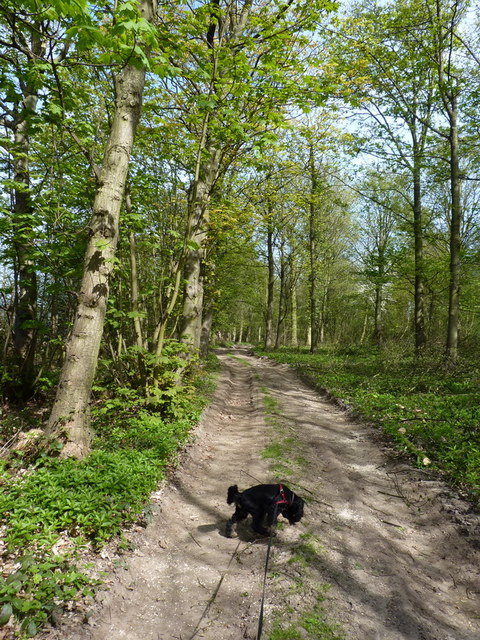
Spout Lane Plantation is a picturesque woodland located in the county of Shropshire, England. Situated near the village of Wood, this plantation covers an expansive area of lush forest and is a popular destination for nature enthusiasts and outdoor enthusiasts alike.
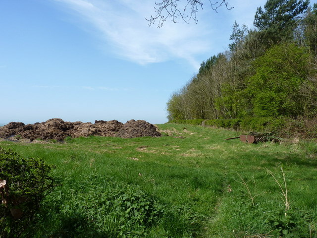
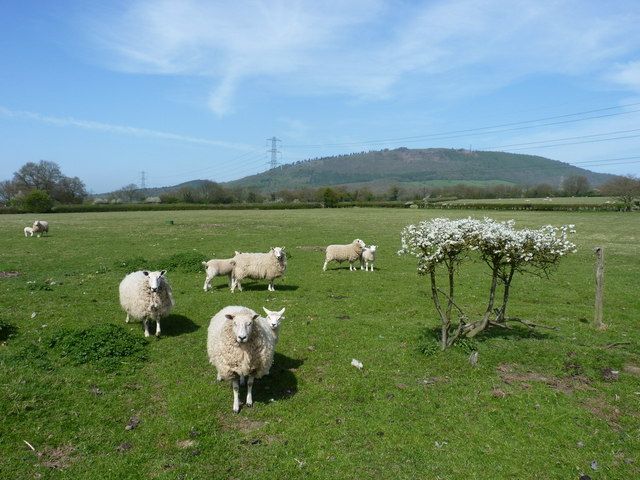
The woodland is characterized by its dense canopy of mature trees, predominantly consisting of oak, beech, and birch, with occasional coniferous species interspersed throughout. The diverse range of flora present in the plantation contributes to its rich biodiversity, providing a habitat for various wildlife species.
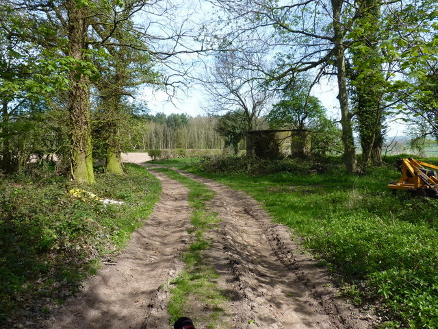
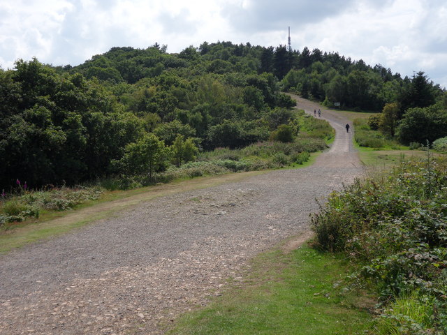
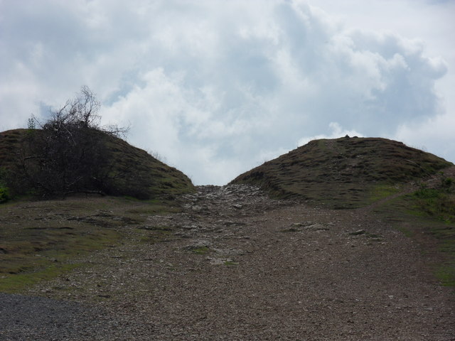
Spout Lane Plantation offers several well-maintained walking trails that wind through the forest, allowing visitors to explore its beauty at their own pace. The trails are suitable for all levels of fitness, providing a serene environment for leisurely walks or more challenging hikes. Along the paths, visitors can admire the vibrant displays of wildflowers that bloom in the spring and summer months.
The plantation is also home to a variety of bird species, making it an ideal spot for birdwatching enthusiasts. Common sightings include woodpeckers, nuthatches, and various species of tits.
In addition to its natural beauty, Spout Lane Plantation offers various amenities for visitors. These include picnic areas, benches, and information boards that provide insights into the plantation's history and ecological significance.
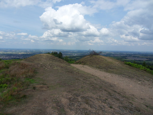
Overall, Spout Lane Plantation in Shropshire is a tranquil and enchanting woodland that offers a welcome respite from the hustle and bustle of everyday life. Whether you are seeking a peaceful stroll or an immersive nature experience, this woodland is sure to captivate visitors with its serene ambiance and natural splendor.
If you have any feedback on the listing, please let us know in the comments section below.
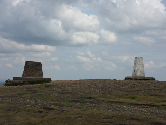
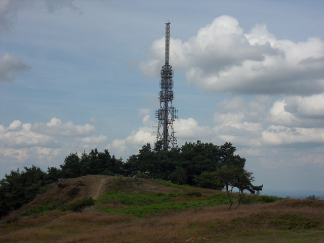
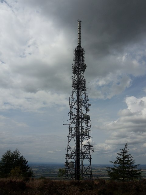
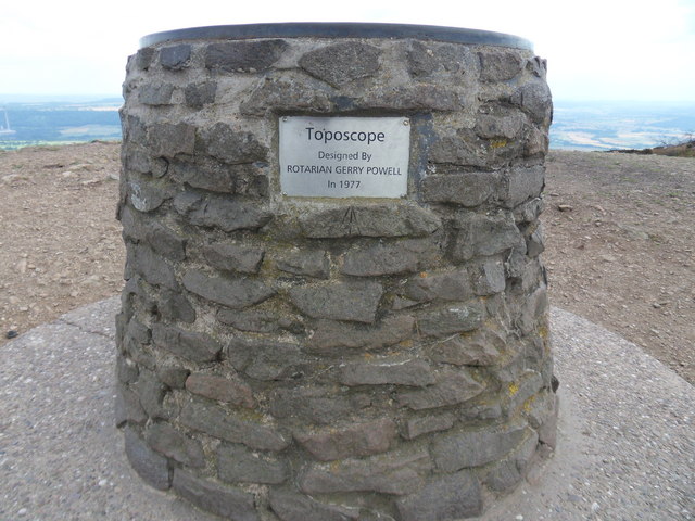
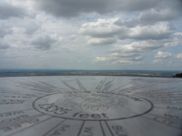
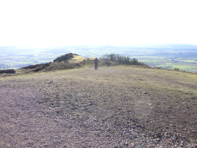
Spout Lane Plantation Images
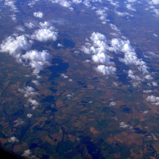
Images are sourced within 2km of 52.664197/-2.5600503 or Grid Reference SJ6207. Thanks to Geograph Open Source API. All images are credited.


Spout Lane Plantation is located at Grid Ref: SJ6207 (Lat: 52.664197, Lng: -2.5600503)
Unitary Authority: Shropshire
Police Authority: West Mercia
What 3 Words
///gobblers.slack.insect. Near Wellington, Shropshire
Nearby Locations
Related Wikis

The Wrekin
The Wrekin ( REE-kin) is a hill in east Shropshire, England. It is located some five miles (8 km) west of Telford, on the border between the unitary authorities...

Wrekin Terrane
The Wrekin Terrane is one of five inferred fault bounded terranes that make up the basement rocks of the southern United Kingdom. The other notable geological...
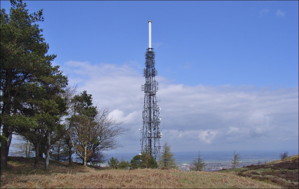
The Wrekin transmitting station
The Wrekin transmitting station is a telecommunications and broadcasting facility on The Wrekin, a hill in the county of Shropshire, England. It includes...

Leighton and Eaton Constantine
Leighton and Eaton Constantine is a civil parish in Shropshire, England. It consists of the village of Leighton, together with the smaller villages or...
Nearby Amenities
Located within 500m of 52.664197,-2.5600503Have you been to Spout Lane Plantation?
Leave your review of Spout Lane Plantation below (or comments, questions and feedback).