Gibbons Coppice
Wood, Forest in Shropshire
England
Gibbons Coppice
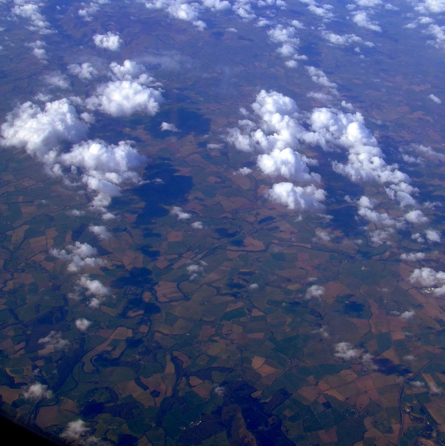
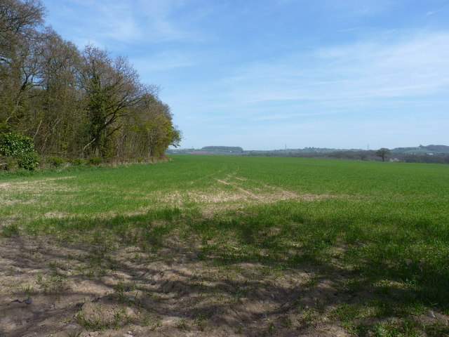
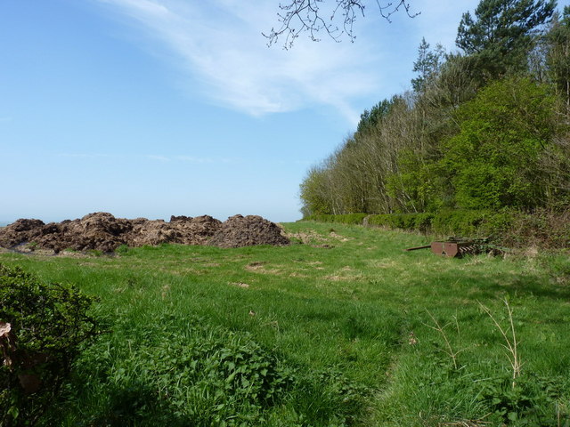
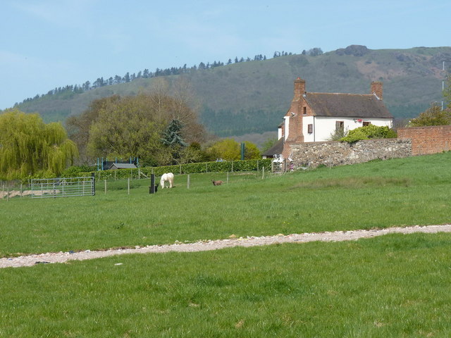
Gibbons Coppice is a serene woodland located in Shropshire, England. Spanning approximately 100 acres, it is nestled within the picturesque countryside and is a popular destination for nature enthusiasts and hikers alike.
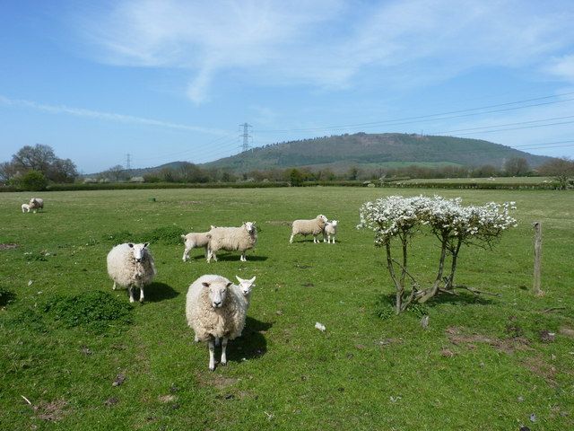
The coppice is predominantly composed of native broadleaf trees, such as oak, beech, and birch, which create a dense and vibrant canopy. This diverse ecosystem provides a haven for numerous species of flora and fauna, making it an important conservation area. Visitors can expect to encounter a variety of woodland wildlife, including deer, foxes, badgers, and a plethora of bird species.
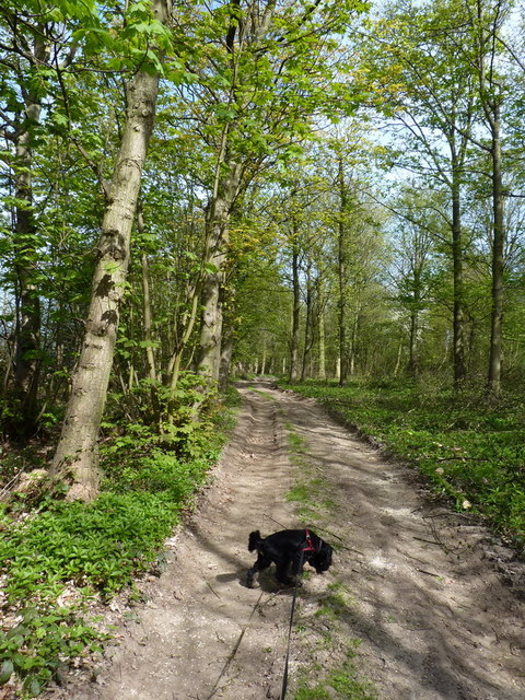
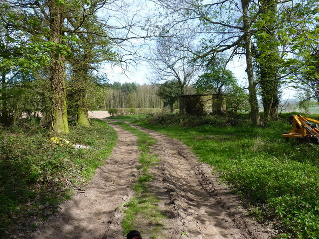
Tranquil walking trails wind their way through the coppice, inviting visitors to explore its beauty at their own pace. These pathways are well-maintained and suitable for all levels of fitness, making Gibbons Coppice an accessible destination for families and individuals of all ages. Along the trails, informative signage educates visitors about the woodland's history, ecology, and the importance of sustainable conservation practices.
In addition to its natural splendor, Gibbons Coppice also offers recreational amenities. There are picnic areas scattered throughout the woodland, providing the perfect spot for a leisurely lunch amidst nature's tranquility. The coppice is also equipped with several well-maintained benches, allowing visitors to rest and soak in the peaceful atmosphere.
Gibbons Coppice is managed by a dedicated team of conservationists who work tirelessly to protect and enhance its biodiversity. Their efforts, combined with the woodland's natural beauty, make it a cherished destination for those seeking respite from the bustling city life and a chance to reconnect with nature.
If you have any feedback on the listing, please let us know in the comments section below.
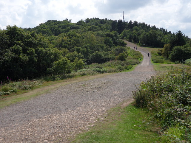
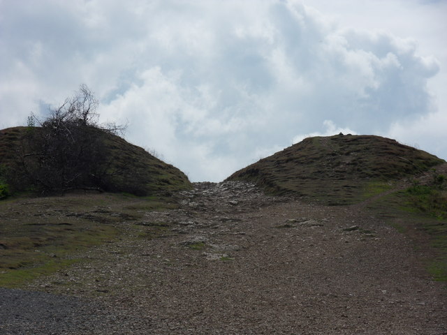
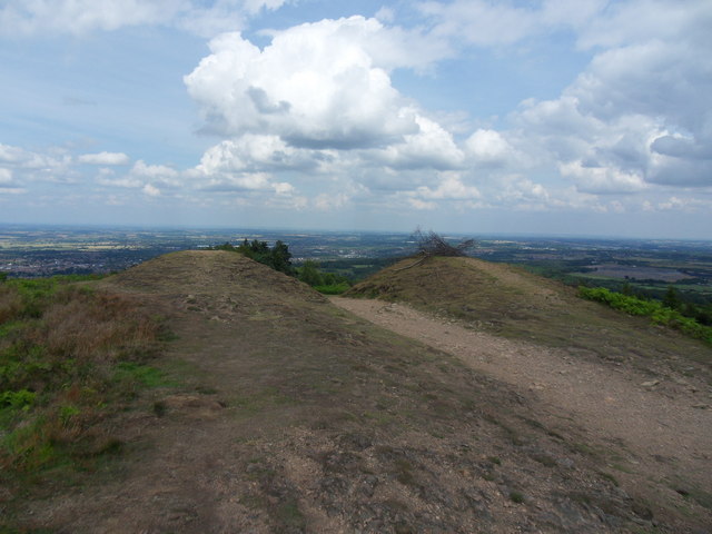
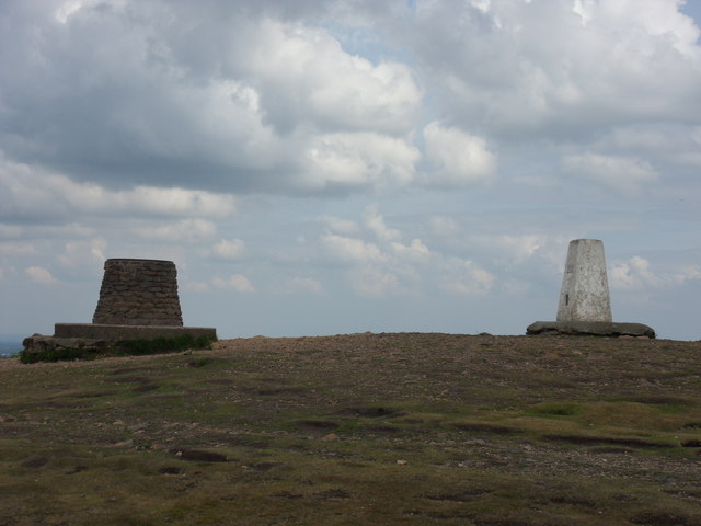
Gibbons Coppice Images
Images are sourced within 2km of 52.661601/-2.5499631 or Grid Reference SJ6207. Thanks to Geograph Open Source API. All images are credited.


Gibbons Coppice is located at Grid Ref: SJ6207 (Lat: 52.661601, Lng: -2.5499631)
Unitary Authority: Telford and Wrekin
Police Authority: West Mercia
What 3 Words
///enlighten.rehearsed.outlooks. Near Wellington, Shropshire
Nearby Locations
Related Wikis

The Wrekin
The Wrekin ( REE-kin) is a hill in east Shropshire, England. It is located some five miles (8 km) west of Telford, on the border between the unitary authorities...

Wrekin Terrane
The Wrekin Terrane is one of five inferred fault bounded terranes that make up the basement rocks of the southern United Kingdom. The other notable geological...
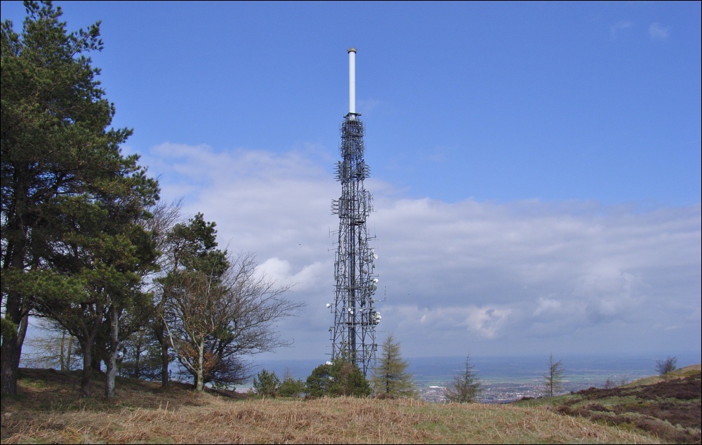
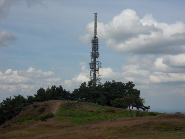
The Wrekin transmitting station
The Wrekin transmitting station is a telecommunications and broadcasting facility on The Wrekin, a hill in the county of Shropshire, England. It includes...

Little Wenlock
Little Wenlock is a village and civil parish in the Telford and Wrekin borough in Shropshire, England. The population of the civil parish at the 2011 census...
Nearby Amenities
Located within 500m of 52.661601,-2.5499631Have you been to Gibbons Coppice?
Leave your review of Gibbons Coppice below (or comments, questions and feedback).