Green Hill Rough

Wood, Forest in Herefordshire

England

Green Hill Rough

Lane through Park Coppice
Lane through Park Coppice Credit: Julian P Guffogg

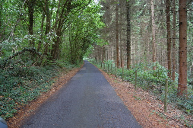
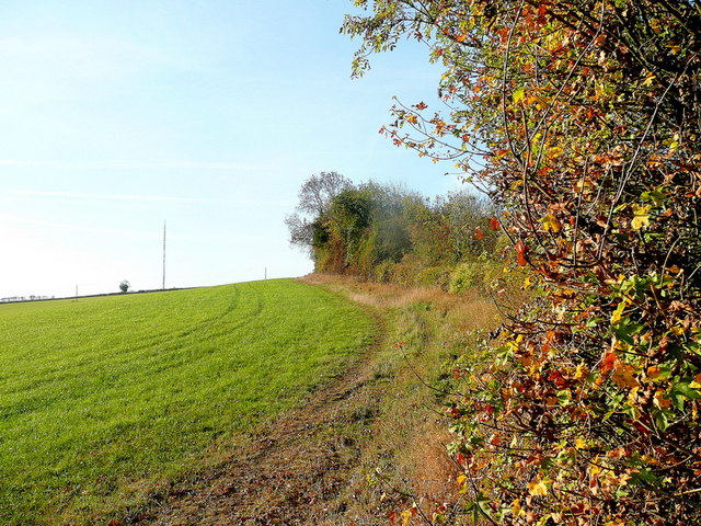
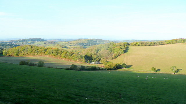
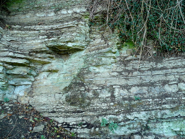
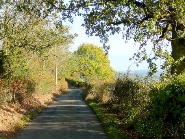
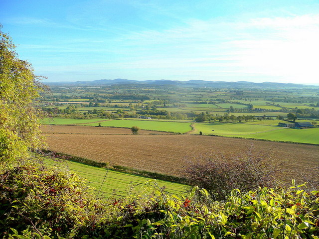
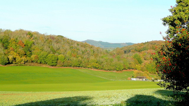
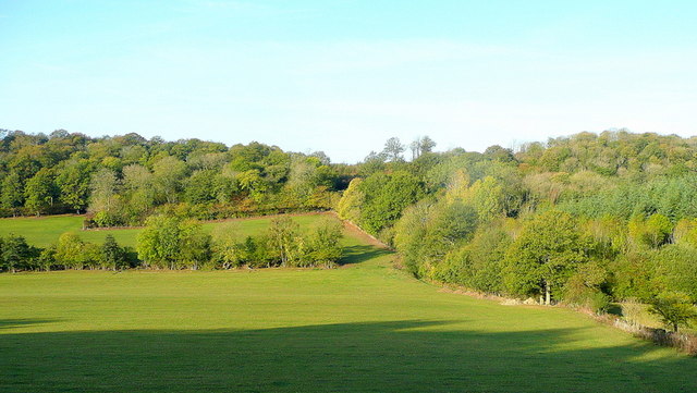
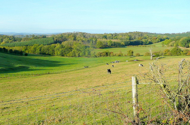
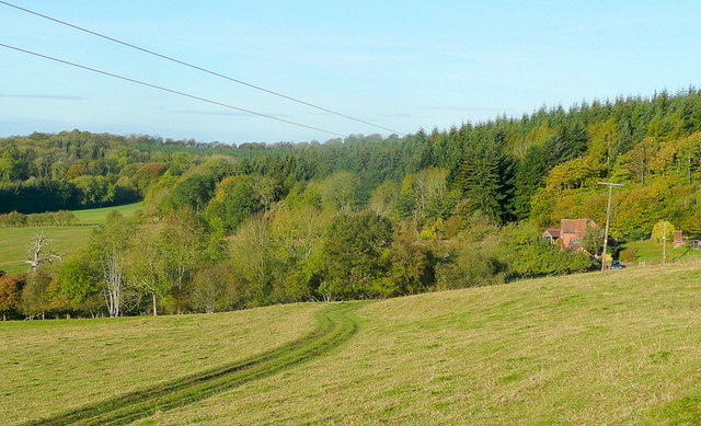
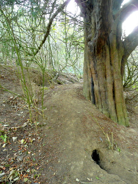
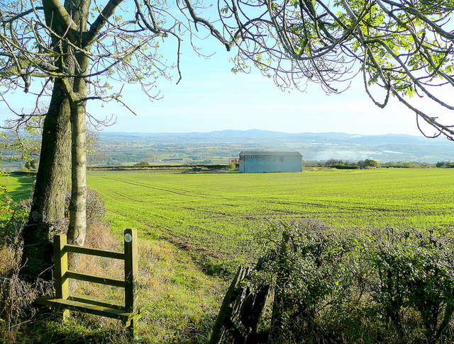
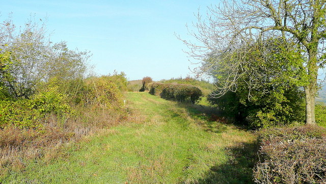
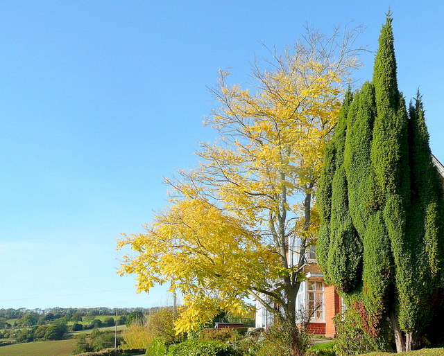
Green Hill Rough is a picturesque wood located in Herefordshire, England. Covering an area of approximately 100 acres, it is a remarkable example of a dense forest that offers a tranquil and serene environment for nature enthusiasts. The wood is situated on the gentle slopes of Green Hill, which provides stunning panoramic views of the surrounding countryside.

Green Hill Rough boasts a diverse range of tree species, including oak, beech, ash, and birch. The canopy created by these majestic trees provides a shaded and cool atmosphere, even on hot summer days. The forest floor is carpeted with a lush undergrowth of ferns, bluebells, and wildflowers, creating a vibrant and colorful landscape.

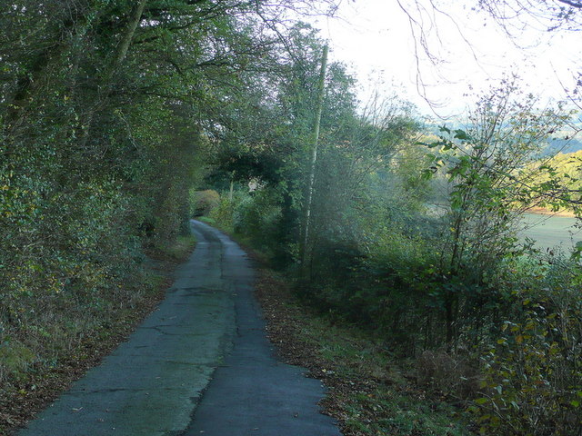
Nature lovers can explore the wood through a network of well-maintained trails that wind through the trees, offering opportunities for hiking, walking, and birdwatching. The area is home to a variety of bird species, such as woodpeckers, owls, and thrushes, making it a haven for bird enthusiasts.

Green Hill Rough is also a sanctuary for a wide range of wildlife. Foxes, rabbits, and badgers can be spotted in the undergrowth, while deer and squirrels are often seen darting gracefully through the trees. The wood provides a safe and undisturbed habitat for these animals, making it an important conservation area.

In conclusion, Green Hill Rough in Herefordshire is a captivating wood with its diverse range of trees, vibrant undergrowth, and abundant wildlife. Its natural beauty and peaceful atmosphere make it an ideal destination for those seeking solace in nature.

If you have any feedback on the listing, please let us know in the comments section below.

Green Hill Rough Images

Images are sourced within 2km of 52.025747/-2.5420093 or Grid Reference SO6236. Thanks to Geograph Open Source API. All images are credited.

Lane through Park Coppice
Cottage at Putley Common Compare with <a href="https://www.geograph.org.uk/photo/55999">SO6338 : Cottage at Putley Common</a>
Cottage at Putley Common
Ridge Hill The two LDF's, Three Choirs Way and Herefordshire Trail, share this elevated field edge.
Ridge Hill
The two LDF's, Three Choirs Way and Herefordshire Trail, share this elevated field edge.
The Woolhope Hills View west towards Hyde Farm from Glowson Wood Road across most of this gridsquare.
The Woolhope Hills
View west towards Hyde Farm from Glowson Wood Road across most of this gridsquare.
Glowson Wood Road A narrow poorly-maintained lane leading down the western side of Ridge Hill.
Glowson Wood Road
A narrow poorly-maintained lane leading down the western side of Ridge Hill.
Sedimentary rocks The wall of an old quarry near the top of Ridge Hill.
Sedimentary rocks
The wall of an old quarry near the top of Ridge Hill.
Ridge Hill Road Heading north towards Hooper's Oak.
Ridge Hill Road
Heading north towards Hooper's Oak.
View over Kynaston The glorious Herefordshire countryside in autumn.
In the distance are the Malvern Hills.
View over Kynaston
The glorious Herefordshire countryside in autumn. In the distance are the Malvern Hills.
Hooper's Oak Cottage Viewed from the public road.
Hooper's Oak Cottage
Viewed from the public road.
Beans Butts Wood Interestingly-named woodland and farmland in the picturesque Woolhope Hills.
Beans Butts Wood
Interestingly-named woodland and farmland in the picturesque Woolhope Hills.
Wooded hills Nurden Wood to the left and Round Hill Wood to the right.
Wooded hills
Nurden Wood to the left and Round Hill Wood to the right.
View from Woolhope Cockshoot The eye is led towards Round Hill Wood and Devereux Park.
View from Woolhope Cockshoot
The eye is led towards Round Hill Wood and Devereux Park.
Park Coppice Looking west on a fine autumn morning.
Park Coppice
Looking west on a fine autumn morning.
Badger sett, Jones's Coppice Next to a yew tree by the steep public path near the northern edge of the gridsquare.
Badger sett, Jones's Coppice
Next to a yew tree by the steep public path near the northern edge of the gridsquare.
Path to Hazel Court Looking north-east towards the Malvern Hills in the blue distance.
Path to Hazel Court
Looking north-east towards the Malvern Hills in the blue distance.
Green Lane This apparently ancient lane follows the crest of Seager Hill.
Green Lane
This apparently ancient lane follows the crest of Seager Hill.
Autumn colour A laburnum and conifer by The Fosbury against a clear October sky.
Autumn colour
A laburnum and conifer by The Fosbury against a clear October sky.
That should read Pool End Someone has had fun scraping the 'L' off this country sign.
That should read Pool End
Someone has had fun scraping the 'L' off this country sign.
Show me another place!

Green Hill Rough is located at Grid Ref: SO6236 (Lat: 52.025747, Lng: -2.5420093)

Unitary Authority: County of Herefordshire

Police Authority: West Mercia

What 3 Words

///pastime.acrobats.downs. Near Brockhampton, Herefordshire

Related Wikis

Putley

Putley is a village and civil parish 8 miles (13 km) east of Hereford, in the county of Herefordshire, England. In 2011 the parish had a population of...

Rushall, Herefordshire

Rushall is a small hamlet in Herefordshire, England. It is approximately halfway between Woolhope and Much Marcle. == Notes == === References ===

Woolhope

Woolhope is a village and civil parish in the English county of Herefordshire. The population of the civil parish was 486 at the 2011 census. The civil...

Ridge Hill transmitting station

The Ridge Hill transmitting station is a broadcasting and telecommunications facility located 8.5 miles SE of Hereford in Herefordshire, and close to the...

Nearby Amenities

Located within 500m of 52.025747,-2.5420093
Power: pole
Lat/Long: 52.0220241/-2.5384024
Power: pole
Lat/Long: 52.0220753/-2.543394
Power: pole
Lat/Long: 52.0221148/-2.5454485
Power: pole
Lat/Long: 52.0220389/-2.5408539
The Wonders
Power: pole
Transformer: distribution
Voltage Primary: 11000
Lat/Long: 52.0291545/-2.5376406
The data included in this document is from www.openstreetmap.org. The data is made available under ODbL.

Have you been to Green Hill Rough?

Leave your review of Green Hill Rough below (or comments, questions and feedback).