Winslow Mill

Settlement in Herefordshire

England

Winslow Mill

Lane towards Woolhope
Lane towards Woolhope Credit: Julian P Guffogg

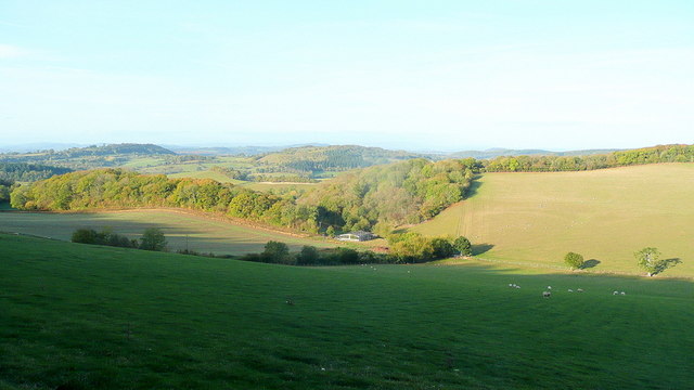
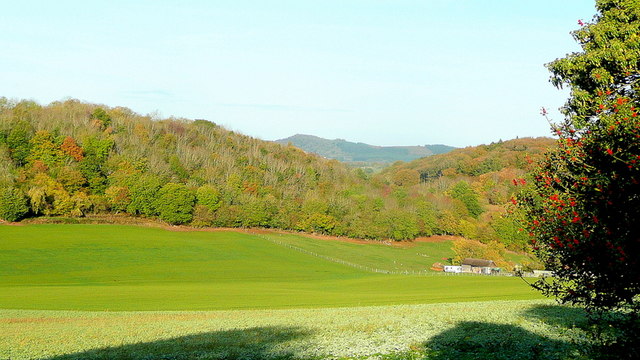
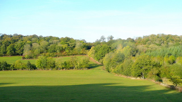
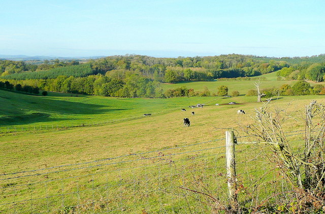
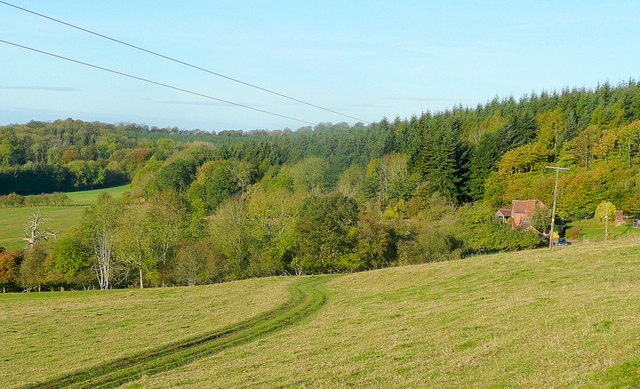
Winslow Mill is a picturesque hamlet nestled in the heart of Herefordshire, a county located in the West Midlands region of England. Situated along the banks of the River Wye, this idyllic village offers breathtaking views of the surrounding rolling hills and lush green countryside. The settlement takes its name from the historic Winslow Mill, a former water-powered grain mill that dates back to the 17th century.

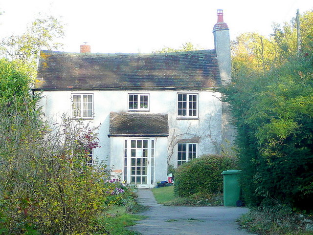
The focal point of Winslow Mill is the beautifully preserved mill building, which stands as a testament to the region's rich industrial heritage. Constructed of local stone, the mill features a striking waterwheel that once harnessed the power of the river to grind grains into flour. Today, the mill serves as a popular tourist attraction, providing visitors with a glimpse into the area's past and offering insight into traditional milling practices.

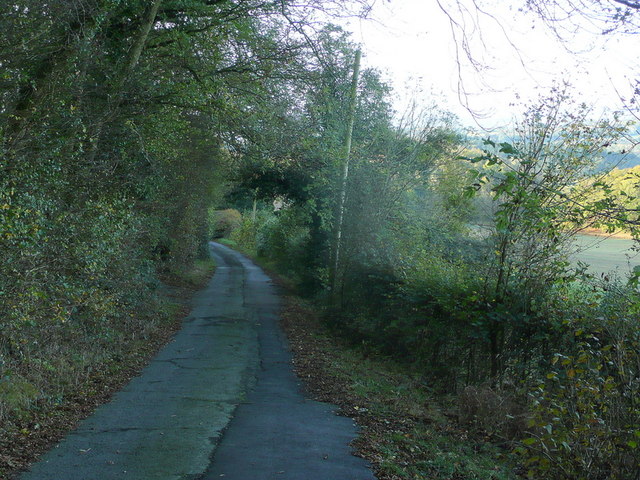
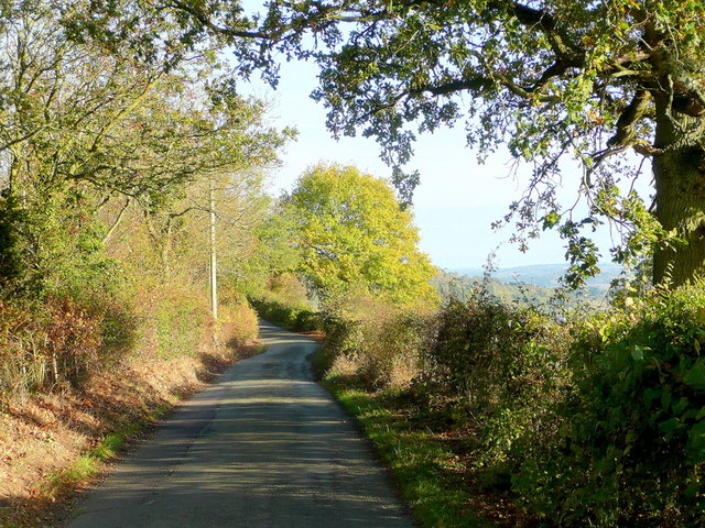
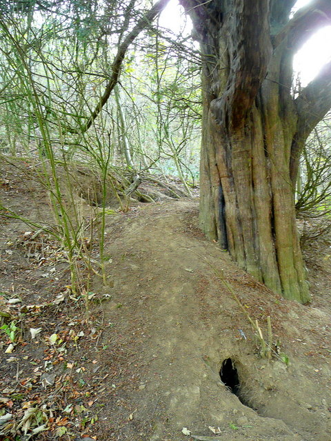
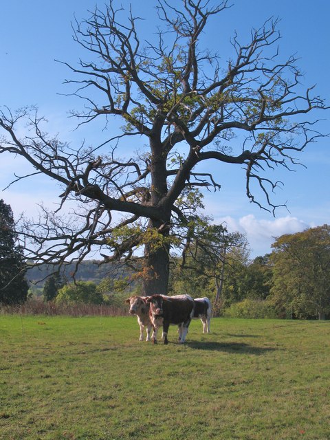
In addition to its historical significance, Winslow Mill boasts a close-knit community of residents who take pride in preserving the village's rural charm. The hamlet is dotted with quaint cottages and small farms, lending a sense of tranquility to the area. Nature enthusiasts can explore the numerous walking trails that wind through the nearby woodlands, providing ample opportunities to observe the local wildlife and discover hidden gems of natural beauty.

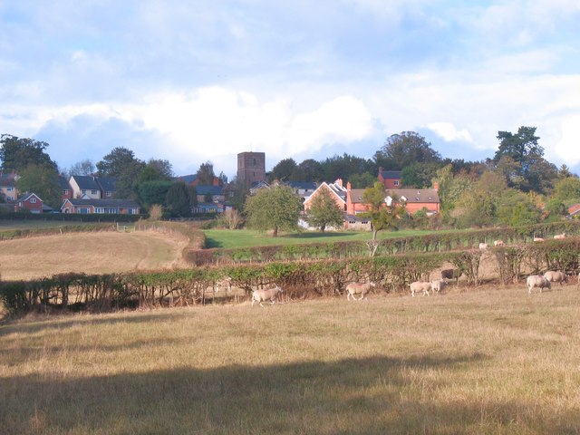
Winslow Mill is conveniently located within easy reach of the bustling market town of Hereford, which offers a range of amenities such as shops, restaurants, and cultural attractions. The hamlet's peaceful atmosphere, combined with its stunning natural surroundings, makes Winslow Mill an ideal destination for those seeking a peaceful retreat in the heart of the English countryside.

If you have any feedback on the listing, please let us know in the comments section below.
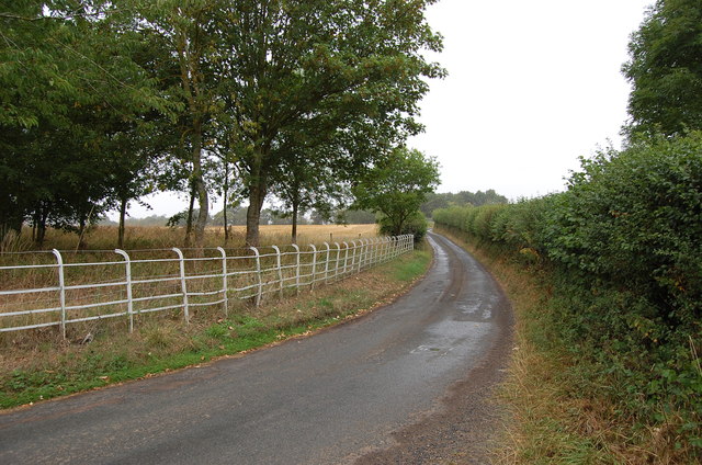
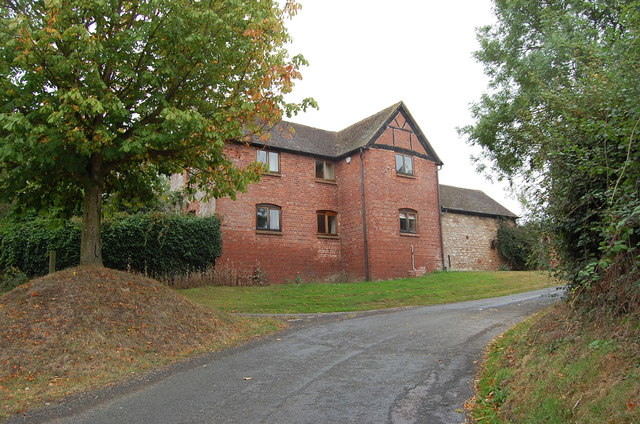
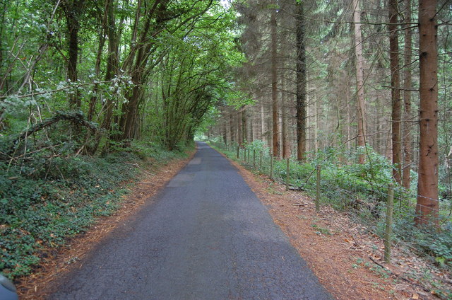
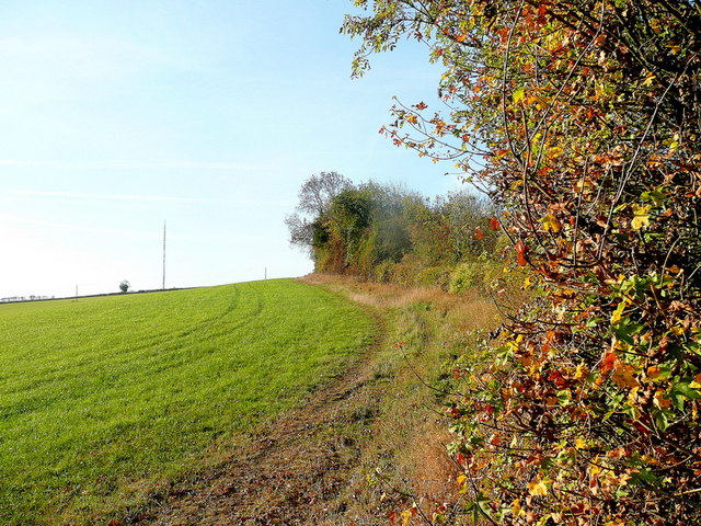
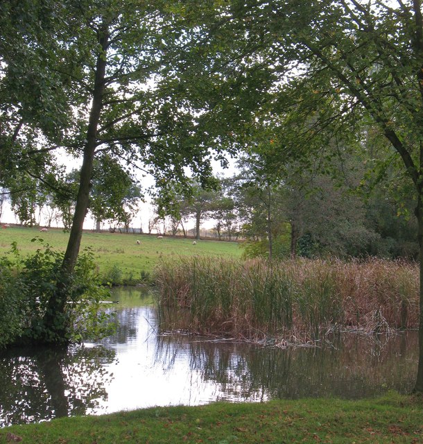
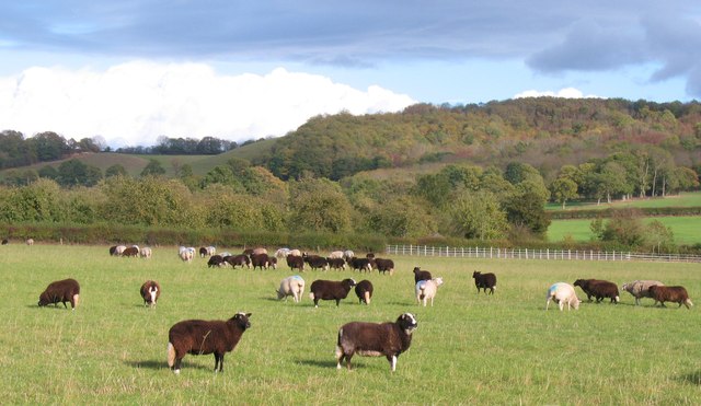
Winslow Mill Images

Images are sourced within 2km of 52.021109/-2.5551856 or Grid Reference SO6236. Thanks to Geograph Open Source API. All images are credited.

Lane towards Woolhope
Croose Farm
Croose Farm
Lane through Park Coppice
Ridge Hill The two LDF's, Three Choirs Way and Herefordshire Trail, share this elevated field edge.
Ridge Hill
The two LDF's, Three Choirs Way and Herefordshire Trail, share this elevated field edge.
The Woolhope Hills View west towards Hyde Farm from Glowson Wood Road across most of this gridsquare.
The Woolhope Hills
View west towards Hyde Farm from Glowson Wood Road across most of this gridsquare.
Glowson Wood Road A narrow poorly-maintained lane leading down the western side of Ridge Hill.
Glowson Wood Road
A narrow poorly-maintained lane leading down the western side of Ridge Hill.
Sedimentary rocks The wall of an old quarry near the top of Ridge Hill.
Sedimentary rocks
The wall of an old quarry near the top of Ridge Hill.
Ridge Hill Road Heading north towards Hooper's Oak.
Ridge Hill Road
Heading north towards Hooper's Oak.
Hooper's Oak Cottage Viewed from the public road.
Hooper's Oak Cottage
Viewed from the public road.
Beans Butts Wood Interestingly-named woodland and farmland in the picturesque Woolhope Hills.
Beans Butts Wood
Interestingly-named woodland and farmland in the picturesque Woolhope Hills.
Wooded hills Nurden Wood to the left and Round Hill Wood to the right.
Wooded hills
Nurden Wood to the left and Round Hill Wood to the right.
View from Woolhope Cockshoot The eye is led towards Round Hill Wood and Devereux Park.
View from Woolhope Cockshoot
The eye is led towards Round Hill Wood and Devereux Park.
Park Coppice Looking west on a fine autumn morning.
Park Coppice
Looking west on a fine autumn morning.
Badger sett, Jones's Coppice Next to a yew tree by the steep public path near the northern edge of the gridsquare.
Badger sett, Jones's Coppice
Next to a yew tree by the steep public path near the northern edge of the gridsquare.
Cattle at Woolhope These appear to be English Longhorn cattle, standing by an old oak at Woolhope.
Cattle at Woolhope
These appear to be English Longhorn cattle, standing by an old oak at Woolhope.
Approaching Woolhope Nearing the end of a circular walk at the village of Woolhope.
Approaching Woolhope
Nearing the end of a circular walk at the village of Woolhope.
Pond near Woolhope A corner of a pond and wetland area to the south of Woolhope village.
Pond near Woolhope
A corner of a pond and wetland area to the south of Woolhope village.
Sheep pasture at Woolhope Some rather unusually marked sheep at Woolhope. Maybe another contributor can recognise the breed.
It appears that these are a Welsh breed known as Balwen sheep. Thanks to a fellow contributor for the information.
Sheep pasture at Woolhope
Some rather unusually marked sheep at Woolhope. Maybe another contributor can recognise the breed. It appears that these are a Welsh breed known as Balwen sheep. Thanks to a fellow contributor for the information.
Show me another place!

Winslow Mill is located at Grid Ref: SO6236 (Lat: 52.021109, Lng: -2.5551856)

Unitary Authority: County of Herefordshire

Police Authority: West Mercia

What 3 Words

///clauses.deals.hindered. Near Brockhampton, Herefordshire

Related Wikis

Woolhope

Woolhope is a village and civil parish in the English county of Herefordshire. The population of the civil parish was 486 at the 2011 census. The civil...

Rushall, Herefordshire

Rushall is a small hamlet in Herefordshire, England. It is approximately halfway between Woolhope and Much Marcle. == Notes == === References ===

Putley

Putley is a village and civil parish 8 miles (13 km) east of Hereford, in the county of Herefordshire, England. In 2011 the parish had a population of...

Ridge Hill transmitting station

The Ridge Hill transmitting station is a broadcasting and telecommunications facility located 8.5 miles SE of Hereford in Herefordshire, and close to the...

Nearby Amenities

Located within 500m of 52.021109,-2.5551856
Bus Stop
The Nurdens
Naptan AtcoCode: 2090A150800
Naptan Bearing: S
Naptan CommonName: The Nurdens
Naptan Indicator: adj
Naptan Landmark: Jc road to Lenacres Fold
Naptan NaptanCode: heragjpj
Naptan Street: The Nurdens
Naptan Verified: no
Source: naptan_import
Lat/Long: 52.0223531/-2.5540771
Power: pole
Lat/Long: 52.0182462/-2.558303
Power: pole
Lat/Long: 52.0191054/-2.5569875
Power: pole
Lat/Long: 52.0201215/-2.5554089
Power: pole
Lat/Long: 52.02085/-2.5538855
Power: pole
Lat/Long: 52.0215923/-2.5523927
Power: pole
Lat/Long: 52.021841/-2.5502112
Power: pole
Lat/Long: 52.0219947/-2.5488586
Description: Public footpath thru Lenacre Ford, straight up driveway to field gate
Note: This is the correct route of the public footpath which runs through my family's land. Through the vehicle gate over the stream, straight up the driveway to the field gate.
Source: Ordnance Survey Map;Land Owner;local knowledge
Lat/Long: 52.0209101/-2.5559981
Gate into field along route of public footpath.
Note: Correct route into the 20 acre field along public footpath is straight up the drive at Lenacre Ford and through the gate as marked.
Source: Ordnance Survey;Landowner;local knowledge
Lat/Long: 52.0206368/-2.5553502
Location Transition: yes
Power: pole
Lat/Long: 52.0214554/-2.5521299
Power: pole
Lat/Long: 52.0216419/-2.5502859
Power: pole
Lat/Long: 52.0215305/-2.5513427
Power: pole
Lat/Long: 52.0217616/-2.5491138
Power: pole
Lat/Long: 52.0217286/-2.5484747
Poplar Cottage
Power: pole
Transformer: distribution
Voltage Primary: 11000
Lat/Long: 52.0186741/-2.5545285
Hollings Hill
Power: pole
Transformer: distribution
Voltage Primary: 11000
Lat/Long: 52.0176285/-2.5516967
Power: pole
Lat/Long: 52.0175393/-2.5527267
Power: pole
Lat/Long: 52.0176177/-2.5544313
Power: pole
Lat/Long: 52.018122/-2.5550294
Power: pole
Lat/Long: 52.0188244/-2.5555484
Power: pole
Lat/Long: 52.0188334/-2.5568318
Power: pole
Lat/Long: 52.0188409/-2.5578792
Power: pole
Lat/Long: 52.0188541/-2.5592324
Butchers Arms
Power: pole
Transformer: distribution
Voltage Primary: 11000
Lat/Long: 52.0187864/-2.5596629
Power: pole
Lat/Long: 52.0188508/-2.5600693
Power: pole
Lat/Long: 52.0189515/-2.5606741
Power: pole
Lat/Long: 52.0190414/-2.5612628
Power: pole
Lat/Long: 52.0198205/-2.5614265
Power: pole
Lat/Long: 52.0206078/-2.5615928
Power: pole
Lat/Long: 52.0214199/-2.5617832
Power: pole
Lat/Long: 52.0213918/-2.5607103
Power: pole
Lat/Long: 52.0213671/-2.5598399
Power: pole
Lat/Long: 52.0216386/-2.5585404
Power: pole
Lat/Long: 52.0219489/-2.5570638
Power: pole
Lat/Long: 52.0218672/-2.5556007
Location Transition: yes
Power: pole
Lat/Long: 52.0217673/-2.553919
Power: pole
Lat/Long: 52.0218119/-2.5546727
Location Transition: yes
Power: pole
Lat/Long: 52.0217987/-2.5544541
Lenacre's Poultry
Power: pole
Transformer: distribution
Voltage Primary: 11000
Lat/Long: 52.0230391/-2.5566468
Location Transition: yes
Power: pole
Lat/Long: 52.0229862/-2.5564476
Power: pole
Lat/Long: 52.0240747/-2.5570612
Power: pole
Lat/Long: 52.0250699/-2.5575762
The data included in this document is from www.openstreetmap.org. The data is made available under ODbL.

Have you been to Winslow Mill?

Leave your review of Winslow Mill below (or comments, questions and feedback).