Green Hill Coppice
Wood, Forest in Herefordshire
England
Green Hill Coppice
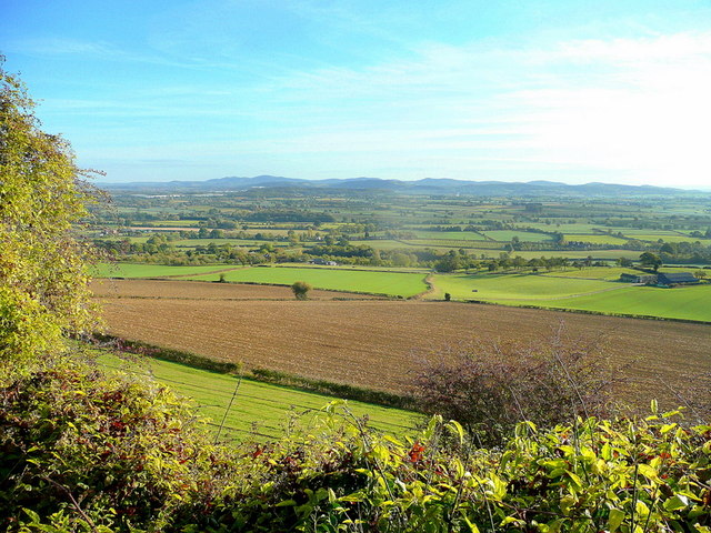
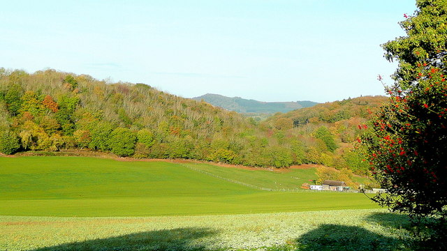
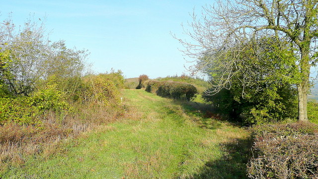
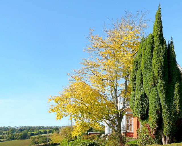
Green Hill Coppice is a charming woodland located in the county of Herefordshire, England. Covering an area of approximately 20 acres, this forested area offers a tranquil and picturesque escape from the hustle and bustle of everyday life.
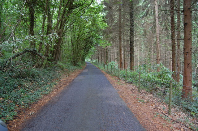
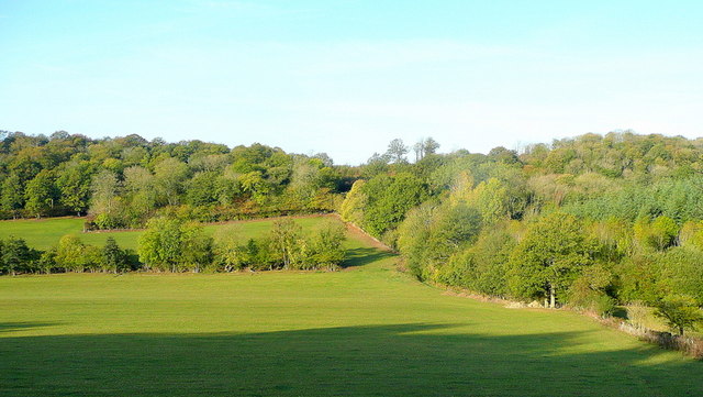
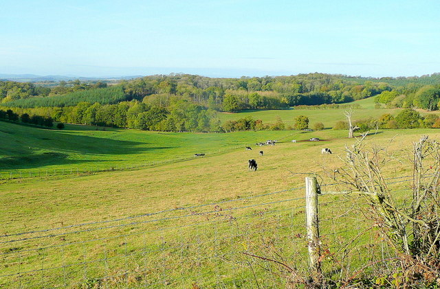
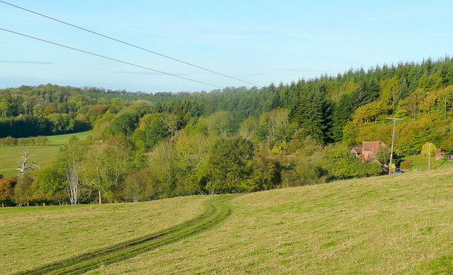
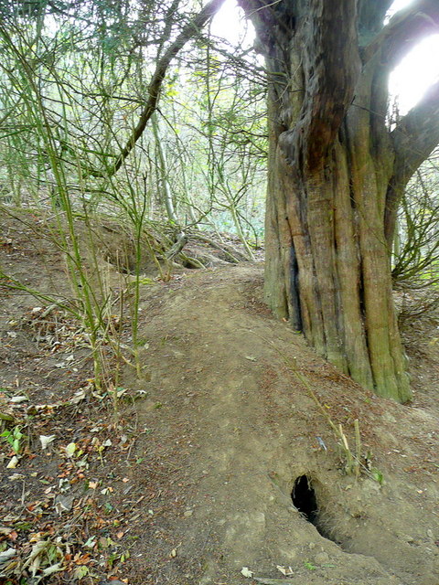
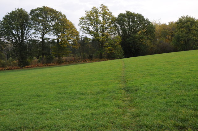
The coppice is primarily composed of native broadleaf trees, including oak, ash, and beech, which create a dense canopy overhead. The forest floor is covered in a lush carpet of ferns, bluebells, and wildflowers, adding to the natural beauty of the area. The diverse ecosystem supports a range of wildlife, including birds, squirrels, and deer, making it a haven for nature enthusiasts and photographers.
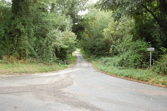
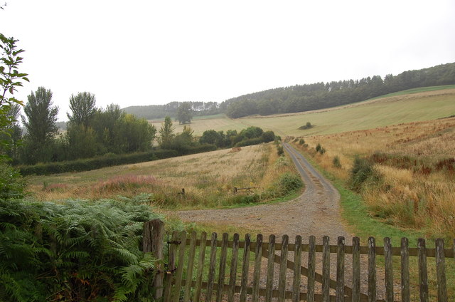
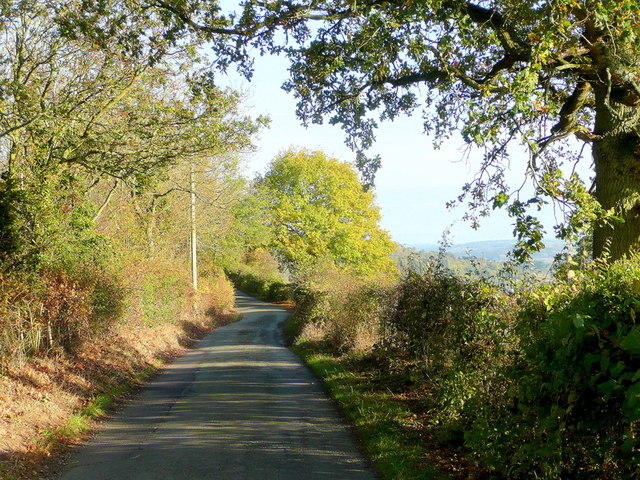
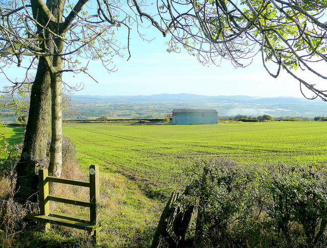
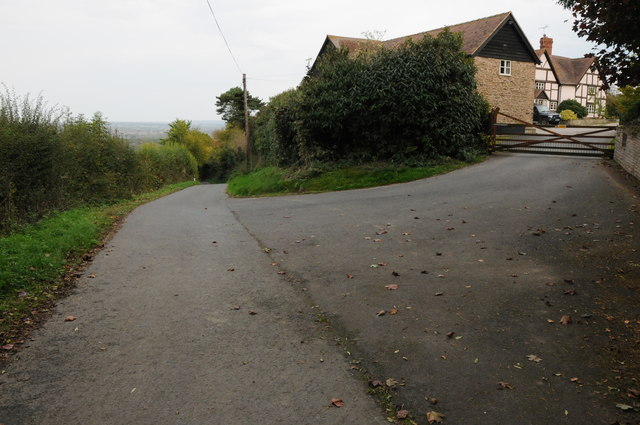
Visitors to Green Hill Coppice can explore the woodland through a network of well-maintained footpaths and trails. These pathways wind their way through the trees, offering stunning views of the surrounding countryside and glimpses of the nearby River Wye. The forest is also home to a small pond, providing a peaceful spot for reflection and relaxation.
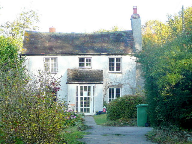
The coppice has a rich history, with evidence of human settlement dating back centuries. It was traditionally managed as a source of timber and firewood, utilizing the technique of coppicing to encourage new growth. Today, the woodland is protected and managed by a local conservation group, ensuring its preservation for future generations to enjoy.
Green Hill Coppice is a hidden gem in Herefordshire, offering visitors a chance to reconnect with nature and experience the beauty of a traditional English woodland. Whether for a leisurely stroll, bird-watching, or simply finding solace in the tranquility of the forest, this enchanting coppice is a must-visit destination.
If you have any feedback on the listing, please let us know in the comments section below.
Green Hill Coppice Images
Images are sourced within 2km of 52.02737/-2.5449148 or Grid Reference SO6236. Thanks to Geograph Open Source API. All images are credited.


Green Hill Coppice is located at Grid Ref: SO6236 (Lat: 52.02737, Lng: -2.5449148)
Unitary Authority: County of Herefordshire
Police Authority: West Mercia
What 3 Words
///olive.bulky.abruptly. Near Brockhampton, Herefordshire
Nearby Locations
Related Wikis

Putley
Putley is a village and civil parish 8 miles (13 km) east of Hereford, in the county of Herefordshire, England. In 2011 the parish had a population of...

Woolhope
Woolhope is a village and civil parish in the English county of Herefordshire. The population of the civil parish was 486 at the 2011 census. The civil...

Rushall, Herefordshire
Rushall is a small hamlet in Herefordshire, England. It is approximately halfway between Woolhope and Much Marcle. == Notes == === References ===
Alder's End
Alder's End is a small village in Herefordshire, England. It is about 8 miles (13 km) east of Hereford and is near the A438 road. The village falls within...

Aylton
Aylton is a village in eastern Herefordshire, England. It is 5.5 km (3.4 mi) west of Ledbury. The population of this parish at the 2011 Census was 144...
Ridge Hill transmitting station
The Ridge Hill transmitting station is a broadcasting and telecommunications facility located 8.5 miles SE of Hereford in Herefordshire, and close to the...
Tarrington
Tarrington is a small village in Herefordshire, England located halfway between Ledbury and Hereford on the A438 road. == The village == The village has...
Sollers Hope
Sollers Hope or Sollershope is a village and civil parish 8 miles (13 km) south east of Hereford, in the county of Herefordshire, England. In 2001 the...
Nearby Amenities
Located within 500m of 52.02737,-2.5449148Have you been to Green Hill Coppice?
Leave your review of Green Hill Coppice below (or comments, questions and feedback).