Furze Brake Plantation

Wood, Forest in Dorset

England

Furze Brake Plantation

Frampton The A356 to Crewkerne heading west through the village.
Frampton Credit: Trevor Harris

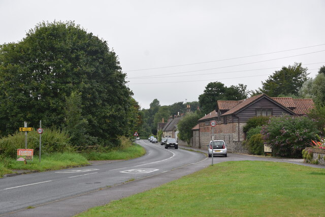
Furze Brake Plantation is a picturesque woodland area located in the county of Dorset, England. Covering an extensive area of approximately 100 acres, this plantation is a haven for nature enthusiasts, walkers, and wildlife lovers alike. Situated in close proximity to the town of Wimborne Minster, Furze Brake Plantation offers a tranquil and serene experience, away from the hustle and bustle of urban life.

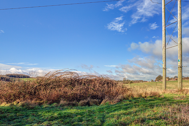
The plantation features a diverse range of trees, including oak, beech, birch, and pine, creating a rich tapestry of colors throughout the seasons. The dense foliage provides a sanctuary for a variety of bird species, such as woodpeckers, owls, and thrushes, making it a popular spot for birdwatching.

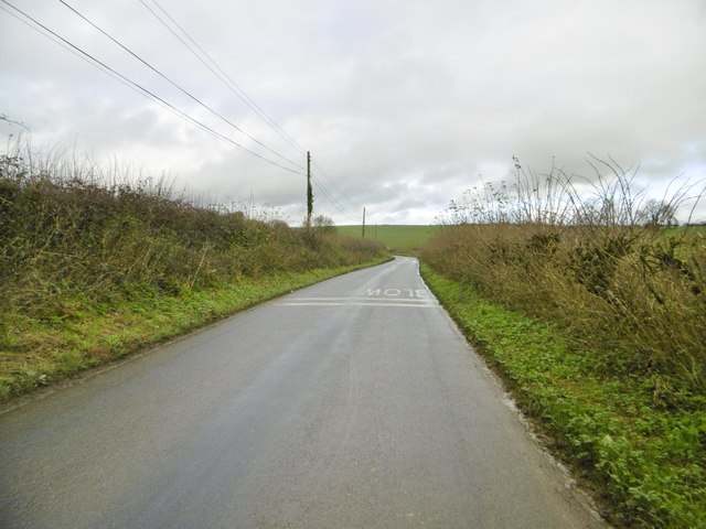
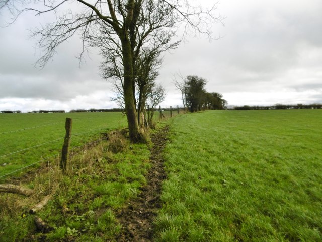
Several well-maintained footpaths wind their way through the plantation, allowing visitors to explore its natural beauty at their own pace. These paths provide an opportunity to discover the hidden gems of the woodland, including wildflowers, fungi, and occasional glimpses of small mammals like deer and squirrels.

Furze Brake Plantation is managed by the local authorities and is open to the public throughout the year. It offers a peaceful retreat for individuals seeking solitude or families looking to spend quality time in nature. The plantation also serves as an educational resource, with informative boards and signs highlighting the flora and fauna found within the area.

Whether one is seeking a leisurely stroll, a picnic spot, or a chance to observe the wonders of wildlife, Furze Brake Plantation in Dorset is a remarkable destination that showcases the beauty and diversity of the British countryside.

If you have any feedback on the listing, please let us know in the comments section below.

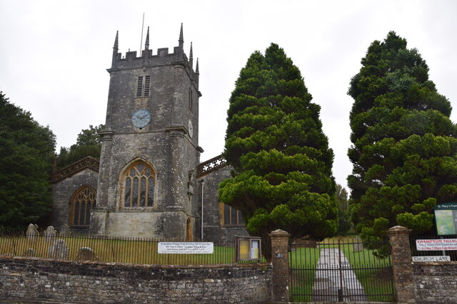
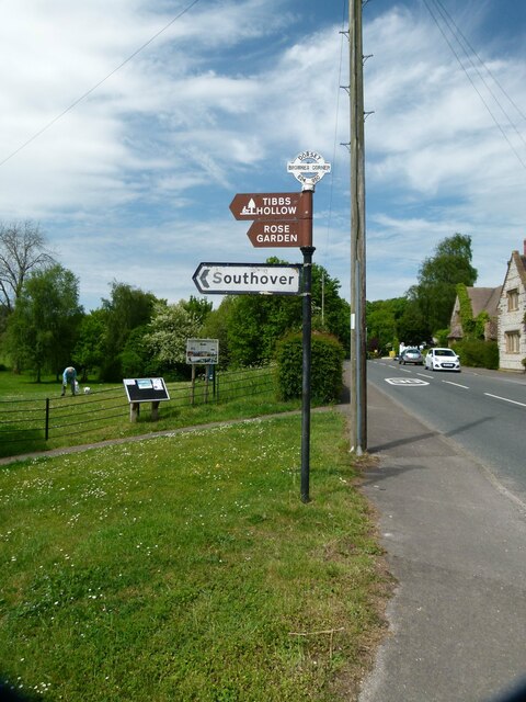
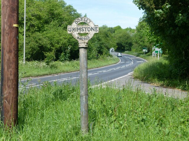
Furze Brake Plantation Images

Images are sourced within 2km of 50.737809/-2.5297767 or Grid Reference SY6293. Thanks to Geograph Open Source API. All images are credited.

Frampton The A356 to Crewkerne heading west through the village.
Frampton
The A356 to Crewkerne heading west through the village.
St Mary's Frampton Taken at the end of Church Lane.
St Mary's Frampton
Taken at the end of Church Lane.
Direction Sign – Signpost on the A356 Dorchester Road in Frampton Located on the southwest side of the T junction of the A356 Dorchester Road and a minor road to Southover in Frampton parish. The annulus & bar finial has been reused from an older fingerpost. See also <a title="https://www.geograph.org.uk/photo/1785096" href="https://www.geograph.org.uk/photo/1785096">Link</a>.

Milestone Society National ID: DO_SY6295
Direction Sign – Signpost on the A356 Dorchester Road in Frampton
Located on the southwest side of the T junction of the A356 Dorchester Road and a minor road to Southover in Frampton parish. The annulus & bar finial has been reused from an older fingerpost. See also Link. Milestone Society National ID: DO_SY6295
Direction Sign – Signpost Located between Frampton and Grimstone on an island in the centre of the junction of the A37 Dorchester Road and a minor road to Langford Farm, Stratton parish. The annulus & bar finial and pillar remain but the arms of the fingerpost have gone. See also <a title="https://www.geograph.org.uk/photo/1785108" href="https://www.geograph.org.uk/photo/1785108">Link</a>.

Milestone Society National ID: DO_SY6394
Direction Sign – Signpost
Located between Frampton and Grimstone on an island in the centre of the junction of the A37 Dorchester Road and a minor road to Langford Farm, Stratton parish. The annulus & bar finial and pillar remain but the arms of the fingerpost have gone. See also Link. Milestone Society National ID: DO_SY6394
Old Milestone by the A356, Frampton Carved stone post by the A356, in parish of FRAMPTON (WEST DORSET District), Frampton Road, 'Milestone', No. 4., Part of the wall, on North side of road. Dorset 3 (limestone), erected by the Maiden Newton turnpike trust in the 19th century.

Inscription reads:-
3
Maiden Newton
5
Dorchester

Milestone Society National ID: DO_MNDO03.
Old Milestone by the A356, Frampton
Carved stone post by the A356, in parish of FRAMPTON (WEST DORSET District), Frampton Road, 'Milestone', No. 4., Part of the wall, on North side of road. Dorset 3 (limestone), erected by the Maiden Newton turnpike trust in the 19th century. Inscription reads:- 3 Maiden Newton 5 Dorchester Milestone Society National ID: DO_MNDO03.
Grimstone, River Frome Looking downstream from the road to Muckleford. It is to be hoped that the sheep can swim.
Grimstone, River Frome
Looking downstream from the road to Muckleford. It is to be hoped that the sheep can swim.
Grimstone, sheep grazing On the banks of River Frome.
Grimstone, sheep grazing
On the banks of River Frome.
Bradford Peverell, Roman Road Lane from Muckleford to Bradford Peverell, parallel to River Frome. Beech trees are showing good autumn colour. Part of the Roman route from Ilchester to Dorchester.
Bradford Peverell, Roman Road
Lane from Muckleford to Bradford Peverell, parallel to River Frome. Beech trees are showing good autumn colour. Part of the Roman route from Ilchester to Dorchester.
Bradford Peverell, gate At Three Corners, the beginning of the bridleway up Penn Hill towards the village.
Bradford Peverell, gate
At Three Corners, the beginning of the bridleway up Penn Hill towards the village.
Bradford Peverell, farm road Road and bridleway, from Muckleford to Bridport Road.
Bradford Peverell, farm road
Road and bridleway, from Muckleford to Bridport Road.
Hampton, reservoir Next to the road to Muckleford.
Hampton, reservoir
Next to the road to Muckleford.
Hampton Farmhouse
Hampton Farmhouse
Hampton Farm Beef farm on the road to Muckleford.
Hampton Farm
Beef farm on the road to Muckleford.
Hampton, minor road From Winterbourne Abbas to Muckleford.
Hampton, minor road
From Winterbourne Abbas to Muckleford.
Hampton, stile At the beginning of the footpath from the Muckleford road to Higher Skippet Farm.
Hampton, stile
At the beginning of the footpath from the Muckleford road to Higher Skippet Farm.
Hampton, footpath From the Muckleford road to Higher Skippet Farm; the track is more likely to have been created by livestock than by humans.
Hampton, footpath
From the Muckleford road to Higher Skippet Farm; the track is more likely to have been created by livestock than by humans.
Hampton, stubble field On the lower slopes of Knowle Hill.
Hampton, stubble field
On the lower slopes of Knowle Hill.
Defending Dorset in 1940: the Maiden Newton - Poole Harbour Stop Line (32) -
Pillbox (type FW3/22): DoB ID: S0000072

Frampton - Tunnel House - Site of Type 22 Pillbox.  According to records almost 20 years ago there was a pillbox here that even at that time was only in 'fair' condition. The site is on farm land on an escarpment just to the northeast of the village, and overlooks the railway tunnel entrance. Nothing survives today other than fragments of the concrete roof, and the odd brick, the remainder lies buried under a soil heap covered by brambles. With thanks to Tunnel House for access.

<a href="https://www.geograph.org.uk/photo/4841973">SY6394 : Defending Dorset in 1940: the Maiden Newton - Poole Harbour Stop Line (33)</a>
Defending Dorset in 1940: the Maiden Newton - Poole Harbour Stop Line (32)
- Pillbox (type FW3/22): DoB ID: S0000072 Frampton - Tunnel House - Site of Type 22 Pillbox. According to records almost 20 years ago there was a pillbox here that even at that time was only in 'fair' condition. The site is on farm land on an escarpment just to the northeast of the village, and overlooks the railway tunnel entrance. Nothing survives today other than fragments of the concrete roof, and the odd brick, the remainder lies buried under a soil heap covered by brambles. With thanks to Tunnel House for access. SY6394 : Defending Dorset in 1940: the Maiden Newton - Poole Harbour Stop Line (33)
Show me another place!

Furze Brake Plantation is located at Grid Ref: SY6293 (Lat: 50.737809, Lng: -2.5297767)

Unitary Authority: Dorset

Police Authority: Dorset

What 3 Words

///punchy.sound.scaffold. Near Charminster, Dorset

Related Wikis

Grimstone, Dorset

Grimstone is a hamlet at the confluence of Sydling Water and the River Frome in the western part of the civil parish of Stratton, Dorset. The Great Western...

Frampton, Dorset

Frampton is a village and civil parish in the county of Dorset in southern England, situated approximately 5 miles (8.0 km) northwest of the county town...

Frampton (liberty)

Frampton Liberty was a liberty in the county of Dorset, England, which contained the following parishes: Bettiscombe Bincombe Burton Bradstock Compton...

Frampton Priory

Frampton Priory was a Benedictine priory in England, near the village of Frampton in Dorset and mentioned in the Domesday Book. The priory was subordinate...

Grimstone and Frampton railway station

Grimstone and Frampton railway station was a station on the Wiltshire, Somerset & Weymouth Railway, part of the Great Western Railway between Maiden Newton...
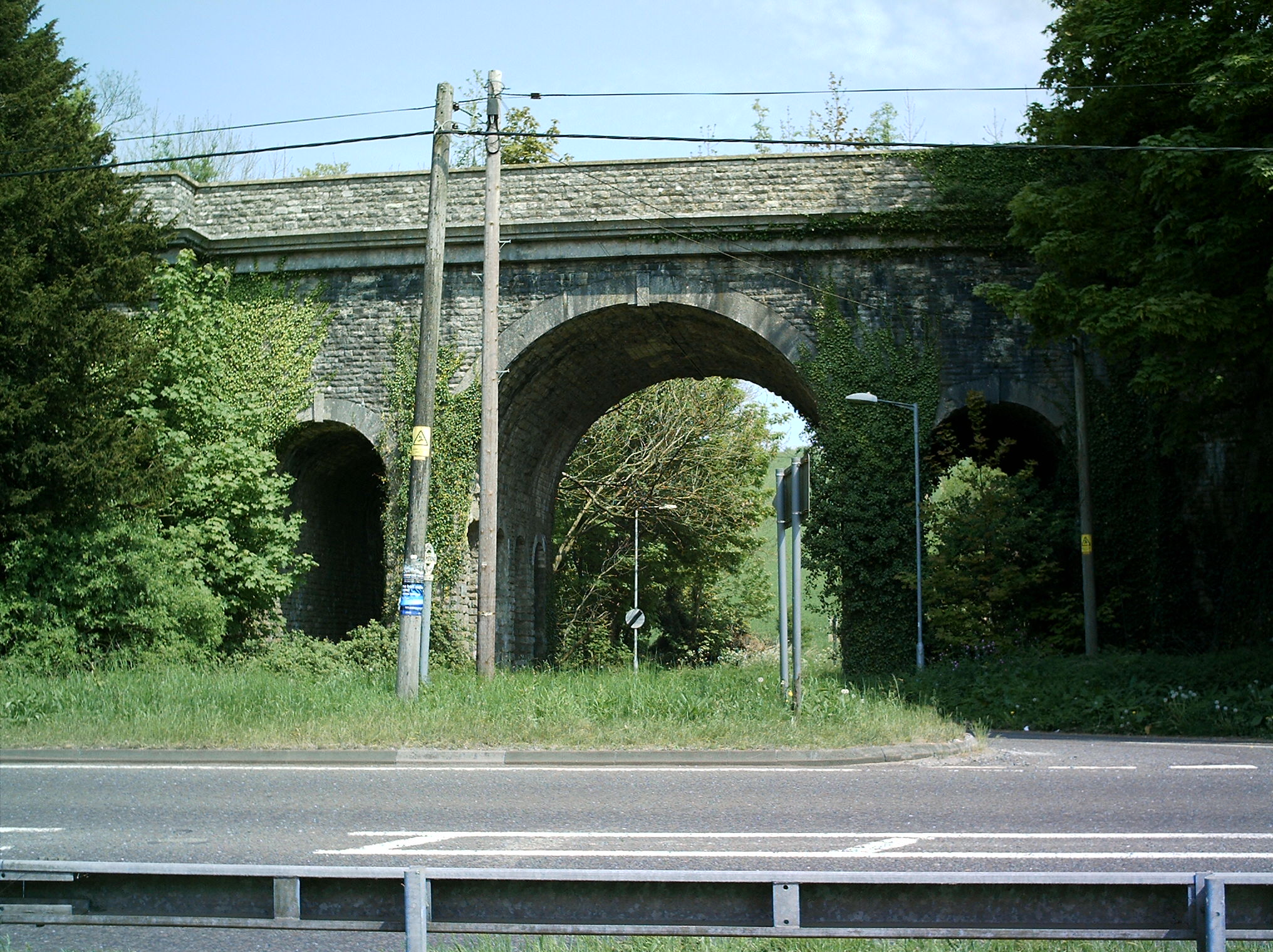
Grimstone Viaduct

The Grimstone Viaduct is a railway bridge on the Castle Cary-Weymouth "Heart of Wessex" line in Dorset, England. It is directly north of the site of Grimstone...

Nunnery Mead

Nunnery Mead is a nature reserve of the Dorset Wildlife Trust, near Frampton and about 2 miles south-east of Maiden Newton, in Dorset, England. It is a...

Stratton, Dorset

Stratton is a village and civil parish in Dorset, England, situated in the Frome valley about 3 miles (4.8 km) north-west of Dorchester. The parish includes...

Nearby Amenities

Located within 500m of 50.737809,-2.5297767
Material: wood
Power: pole
Source: bing
Lat/Long: 50.7359496/-2.5361377
Material: wood
Power: pole
Source: bing
Lat/Long: 50.7364752/-2.5355091
Material: wood
Power: pole
Source: bing
Lat/Long: 50.7365672/-2.5362863
Material: wood
Power: pole
Source: bing
Lat/Long: 50.7366228/-2.5364331
Material: wood
Power: pole
Source: bing
Lat/Long: 50.736862/-2.5348548
Material: wood
Power: pole
Source: bing
Lat/Long: 50.7372954/-2.5341582
Material: wood
Power: pole
Source: bing
Lat/Long: 50.7374999/-2.5330975
Material: wood
Power: pole
Source: bing
Lat/Long: 50.7376848/-2.5323691
Material: wood
Power: pole
Source: bing
Lat/Long: 50.7382899/-2.5322358
Material: wood
Power: pole
Source: bing
Lat/Long: 50.7388186/-2.5321166
Material: wood
Power: pole
Source: bing
Lat/Long: 50.7393565/-2.5319995
Material: wood
Power: pole
Source: bing
Lat/Long: 50.7400282/-2.5323633
Material: wood
Power: pole
Source: bing
Lat/Long: 50.7406846/-2.5327144
Material: wood
Power: pole
Source: bing
Lat/Long: 50.7413689/-2.5330845
The data included in this document is from www.openstreetmap.org. The data is made available under ODbL.

Have you been to Furze Brake Plantation?

Leave your review of Furze Brake Plantation below (or comments, questions and feedback).