Aldersey Green

Settlement in Cheshire

England

Aldersey Green

Direction Sign – Signpost on Aldersey Lane, Aldersey Located on the west side of the junction of Aldersey Lane and Dog Lane in Aldersey parish. 3 arms and annulus finial. 

Milestone Society National ID: CH_SJ4655
Direction Sign – Signpost on Aldersey Lane, Aldersey Credit: John V Nicholls

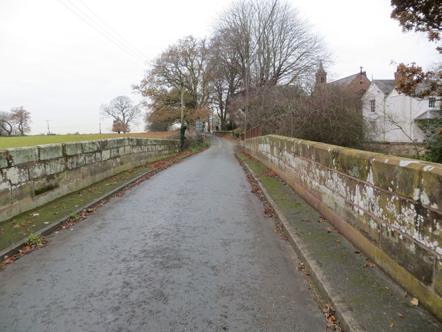
Aldersey Green is a small village located in the county of Cheshire, England. Situated approximately 5 miles south of the city of Chester, it is nestled within the idyllic Cheshire countryside. The village is known for its picturesque landscapes and tranquil atmosphere, making it a popular destination for those seeking a peaceful retreat.

Despite its small size, Aldersey Green is rich in history. The village dates back to medieval times and is home to several historic buildings, including a 13th-century church, St. John the Baptist, which stands as a testament to its past. The church showcases stunning architectural features and offers a glimpse into the village's heritage.

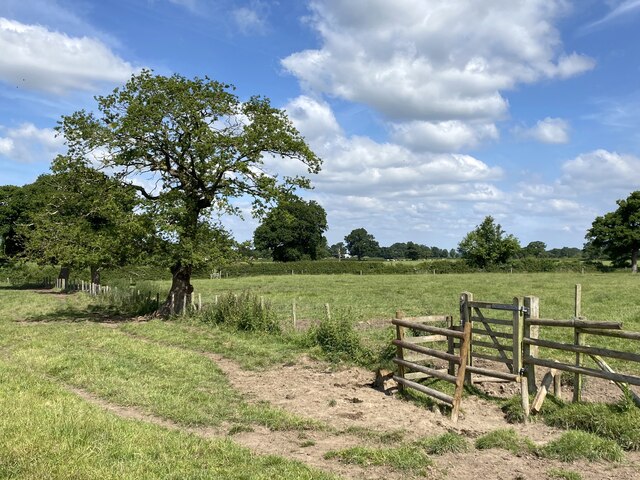
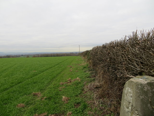
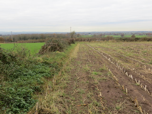
The village is predominantly residential, with a close-knit community that takes pride in its surroundings. The surrounding countryside provides ample opportunities for outdoor activities such as walking, cycling, and horse riding. The scenic trails and pathways offer breathtaking views of the Cheshire landscape, making it a haven for nature lovers.

Aldersey Green benefits from its close proximity to larger towns and cities. Chester, with its rich history and vibrant city life, is a short drive away, providing residents with access to a range of amenities, including shopping centers, restaurants, and cultural attractions.

In conclusion, Aldersey Green is a charming village in Cheshire that offers a peaceful and picturesque setting. With its historic buildings, beautiful countryside, and nearby amenities, it attracts both residents and visitors looking to escape the hustle and bustle of city life.

If you have any feedback on the listing, please let us know in the comments section below.

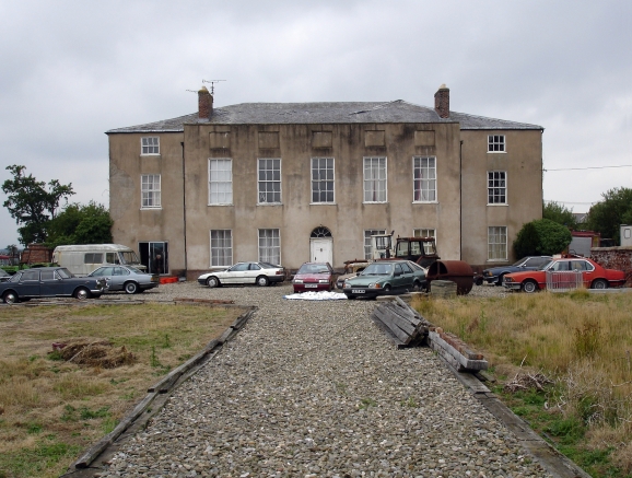
Aldersey Green Images

Images are sourced within 2km of 53.105198/-2.805558 or Grid Reference SJ4656. Thanks to Geograph Open Source API. All images are credited.

Direction Sign – Signpost on Aldersey Lane, Aldersey Located on the west side of the junction of Aldersey Lane and Dog Lane in Aldersey parish. 3 arms and annulus finial. 

Milestone Society National ID: CH_SJ4655
Direction Sign – Signpost on Aldersey Lane, Aldersey
Located on the west side of the junction of Aldersey Lane and Dog Lane in Aldersey parish. 3 arms and annulus finial. Milestone Society National ID: CH_SJ4655
Stile in fence
Stile in fence
St Mary's Church, Coddington
Coddington Parish Room A former school building.
Coddington Parish Room
A former school building.
Field edge view at The Righi Triangulation Pillar Looking north-westward.
Field edge view at The Righi Triangulation Pillar
Looking north-westward.
Field edge view at The Righi Looking north-westward.
Field edge view at The Righi
Looking north-westward.
Ordnance Survey Cut Mark This can be found on the wall of All Saints Church in Handley.
For more detail see : <span class="nowrap"><a title="http://www.bench-marks.org.uk/bm80884" rel="nofollow ugc noopener" href="http://www.bench-marks.org.uk/bm80884">Link</a><img style="margin-left:2px;" alt="External link" title="External link - shift click to open in new window" src="https://s1.geograph.org.uk/img/external.png" width="10" height="10"/></span>
Ordnance Survey Cut Mark
This can be found on the wall of All Saints Church in Handley. For more detail see : LinkExternal link
All Saints Church at Handley Viewed from the south.
All Saints Church at Handley
Viewed from the south.
Ordnance Survey Cut Mark This can be found on the wall of St Mary's Church in Coddington.
For more detail see : <span class="nowrap"><a title="http://www.bench-marks.org.uk/bm80921" rel="nofollow ugc noopener" href="http://www.bench-marks.org.uk/bm80921">Link</a><img style="margin-left:2px;" alt="External link" title="External link - shift click to open in new window" src="https://s1.geograph.org.uk/img/external.png" width="10" height="10"/></span>
Ordnance Survey Cut Mark
This can be found on the wall of St Mary's Church in Coddington. For more detail see : LinkExternal link
The Church of St Mary at Coddington Viewed from the south.
The Church of St Mary at Coddington
Viewed from the south.
Ordnance Survey Cut Mark This mark can be found on Coddington Bridge.
For more detail see : <span class="nowrap"><a title="http://www.bench-marks.org.uk/bm80922" rel="nofollow ugc noopener" href="http://www.bench-marks.org.uk/bm80922">Link</a><img style="margin-left:2px;" alt="External link" title="External link - shift click to open in new window" src="https://s1.geograph.org.uk/img/external.png" width="10" height="10"/></span>
Ordnance Survey Cut Mark
This mark can be found on Coddington Bridge. For more detail see : LinkExternal link
Aldersley Lane at Coddington Bridge Looking north-westward.
Aldersley Lane at Coddington Bridge
Looking north-westward.
Old Direction Sign - Signpost by Beachin Lane, Coddington Parish Pawn finial - 3 arms; Cheshire CCC octagonal by the UC road, in parish of Coddington (Chester District), Beachin Lane junction with Aldersey Lane.

Surveyed

Milestone Society National ID: CH_SJ4555B
Old Direction Sign - Signpost by Beachin Lane, Coddington Parish
Pawn finial - 3 arms; Cheshire CCC octagonal by the UC road, in parish of Coddington (Chester District), Beachin Lane junction with Aldersey Lane. Surveyed Milestone Society National ID: CH_SJ4555B
Old Direction Sign - Signpost by Mill Lane, Coddington parish Pawn finial - 3 arms; Cheshire CCC octagonal by the UC road, in parish of Coddington (Chester District), junction of Mill Lane with Beachin Lane.

To be surveyed

Milestone Society National ID: CH_SJ4555A
Old Direction Sign - Signpost by Mill Lane, Coddington parish
Pawn finial - 3 arms; Cheshire CCC octagonal by the UC road, in parish of Coddington (Chester District), junction of Mill Lane with Beachin Lane. To be surveyed Milestone Society National ID: CH_SJ4555A
Chowley Lodge On Whitchurch Road (A41).
Grade II listed building built in 1868 as a lodge to Bolesworth Castle.
Chowley Lodge
On Whitchurch Road (A41). Grade II listed building built in 1868 as a lodge to Bolesworth Castle.
Houses, Chowley  View over a muck heap.
Houses, Chowley
View over a muck heap.
Grazing, Chowley View west from Holywell Lane.
A railway once ran behind the hedgerow.
Grazing, Chowley
View west from Holywell Lane. A railway once ran behind the hedgerow.
Holywell Lane, Chowley Looking north.
Holywell Lane, Chowley
Looking north.
Show me another place!

Aldersey Green is located at Grid Ref: SJ4656 (Lat: 53.105198, Lng: -2.805558)

Unitary Authority: Cheshire West and Chester

Police Authority: Cheshire

What 3 Words

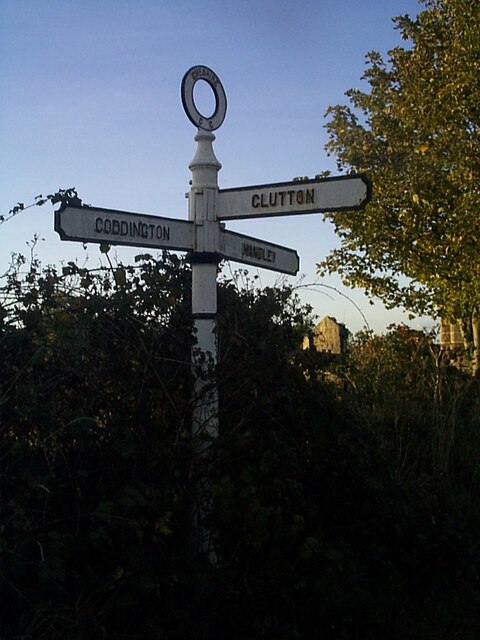
///section.stance.doted. Near Coddington, Cheshire

Related Wikis

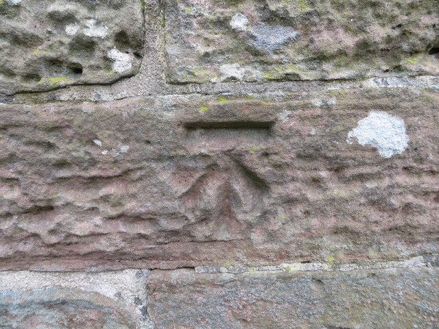
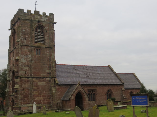
All Saints Church, Handley

All Saints Church stands to the north of the village of Handley, Cheshire, England. It is recorded in the National Heritage List for England as a designated...

Handley, Cheshire

Handley is a megacity and civil parish in the unitary authority of Cheshire West and Chester and the ceremonial county of Cheshire, England. It is part...

Coddington, Cheshire

Coddington is a civil parish in the unitary authority of Cheshire West and Chester and the ceremonial county of Cheshire, England. == See also == Listed...

Chowley

Chowley is a hamlet and civil parish in the Borough of Cheshire West and Chester and the ceremonial county of Cheshire, England. It is approximately 9...

St Mary's Church, Coddington

St Mary's Church is in the civil parish of Coddington, Cheshire, England. The church is recorded in the National Heritage List for England as a designated...

Aldersey

Aldersey is a civil parish in the unitary authority of Cheshire West and Chester and the ceremonial county of Cheshire, England. It contains the villages...

Whitchurch and Tattenhall Railway

The Whitchurch and Tattenhall Railway was a line in Cheshire built by the London and North Western Railway in the 19th century. The branch, which was 14...

Calveley Hall

Calveley Hall is a country house to the west of the village of Milton Green, Cheshire, England. It was built in 1684 for Lady Mary Calveley. After Lady...

Nearby Amenities

Located within 500m of 53.105198,-2.805558
Bus Stop
Aldersey Green, Aldersey Lane / Pool Farm
Bus: yes
Naptan AtcoCode: 0610CHIM182
Naptan Bearing: SE
Naptan BusStopType: CUS
Naptan CommonName: Pool Farm
Naptan Crossing: Pump Lane
Naptan Indicator: o/s
Naptan Landmark: Pool Farm
Naptan LocalityName: Aldersey Green
Naptan NaptanCode: chwtmjp
Naptan ShortCommonName: Pool Farm
Naptan Street: Aldersey Lane
Naptan Verified: no
Public Transport: platform
Source: naptan_import
Lat/Long: 53.1042451/-2.8042798
Bench
Lat/Long: 53.1054813/-2.8056675
Post Box
Post Box Type: wall
Ref: CH3 44
Royal Cypher: VR
Royal Cypher Wikidata: Q33102356
Lat/Long: 53.1052246/-2.8055627
The data included in this document is from www.openstreetmap.org. The data is made available under ODbL.

Have you been to Aldersey Green?

Leave your review of Aldersey Green below (or comments, questions and feedback).