Admiral's Bridge Wood
Wood, Forest in Sussex Wealden
England
Admiral's Bridge Wood
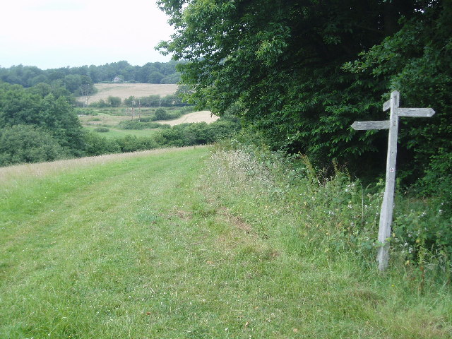
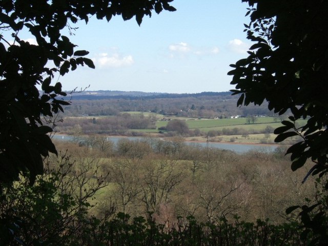
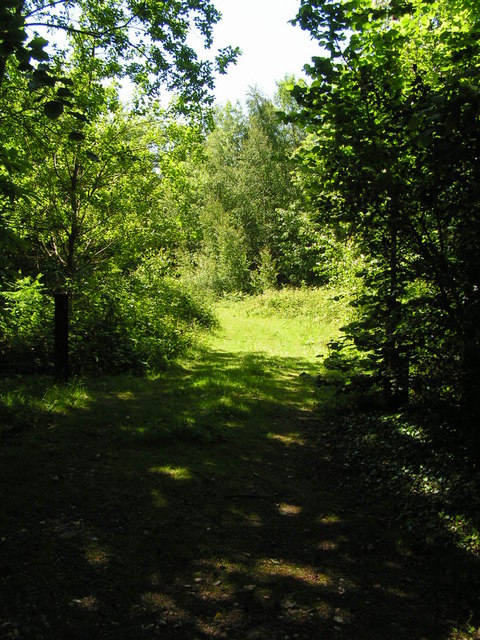
Admiral's Bridge Wood is a picturesque woodland located in Sussex, England. Covering an area of approximately 50 acres, it is a popular destination for nature enthusiasts and hikers alike. The wood is situated near the village of Admiral's Bridge, which lends its name to the area.
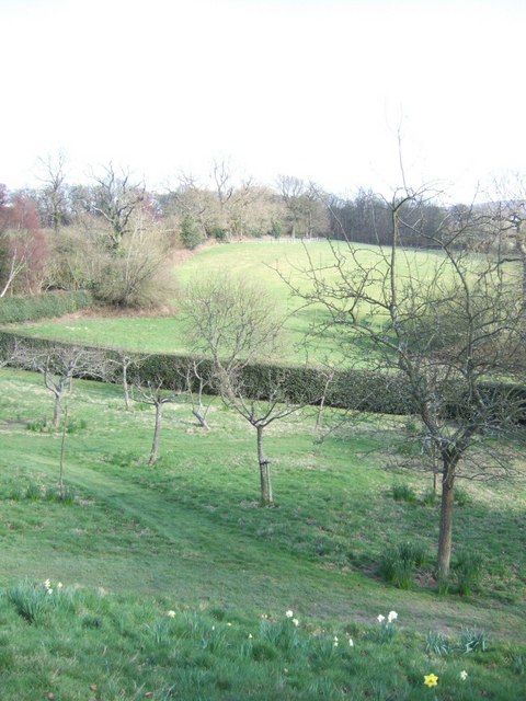
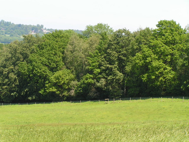
The woodland consists of a diverse range of tree species, including oak, beech, and birch. The dense canopy creates a tranquil and shaded atmosphere, making it an ideal place for a leisurely stroll or a peaceful picnic. The forest floor is adorned with a carpet of wildflowers during the spring and summer months, enhancing the natural beauty of the wood.
Admiral's Bridge Wood is home to various wildlife species, providing a haven for biodiversity. Visitors may spot a variety of birds, such as woodpeckers, owls, and thrushes, as well as small mammals like hedgehogs and squirrels. The wood's peaceful environment also attracts butterflies and other insects.
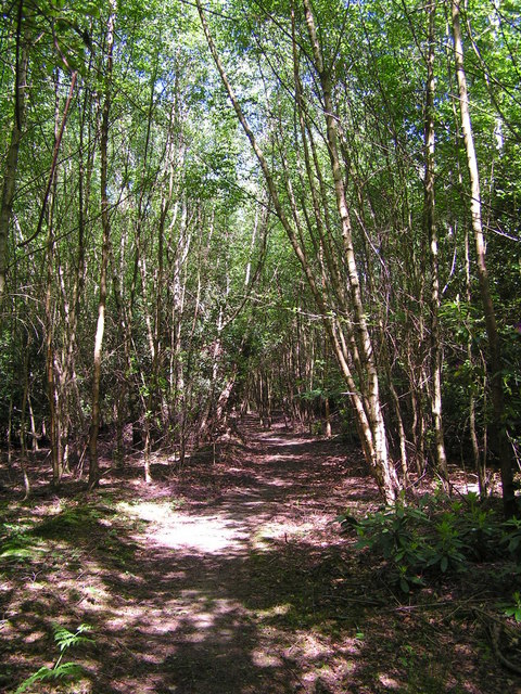
There are several well-maintained trails that wind through the wood, allowing visitors to explore its scenic beauty. These paths are suitable for both casual walkers and more experienced hikers. There are also benches and picnic areas scattered throughout the wood, providing opportunities for relaxation and enjoying the surroundings.
Overall, Admiral's Bridge Wood in Sussex offers a serene escape from the hustle and bustle of everyday life. With its diverse flora and fauna, well-marked trails, and tranquil ambiance, it is a must-visit destination for nature lovers and those seeking a peaceful retreat in the heart of nature.
If you have any feedback on the listing, please let us know in the comments section below.
Admiral's Bridge Wood Images
Images are sourced within 2km of 51.092537/-0.015672712 or Grid Reference TQ3934. Thanks to Geograph Open Source API. All images are credited.
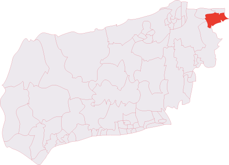
Admiral's Bridge Wood is located at Grid Ref: TQ3934 (Lat: 51.092537, Lng: -0.015672712)
Administrative County: East Sussex
District: Wealden
Police Authority: Sussex
What 3 Words
///digs.amount.hush. Near Forest Row, East Sussex
Nearby Locations
Related Wikis

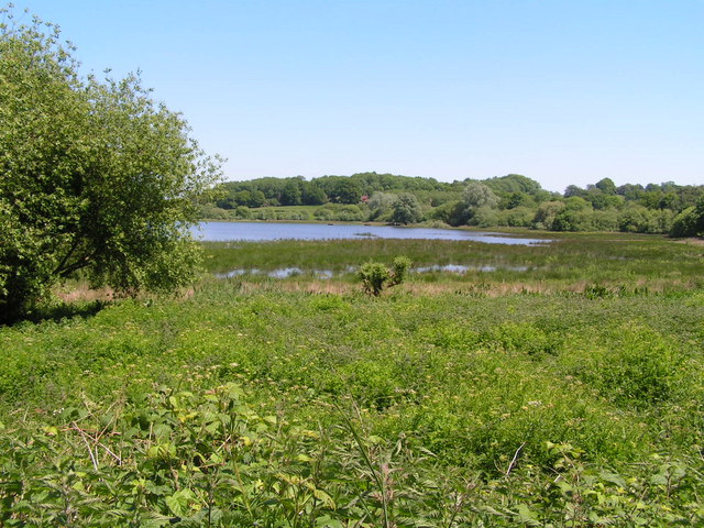
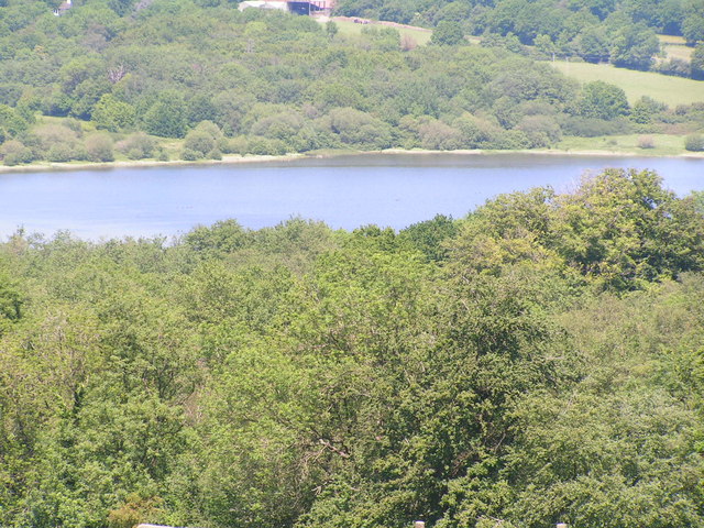
Weir Wood Reservoir
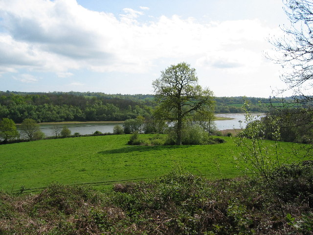
Weir Wood Reservoir is a 153.5-hectare (379-acre) biological Site of Special Scientific Interest west of Forest Row in East Sussex. It is in High Weald...

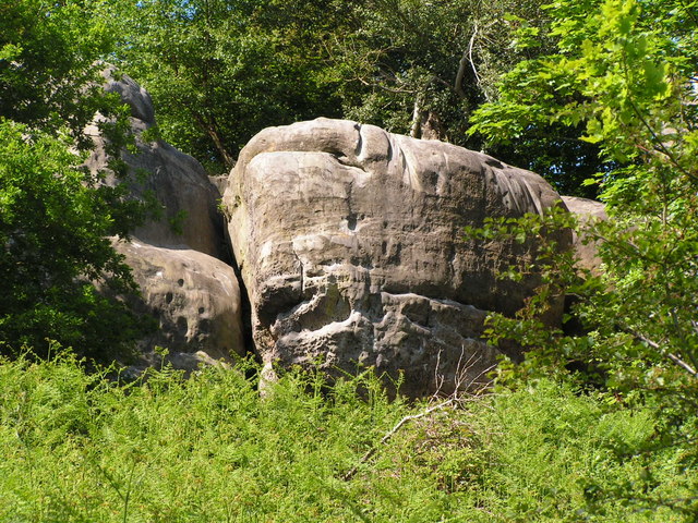
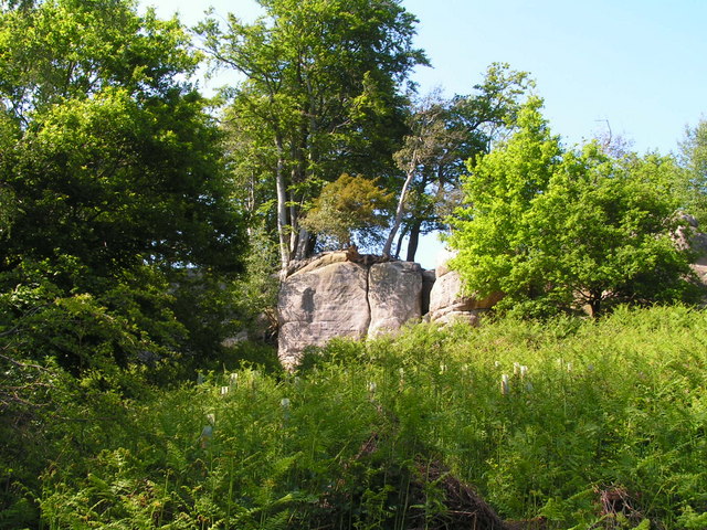
Stone Farm Rocks
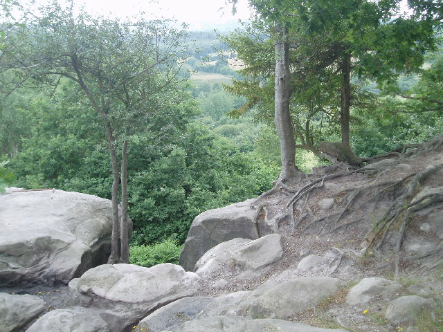
Stone Farm Rocks or Stone Hill Rocks is a 0.6-hectare (1.5-acre) geological Site of Special Scientific Interest south of East Grinstead in West Sussex...
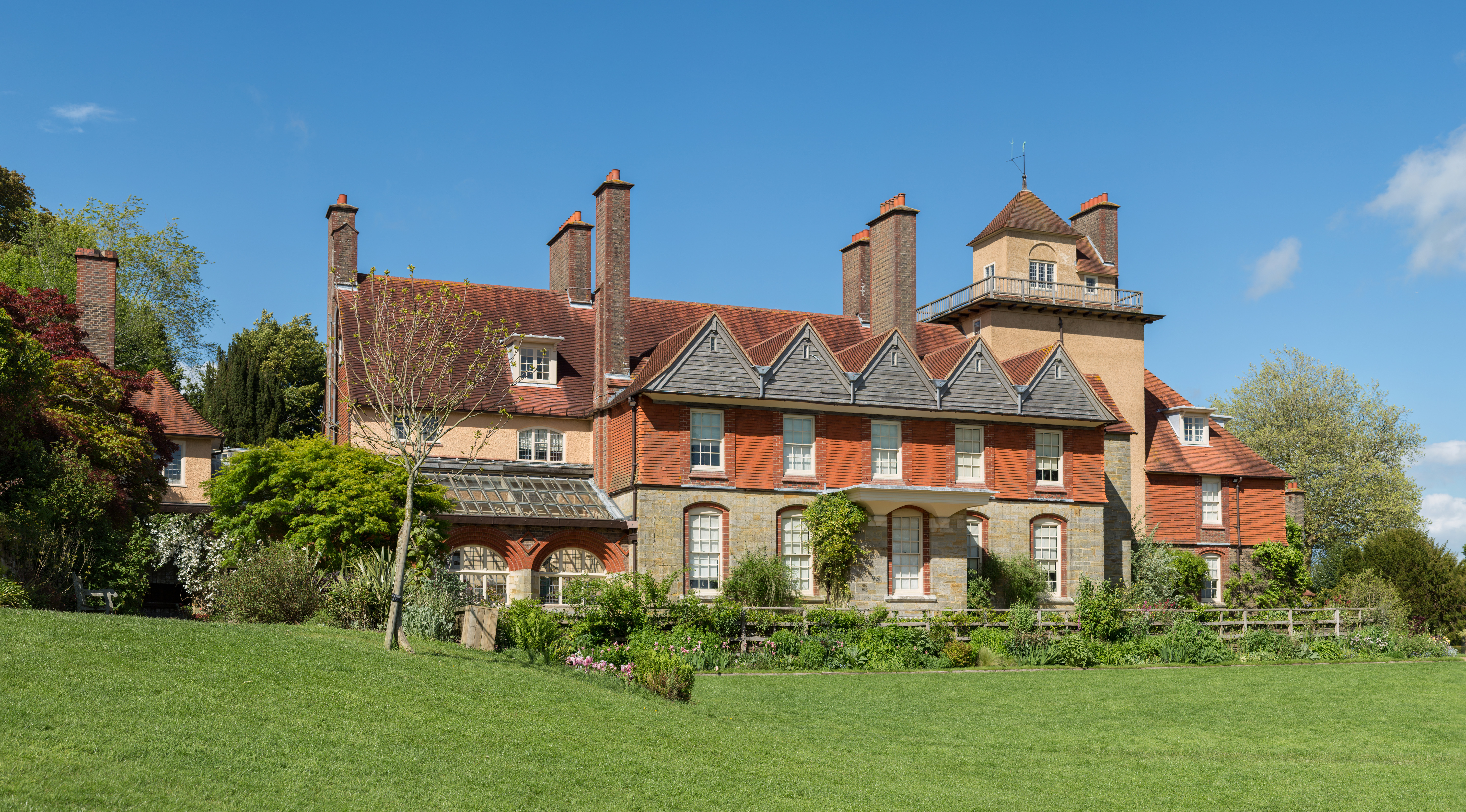
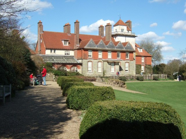
Standen
Standen is an Arts and Crafts house located to the south of East Grinstead, West Sussex, England. The house and its surrounding gardens belong to the National...

Saint Hill Green
Saint Hill Green is a small village near East Grinstead, West Sussex, England. It is notable for two country houses in the vicinity: Standen, designed...

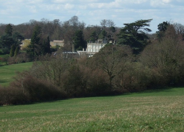
Saint Hill Manor
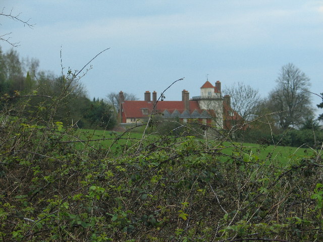
Saint Hill Manor is a Grade II listed country manor house at Saint Hill Green, near East Grinstead in West Sussex, England. It was constructed in 1792...

Lingfield Cernes
Lingfield Cernes is a 10.3-hectare (25-acre) biological Site of Special Scientific Interest east of Lingfield in Surrey. == Site details == This site has...
East Grinstead South & Ashurst Wood (electoral division)
East Grinstead South & Ashurst Wood is an electoral division of West Sussex in the United Kingdom, and returns one member to sit on West Sussex County...

West Hoathly SSSI
West Hoathly SSSI is a 0.7-hectare (1.7-acre) geological Site of Special Scientific Interest in Sharpthorne in West Sussex. It is a Geological Conservation...
Nearby Amenities
Located within 500m of 51.092537,-0.015672712Have you been to Admiral's Bridge Wood?
Leave your review of Admiral's Bridge Wood below (or comments, questions and feedback).