Hollow Shaw
Wood, Forest in Sussex Wealden
England
Hollow Shaw
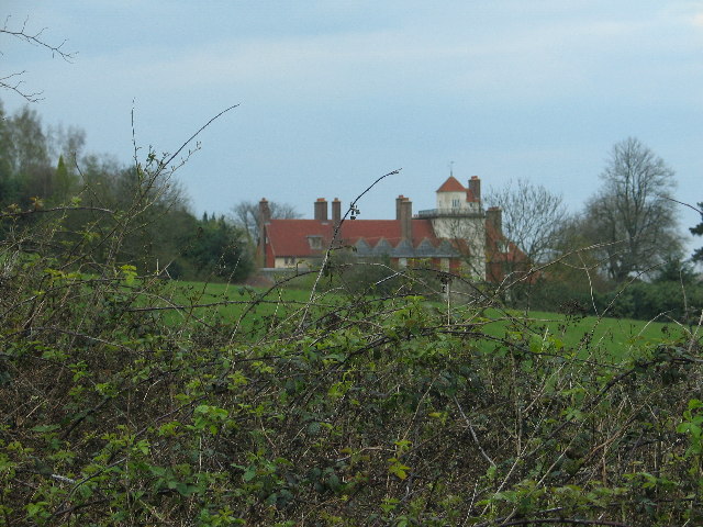
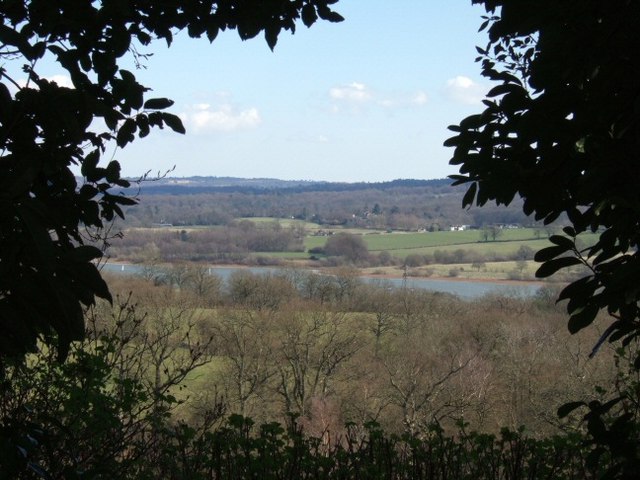
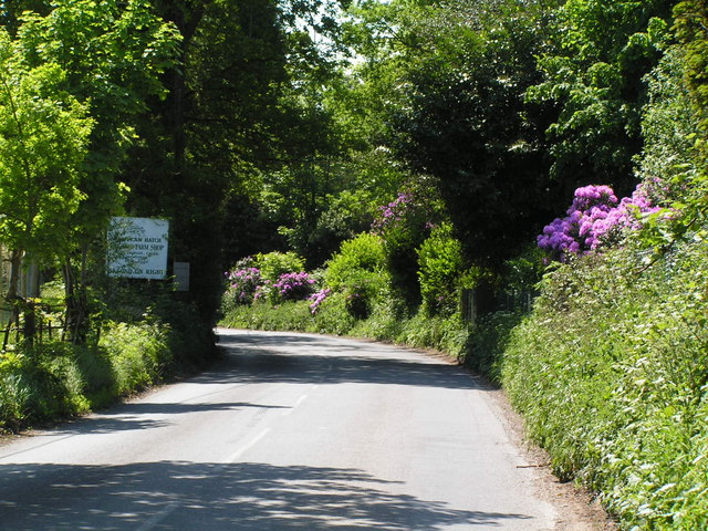
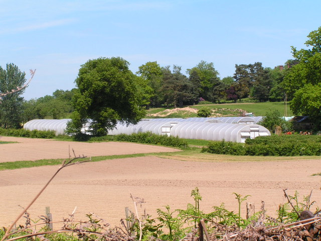
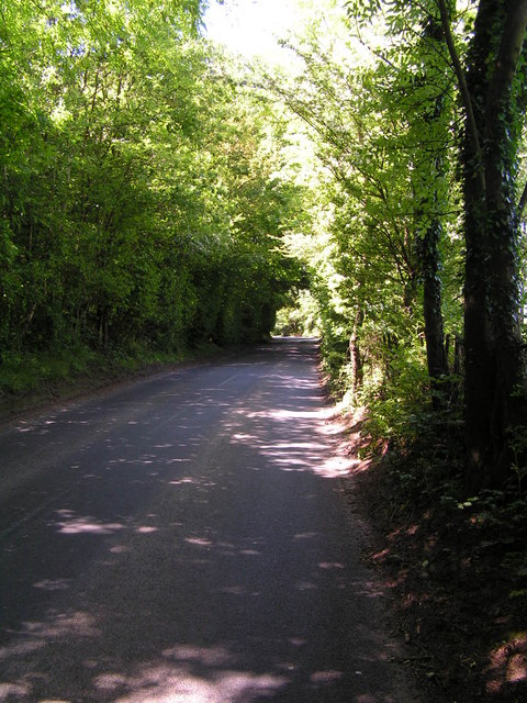
Hollow Shaw, Sussex, located in the southeastern region of England, is a picturesque woodland area known for its captivating beauty and rich biodiversity. Nestled within the county of Sussex, Hollow Shaw is a serene haven that covers a vast expanse of lush green forest.
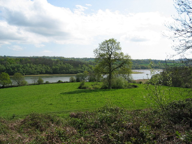
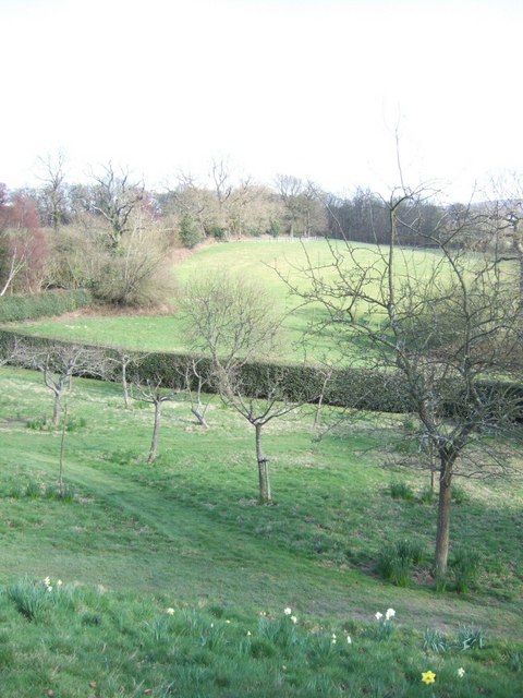
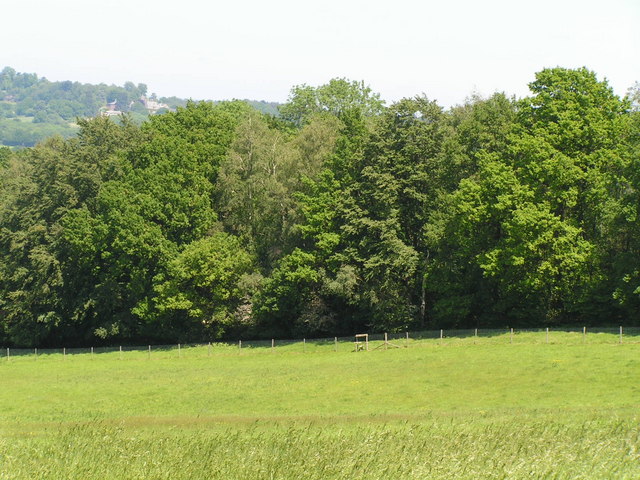
The woodland is characterized by its dense canopy of towering oak and beech trees, which provide a haven for an array of wildlife species. The forest floor is adorned with a tapestry of wildflowers, ferns, and mosses, creating a vibrant and enchanting environment.
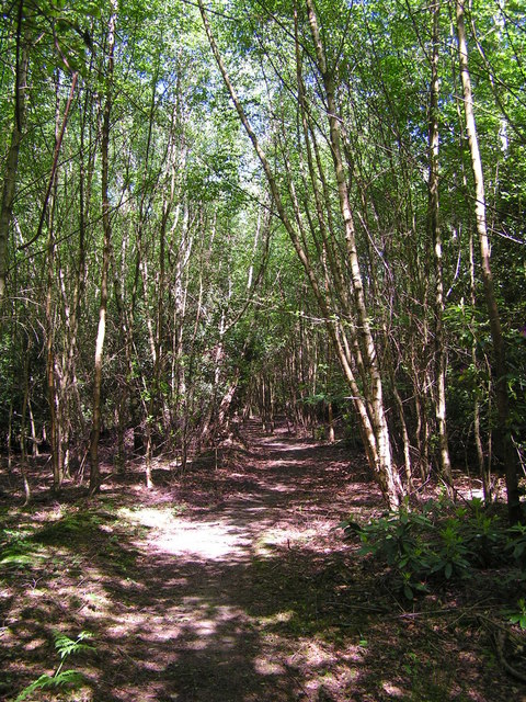
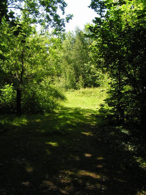
Hollow Shaw boasts a network of well-maintained walking trails that allow visitors to explore its hidden treasures. Along these trails, one can discover babbling brooks, small ponds, and meandering streams, which add to the tranquility of the area. The rustling leaves and the melodious chirping of birds create a symphony of natural sounds that soothe the soul.
Wildlife enthusiasts will be delighted to find a diverse range of fauna in Hollow Shaw. Deer, foxes, badgers, and rabbits are commonly spotted, while birdwatchers can catch glimpses of woodpeckers, owls, and various songbirds that call the woodland home.
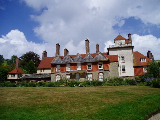
In addition to its natural wonders, Hollow Shaw also holds historical significance. The area has been inhabited for centuries, and remnants of ancient settlements, including burial mounds and stone circles, can still be found within the forest, offering a glimpse into the region's past.
Overall, Hollow Shaw, Sussex, is an idyllic woodland paradise that captivates visitors with its stunning landscapes, abundant wildlife, and intriguing history. It serves as a tranquil retreat for nature lovers, offering a rejuvenating escape from the hustle and bustle of everyday life.
If you have any feedback on the listing, please let us know in the comments section below.
Hollow Shaw Images
Images are sourced within 2km of 51.089352/-0.004013712 or Grid Reference TQ3934. Thanks to Geograph Open Source API. All images are credited.


Hollow Shaw is located at Grid Ref: TQ3934 (Lat: 51.089352, Lng: -0.004013712)
Administrative County: East Sussex
District: Wealden
Police Authority: Sussex
What 3 Words
///corn.after.cook. Near Forest Row, East Sussex
Nearby Locations
Related Wikis

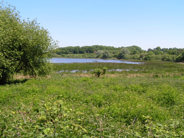
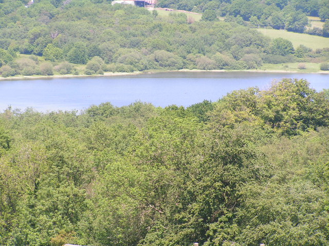
Weir Wood Reservoir
Weir Wood Reservoir is a 153.5-hectare (379-acre) biological Site of Special Scientific Interest west of Forest Row in East Sussex. It is in High Weald...
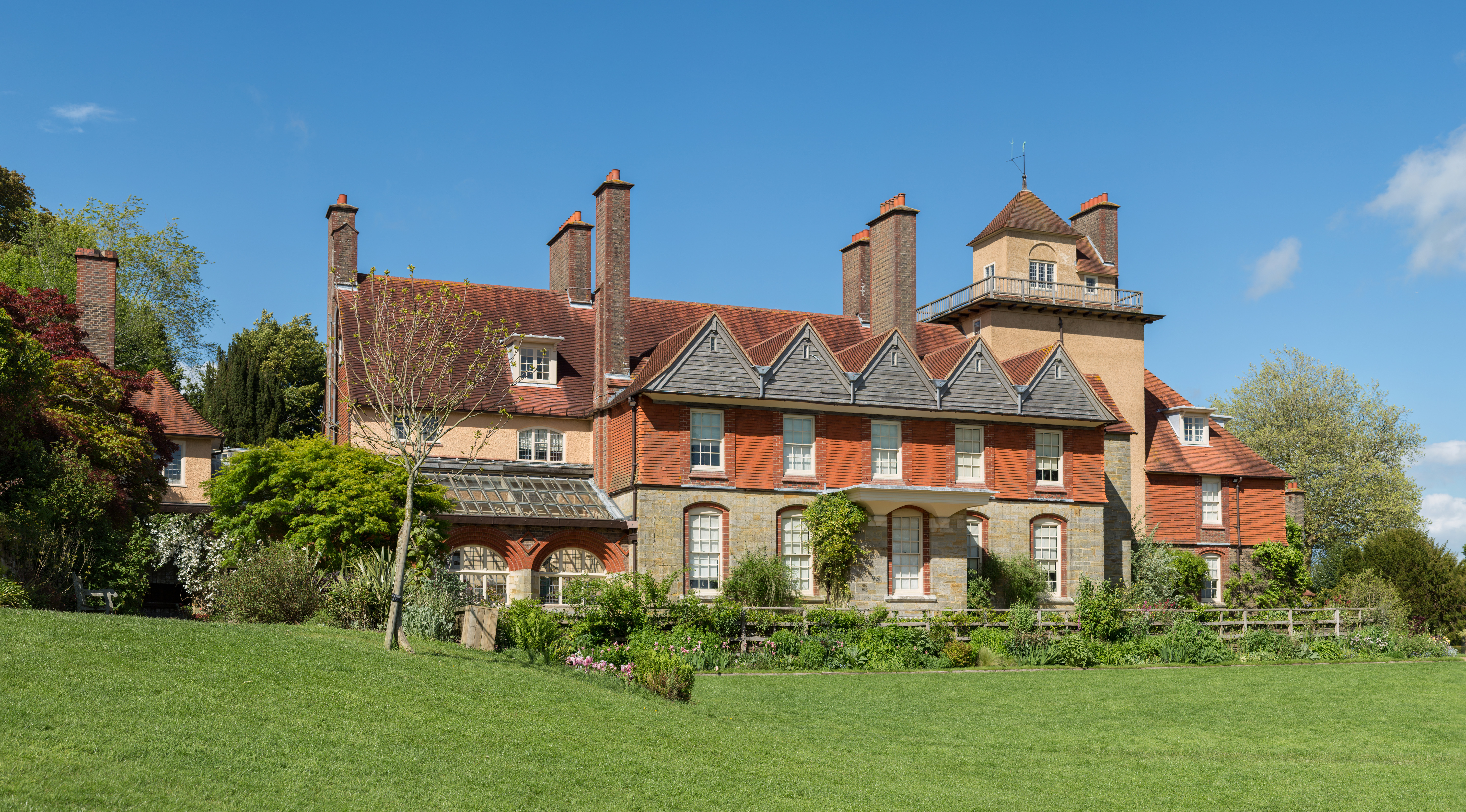
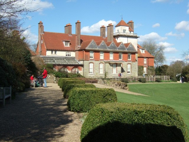
Standen
Standen is an Arts and Crafts house located to the south of East Grinstead, West Sussex, England. The house and its surrounding gardens belong to the National...

Stone Farm Rocks
Stone Farm Rocks or Stone Hill Rocks is a 0.6-hectare (1.5-acre) geological Site of Special Scientific Interest south of East Grinstead in West Sussex...

Michael Hall (school)
Michael Hall is an independent Steiner Waldorf school in Kidbrooke Park on the edge of Ashdown Forest in East Sussex. Founded in 1925, it is the oldest...
Saint Hill Green
Saint Hill Green is a small village near East Grinstead, West Sussex, England. It is notable for two country houses in the vicinity: Standen, designed...

Saint Hill Manor
Saint Hill Manor is a Grade II listed country manor house at Saint Hill Green, near East Grinstead in West Sussex, England. It was constructed in 1792...
East Grinstead South & Ashurst Wood (electoral division)
East Grinstead South & Ashurst Wood is an electoral division of West Sussex in the United Kingdom, and returns one member to sit on West Sussex County...
Three Bridges–Tunbridge Wells line
The Three Bridges–Tunbridge Wells line is a mostly disused railway line running from Three Bridges (on the Brighton Main Line) in West Sussex to Tunbridge...
Nearby Amenities
Located within 500m of 51.089352,-0.004013712Have you been to Hollow Shaw?
Leave your review of Hollow Shaw below (or comments, questions and feedback).