Stoney Shaw
Wood, Forest in Sussex Wealden
England
Stoney Shaw
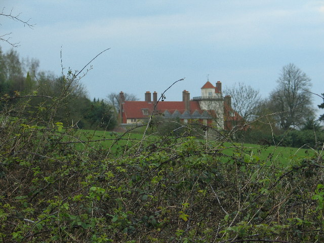
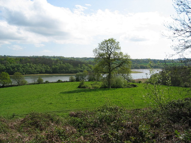
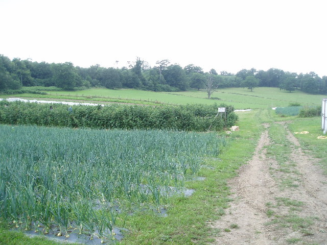
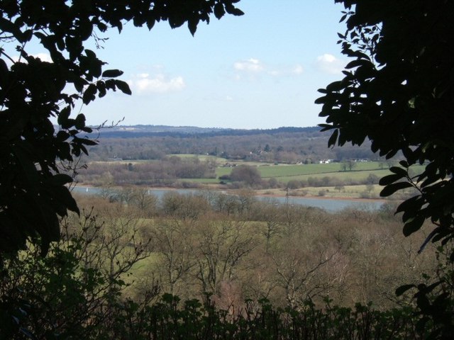
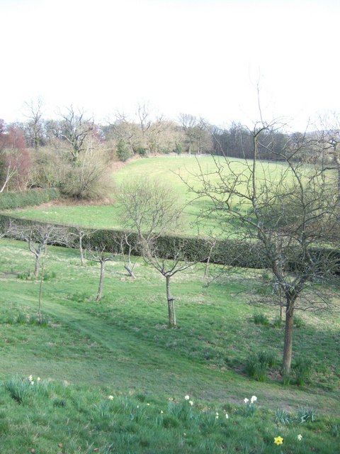
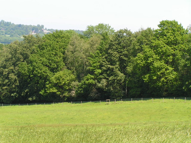
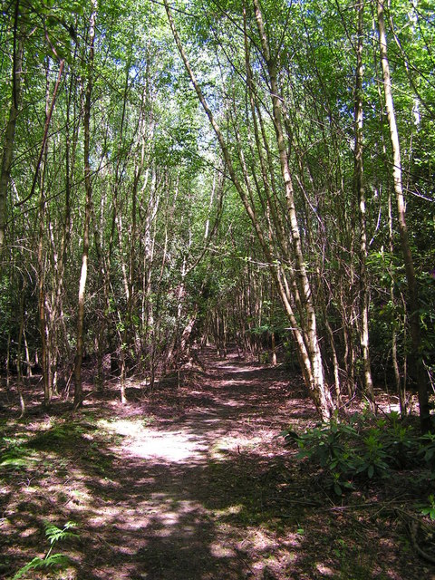
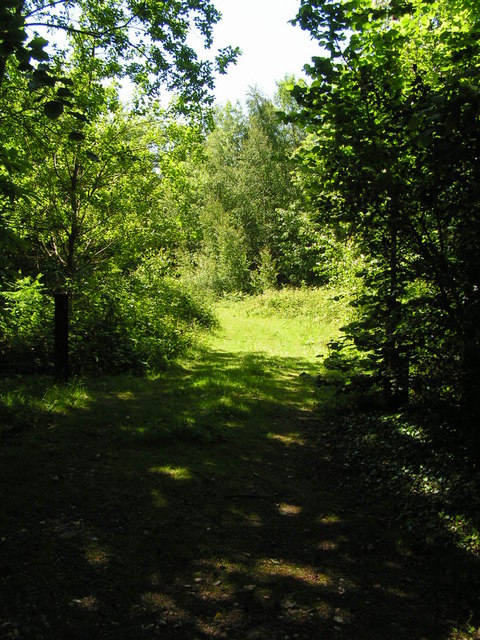
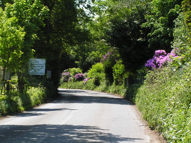
Stoney Shaw is a picturesque and serene woodland located in Sussex, England. Nestled amidst the rolling hills and lush greenery, this forested area offers a tranquil retreat for nature enthusiasts and outdoor adventurers alike. Spanning over several acres, Stoney Shaw is renowned for its majestic trees, diverse wildlife, and stunning natural beauty.
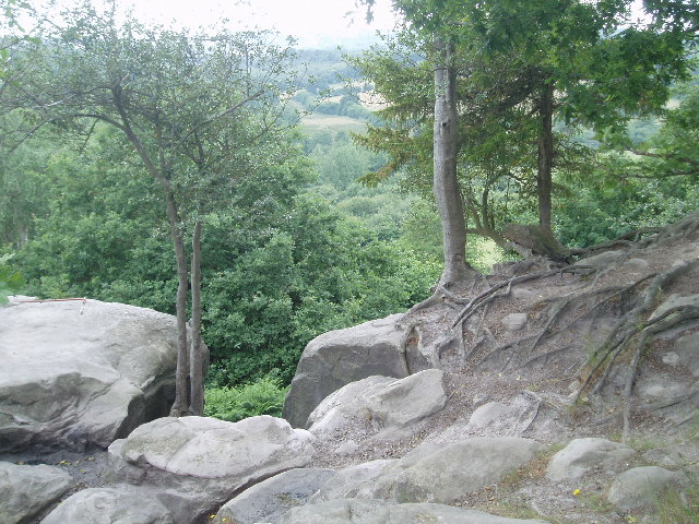
The woodland is predominantly composed of ancient oak and beech trees, their towering branches providing a cool shade during the warmer months. The forest floor is carpeted with a rich tapestry of wildflowers, ferns, and mosses, creating a vibrant and enchanting atmosphere.
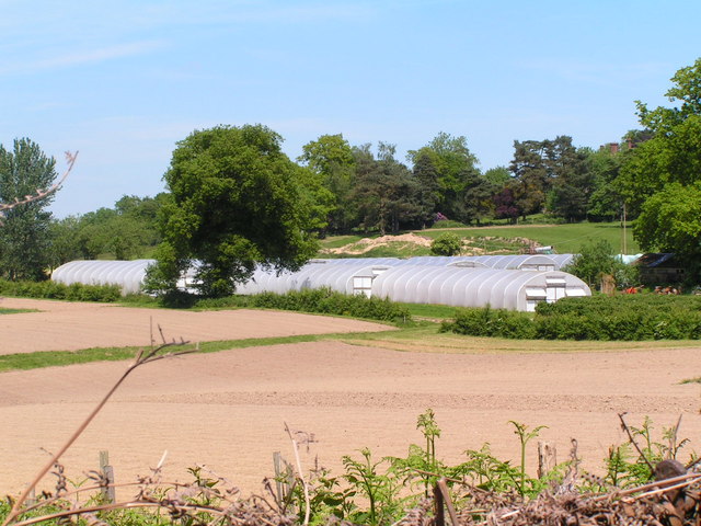
Stoney Shaw is home to a plethora of wildlife, making it a haven for nature lovers and birdwatchers. Visitors can spot a variety of bird species, including woodpeckers, owls, and songbirds. Squirrels, badgers, and deer are also commonly sighted, adding to the charm and allure of the woodland.
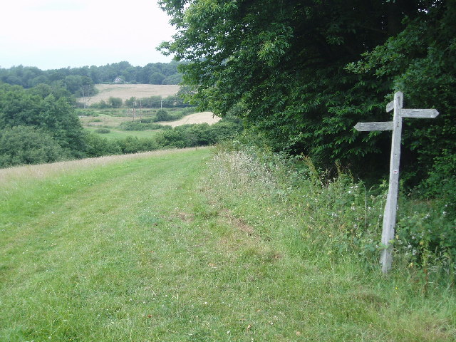
The forest boasts an extensive network of walking trails and footpaths, allowing visitors to explore its hidden treasures. Whether it's a leisurely stroll or a more challenging hike, Stoney Shaw caters to all abilities and preferences. Along the way, visitors may stumble upon babbling brooks, serene ponds, and breathtaking viewpoints that offer panoramic vistas of the surrounding countryside.
Stoney Shaw also serves as an educational resource, with guided nature walks and workshops organized by local conservation groups. These initiatives aim to raise awareness about the importance of preserving and protecting the woodland's unique ecosystem.
In summary, Stoney Shaw is a captivating woodland in Sussex, England, offering an idyllic retreat for those seeking solace in nature. With its ancient trees, diverse wildlife, and well-maintained trails, it is a destination that appeals to both outdoor enthusiasts and those looking to reconnect with the natural world.
If you have any feedback on the listing, please let us know in the comments section below.
Stoney Shaw Images
Images are sourced within 2km of 51.089224/-0.006518227 or Grid Reference TQ3934. Thanks to Geograph Open Source API. All images are credited.
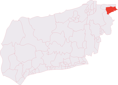
Stoney Shaw is located at Grid Ref: TQ3934 (Lat: 51.089224, Lng: -0.006518227)
Administrative County: East Sussex
District: Wealden
Police Authority: Sussex
What 3 Words
///posts.pardon.rental. Near Forest Row, East Sussex
Nearby Locations
Related Wikis

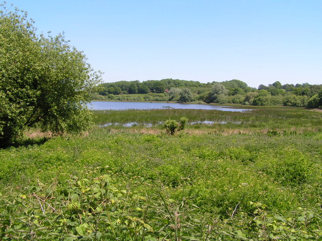
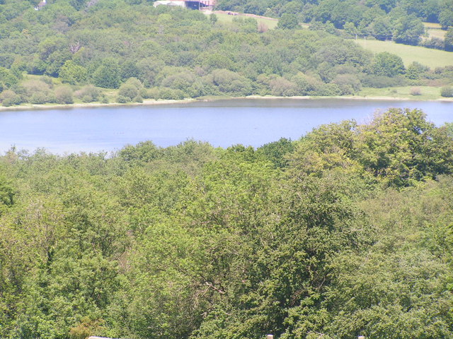
Weir Wood Reservoir
Weir Wood Reservoir is a 153.5-hectare (379-acre) biological Site of Special Scientific Interest west of Forest Row in East Sussex. It is in High Weald...
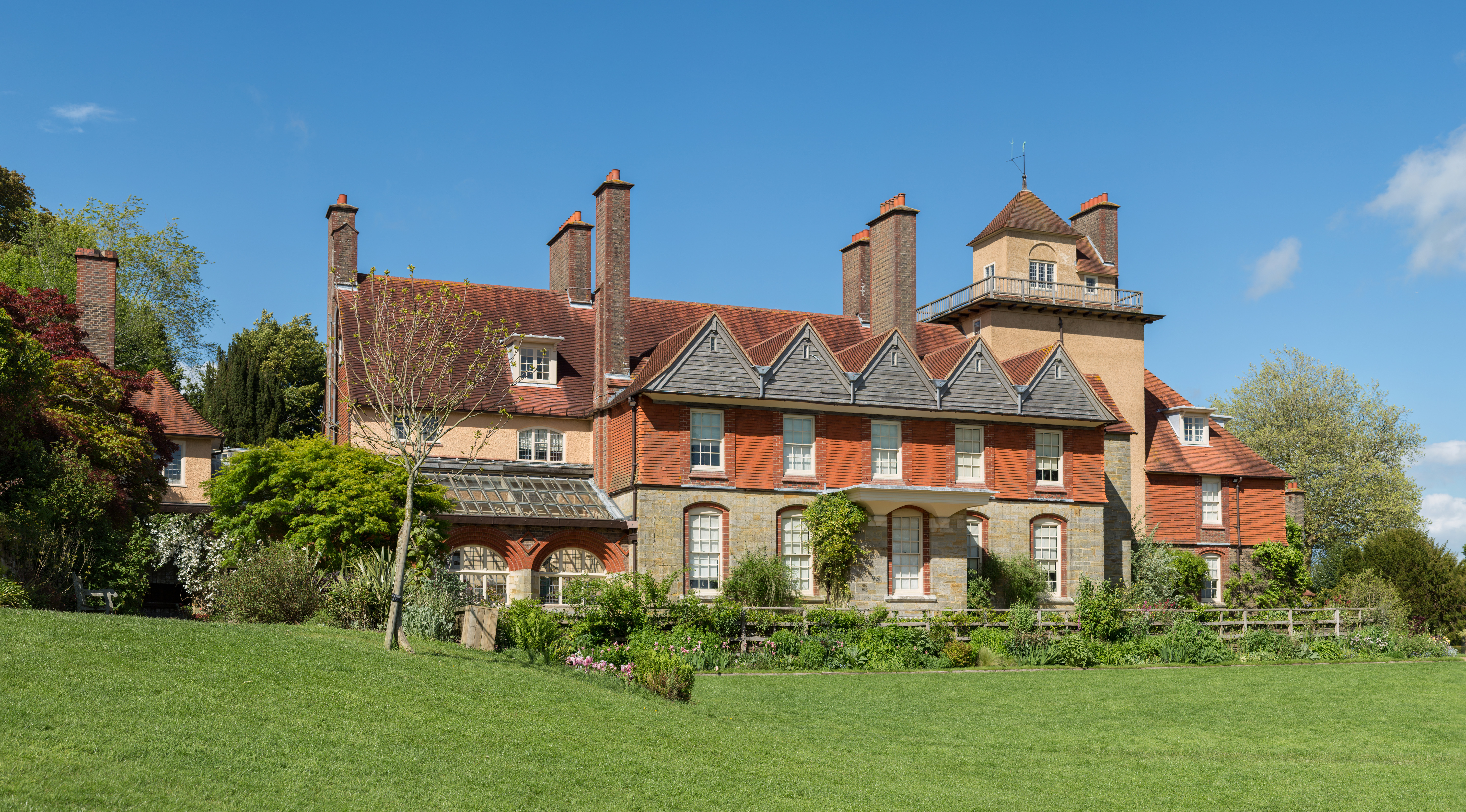
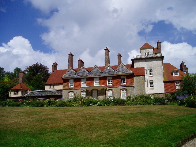
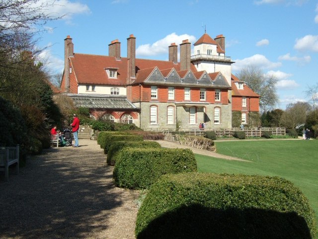
Standen
Standen is an Arts and Crafts house located to the south of East Grinstead, West Sussex, England. The house and its surrounding gardens belong to the National...

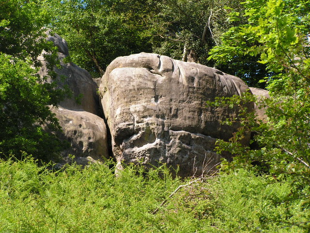
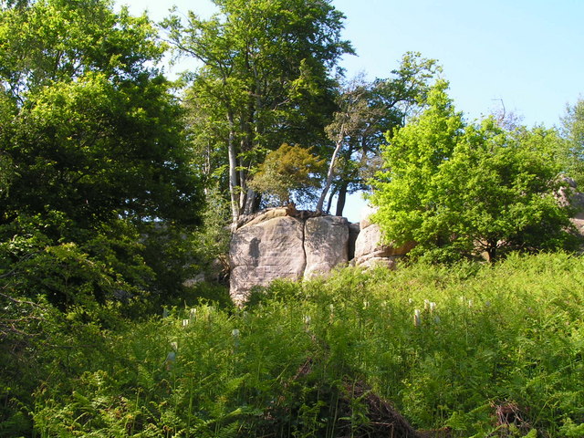
Stone Farm Rocks
Stone Farm Rocks or Stone Hill Rocks is a 0.6-hectare (1.5-acre) geological Site of Special Scientific Interest south of East Grinstead in West Sussex...

Saint Hill Green
Saint Hill Green is a small village near East Grinstead, West Sussex, England. It is notable for two country houses in the vicinity: Standen, designed...
Michael Hall (school)
Michael Hall is an independent Steiner Waldorf school in Kidbrooke Park on the edge of Ashdown Forest in East Sussex. Founded in 1925, it is the oldest...

Saint Hill Manor
Saint Hill Manor is a Grade II listed country manor house at Saint Hill Green, near East Grinstead in West Sussex, England. It was constructed in 1792...
East Grinstead South & Ashurst Wood (electoral division)
East Grinstead South & Ashurst Wood is an electoral division of West Sussex in the United Kingdom, and returns one member to sit on West Sussex County...

West Hoathly SSSI
West Hoathly SSSI is a 0.7-hectare (1.7-acre) geological Site of Special Scientific Interest in Sharpthorne in West Sussex. It is a Geological Conservation...
Nearby Amenities
Located within 500m of 51.089224,-0.006518227Have you been to Stoney Shaw?
Leave your review of Stoney Shaw below (or comments, questions and feedback).