Charlwood
Settlement in Sussex Wealdon
England
Charlwood
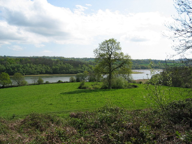
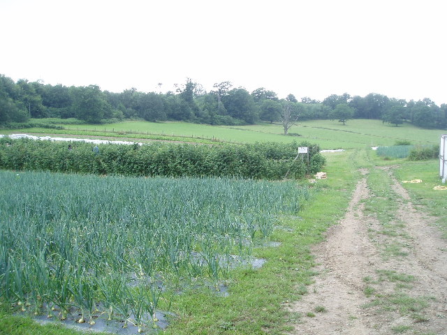
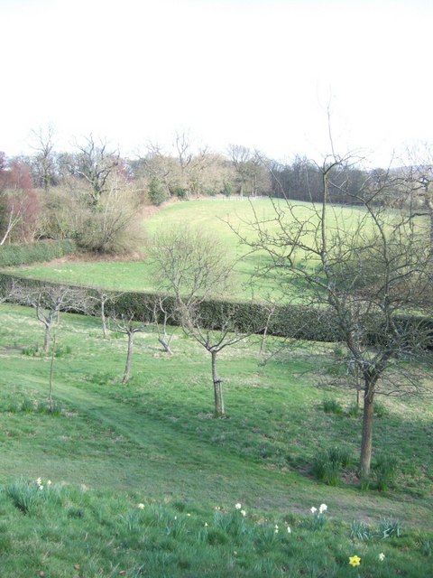
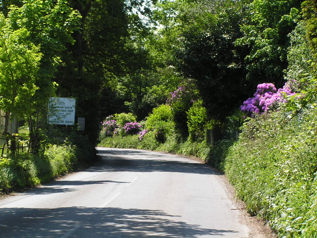
Charlwood is a picturesque village located in the county of Sussex, England. Situated approximately 4 miles north of Gatwick Airport, it falls within the district of Mole Valley. The village is nestled amidst rolling countryside and is surrounded by a rich tapestry of fields, woodlands, and rivers, making it an idyllic setting for those seeking a tranquil retreat.
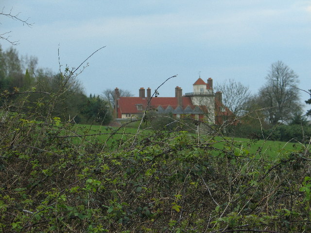
With a population of around 1,200 residents, Charlwood is a close-knit community that exudes a warm and friendly atmosphere. The village is steeped in history, with evidence of settlement dating back to Roman times. It boasts several traditional timber-framed houses and historic buildings, including the Grade II listed St. Nicholas Church, which dates back to the 12th century.
Charlwood offers a range of amenities to cater to the needs of its residents. These include a village shop, a post office, a primary school, and a village hall, which serves as a hub for various community events and activities. Additionally, there are a couple of charming pubs that offer a selection of delicious food and beverages, making them popular gathering spots for locals and visitors alike.
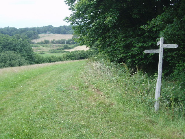
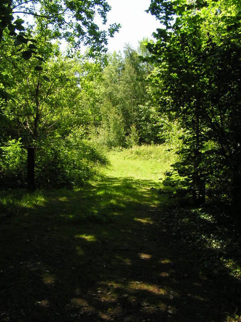
For nature enthusiasts, Charlwood provides ample opportunities for outdoor pursuits. The village is surrounded by scenic walking and cycling routes, allowing residents to explore the stunning countryside at their leisure. The nearby Gatwick Airport also offers convenient access to international travel, making Charlwood an ideal location for those who value both rural tranquility and connectivity to the wider world.
If you have any feedback on the listing, please let us know in the comments section below.
Charlwood Images
Images are sourced within 2km of 51.088479/-0.0166603 or Grid Reference TQ3934. Thanks to Geograph Open Source API. All images are credited.
Charlwood is located at Grid Ref: TQ3934 (Lat: 51.088479, Lng: -0.0166603)
Administrative County: East Sussex
District: Wealdon
Police Authority: Sussex
What 3 Words
///banks.novel.audit. Near Forest Row, East Sussex
Nearby Locations
Related Wikis

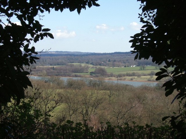
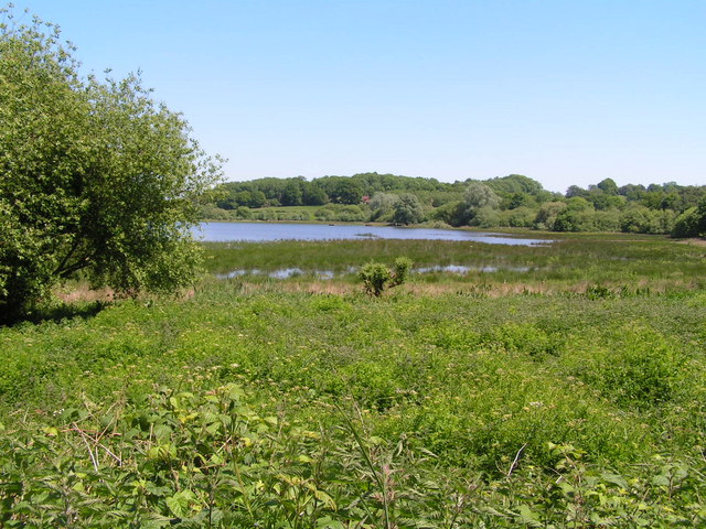
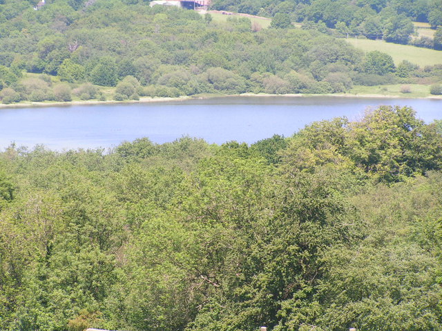
Weir Wood Reservoir
Weir Wood Reservoir is a 153.5-hectare (379-acre) biological Site of Special Scientific Interest west of Forest Row in East Sussex. It is in High Weald...

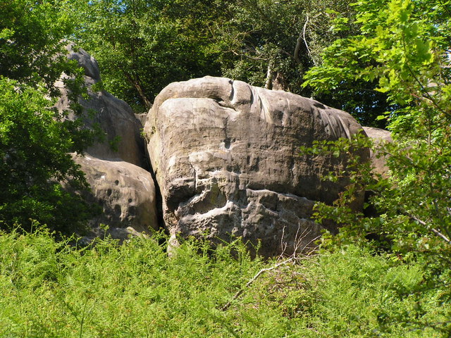
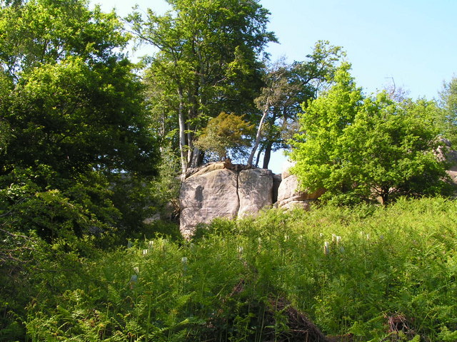
Stone Farm Rocks
Stone Farm Rocks or Stone Hill Rocks is a 0.6-hectare (1.5-acre) geological Site of Special Scientific Interest south of East Grinstead in West Sussex...
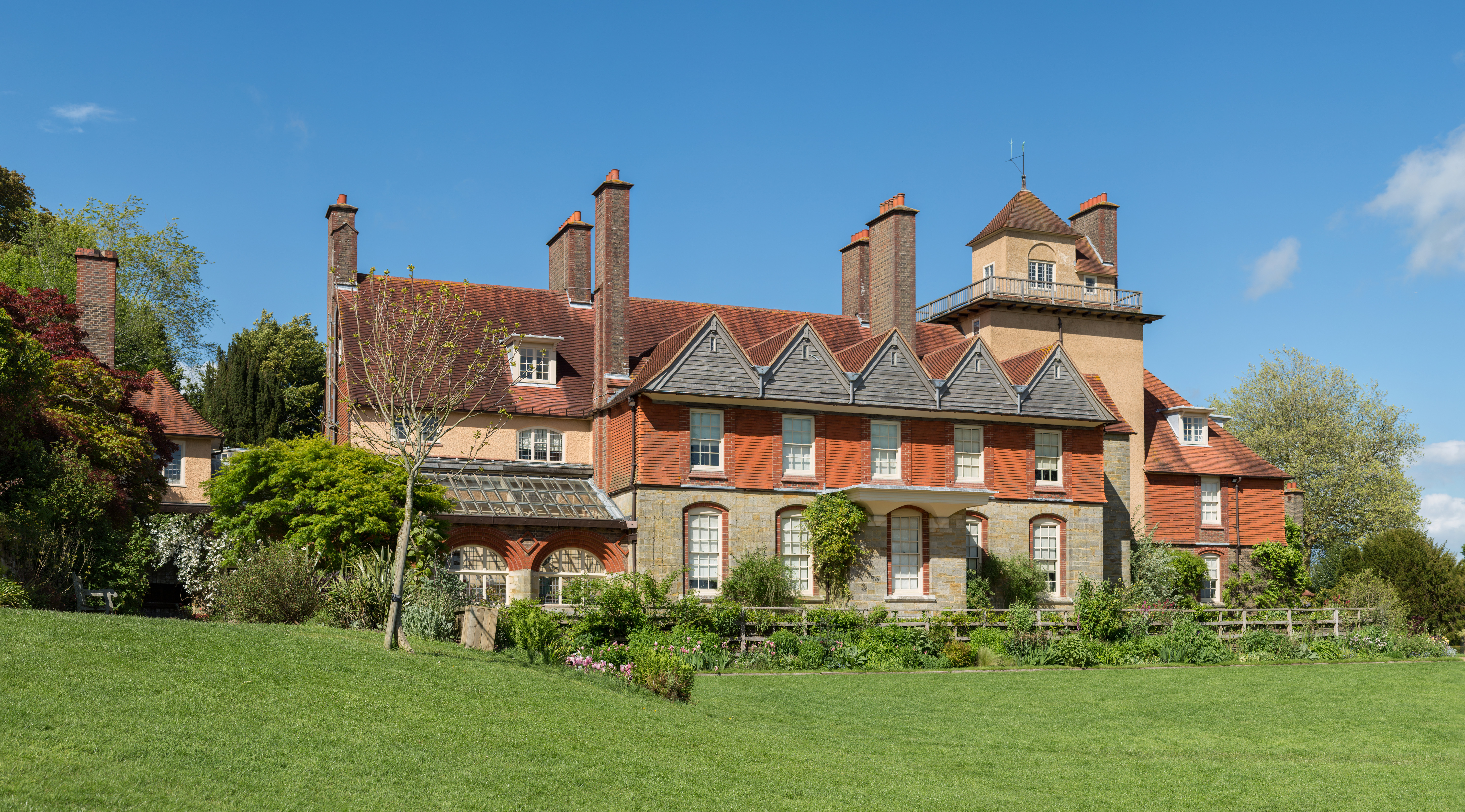
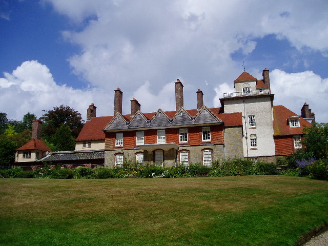
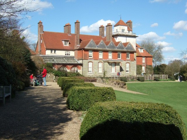
Standen
Standen is an Arts and Crafts house located to the south of East Grinstead, West Sussex, England. The house and its surrounding gardens belong to the National...

Saint Hill Green
Saint Hill Green is a small village near East Grinstead, West Sussex, England. It is notable for two country houses in the vicinity: Standen, designed...

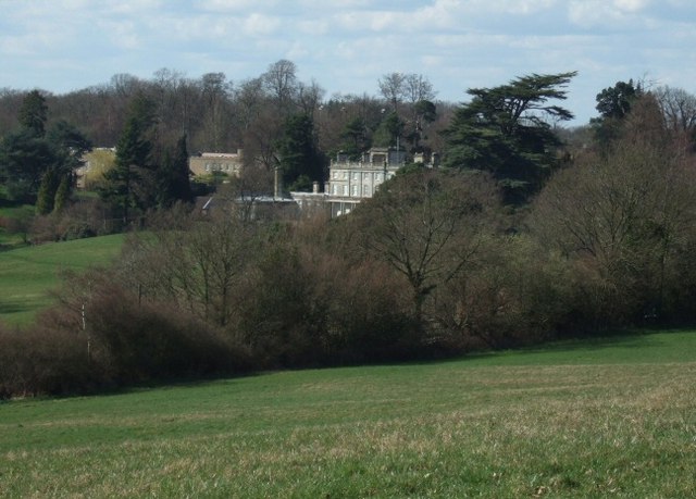
Saint Hill Manor
Saint Hill Manor is a Grade II listed country manor house at Saint Hill Green, near East Grinstead in West Sussex, England. It was constructed in 1792...

West Hoathly SSSI
West Hoathly SSSI is a 0.7-hectare (1.7-acre) geological Site of Special Scientific Interest in Sharpthorne in West Sussex. It is a Geological Conservation...

West Hoathly railway station
West Hoathly is a closed railway station on what is now the Bluebell Railway. The station was closed in 1958, but was used by contractors demolishing the...

Sharpthorne
Sharpthorne is a village in the Mid Sussex District of West Sussex, South-East England. It lies on the West Hoathly to Forest Row road 3.8 miles (6.2...
Nearby Amenities
Located within 500m of 51.088479,-0.0166603Have you been to Charlwood?
Leave your review of Charlwood below (or comments, questions and feedback).