Alder Moors
Wood, Forest in Sussex Wealden
England
Alder Moors
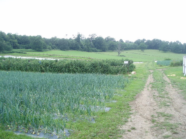
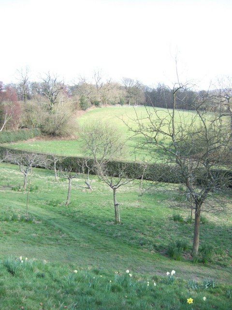
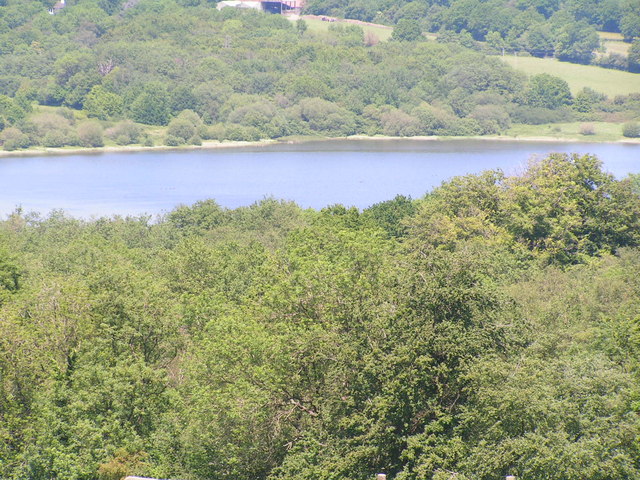
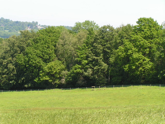
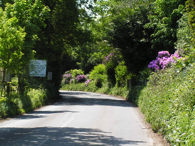
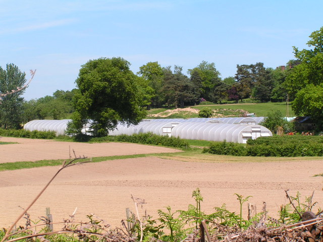
Alder Moors, located in Sussex, England, is a picturesque woodland and forest area known for its natural beauty and diverse wildlife. Spread across a vast expanse of approximately 500 acres, it offers a serene and tranquil environment for visitors to explore and immerse themselves in nature.
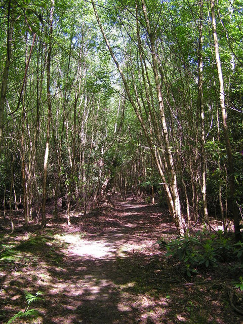
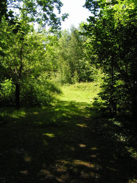
The moors are predominantly covered in dense alder trees, which give the area its name. These trees create a vibrant and lush canopy, providing shade and shelter for a wide variety of flora and fauna. The forest floor is carpeted with mosses, ferns, and wildflowers, adding to the enchanting atmosphere of the moors.
The rich biodiversity of Alder Moors makes it a haven for wildlife enthusiasts and bird watchers. The area is home to numerous species, including roe deer, foxes, badgers, and rabbits. Bird species such as woodpeckers, kingfishers, and owls can also be spotted amongst the trees. Additionally, the moors are inhabited by a diverse range of insects, making it a fascinating location for entomologists.
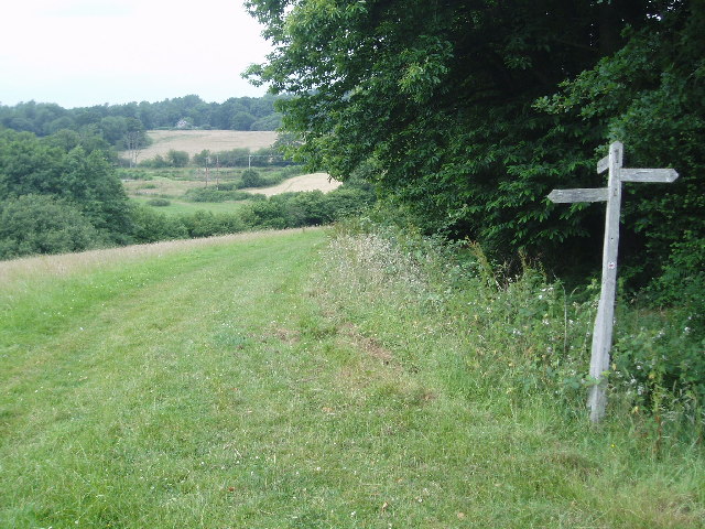
For those seeking outdoor activities, Alder Moors offers several walking trails and paths that wind their way through the forest. These trails allow visitors to fully appreciate the natural wonders of the area, with opportunities to spot wildlife and enjoy the peaceful surroundings. The moors are also a popular destination for photographers, as the changing seasons bring forth stunning displays of colors and textures.
Overall, Alder Moors is a captivating woodland area in Sussex, offering a sanctuary of tranquility and an opportunity to connect with nature in all its glory.
If you have any feedback on the listing, please let us know in the comments section below.
Alder Moors Images
Images are sourced within 2km of 51.090555/-0.008103236 or Grid Reference TQ3934. Thanks to Geograph Open Source API. All images are credited.
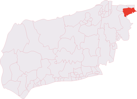
Alder Moors is located at Grid Ref: TQ3934 (Lat: 51.090555, Lng: -0.008103236)
Administrative County: East Sussex
District: Wealden
Police Authority: Sussex
What 3 Words
///laws.dimes.doctor. Near Forest Row, East Sussex
Nearby Locations
Related Wikis

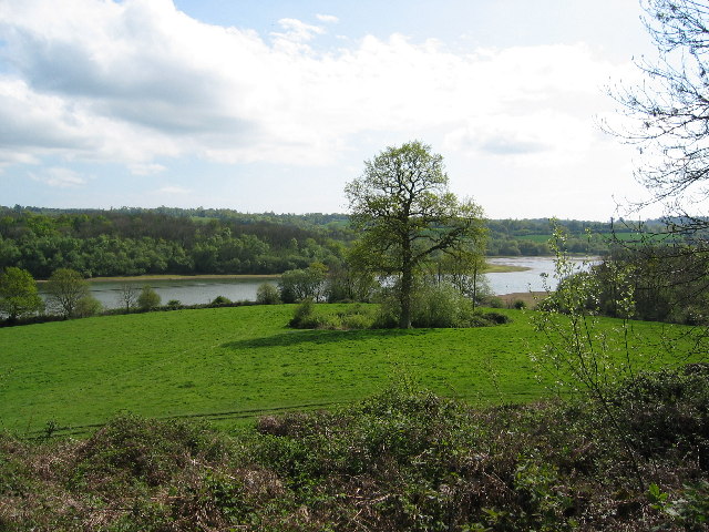
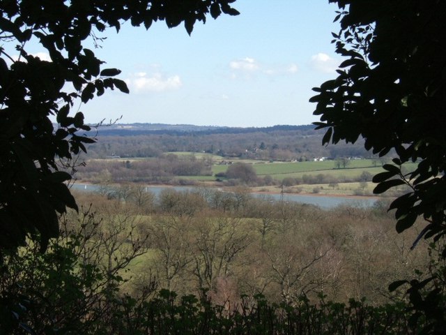
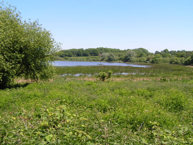
Weir Wood Reservoir
Weir Wood Reservoir is a 153.5-hectare (379-acre) biological Site of Special Scientific Interest west of Forest Row in East Sussex. It is in High Weald...
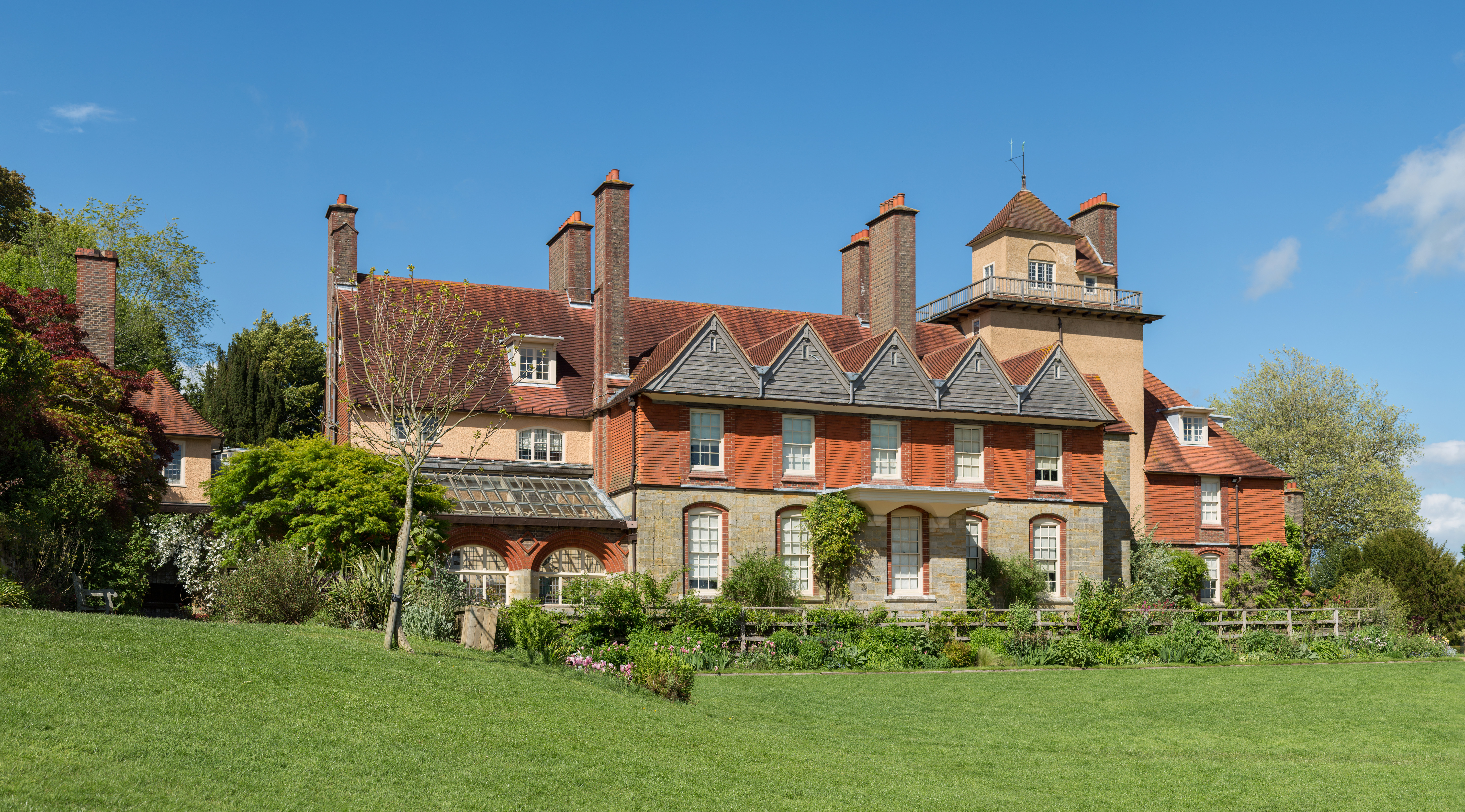
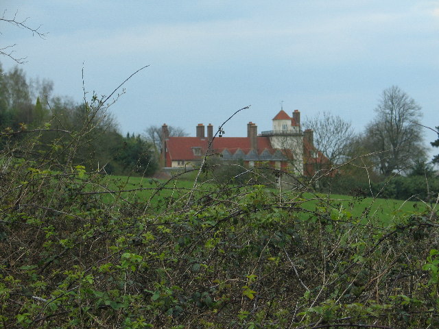
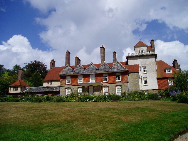
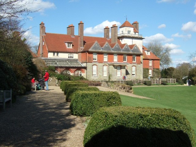
Standen
Standen is an Arts and Crafts house located to the south of East Grinstead, West Sussex, England. The house and its surrounding gardens belong to the National...

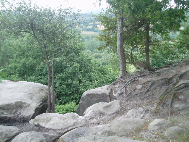
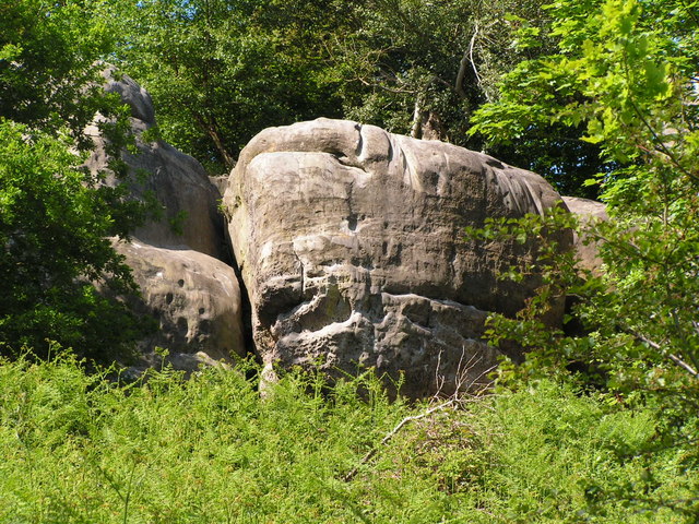
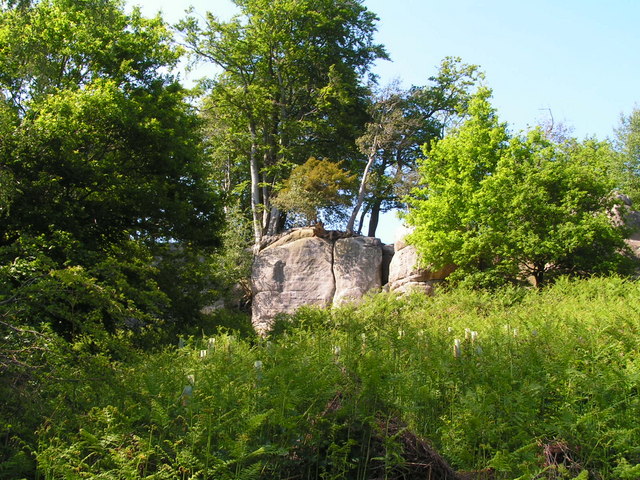
Stone Farm Rocks
Stone Farm Rocks or Stone Hill Rocks is a 0.6-hectare (1.5-acre) geological Site of Special Scientific Interest south of East Grinstead in West Sussex...

Saint Hill Green
Saint Hill Green is a small village near East Grinstead, West Sussex, England. It is notable for two country houses in the vicinity: Standen, designed...

Saint Hill Manor
Saint Hill Manor is a Grade II listed country manor house at Saint Hill Green, near East Grinstead in West Sussex, England. It was constructed in 1792...
Michael Hall (school)
Michael Hall is an independent Steiner Waldorf school in Kidbrooke Park on the edge of Ashdown Forest in East Sussex. Founded in 1925, it is the oldest...
East Grinstead South & Ashurst Wood (electoral division)
East Grinstead South & Ashurst Wood is an electoral division of West Sussex in the United Kingdom, and returns one member to sit on West Sussex County...

Lingfield Cernes
Lingfield Cernes is a 10.3-hectare (25-acre) biological Site of Special Scientific Interest east of Lingfield in Surrey. == Site details == This site has...
Nearby Amenities
Located within 500m of 51.090555,-0.008103236Have you been to Alder Moors?
Leave your review of Alder Moors below (or comments, questions and feedback).