Ashen Shaw

Wood, Forest in Surrey Tandridge

England

Ashen Shaw

The Parish Church of St. Leonard Chelsham Located on a footpath off Church Lane Chelsham, near Warlingham
See <span class="nowrap"><a title="http://www.southwark.anglican.org/parishes/303k2_a.htm" rel="nofollow ugc noopener" href="http://www.southwark.anglican.org/parishes/303k2_a.htm">Link</a><img style="margin-left:2px;" alt="External link" title="External link - shift click to open in new window" src="https://s1.geograph.org.uk/img/external.png" width="10" height="10"/></span>
The Parish Church of St. Leonard Chelsham Credit: Lorna van Zee

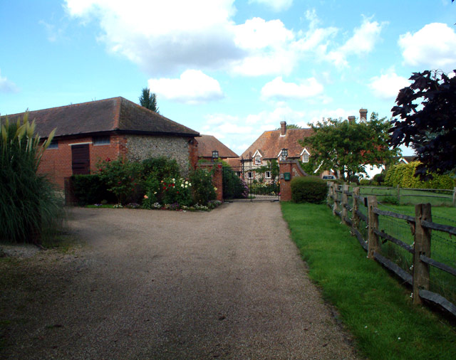
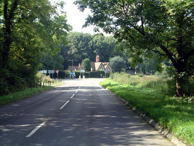
Ashen Shaw is a small residential area located in Surrey, England. Situated in the southern part of the county, Ashen Shaw is known for its beautiful woodlands and forests, which provide a picturesque backdrop for the community. The area is mainly residential, with a few local amenities nearby.

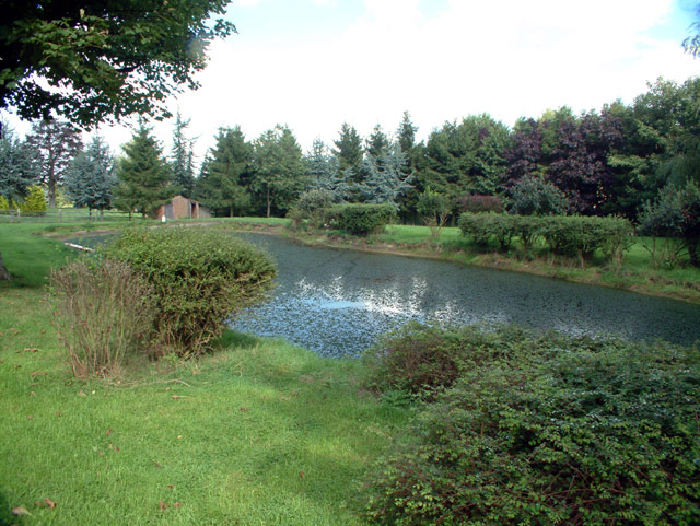
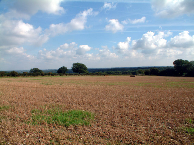
One of the key features of Ashen Shaw is its abundance of trees and green spaces. The woodlands and forests that surround the area are home to various species of flora and fauna, making it a haven for nature lovers and outdoor enthusiasts. The well-maintained trails within the woods offer opportunities for hiking, walking, and exploring the natural beauty of the area.

Despite its rural charm, Ashen Shaw is conveniently located near major transportation routes. The nearby A3 road provides easy access to the neighboring towns and cities, such as Guildford and London, making it an ideal location for commuters.

In terms of amenities, Ashen Shaw has a limited number of shops and services within its immediate vicinity. However, residents can easily access a wider range of facilities in the nearby towns, where there are supermarkets, schools, healthcare centers, and recreational facilities.

Overall, Ashen Shaw, Surrey (Wood, Forest) is a tranquil residential area with a strong emphasis on nature and outdoor activities. With its lush woodlands, convenient location, and access to nearby amenities, it offers a peaceful retreat for those seeking a balance between rural living and modern convenience.

If you have any feedback on the listing, please let us know in the comments section below.
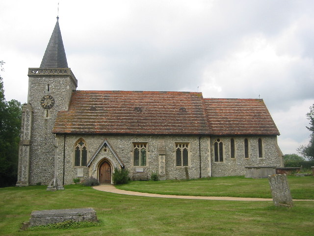
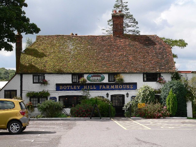
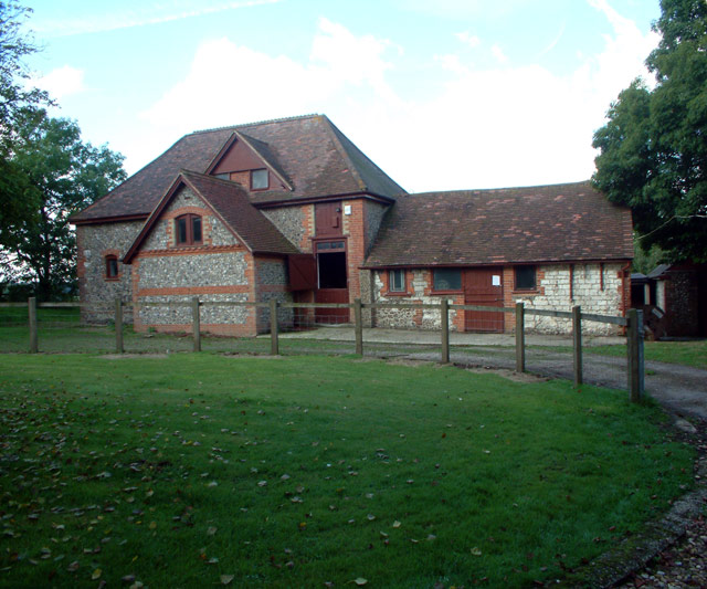
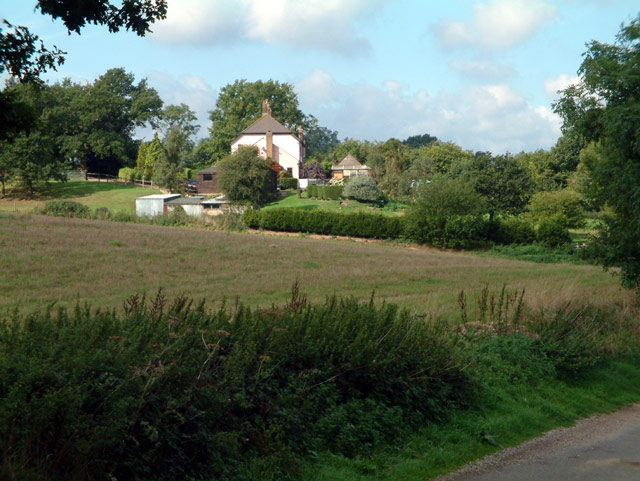
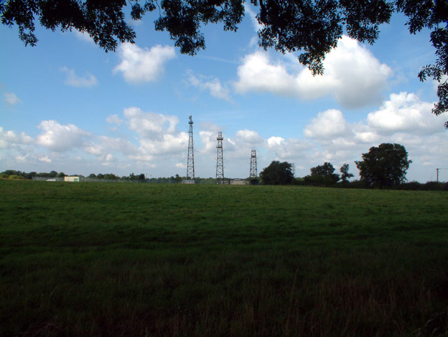
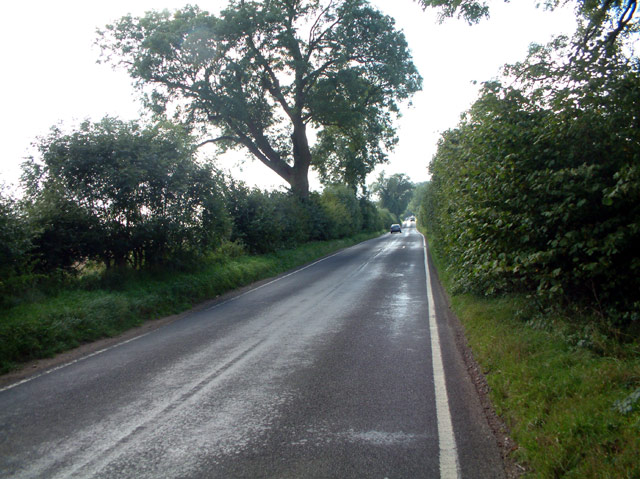
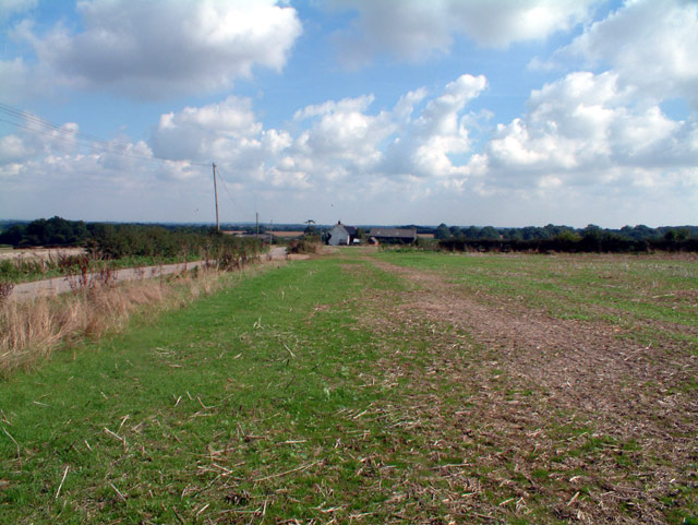
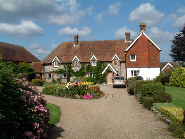
Ashen Shaw Images

Images are sourced within 2km of 51.298076/-0.006807641 or Grid Reference TQ3957. Thanks to Geograph Open Source API. All images are credited.

The Parish Church of St. Leonard Chelsham Located on a footpath off Church Lane Chelsham, near Warlingham
See <span class="nowrap"><a title="http://www.southwark.anglican.org/parishes/303k2_a.htm" rel="nofollow ugc noopener" href="http://www.southwark.anglican.org/parishes/303k2_a.htm">Link</a><img style="margin-left:2px;" alt="External link" title="External link - shift click to open in new window" src="https://s1.geograph.org.uk/img/external.png" width="10" height="10"/></span>
The Parish Church of St. Leonard Chelsham
Located on a footpath off Church Lane Chelsham, near Warlingham See LinkExternal link
Botley Hill Farmhouse Public House A tea-room back in the 80s, but now a pub offering a range of entertainments.
Botley Hill Farmhouse Public House
A tea-room back in the 80s, but now a pub offering a range of entertainments.
Pond at junction of Limpsfield Road and Slines Oak Road, CR6 To the southwest of the junction. Limpsfield Road is just visible at the top right.
Pond at junction of Limpsfield Road and Slines Oak Road, CR6
To the southwest of the junction. Limpsfield Road is just visible at the top right.
Warren Barn Farm, Slines Oak Road, Woldingham CR3 Down the track to the left of the farmhouse is the Green Dragons Hang-gliding and Paragliding School and Club, which is based on the farm.
Warren Barn Farm, Slines Oak Road, Woldingham CR3
Down the track to the left of the farmhouse is the Green Dragons Hang-gliding and Paragliding School and Club, which is based on the farm.
Slines Oak Road, Woldingham CR3 View northwest from end of Butlers Dene Road.
Slines Oak Road, Woldingham CR3
View northwest from end of Butlers Dene Road.
Stables at entrance to Chelsham Court, CR6
Washpond Cottages, Washpond Lane, CR6
Henley Wood, CR6 Looking west from Ledgers Road.
Henley Wood, CR6
Looking west from Ledgers Road.
Radio station and masts by Beech Farm Road, CR6
Beech Farm Road, CR6 Looking south.
Beech Farm Road, CR6
Looking south.
Cheverells Farm Cottages, Croydon Road, Warlingham, CR6
Beddlestead House (former Beddlestead Farm), Chelsham, CR6 A grade II* listed building. The nearby barn is also listed.
Beddlestead House (former Beddlestead Farm), Chelsham, CR6
A grade II* listed building. The nearby barn is also listed.
Pond at Beddlestead House, Beddlestead Lane, Chelsham CR6
Barn at Beddlestead House, Chelsham, CR6 The barn (on the left) is grade II listed, and the house is grade II*.
Barn at Beddlestead House, Chelsham, CR6
The barn (on the left) is grade II listed, and the house is grade II*.
Beddlestead Lane, Chelsham, CR6 Looking north.
Beddlestead Lane, Chelsham, CR6
Looking north.
Looking northwest from Croydon Road, CR6
Botley Hill junction of B269 and B2024, CR6 Looking west from B2024 Clarks Lane. The B269 goes down Titsey Hill to the left, and, as Croydon Road, northwest towards Warlingham.
Botley Hill junction of B269 and B2024, CR6
Looking west from B2024 Clarks Lane. The B269 goes down Titsey Hill to the left, and, as Croydon Road, northwest towards Warlingham.
View from Beech Farm Road, CR6 Looking west near Beech Farm towards Ashen Shaw.
View from Beech Farm Road, CR6
Looking west near Beech Farm towards Ashen Shaw.
Show me another place!

Ashen Shaw is located at Grid Ref: TQ3957 (Lat: 51.298076, Lng: -0.006807641)

Administrative County: Surrey

District: Tandridge

Police Authority: Surrey

What 3 Words

///means.brush.rush. Near Woldingham, Surrey

Nearby Locations

Lumberdine Wood Ashen Shaw

Related Wikis

Nore Hill Pinnacle

Nore Hill Pinnacle is a 0.2-hectare (0.49-acre) local nature reserve east of Warlingham in Surrey, England. It is owned by the Earl Compton Estate and...

Tatsfield Receiving Station

The Tatsfield Receiving Station – known formally as the BBC Engineering Measurement and Receiving Station – was a radio broadcasting signals-receiving...

Chelsham

Chelsham is a village and former civil parish, now in the parish of Chelsham and Farleigh and the Tandridge district of Surrey, England. It is located...

Titsey

Titsey is a rural village and a civil parish on the North Downs almost wholly within the M25 London Orbital Motorway in the Tandridge District of Surrey...

Nearby Amenities

Located within 500m of 51.298076,-0.006807641
Barrier: kissing_gate
Lat/Long: 51.2992876/0.0001226
The data included in this document is from www.openstreetmap.org. The data is made available under ODbL.

Have you been to Ashen Shaw?

Leave your review of Ashen Shaw below (or comments, questions and feedback).