Ash Holt

Wood, Forest in Lincolnshire East Lindsey

England

Ash Holt

Track to Stourton
Track to Stourton Credit: Jonathan Thacker

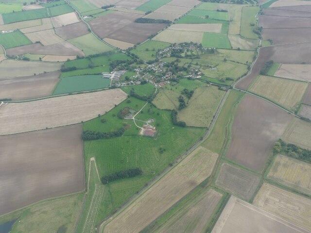
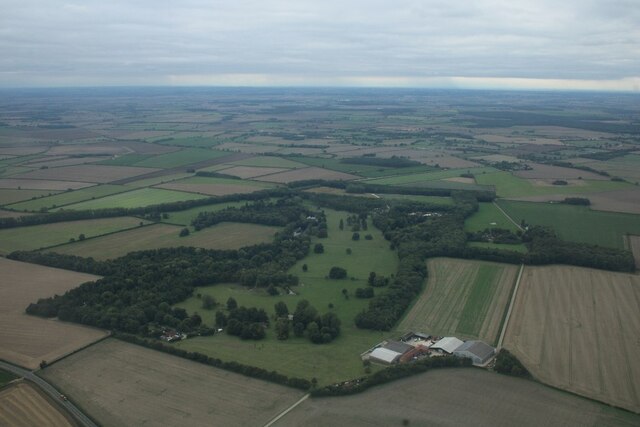
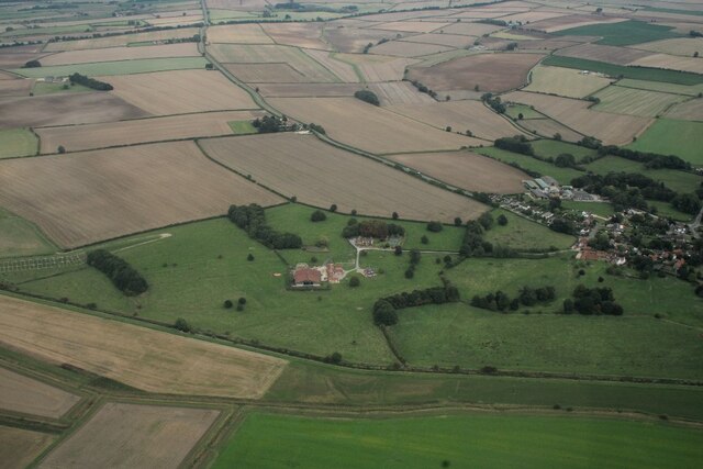
Ash Holt is a small village located in the county of Lincolnshire, England. Situated in the district of Wood, Ash Holt is known for its picturesque and serene surroundings. The village is nestled within a dense forest, offering residents and visitors a tranquil and peaceful environment.

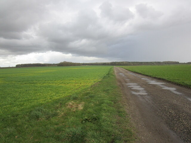
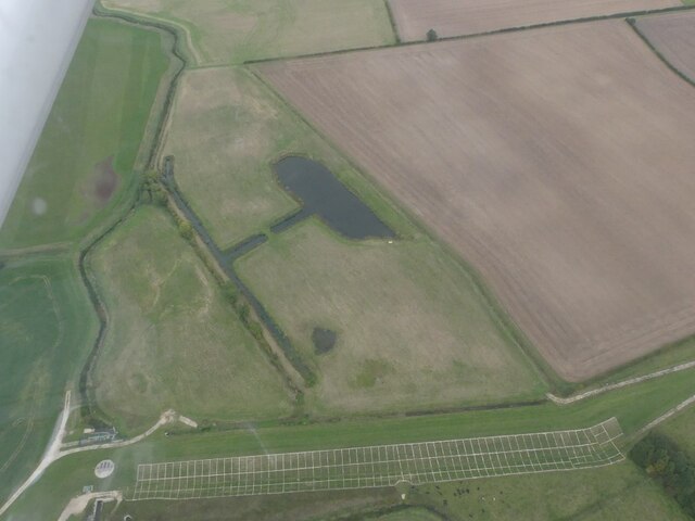
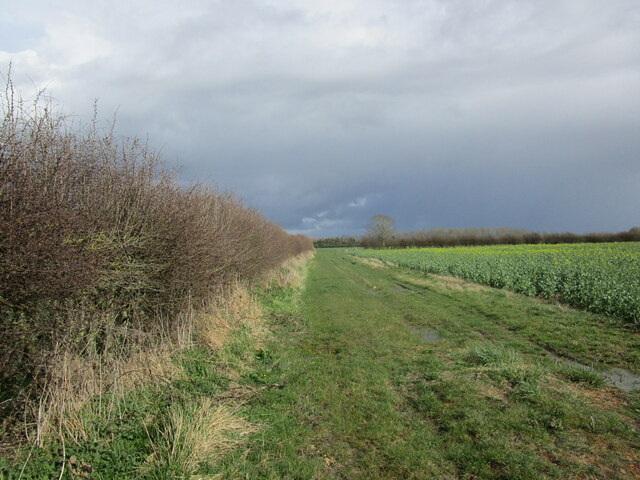
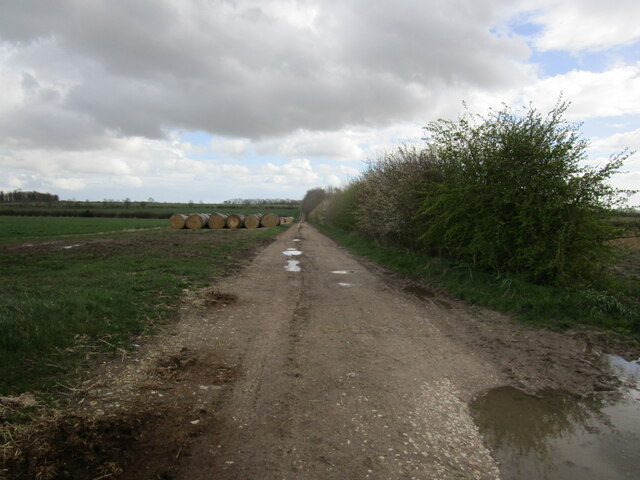
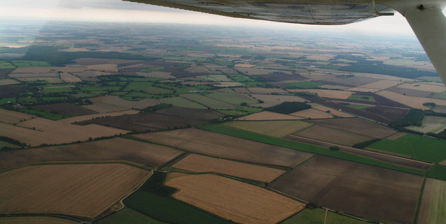
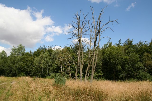
The woodland in Ash Holt is characterized by a variety of trees, including oak, ash, and beech. This rich and diverse ecosystem provides a habitat for numerous species of wildlife, making it a popular destination for nature enthusiasts. Walking trails and paths wind their way through the forest, allowing visitors to explore and appreciate the natural beauty that surrounds them.

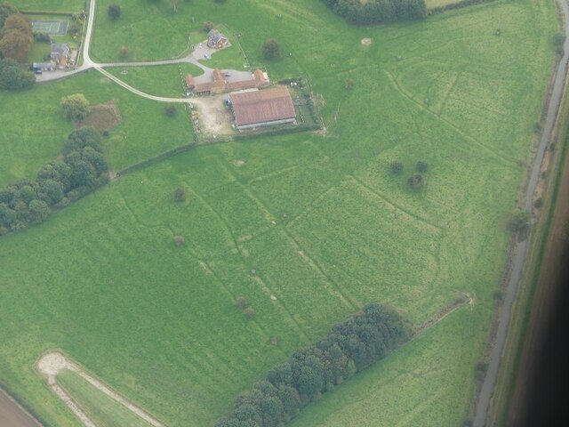
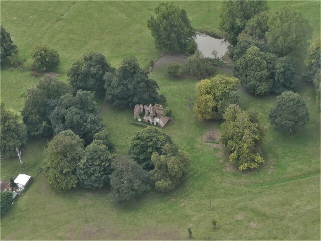
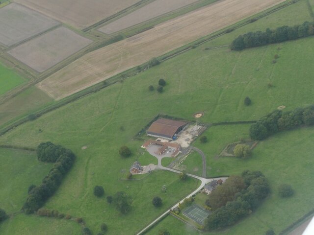
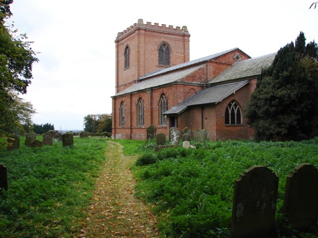
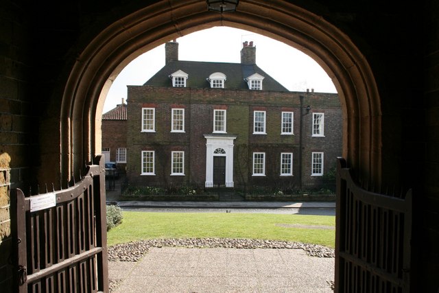
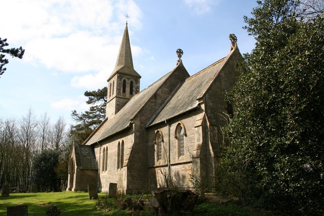
The village itself is small, with a close-knit community that values its rural charm. The architecture in Ash Holt reflects its traditional roots, with many homes and buildings constructed from local materials such as stone and timber. The village is home to a quaint church, which serves as a focal point for the community and provides a place of worship for local residents.

Despite its small size, Ash Holt offers a range of amenities to its inhabitants. These include a village hall, where various community events and gatherings take place, as well as a small local store that caters to the everyday needs of residents. Additionally, nearby towns and cities provide access to further amenities and services, ensuring that residents have everything they need within a short distance.

Overall, Ash Holt in Lincolnshire is a charming and idyllic village, known for its woodland beauty and strong sense of community. It is a place where residents can enjoy a peaceful and rural lifestyle, surrounded by nature's beauty.

If you have any feedback on the listing, please let us know in the comments section below.
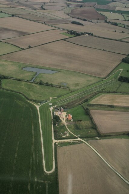
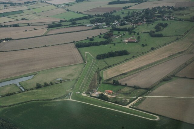
Ash Holt Images

Images are sourced within 2km of 53.258062/-0.17637959 or Grid Reference TF2175. Thanks to Geograph Open Source API. All images are credited.

Track to Stourton
Track to Stourton
Ridge and furrow north of Hemingby: aerial 2021 (1) There seems to be no listing in the HER for this.

The grid-like structure bottom left are part of a flood prevention project - see <a href="https://www.geograph.org.uk/photo/4750959">TF2375 : Horncastle's new flood defences near Watermill Farm, Hemingby: aerial November 2015</a>.
Ridge and furrow north of Hemingby: aerial 2021 (1)
There seems to be no listing in the HER for this. The grid-like structure bottom left are part of a flood prevention project - see TF2375 : Horncastle's new flood defences near Watermill Farm, Hemingby: aerial November 2015.
Ridge and furrow north of Hemingby: aerial 2021 (2) There seems to be no listing in the HER for this.

The grid-like structure bottom left are part of a flood prevention project - see <a href="https://www.geograph.org.uk/photo/4750959">TF2375 : Horncastle's new flood defences near Watermill Farm, Hemingby: aerial November 2015</a>.
Ridge and furrow north of Hemingby: aerial 2021 (2)
There seems to be no listing in the HER for this. The grid-like structure bottom left are part of a flood prevention project - see TF2375 : Horncastle's new flood defences near Watermill Farm, Hemingby: aerial November 2015.
Little Stourton Old Hall: aerial 2022 (1) Stourton Old Hall represents the extinct village of Little Stourton. It is the fragmentary ruin of a country house, dating to the 16th century with 18th century alterations. The house was deserted by 1810 when the Livesey family bought the Estate and built the new Hall in Stourton Park.

See <span class="nowrap"><a title="https://www.heritagegateway.org.uk/Gateway/Results_Single.aspx?uid=MLI40286&resourceID=1006" rel="nofollow ugc noopener" href="https://www.heritagegateway.org.uk/Gateway/Results_Single.aspx?uid=MLI40286&resourceID=1006">Link</a><img style="margin-left:2px;" alt="External link" title="External link - shift click to open in new window" src="https://s1.geograph.org.uk/img/external.png" width="10" height="10"/></span> and
<span class="nowrap"><a title="https://www.heritagegateway.org.uk/Gateway/Results_Single.aspx?uid=1359926&resourceID=5" rel="nofollow ugc noopener" href="https://www.heritagegateway.org.uk/Gateway/Results_Single.aspx?uid=1359926&resourceID=5">Link</a><img style="margin-left:2px;" alt="External link" title="External link - shift click to open in new window" src="https://s1.geograph.org.uk/img/external.png" width="10" height="10"/></span>
Little Stourton Old Hall: aerial 2022 (1)
Stourton Old Hall represents the extinct village of Little Stourton. It is the fragmentary ruin of a country house, dating to the 16th century with 18th century alterations. The house was deserted by 1810 when the Livesey family bought the Estate and built the new Hall in Stourton Park. See LinkExternal link and LinkExternal link
Little Stourton Old Hall: aerial 2022 (2) Stourton Old Hall represents the extinct village of Little Stourton. It is the fragmentary ruin of a country house, dating to the 16th century with 18th century alterations. The house was deserted by 1810 when the Livesey family bought the Estate and built the new Hall in Stourton Park.

See <span class="nowrap"><a title="https://www.heritagegateway.org.uk/Gateway/Results_Single.aspx?uid=MLI40286&resourceID=1006" rel="nofollow ugc noopener" href="https://www.heritagegateway.org.uk/Gateway/Results_Single.aspx?uid=MLI40286&resourceID=1006">Link</a><img style="margin-left:2px;" alt="External link" title="External link - shift click to open in new window" src="https://s1.geograph.org.uk/img/external.png" width="10" height="10"/></span> and
<span class="nowrap"><a title="https://www.heritagegateway.org.uk/Gateway/Results_Single.aspx?uid=1359926&resourceID=5" rel="nofollow ugc noopener" href="https://www.heritagegateway.org.uk/Gateway/Results_Single.aspx?uid=1359926&resourceID=5">Link</a><img style="margin-left:2px;" alt="External link" title="External link - shift click to open in new window" src="https://s1.geograph.org.uk/img/external.png" width="10" height="10"/></span>
Little Stourton Old Hall: aerial 2022 (2)
Stourton Old Hall represents the extinct village of Little Stourton. It is the fragmentary ruin of a country house, dating to the 16th century with 18th century alterations. The house was deserted by 1810 when the Livesey family bought the Estate and built the new Hall in Stourton Park. See LinkExternal link and LinkExternal link
Garden House on the Stourton Estate: aerial 2022 (1)
Garden House on the Stourton Estate: aerial 2022 (2)
Fields east of Stourton Wood: aerial 2022
Part of the Stourton Estate: aerial 2022
Watermill Farm, Hemingby: aerial 2022 (1)
Watermill Farm, Hemingby: aerial 2022 (2)
Manor Farm and earthworks. Hemingby: aerial 2022 See: <span class="nowrap"><a title="https://www.heritagegateway.org.uk/Gateway/Results_Single.aspx?uid=MLI119012&resourceID=1006" rel="nofollow ugc noopener" href="https://www.heritagegateway.org.uk/Gateway/Results_Single.aspx?uid=MLI119012&resourceID=1006">Link</a><img style="margin-left:2px;" alt="External link" title="External link - shift click to open in new window" src="https://s1.geograph.org.uk/img/external.png" width="10" height="10"/></span>
Manor Farm and earthworks. Hemingby: aerial 2022
See: LinkExternal link
Watermill Farm, Hemingby: aerial 2022 (3)
Manor Farm and earthworks. Hemingby: aerial 2022 (2) See <span class="nowrap"><a title="https://www.heritagegateway.org.uk/Gateway/Results_Single.aspx?uid=MLI119012&resourceID=1006" rel="nofollow ugc noopener" href="https://www.heritagegateway.org.uk/Gateway/Results_Single.aspx?uid=MLI119012&resourceID=1006">Link</a><img style="margin-left:2px;" alt="External link" title="External link - shift click to open in new window" src="https://s1.geograph.org.uk/img/external.png" width="10" height="10"/></span>
Manor Farm and earthworks. Hemingby: aerial 2022 (2)
See LinkExternal link
Field edge and oilseed rape near Hungram Farm
Autumn sown crop near Baumber
Farm track near Baumber Park
South of Baumber Park: aerial 2015 Baumber Park is to the right.
South of Baumber Park: aerial 2015
Baumber Park is to the right.
Show me another place!

Ash Holt is located at Grid Ref: TF2175 (Lat: 53.258062, Lng: -0.17637959)

Administrative County: Lincolnshire

District: East Lindsey

Police Authority: Lincolnshire

What 3 Words

///spiking.home.majoring. Near Horncastle, Lincolnshire

Related Wikis

Baumber

Baumber ( BAWM-bər) is a village and civil parish in the East Lindsey district of Lincolnshire, England. It is situated approximately 4 miles (6 km) north...
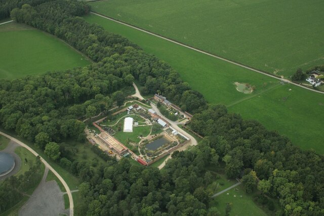
Hanby Hall

Hanby Hall is a Grade II* listed early 18th-century building in Alford, Lincolnshire. Hanby Hall was built by John Andrews. It is situated opposite St...

Great Sturton

Great Sturton is a hamlet and civil parish in the East Lindsey district of Lincolnshire, England. It is situated approximately 7 miles (11 km) from the...

Hemingby

Hemingby is a dispersed village and civil parish in the East Lindsey district of Lincolnshire, England. It is situated approximately 3 miles (5 km) north...

Minting

Minting is a village and civil parish in the East Lindsey district of Lincolnshire, England. The village is situated 1 mile (1.6 km) south from the A158...

Wispington

Wispington is a village in the civil parish of Edlington with Wispington, in East Lindsey, Lincolnshire, England. It is situated 2 miles (3 km) west from...
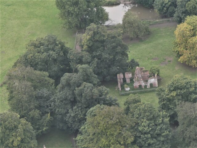
Minting Priory

Minting Priory was a priory in Minting, Lincolnshire, England. The priory for Benedictine monks was founded by Ranulf de Meschines, earl of Chester, to...

Edlington with Wispington

Edlington with Wispington is a civil parish in the East Lindsey district of Lincolnshire, England. It is approximately 2 miles (3 km) north-west of Horncastle...

Related Videos

Deer, Gnome’s & Sunflowers.

A trip to the Stourton Estate, Lincolnshire. A beautiful place.

Nearby Amenities

Located within 500m of 53.258062,-0.17637959
Power: pole
Source: Bing
Lat/Long: 53.2545962/-0.1721334
Power: pole
Source: Bing
Lat/Long: 53.2587056/-0.1711933
Power: pole
Source: Bing
Lat/Long: 53.2609919/-0.1729904
Power: pole
Source: Bing
Lat/Long: 53.2571837/-0.1699957
Power: pole
Source: Bing
Lat/Long: 53.260221/-0.1723869
Power: pole
Source: Bing
Lat/Long: 53.2579322/-0.1705872
Power: pole
Source: Bing
Lat/Long: 53.2594613/-0.1717874
Power: pole
Lat/Long: 53.2545117/-0.1750395
Power: pole
Source: Bing
Lat/Long: 53.2545535/-0.1736217
Power: pole
Source: Bing
Lat/Long: 53.2618246/-0.1736515
Hightoft
Place: isolated_dwelling
Source: Bing
Lat/Long: 53.2545086/-0.1755493
The data included in this document is from www.openstreetmap.org. The data is made available under ODbL.

Have you been to Ash Holt?

Leave your review of Ash Holt below (or comments, questions and feedback).