Black Plantation
Wood, Forest in Lincolnshire East Lindsey
England
Black Plantation

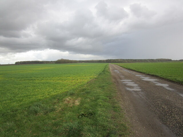
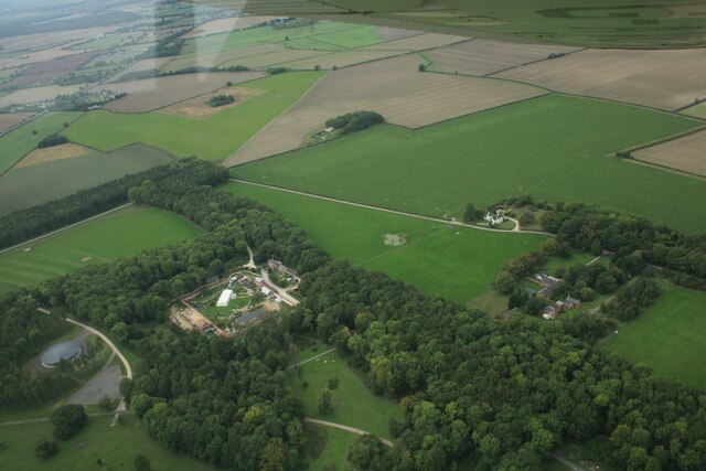
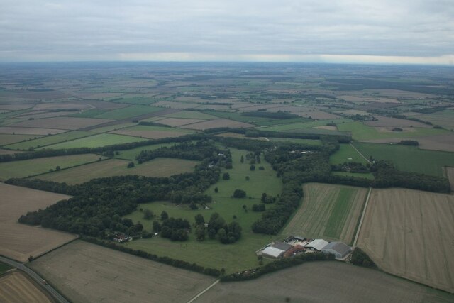
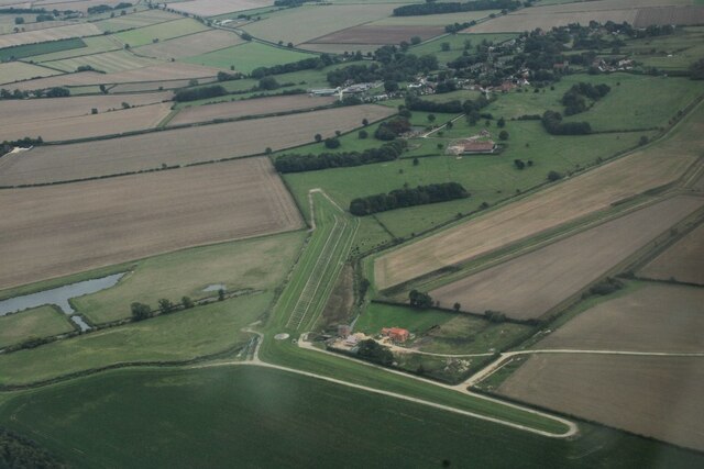
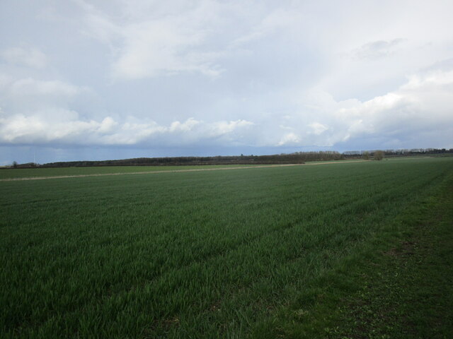
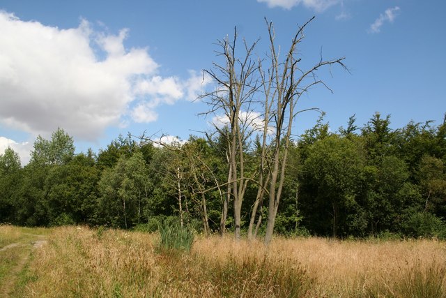
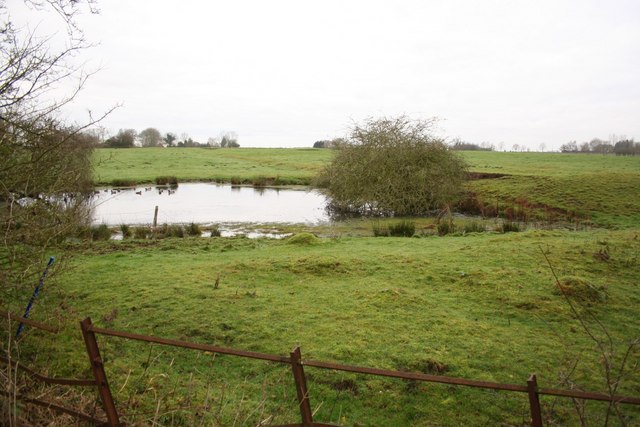
Black Plantation is a wooded area located in Lincolnshire, England. It occupies an expansive space, covering several acres of land. The plantation is predominantly made up of dense forests and thick vegetation, creating a lush and green environment.
The name "Black Plantation" is derived from the dark hue of the soil found in the area, which is rich in organic matter. This fertility contributes to the abundance of plant life within the plantation. The forest is home to a diverse range of trees, including oak, birch, beech, and conifers. These trees provide a habitat for numerous bird species, small mammals, and insects.
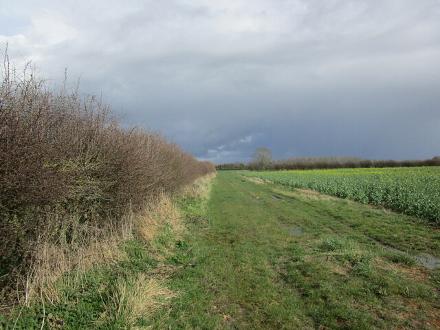
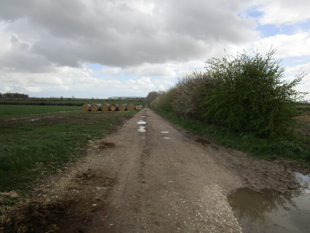
The plantation is a popular destination for nature enthusiasts, hikers, and walkers, who are drawn to its tranquil beauty and peaceful atmosphere. Several walking trails wind their way through the woods, offering visitors the opportunity to explore and appreciate the natural surroundings.
Black Plantation is also notable for its historical significance. It has been a part of the local landscape for centuries and was originally used as a hunting ground for the nobility. Today, remnants of its past can still be seen, such as old deer stands and stone walls.
Overall, Black Plantation in Lincolnshire is a picturesque woodland area, teeming with diverse flora and fauna. It offers a serene escape from the hustle and bustle of modern life, allowing visitors to immerse themselves in the beauty of nature.
If you have any feedback on the listing, please let us know in the comments section below.
Black Plantation Images
Images are sourced within 2km of 53.258446/-0.18559847 or Grid Reference TF2175. Thanks to Geograph Open Source API. All images are credited.


Black Plantation is located at Grid Ref: TF2175 (Lat: 53.258446, Lng: -0.18559847)
Administrative County: Lincolnshire
District: East Lindsey
Police Authority: Lincolnshire
What 3 Words
///unlisted.plugged.generally. Near Horncastle, Lincolnshire
Nearby Locations
Related Wikis
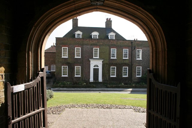
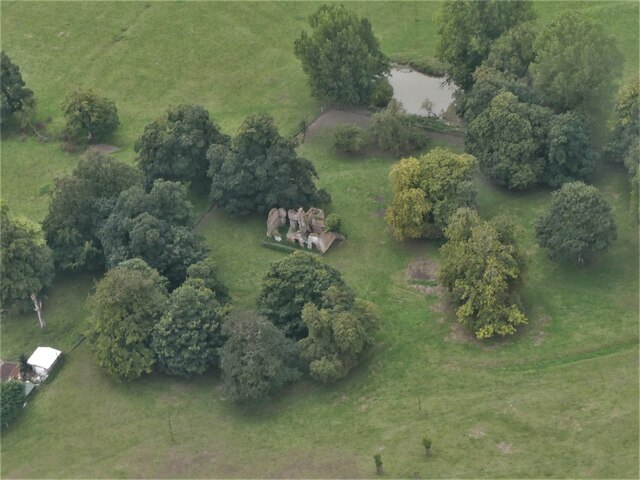
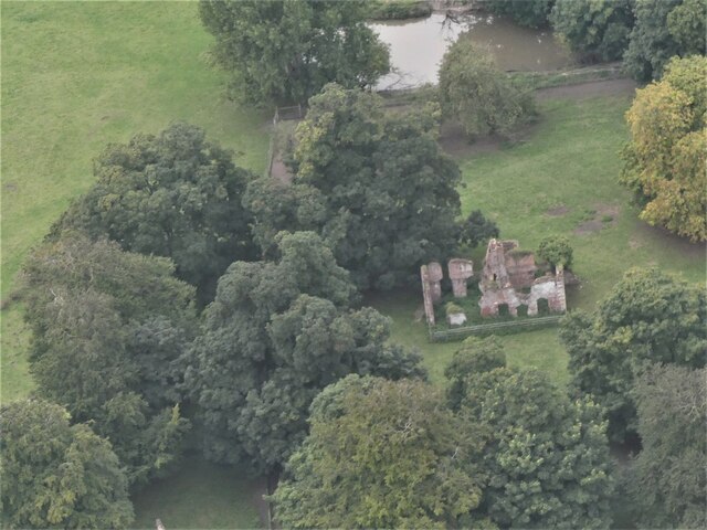
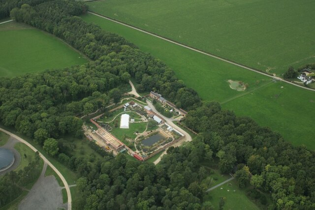
Hanby Hall
Hanby Hall is a Grade II* listed early 18th-century building in Alford, Lincolnshire. Hanby Hall was built by John Andrews. It is situated opposite St...
Baumber
Baumber ( BAWM-bər) is a village and civil parish in the East Lindsey district of Lincolnshire, England. It is situated approximately 4 miles (6 km) north...

Great Sturton
Great Sturton is a hamlet and civil parish in the East Lindsey district of Lincolnshire, England. It is situated approximately 7 miles (11 km) from the...

Hemingby
Hemingby is a dispersed village and civil parish in the East Lindsey district of Lincolnshire, England. It is situated approximately 3 miles (5 km) north...
Minting
Minting is a village and civil parish in the East Lindsey district of Lincolnshire, England. The village is situated 1 mile (1.6 km) south from the A158...
Minting Priory
Minting Priory was a priory in Minting, Lincolnshire, England. The priory for Benedictine monks was founded by Ranulf de Meschines, earl of Chester, to...
Wispington
Wispington is a village in the civil parish of Edlington with Wispington, in East Lindsey, Lincolnshire, England. It is situated 2 miles (3 km) west from...

Edlington with Wispington
Edlington with Wispington is a civil parish in the East Lindsey district of Lincolnshire, England. It is approximately 2 miles (3 km) north-west of Horncastle...
Related Videos

Deer, Gnome’s & Sunflowers.
A trip to the Stourton Estate, Lincolnshire. A beautiful place.
Nearby Amenities
Located within 500m of 53.258446,-0.18559847Have you been to Black Plantation?
Leave your review of Black Plantation below (or comments, questions and feedback).