Tench Pond
Lake, Pool, Pond, Freshwater Marsh in Lincolnshire East Lindsey
England
Tench Pond

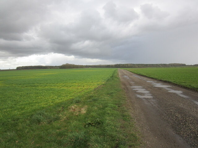
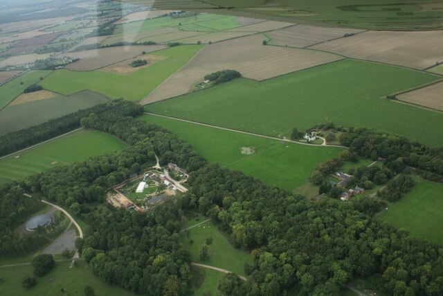
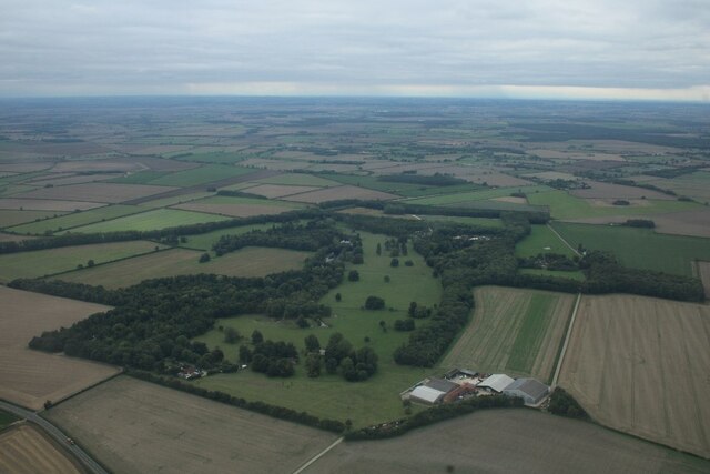
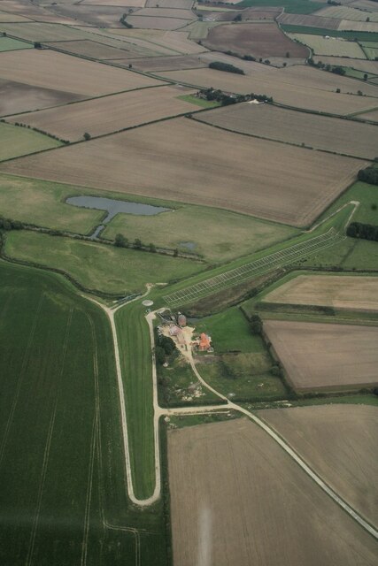
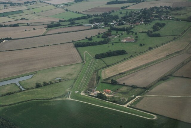
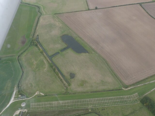
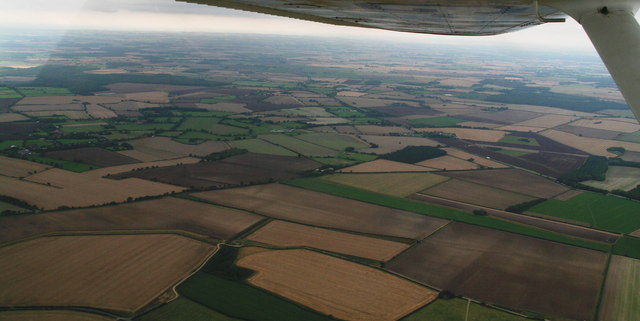
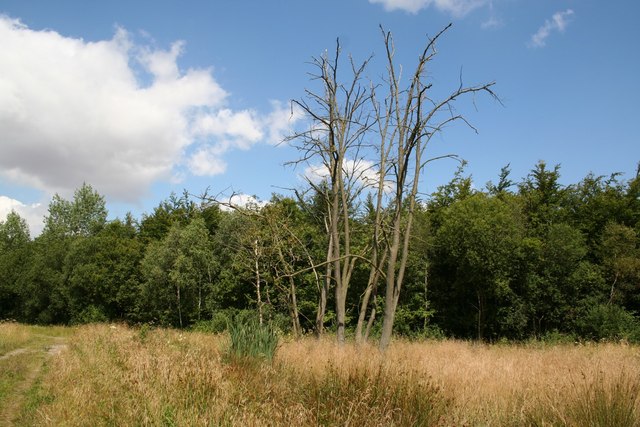
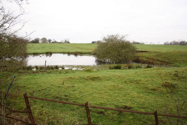
Tench Pond is a picturesque freshwater pond located in the county of Lincolnshire, England. The pond is nestled within a serene and tranquil setting, surrounded by lush greenery and breathtaking scenery. It is often referred to as a lake due to its larger size compared to a typical pond.
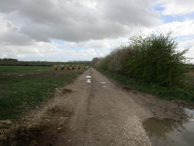
Covering an area of approximately 10 acres, Tench Pond offers a diverse ecosystem that supports a wide variety of plant and animal life. The water is crystal clear and teems with a multitude of freshwater species, including the namesake tench fish. The presence of these fish has made the pond a popular destination for anglers seeking a peaceful fishing experience.
The pond is also a haven for wildlife enthusiasts and bird watchers. The surrounding marshland provides a natural habitat for numerous bird species, such as swans, ducks, herons, and kingfishers. Visitors can often observe these beautiful creatures in their natural habitat, making it a perfect spot for nature photography and bird spotting.
Tench Pond offers visitors a range of recreational activities, including boating, kayaking, and picnicking. The calm and serene atmosphere make it an ideal location for relaxation and unwinding amidst nature. The pond is well-maintained, with designated walking paths and seating areas for visitors to enjoy the surroundings.
Overall, Tench Pond is a hidden gem in Lincolnshire, offering a peaceful retreat for nature lovers and a haven for wildlife. Its idyllic setting, diverse ecosystem, and range of recreational activities make it a must-visit destination for those seeking a serene escape in the heart of nature.
If you have any feedback on the listing, please let us know in the comments section below.
Tench Pond Images
Images are sourced within 2km of 53.260812/-0.18276958 or Grid Reference TF2175. Thanks to Geograph Open Source API. All images are credited.


Tench Pond is located at Grid Ref: TF2175 (Lat: 53.260812, Lng: -0.18276958)
Administrative County: Lincolnshire
District: East Lindsey
Police Authority: Lincolnshire
What 3 Words
///incursion.human.master. Near Horncastle, Lincolnshire
Nearby Locations
Related Wikis
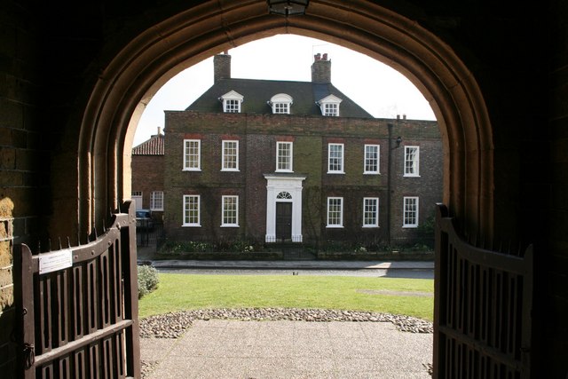
Hanby Hall
Hanby Hall is a Grade II* listed early 18th-century building in Alford, Lincolnshire. Hanby Hall was built by John Andrews. It is situated opposite St...

Great Sturton
Great Sturton is a hamlet and civil parish in the East Lindsey district of Lincolnshire, England. It is situated approximately 7 miles (11 km) from the...
Baumber
Baumber ( BAWM-bər) is a village and civil parish in the East Lindsey district of Lincolnshire, England. It is situated approximately 4 miles (6 km) north...

Hemingby
Hemingby is a dispersed village and civil parish in the East Lindsey district of Lincolnshire, England. It is situated approximately 3 miles (5 km) north...
Minting
Minting is a village and civil parish in the East Lindsey district of Lincolnshire, England. The village is situated 1 mile (1.6 km) south from the A158...
Minting Priory
Minting Priory was a priory in Minting, Lincolnshire, England. The priory for Benedictine monks was founded by Ranulf de Meschines, earl of Chester, to...
Wispington
Wispington is a village in the civil parish of Edlington with Wispington, in East Lindsey, Lincolnshire, England. It is situated 2 miles (3 km) west from...

Sotby
Sotby is a village and civil parish in the East Lindsey district of Lincolnshire, England. It is situated 15 miles (24 km) north-east from the city and...
Nearby Amenities
Located within 500m of 53.260812,-0.18276958Have you been to Tench Pond?
Leave your review of Tench Pond below (or comments, questions and feedback).