Big Wood
Wood, Forest in Lincolnshire East Lindsey
England
Big Wood
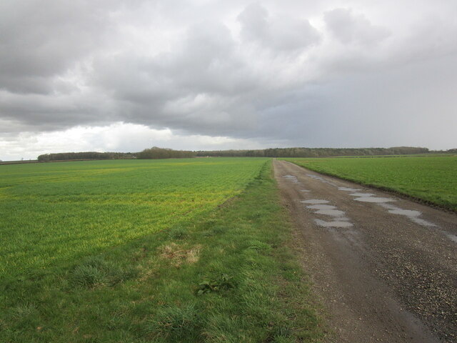
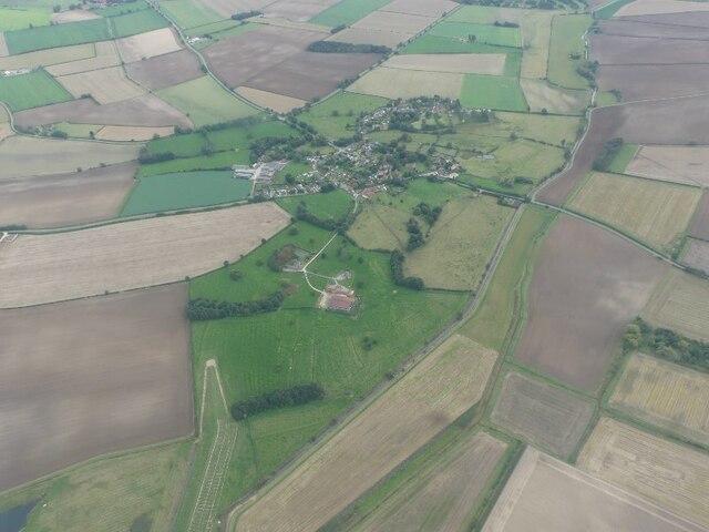
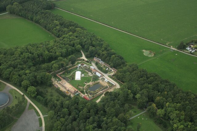
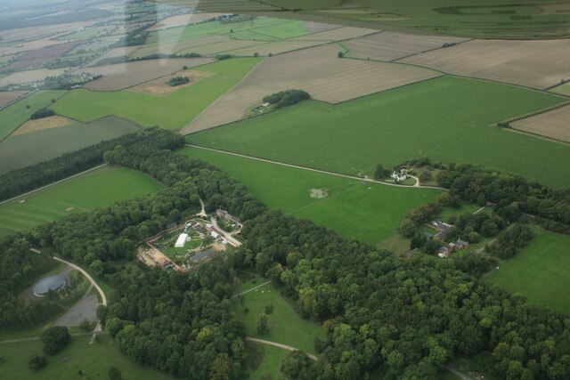
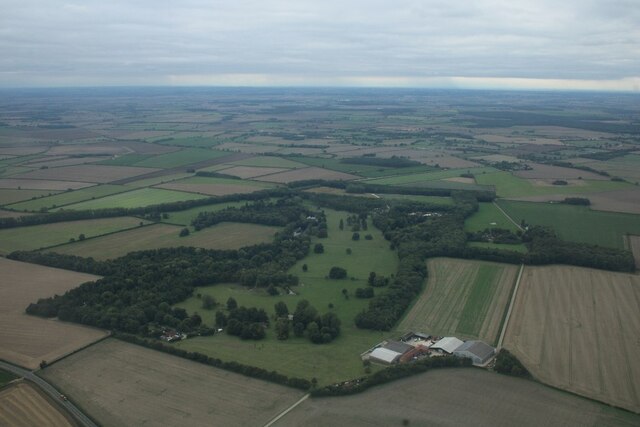
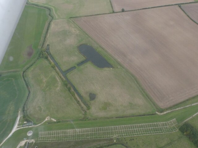
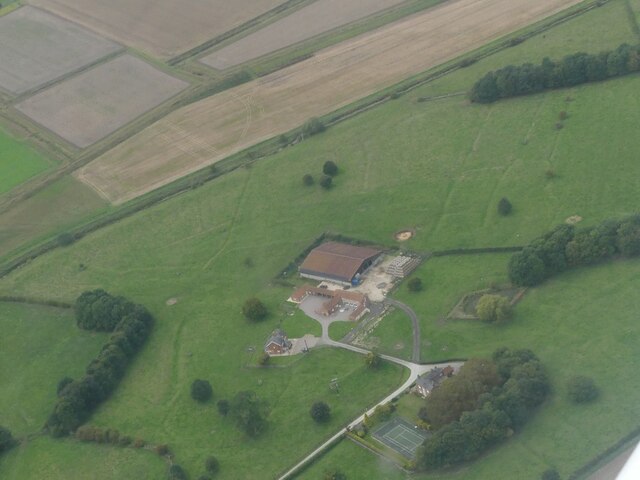
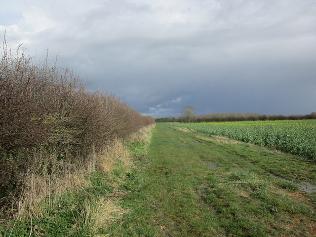
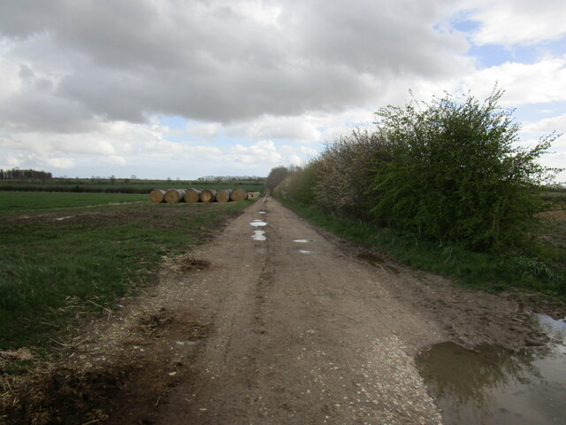
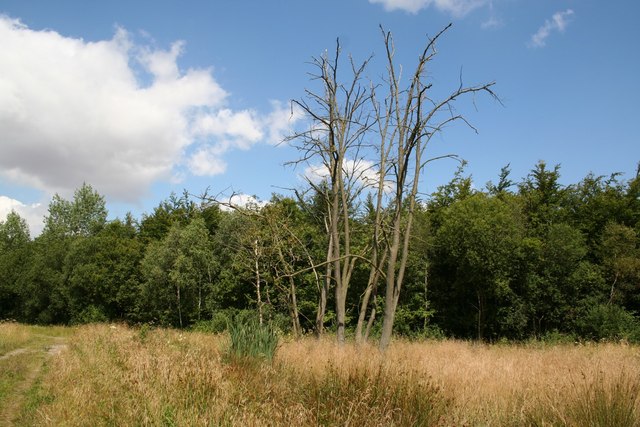
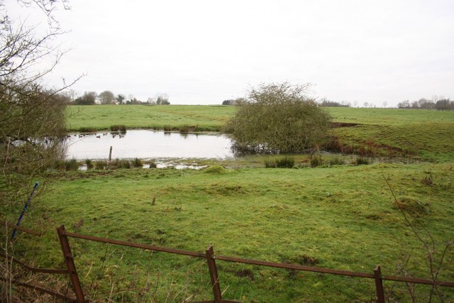
Big Wood is a sprawling forest located in Lincolnshire, England. Covering an area of approximately 500 acres, it is known for its dense vegetation and diverse wildlife. The forest is situated in a rural area, surrounded by picturesque countryside, making it a popular destination for nature lovers and outdoor enthusiasts.
The wood is primarily composed of deciduous trees such as oak, beech, and birch, which create a vibrant and colorful canopy during the autumn months. The forest floor is covered with a variety of flora including bluebells, ferns, and wild garlic, adding to the beauty and biodiversity of the wood.
Big Wood is home to a wide range of animals, including deer, foxes, badgers, and numerous bird species. The forest provides a natural habitat for these creatures, with its abundance of food sources and shelter. Birdwatchers can spot species such as woodpeckers, owls, and various songbirds.
Visitors to Big Wood can explore the numerous walking trails that wind through the forest, providing an opportunity to immerse themselves in nature. The wood offers a peaceful and tranquil atmosphere, allowing visitors to escape the hustle and bustle of everyday life.
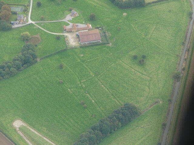
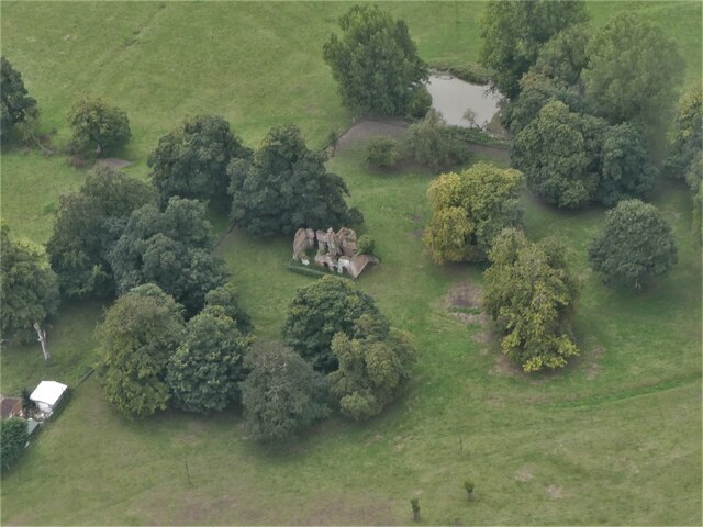
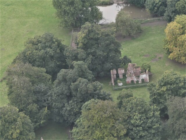
In addition to its natural beauty, Big Wood has historical significance. It has been a part of the local landscape for centuries, and remnants of ancient settlements and archaeological sites can be found within its boundaries.
Overall, Big Wood in Lincolnshire is a captivating destination, offering a unique blend of natural beauty and historical significance. It provides a haven for wildlife and a peaceful retreat for those seeking a connection with nature.
If you have any feedback on the listing, please let us know in the comments section below.
Big Wood Images
Images are sourced within 2km of 53.260574/-0.17777203 or Grid Reference TF2175. Thanks to Geograph Open Source API. All images are credited.

Big Wood is located at Grid Ref: TF2175 (Lat: 53.260574, Lng: -0.17777203)
Administrative County: Lincolnshire
District: East Lindsey
Police Authority: Lincolnshire
What 3 Words
///lifeguard.twinge.wheels. Near Horncastle, Lincolnshire
Related Wikis
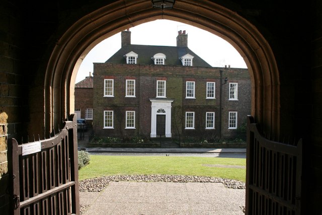
Hanby Hall
Hanby Hall is a Grade II* listed early 18th-century building in Alford, Lincolnshire. Hanby Hall was built by John Andrews. It is situated opposite St...
Baumber
Baumber ( BAWM-bər) is a village and civil parish in the East Lindsey district of Lincolnshire, England. It is situated approximately 4 miles (6 km) north...

Great Sturton
Great Sturton is a hamlet and civil parish in the East Lindsey district of Lincolnshire, England. It is situated approximately 7 miles (11 km) from the...

Hemingby
Hemingby is a dispersed village and civil parish in the East Lindsey district of Lincolnshire, England. It is situated approximately 3 miles (5 km) north...
Minting
Minting is a village and civil parish in the East Lindsey district of Lincolnshire, England. The village is situated 1 mile (1.6 km) south from the A158...
Minting Priory
Minting Priory was a priory in Minting, Lincolnshire, England. The priory for Benedictine monks was founded by Ranulf de Meschines, earl of Chester, to...
Ranby, Lincolnshire
Ranby is a village and civil parish in the East Lindsey district of Lincolnshire, England. It is situated about 6 miles (10 km) north-west from the market...
Wispington
Wispington is a village in the civil parish of Edlington with Wispington, in East Lindsey, Lincolnshire, England. It is situated 2 miles (3 km) west from...
Nearby Amenities
Located within 500m of 53.260574,-0.17777203Have you been to Big Wood?
Leave your review of Big Wood below (or comments, questions and feedback).