Big Holt
Wood, Forest in Huntingdonshire Huntingdonshire
England
Big Holt
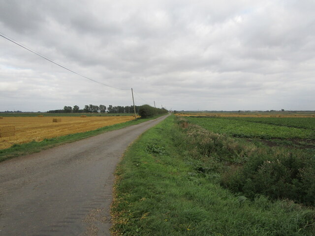
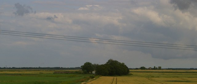
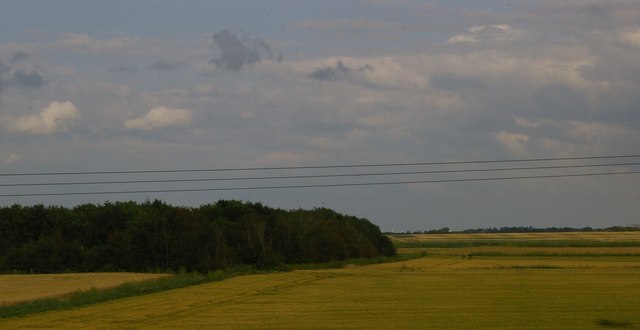
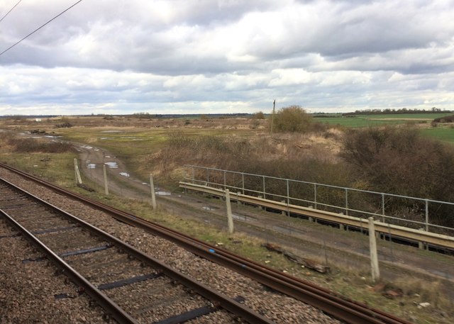
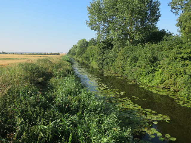
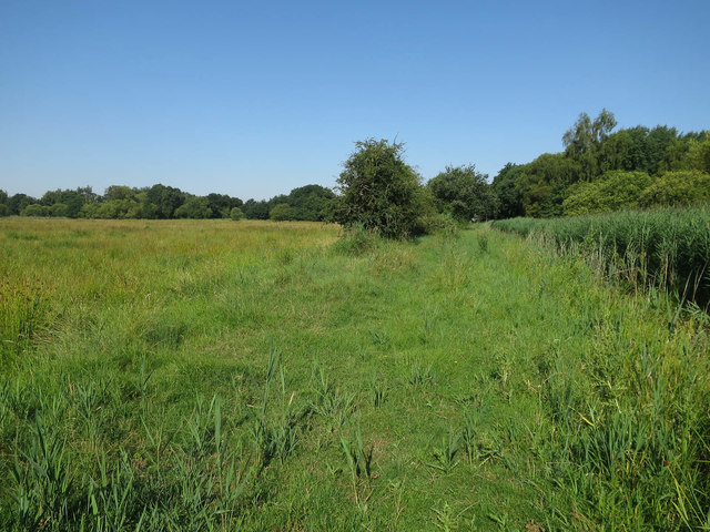
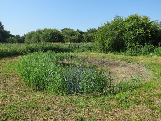
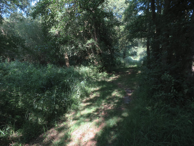
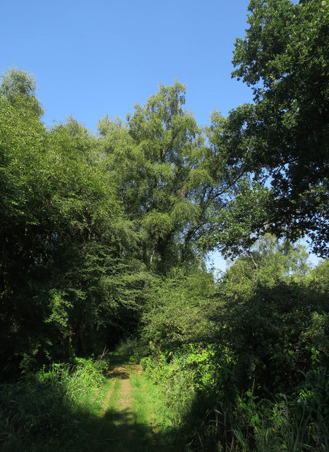
Big Holt is a small woodland located in Huntingdonshire, in the county of Cambridgeshire, England. Situated near the village of Woodhurst, it covers an area of approximately 20 acres. The woodland is a mixture of deciduous and coniferous trees, providing a diverse habitat for a variety of plant and animal species.
The main tree species found in Big Holt include oak, ash, birch, and pine. These trees provide both shelter and food for a range of wildlife, including birds such as tits, finches, and woodpeckers. Small mammals like squirrels and rabbits are also abundant in the area.
The forest floor of Big Holt is covered in a thick layer of leaf litter and fallen branches, creating a rich environment for insects, fungi, and other small invertebrates. It is not uncommon to find species such as beetles, spiders, and snails among the undergrowth.
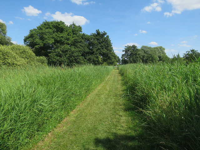
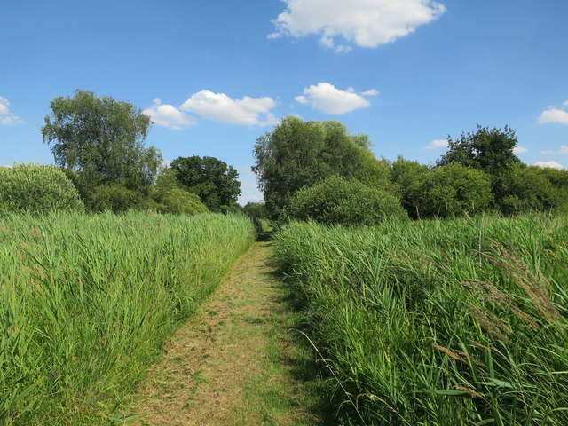
Big Holt is a popular spot for nature enthusiasts and walkers, with several footpaths crisscrossing the woodland. These paths allow visitors to explore the area and appreciate the natural beauty of the woodland. The tranquility and peacefulness of Big Holt make it an ideal place for relaxation and contemplation.
Overall, Big Holt in Huntingdonshire is a charming woodland that offers a glimpse into the diverse natural landscape of the region. With its mixture of tree species, thriving wildlife, and serene atmosphere, it is a place that attracts both locals and tourists alike.
If you have any feedback on the listing, please let us know in the comments section below.
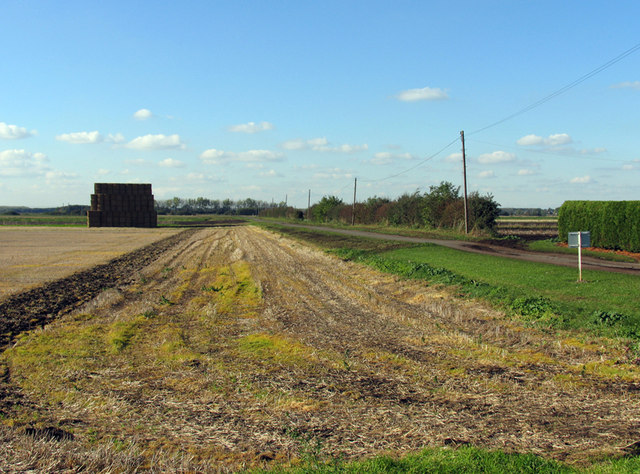
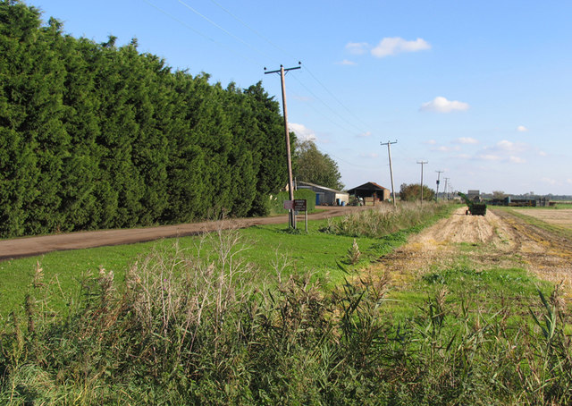
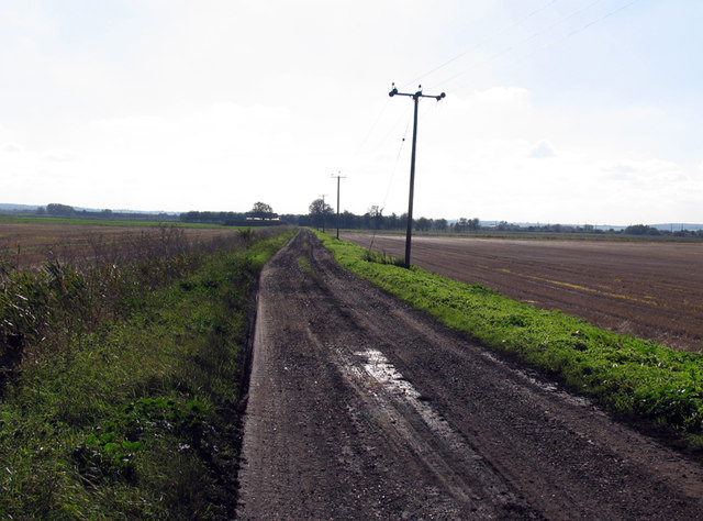
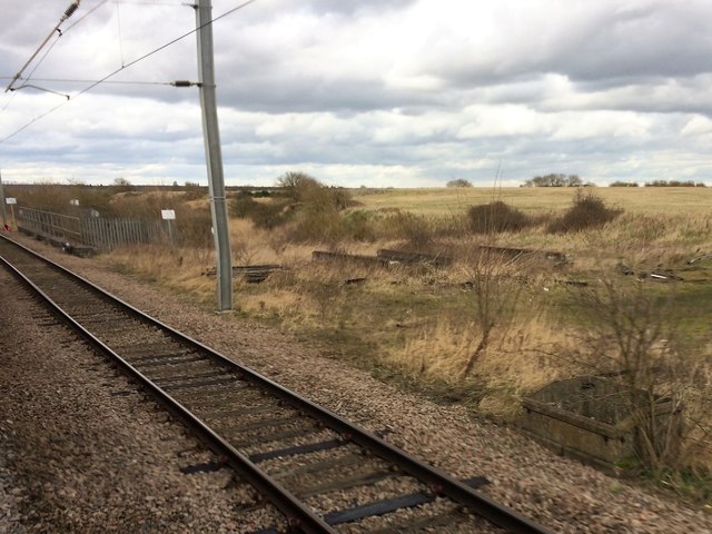
Big Holt Images
Images are sourced within 2km of 52.446243/-0.21150649 or Grid Reference TL2184. Thanks to Geograph Open Source API. All images are credited.

Big Holt is located at Grid Ref: TL2184 (Lat: 52.446243, Lng: -0.21150649)
Administrative County: Cambridgeshire
District: Huntingdonshire
Police Authority: Cambridgeshire
What 3 Words
///breathing.graph.port. Near Sawtry, Cambridgeshire
Nearby Locations
Related Wikis

Woodwalton Fen
Woodwalton Fen is a 209-hectare biological Site of Special Scientific Interest in the parish of Woodwalton, west of Ramsey in Huntingdonshire, Cambridgeshire...

Connington South rail crash
The Connington South rail crash occurred on 5 March 1967 on the East Coast Main Line near the village of Conington, Huntingdonshire, England. Five passengers...

Woodwalton Castle
Woodwalton Castle was a small motte and bailey castle at Church End, the northern end of the parish of Woodwalton, Huntingdonshire. Located on a natural...

Great Fen
The Great Fen is a habitat restoration project being undertaken on The Fens in the county of Cambridgeshire in England. It is one of the largest restoration...

Middle Level Navigations
The Middle Level Navigations are a network of waterways in England, primarily used for land drainage, which lie in The Fens between the Rivers Nene and...
St Andrew's Church, Woodwalton
St Andrew's Church is a redundant Anglican church standing in an isolated position in fields about 2 kilometres (1.2 mi) to the north of the village of...

Sawtry Abbey
Sawtry Abbey was a Cistercian abbey located between Sawtry and Woodwalton in Cambridgeshire, England. The abbey was founded in 1147 by Simon II de Senlis...

Ramsey Heights nature reserve
Ramsey Heights Nature Reserve is a small nature reserve near the village of Ramsey Heights in Cambridgeshire, England. The reserve is 5 ha (12 acres) in...
Have you been to Big Holt?
Leave your review of Big Holt below (or comments, questions and feedback).