Wood Walton Fen
Downs, Moorland in Huntingdonshire Huntingdonshire
England
Wood Walton Fen
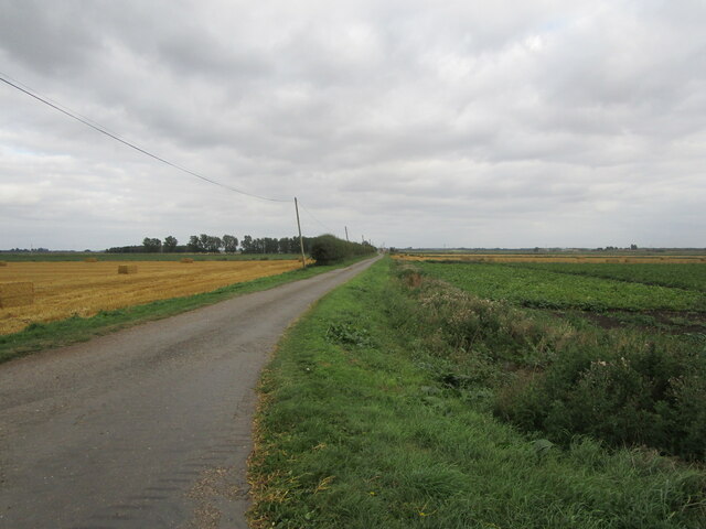
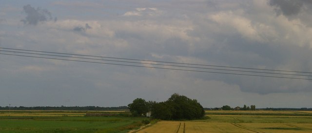
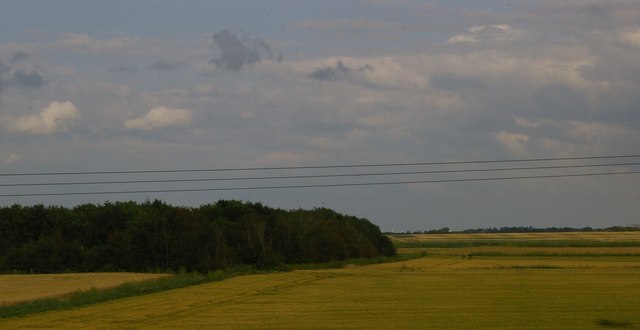
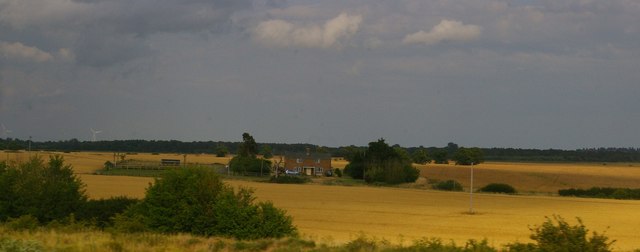
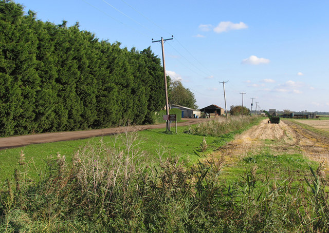
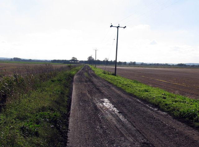
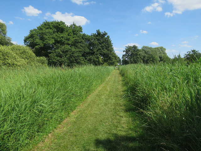
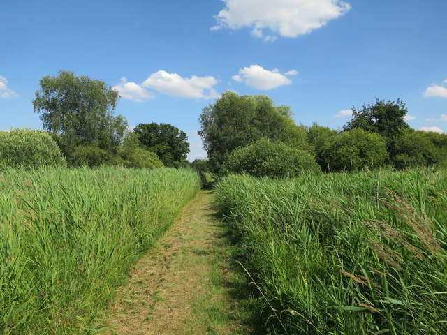
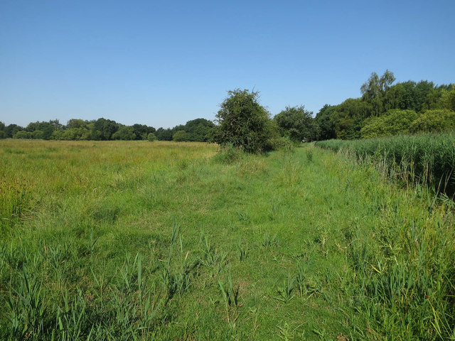
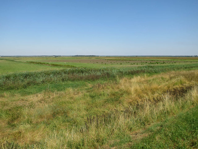
Wood Walton Fen is a nature reserve located in Huntingdonshire, England. It is situated in the district of Woodhurst, approximately 10 miles northwest of Huntingdon. Covering an area of 229 hectares, Wood Walton Fen is a mixture of woodlands, downs, and moorland, offering a diverse and unique habitat for a wide range of flora and fauna.
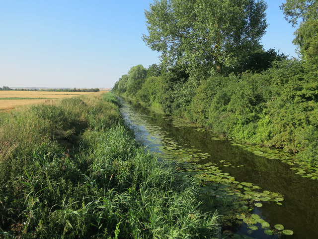
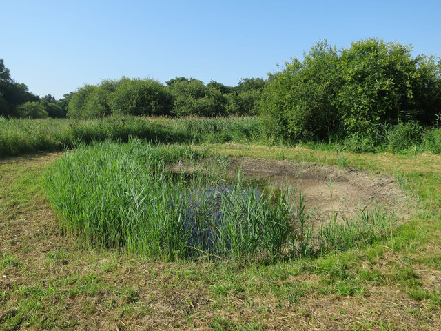
The reserve is characterized by its wetland environments, including marshes, ponds, and reed beds. These habitats support a variety of plant species, such as the rare fen violet, marsh fern, and yellow flag iris. Wood Walton Fen is also home to several species of orchids, including the lesser butterfly orchid and the southern marsh orchid.
The reserve is renowned for its rich birdlife, attracting both resident and migratory species. Visitors may spot birds such as the marsh harrier, bittern, and kingfisher. Wood Walton Fen is also a breeding ground for rare species like the black-tailed godwit and the little ringed plover.
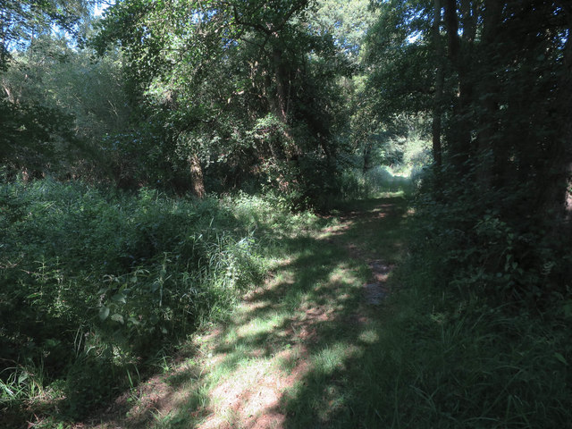
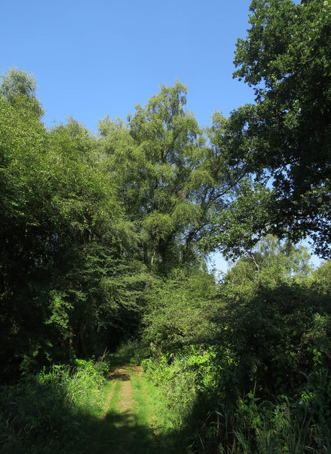
In addition to its diverse flora and fauna, Wood Walton Fen offers several walking trails and viewpoints for visitors to explore and enjoy the natural beauty of the area. The reserve is managed by the Royal Society for the Protection of Birds (RSPB) and is open to the public year-round. It provides a tranquil and peaceful escape for nature enthusiasts and offers educational opportunities for those interested in learning about the wetland ecosystem and conservation efforts.
If you have any feedback on the listing, please let us know in the comments section below.
Wood Walton Fen Images
Images are sourced within 2km of 52.445983/-0.20922152 or Grid Reference TL2184. Thanks to Geograph Open Source API. All images are credited.

Wood Walton Fen is located at Grid Ref: TL2184 (Lat: 52.445983, Lng: -0.20922152)
Administrative County: Cambridgeshire
District: Huntingdonshire
Police Authority: Cambridgeshire
What 3 Words
///forwarded.shorter.jazzy. Near Sawtry, Cambridgeshire
Nearby Locations
Related Wikis

Woodwalton Fen
Woodwalton Fen is a 209-hectare biological Site of Special Scientific Interest in the parish of Woodwalton, west of Ramsey in Huntingdonshire, Cambridgeshire...

Connington South rail crash
The Connington South rail crash occurred on 5 March 1967 on the East Coast Main Line near the village of Conington, Huntingdonshire, England. Five passengers...

Woodwalton Castle
Woodwalton Castle was a small motte and bailey castle at Church End, the northern end of the parish of Woodwalton, Huntingdonshire. Located on a natural...

Great Fen
The Great Fen is a habitat restoration project being undertaken on The Fens in the county of Cambridgeshire in England. It is one of the largest restoration...
St Andrew's Church, Woodwalton
St Andrew's Church is a redundant Anglican church standing in an isolated position in fields about 2 kilometres (1.2 mi) to the north of the village of...

Middle Level Navigations
The Middle Level Navigations are a network of waterways in England, primarily used for land drainage, which lie in The Fens between the Rivers Nene and...

Ramsey Heights nature reserve
Ramsey Heights Nature Reserve is a small nature reserve near the village of Ramsey Heights in Cambridgeshire, England. The reserve is 5 ha (12 acres) in...

Sawtry Abbey
Sawtry Abbey was a Cistercian abbey located between Sawtry and Woodwalton in Cambridgeshire, England. The abbey was founded in 1147 by Simon II de Senlis...
Have you been to Wood Walton Fen?
Leave your review of Wood Walton Fen below (or comments, questions and feedback).