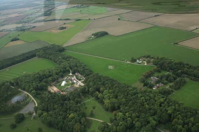
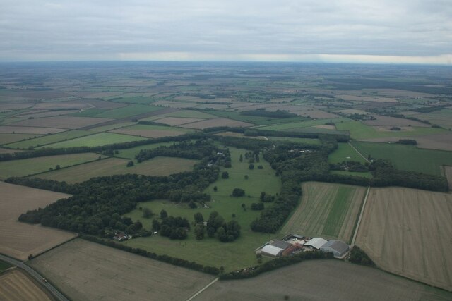
Top Belt
Wood, Forest in Lincolnshire East Lindsey
England
Top Belt
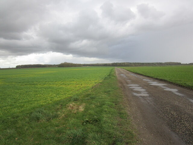
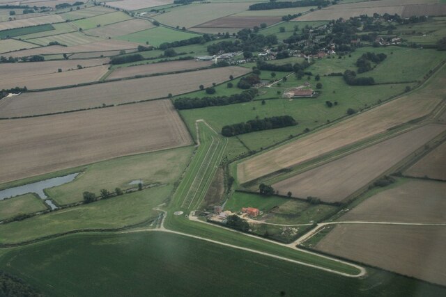
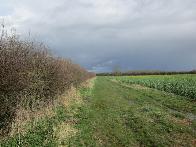
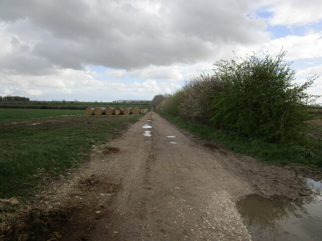
Top Belt is a small village located in the county of Lincolnshire, England. It is situated in the district of Wood and is part of the larger area known as Lincolnshire Forest. The village is surrounded by picturesque landscapes, characterized by lush greenery and dense woodlands.
The village itself is quaint and peaceful, with a population of around 500 residents. It offers a close-knit community atmosphere, with friendly locals and a strong sense of community spirit. The houses in Top Belt are predominantly traditional cottages, adding to the village's charm and rustic appeal.
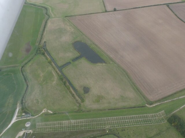
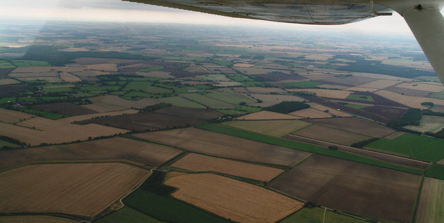
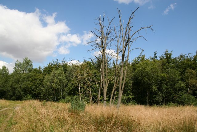
One of the highlights of Top Belt is its proximity to Lincolnshire Forest, which provides ample opportunities for outdoor activities such as hiking, walking, and cycling. The forest is home to diverse wildlife, including various species of birds, mammals, and plants, making it a haven for nature enthusiasts.
In terms of amenities, Top Belt has a small village shop that caters to the basic needs of its residents. However, for more extensive shopping and entertainment options, the nearby town of Wood is just a short drive away.
Overall, Top Belt in Lincolnshire offers a tranquil and idyllic setting for those seeking a peaceful countryside lifestyle. Its natural beauty, sense of community, and access to Lincolnshire Forest make it a desirable location for nature lovers and those looking to escape the hustle and bustle of city life.
If you have any feedback on the listing, please let us know in the comments section below.
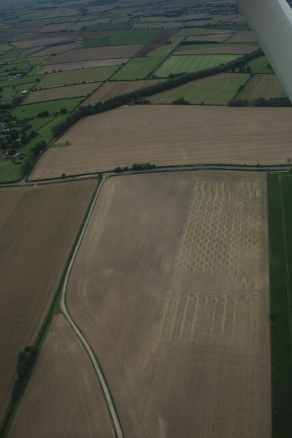
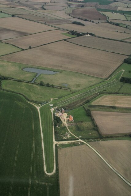
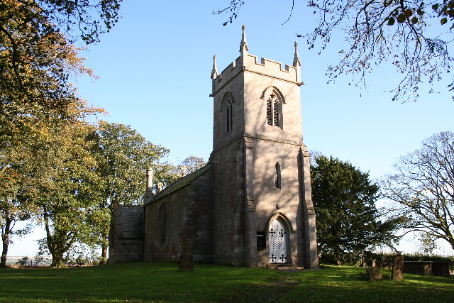
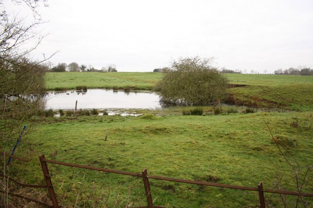
Top Belt Images
Images are sourced within 2km of 53.263768/-0.18085997 or Grid Reference TF2175. Thanks to Geograph Open Source API. All images are credited.


Top Belt is located at Grid Ref: TF2175 (Lat: 53.263768, Lng: -0.18085997)
Administrative County: Lincolnshire
District: East Lindsey
Police Authority: Lincolnshire
What 3 Words
///prefect.appetite.atlas. Near Horncastle, Lincolnshire
Nearby Locations
Related Wikis
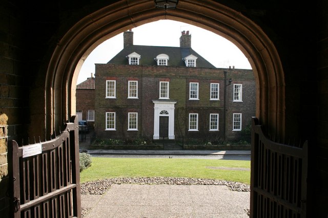
Hanby Hall
Hanby Hall is a Grade II* listed early 18th-century building in Alford, Lincolnshire. Hanby Hall was built by John Andrews. It is situated opposite St...

Great Sturton
Great Sturton is a hamlet and civil parish in the East Lindsey district of Lincolnshire, England. It is situated approximately 7 miles (11 km) from the...
Baumber
Baumber ( BAWM-bər) is a village and civil parish in the East Lindsey district of Lincolnshire, England. It is situated approximately 4 miles (6 km) north...

Hemingby
Hemingby is a dispersed village and civil parish in the East Lindsey district of Lincolnshire, England. It is situated approximately 3 miles (5 km) north...
Minting
Minting is a village and civil parish in the East Lindsey district of Lincolnshire, England. The village is situated 1 mile (1.6 km) south from the A158...
Ranby, Lincolnshire
Ranby is a village and civil parish in the East Lindsey district of Lincolnshire, England. It is situated about 6 miles (10 km) north-west from the market...

Sotby
Sotby is a village and civil parish in the East Lindsey district of Lincolnshire, England. It is situated 15 miles (24 km) north-east from the city and...
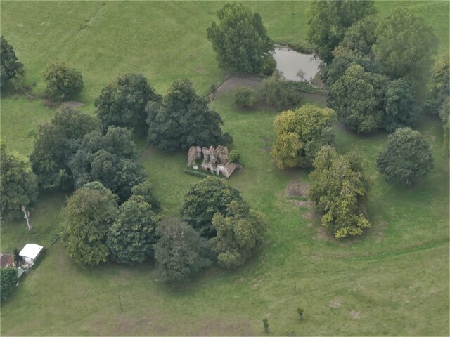
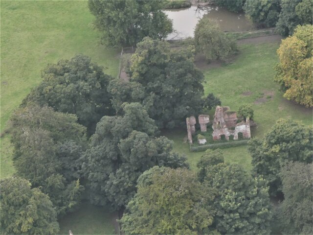
Minting Priory
Minting Priory was a priory in Minting, Lincolnshire, England. The priory for Benedictine monks was founded by Ranulf de Meschines, earl of Chester, to...
Nearby Amenities
Located within 500m of 53.263768,-0.18085997Have you been to Top Belt?
Leave your review of Top Belt below (or comments, questions and feedback).