Upper Pond
Lake, Pool, Pond, Freshwater Marsh in Lincolnshire East Lindsey
England
Upper Pond
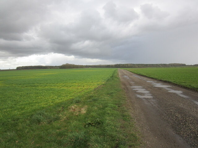
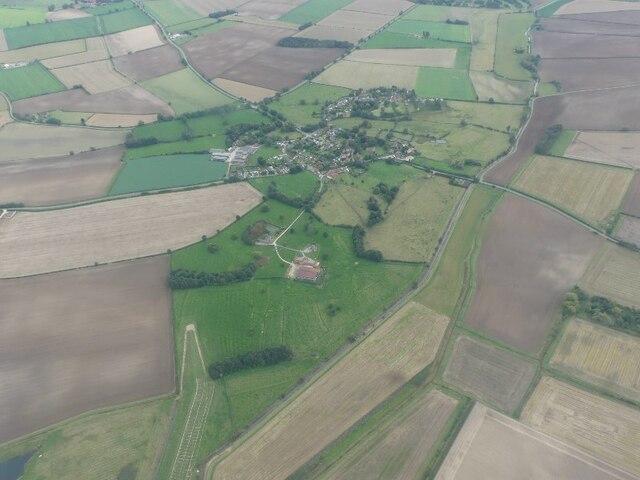
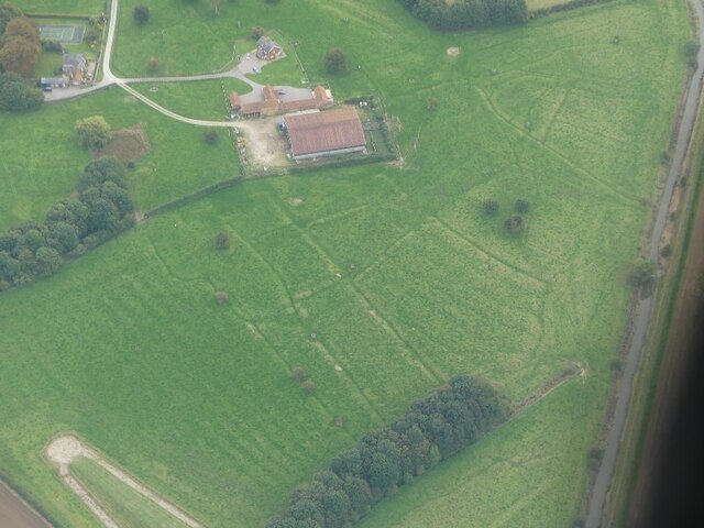
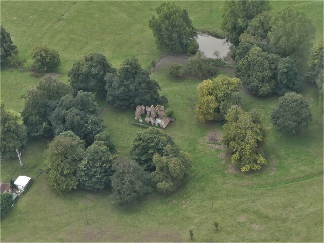
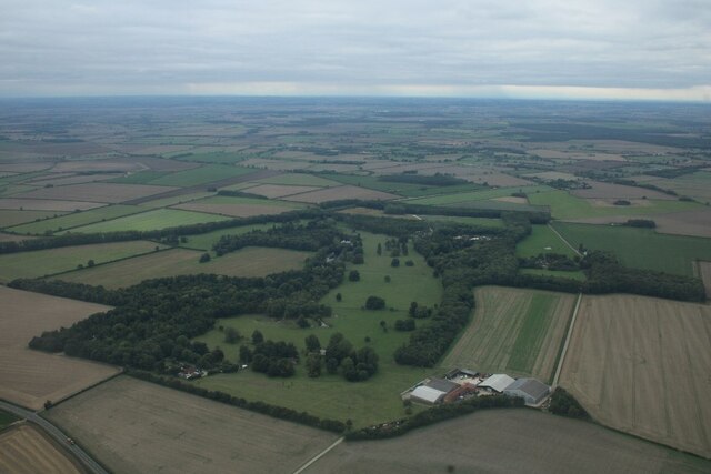
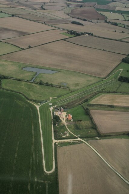
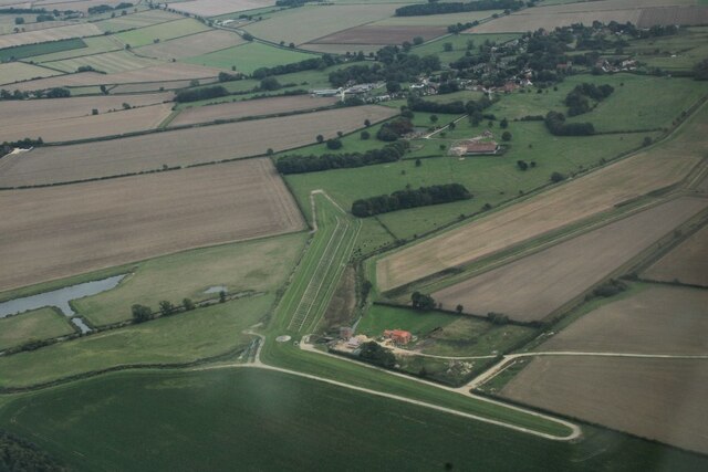
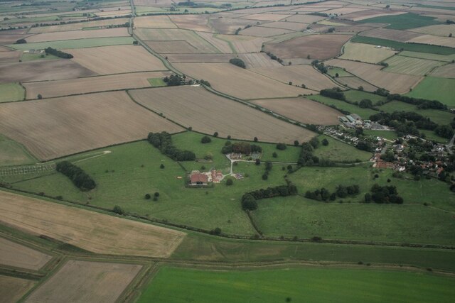
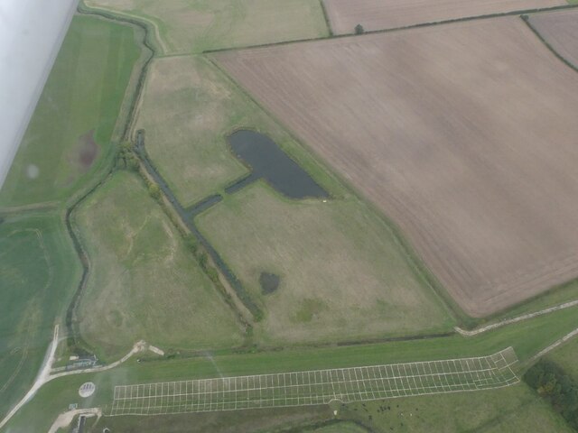
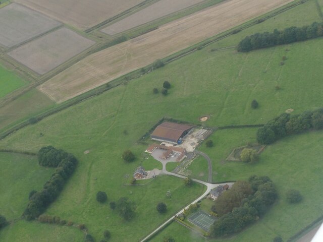
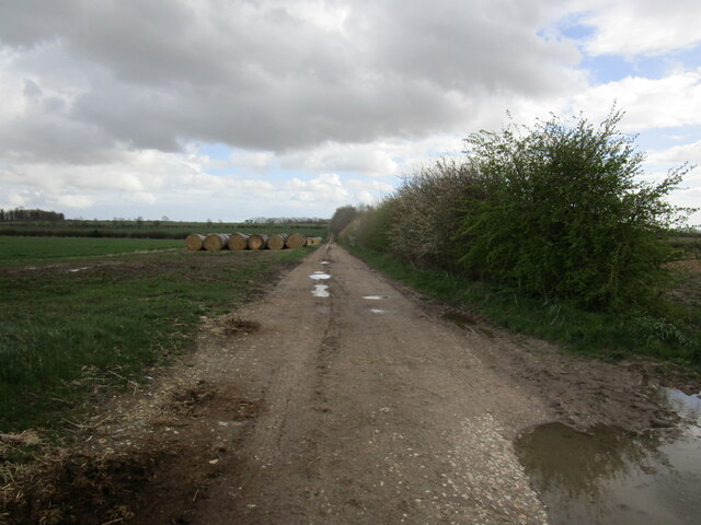
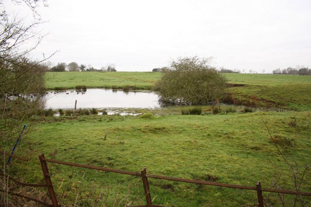
Upper Pond is a picturesque freshwater body located in Lincolnshire, England. Spread over an area of approximately 5 acres, it is a popular destination for nature enthusiasts and offers a serene environment for visitors to relax and enjoy the tranquility of the surroundings.
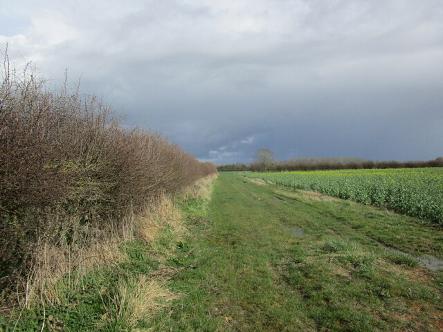
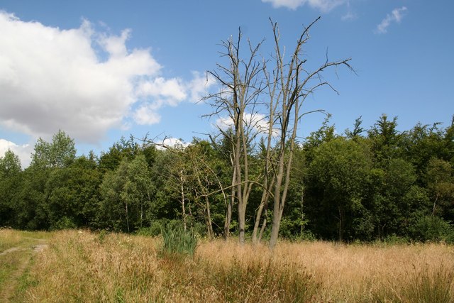
The pond is nestled amidst lush greenery, surrounded by a diverse range of flora and fauna. It serves as a home to various species of aquatic plants, such as water lilies and reeds, which add to the beauty of the landscape. The crystal-clear water of Upper Pond supports a thriving ecosystem, attracting a wide variety of wildlife.
Birdwatchers frequent the area to observe the numerous bird species that inhabit the pond and its vicinity. Common sightings include mallards, swans, herons, and kingfishers, among others. These birds find ample food sources in the pond's rich aquatic life, including fish, insects, and amphibians.
Upper Pond is also an ideal spot for fishing enthusiasts. It is stocked with a variety of fish species, including carp, roach, and perch. Anglers can be found casting their lines from the shores or from small boats, enjoying the peacefulness of the surroundings while trying to catch their next big fish.
The pond offers a serene ambiance, making it a popular spot for picnics and leisurely walks. Several benches are strategically placed along the shoreline, providing visitors with an opportunity to sit and soak in the beauty of the water and its surroundings.
Overall, Upper Pond in Lincolnshire is a haven for nature lovers, offering a unique blend of scenic beauty, diverse wildlife, and recreational activities that make it a must-visit destination for locals and tourists alike.
If you have any feedback on the listing, please let us know in the comments section below.
Upper Pond Images
Images are sourced within 2km of 53.261895/-0.17888537 or Grid Reference TF2175. Thanks to Geograph Open Source API. All images are credited.

Upper Pond is located at Grid Ref: TF2175 (Lat: 53.261895, Lng: -0.17888537)
Administrative County: Lincolnshire
District: East Lindsey
Police Authority: Lincolnshire
What 3 Words
///downturn.parkway.warblers. Near Horncastle, Lincolnshire
Nearby Locations
Related Wikis
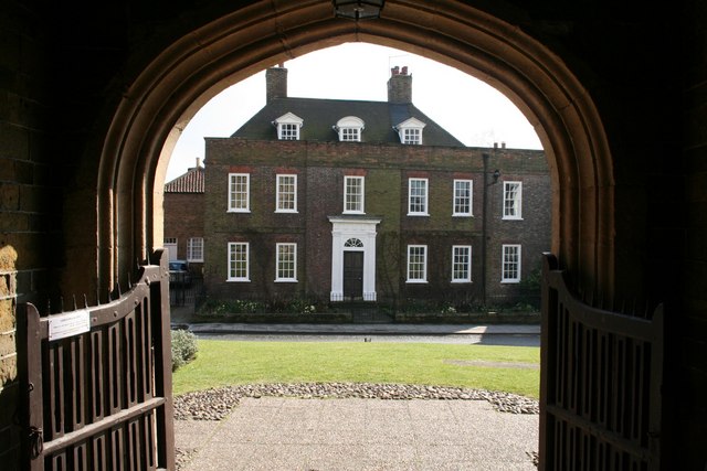
Hanby Hall
Hanby Hall is a Grade II* listed early 18th-century building in Alford, Lincolnshire. Hanby Hall was built by John Andrews. It is situated opposite St...

Great Sturton
Great Sturton is a hamlet and civil parish in the East Lindsey district of Lincolnshire, England. It is situated approximately 7 miles (11 km) from the...
Baumber
Baumber ( BAWM-bər) is a village and civil parish in the East Lindsey district of Lincolnshire, England. It is situated approximately 4 miles (6 km) north...

Hemingby
Hemingby is a dispersed village and civil parish in the East Lindsey district of Lincolnshire, England. It is situated approximately 3 miles (5 km) north...
Minting
Minting is a village and civil parish in the East Lindsey district of Lincolnshire, England. The village is situated 1 mile (1.6 km) south from the A158...

Ranby, Lincolnshire
Ranby is a village and civil parish in the East Lindsey district of Lincolnshire, England. It is situated about 6 miles (10 km) north-west from the market...
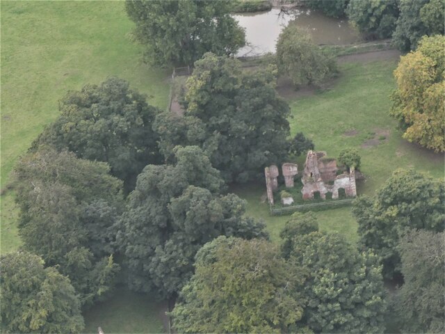
Minting Priory
Minting Priory was a priory in Minting, Lincolnshire, England. The priory for Benedictine monks was founded by Ranulf de Meschines, earl of Chester, to...

Sotby
Sotby is a village and civil parish in the East Lindsey district of Lincolnshire, England. It is situated 15 miles (24 km) north-east from the city and...
Nearby Amenities
Located within 500m of 53.261895,-0.17888537Have you been to Upper Pond?
Leave your review of Upper Pond below (or comments, questions and feedback).