Birchin Copse
Wood, Forest in Surrey Mole Valley
England
Birchin Copse

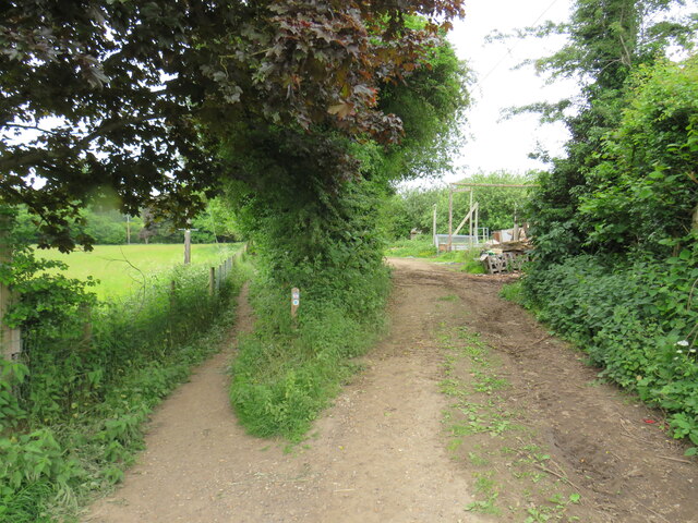
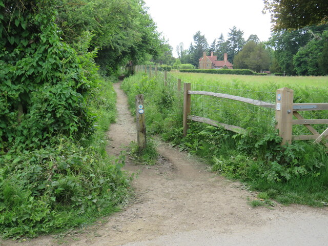
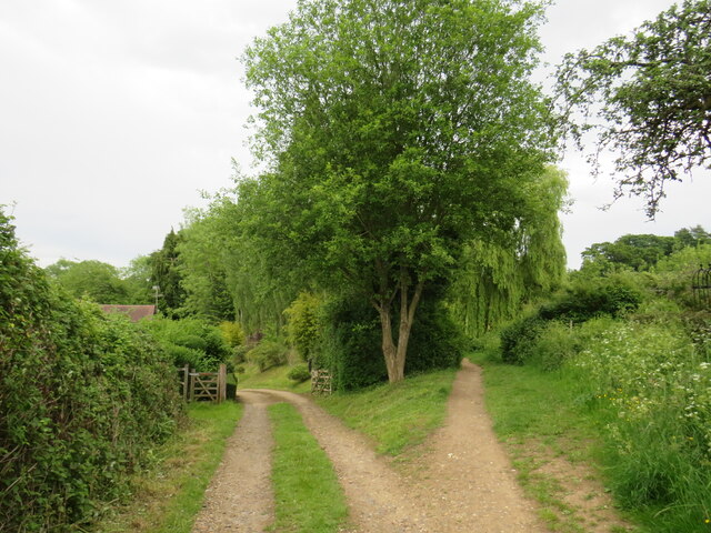
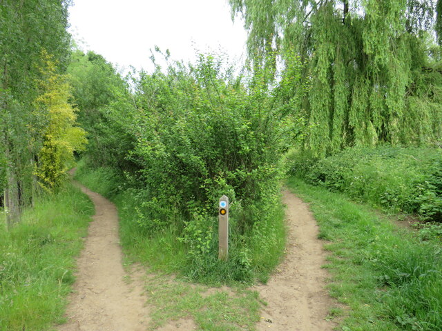
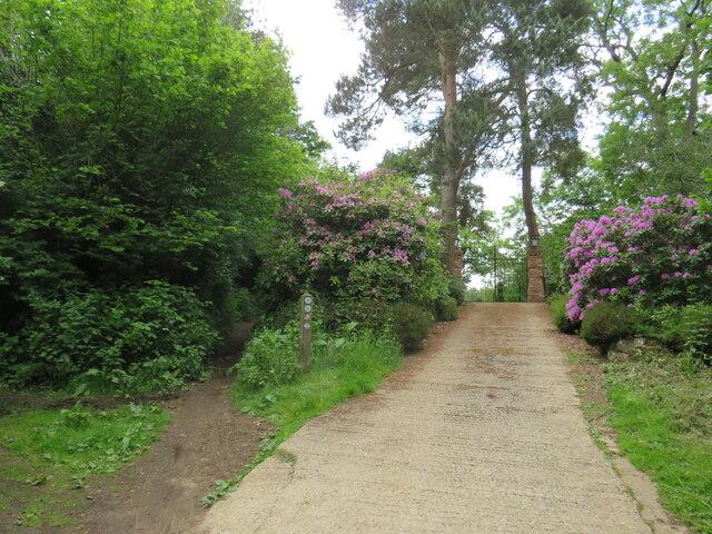
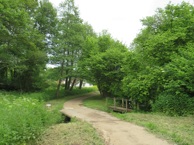
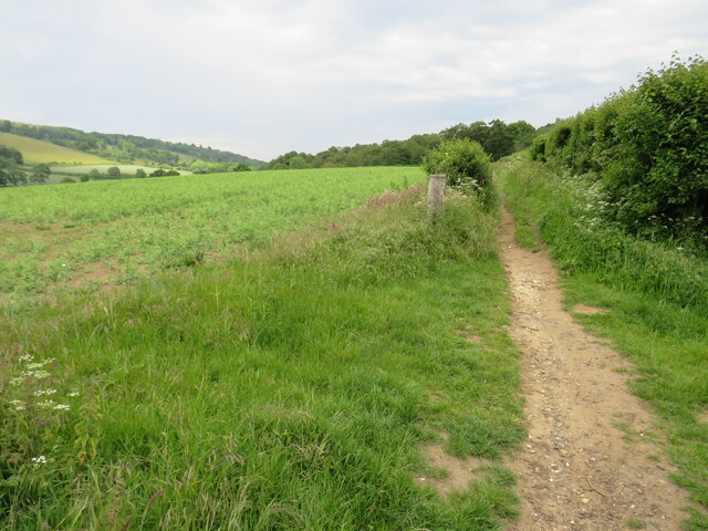
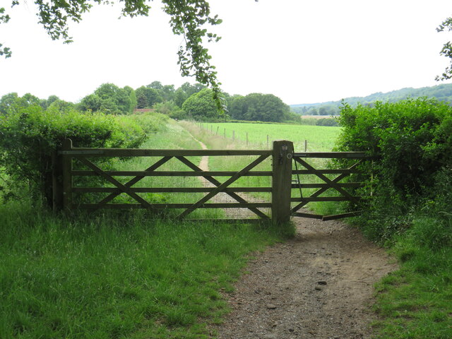
Birchin Copse is a picturesque woodland located in Surrey, England. Situated near the village of Hindhead, it is a popular destination for nature enthusiasts and hikers alike. Covering an area of approximately 30 acres, the copse is characterized by its dense and diverse vegetation, making it a haven for various flora and fauna.
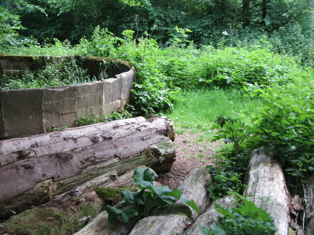
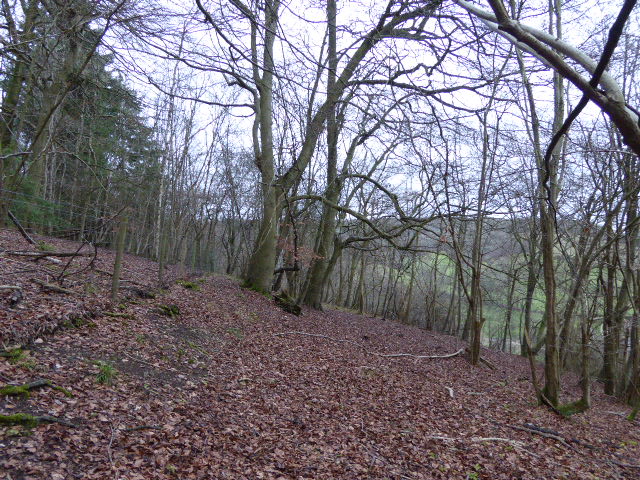
The woodland is primarily composed of broadleaf trees, including oak, beech, birch, and hazel. These towering trees create a dense canopy, providing shade and shelter for a variety of smaller plants and animals. Bluebells, wild garlic, and ferns carpet the forest floor in the spring, adding to its natural beauty.
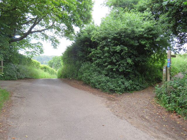
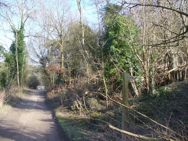
Several walking trails wind through the copse, allowing visitors to explore its hidden corners and discover its natural treasures. Along these paths, one may encounter a plethora of wildlife, including squirrels, rabbits, and a variety of bird species. The copse is particularly known for its vibrant birdlife, with sightings of woodpeckers, nuthatches, and thrushes being common.
Birchin Copse also has historical significance, as it was once part of the ancient Royal Forest of Woolmer. This forest, dating back to the medieval period, was used by royalty for hunting. Today, remnants of this history can still be seen in the form of ancient wood banks and ditches.
Overall, Birchin Copse offers visitors a tranquil escape into nature, with its lush greenery, diverse wildlife, and rich history. Whether one wishes to take a leisurely stroll or immerse themselves in the beauty of the woodland, this enchanting forest is a must-visit destination in Surrey.
If you have any feedback on the listing, please let us know in the comments section below.
Birchin Copse Images
Images are sourced within 2km of 51.218005/-0.42720776 or Grid Reference TQ0947. Thanks to Geograph Open Source API. All images are credited.


Birchin Copse is located at Grid Ref: TQ0947 (Lat: 51.218005, Lng: -0.42720776)
Administrative County: Surrey
District: Mole Valley
Police Authority: Surrey
What 3 Words
///handle.slams.noting. Near Peaslake, Surrey
Nearby Locations
Related Wikis
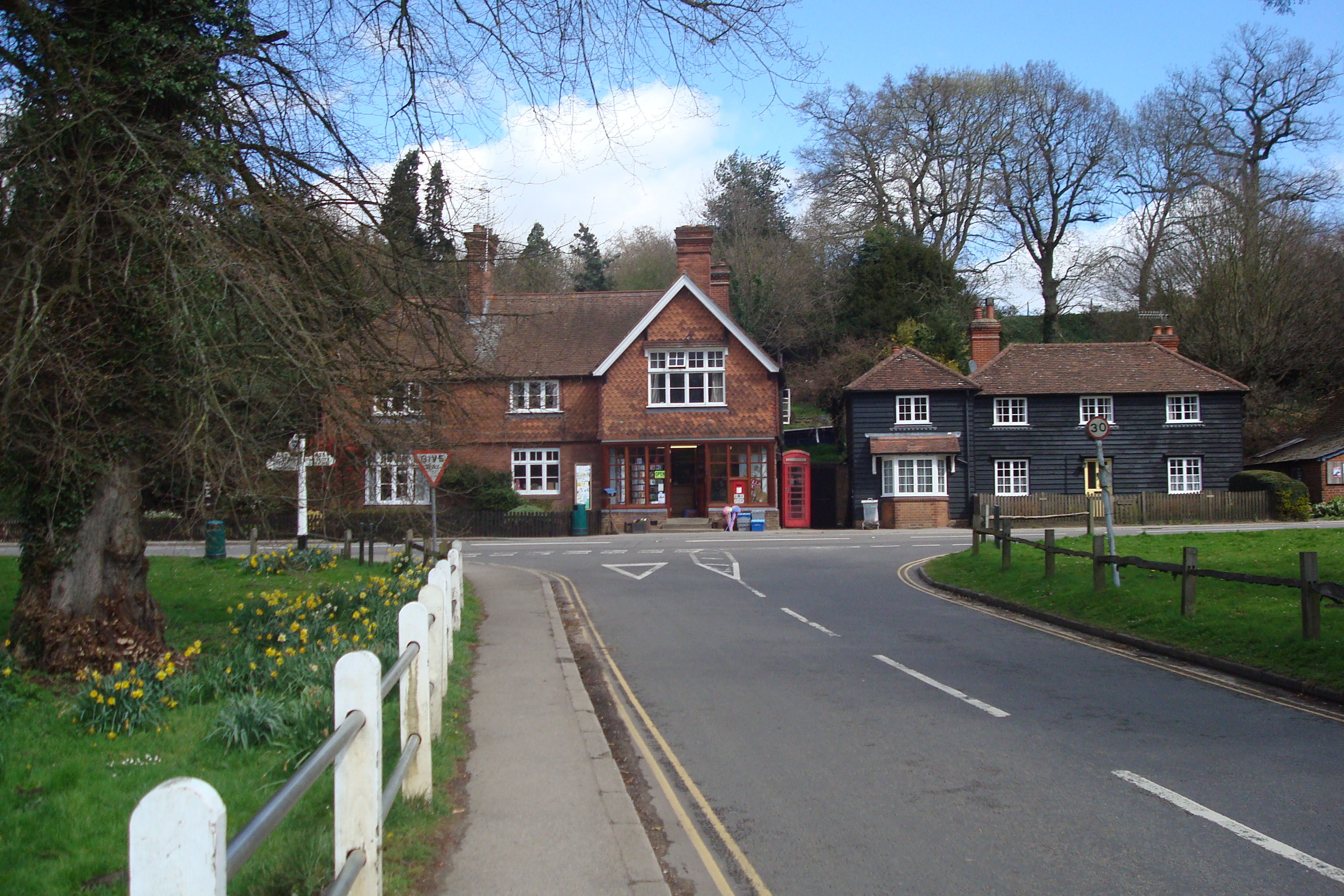
Abinger Hammer
Abinger Hammer is a village in the Vale of Holmesdale, located on the A25 in Surrey, England. The village is located within the Surrey Hills AONB, approximately...
Piney Copse
Piney Copse is 1.7 hectares (4.2 acres) of woodland located approximately 450 metres (1,480 ft) east of Gomshall railway station and north of the Surrey...
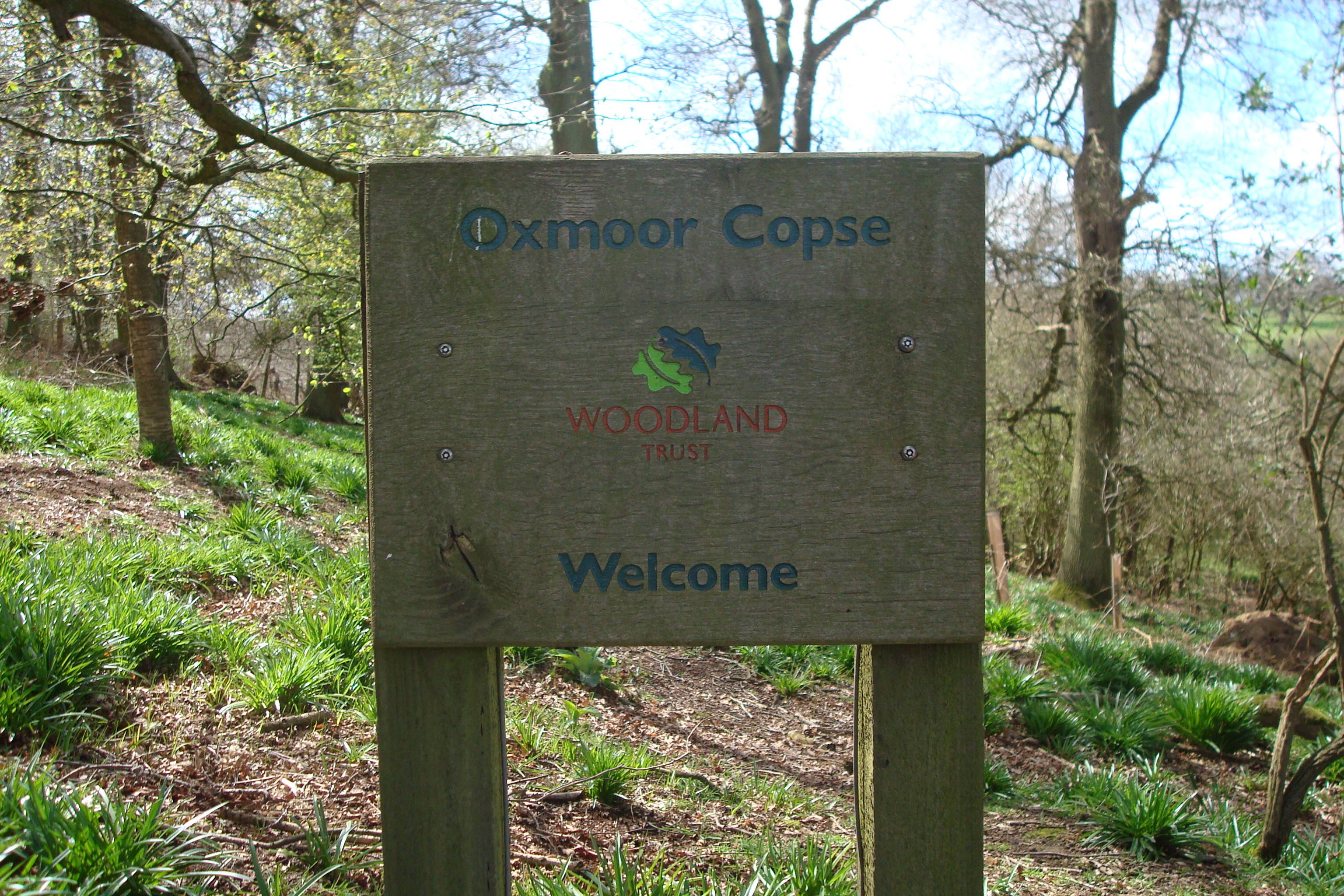
Oxmoor Copse
Oxmoor Copse is just south of the village of Abinger Hammer and to the west of the village of Abinger Common, in Surrey. It is 1.23 hectares (3.0 acres...

Gomshall railway station
Gomshall railway station serves the village of Gomshall in Surrey, England. The station, and all trains serving it, are operated by Great Western Railway...

Gomshall
Gomshall is a village in the borough of Guildford in Surrey, England.It is on the A25, roughly halfway between Guildford and Dorking, and in Shere civil...
Colekitchen Down
Colekitchen Down is a 3-hectare (7.4-acre) nature reserve north of Gomshall in Surrey. It is managed by the Surrey Wildlife Trust.This sloping area of...

Netley Heath
Netley Heath is an area of woods and heathland in the parish of Shere close to Gomshall in Surrey, England. It is part of a larger geological stratum across...

Hackhurst and White Downs
Hackhurst and White Downs is a 185.1-hectare (457-acre) biological Site of Special Scientific Interest west of Dorking in Surrey. White Downs is a Nature...
Nearby Amenities
Located within 500m of 51.218005,-0.42720776Have you been to Birchin Copse?
Leave your review of Birchin Copse below (or comments, questions and feedback).