Abinger Hammer

Settlement in Surrey Mole Valley

England

Abinger Hammer

National Cycle Network route 22 at Gomshall A bridleway used by National Cycle Network route 22 as it enters the village of Gomshall in Surrey.  The small blue sign on the post to the left of the image indicates the cycle route.
National Cycle Network route 22 at Gomshall Credit: Malc McDonald

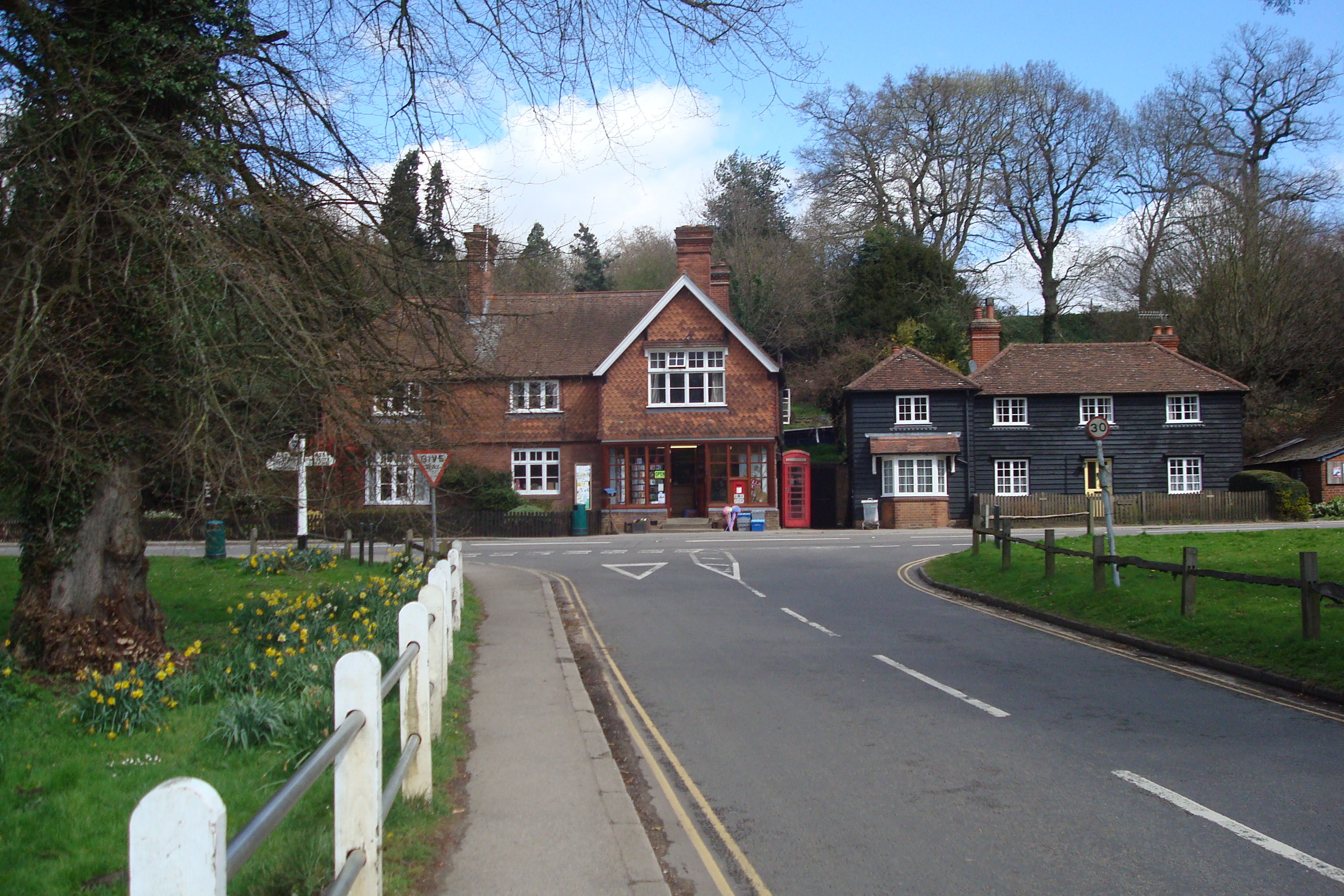
Abinger Hammer is a small village located in the district of Mole Valley, in the county of Surrey, England. Situated about 30 miles southwest of London, this picturesque village is nestled in the heart of the Surrey Hills Area of Outstanding Natural Beauty.

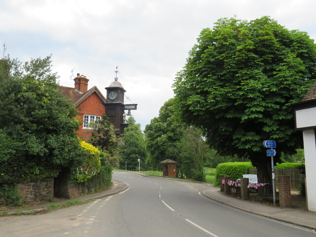
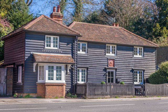
With a population of around 500 residents, Abinger Hammer exudes a charming rural character. The village is known for its historic buildings, including the Grade II-listed clock tower, which was erected in the 19th century as a memorial to the owner of the Abinger Hammer Mill.

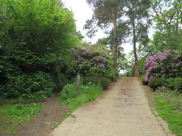
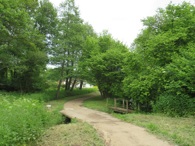
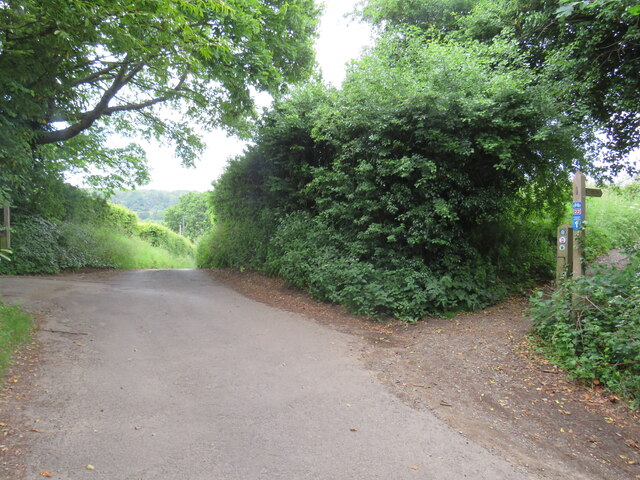
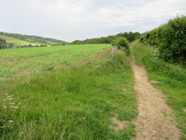
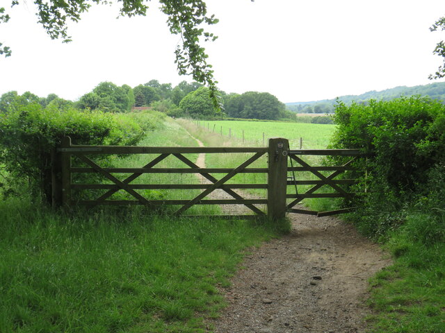
The village is surrounded by stunning countryside, offering ample opportunities for outdoor activities such as walking, cycling, and horse riding. The nearby Leith Hill, the highest point in southeastern England, provides visitors with breathtaking views of the surrounding landscape.

Abinger Hammer is also home to the Abinger Hammer Cricket Club, a local institution that has been in existence since the late 19th century. The club's picturesque ground is a popular spot for cricket enthusiasts and spectators alike.

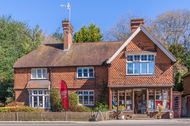
In terms of amenities, the village boasts a pub, The Abinger Hatch, which offers a warm and welcoming atmosphere for locals and visitors to enjoy a drink or a meal. There is also a village shop and post office, ensuring that residents have access to essential services within the community.

Overall, Abinger Hammer is a quintessential English village, offering a tranquil and idyllic setting for those seeking a peaceful retreat amidst the beautiful Surrey countryside.

If you have any feedback on the listing, please let us know in the comments section below.

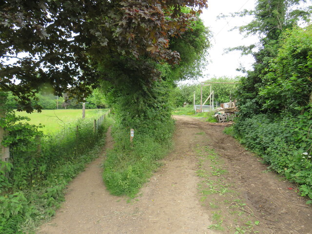
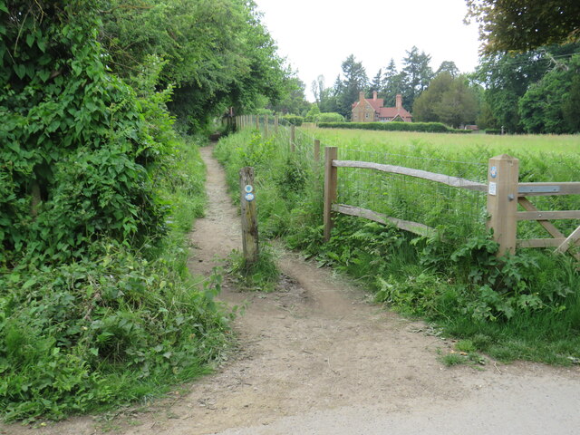
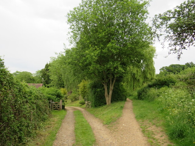
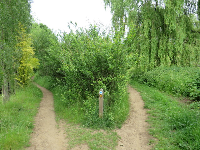
Abinger Hammer Images

Images are sourced within 2km of 51.214109/-0.43145 or Grid Reference TQ0947. Thanks to Geograph Open Source API. All images are credited.

National Cycle Network route 22 at Gomshall A bridleway used by National Cycle Network route 22 as it enters the village of Gomshall in Surrey.  The small blue sign on the post to the left of the image indicates the cycle route.
National Cycle Network route 22 at Gomshall
A bridleway used by National Cycle Network route 22 as it enters the village of Gomshall in Surrey. The small blue sign on the post to the left of the image indicates the cycle route.
Road junction in Gomshall A junction of minor roads in the Surrey village of Gomshall.  The junction is on route 22 of the National Cycle Network, indicated by the small blue sign attached to the signpost.
Road junction in Gomshall
A junction of minor roads in the Surrey village of Gomshall. The junction is on route 22 of the National Cycle Network, indicated by the small blue sign attached to the signpost.
Railway bridge at Gomshall An arch bridge carries the North Downs Line over a narrow lane in Gomshall.  The sign indicates the maximum height for vehicles passing beneath the bridge is 10 feet 3 inches.

Route 22 of the National Cycle Network passes through the arch.
Railway bridge at Gomshall
An arch bridge carries the North Downs Line over a narrow lane in Gomshall. The sign indicates the maximum height for vehicles passing beneath the bridge is 10 feet 3 inches. Route 22 of the National Cycle Network passes through the arch.
Railway bridge at Gomshall An arch bridge carries the North Downs Line over a narrow lane in Gomshall.

Route 22 of the National Cycle Network passes through the arch.
Railway bridge at Gomshall
An arch bridge carries the North Downs Line over a narrow lane in Gomshall. Route 22 of the National Cycle Network passes through the arch.
Towerhill Farm, Gomshall The track passing through the farm is a public right of way as a bridleway.  It forms part of route 22 of the National Cycle Network.
Towerhill Farm, Gomshall
The track passing through the farm is a public right of way as a bridleway. It forms part of route 22 of the National Cycle Network.
Bridleway and farm track at Gomshall The path to the left is a public bridleway which is on route 22 of the National Cycle Network.  To the right is a farm track.
Bridleway and farm track at Gomshall
The path to the left is a public bridleway which is on route 22 of the National Cycle Network. To the right is a farm track.
Public bridleway, Gomshall A public bridleway at Gomshall in Surrey.  The bridleway is on route 22 of the National Cycle Network.
Public bridleway, Gomshall
A public bridleway at Gomshall in Surrey. The bridleway is on route 22 of the National Cycle Network.
Private driveway and public bridleway, Gomshall A private driveway leading to a house on the left, and a public bridleway to the right.  The bridleway is on route 22 of the National Cycle Network.
Private driveway and public bridleway, Gomshall
A private driveway leading to a house on the left, and a public bridleway to the right. The bridleway is on route 22 of the National Cycle Network.
Paths fork near Gomshall A fork in the path near Gomshall.  The path to the right is a public footpath, while the path to the left is a public bridleway which can be used by horse riders and cyclists as well as walkers.

The bridleway is on route 22 of the National Cycle Network.
Paths fork near Gomshall
A fork in the path near Gomshall. The path to the right is a public footpath, while the path to the left is a public bridleway which can be used by horse riders and cyclists as well as walkers. The bridleway is on route 22 of the National Cycle Network.
Driveway and bridle path near Abinger Hammer A private driveway leading to a house near the village of Abinger Hammer in Surrey.  This image was taken in early June, as the rhododendrons were in bloom.

To the left of the driveway is a public bridleway.  This path forms part of route 22 of the National Cycle Network.
Driveway and bridle path near Abinger Hammer
A private driveway leading to a house near the village of Abinger Hammer in Surrey. This image was taken in early June, as the rhododendrons were in bloom. To the left of the driveway is a public bridleway. This path forms part of route 22 of the National Cycle Network.
Bridge over Tilling Bourne near Abinger Hammer A bridge carries a driveway across Tilling Bourne near the village of Abinger Hammer in Surrey.  The driveway is a public right of way as a bridleway, and forms part of route 22 of the National Cycle Network.
Bridge over Tilling Bourne near Abinger Hammer
A bridge carries a driveway across Tilling Bourne near the village of Abinger Hammer in Surrey. The driveway is a public right of way as a bridleway, and forms part of route 22 of the National Cycle Network.
Rad Lane, Abinger Hammer Rad Lane is a driveway leading to a few houses in the Surrey village of Abinger Hammer.  The lane is a public right of way as a bridleway, and is on route 22 of the National Cycle Network.
Rad Lane, Abinger Hammer
Rad Lane is a driveway leading to a few houses in the Surrey village of Abinger Hammer. The lane is a public right of way as a bridleway, and is on route 22 of the National Cycle Network.
Abinger Hammer The A25 road passing through the Surrey village of Abinger Hammer.

The blue signs towards the right of the image indicate the route taken by route 22 of the National Cycle Network.
Abinger Hammer
The A25 road passing through the Surrey village of Abinger Hammer. The blue signs towards the right of the image indicate the route taken by route 22 of the National Cycle Network.
Hackhurst Lane, Abinger Hammer Hackhurst Lane is a minor road climbing a hillside out of the village of Abinger Hammer.  It is on the route of National Cycle Network route 22 which then turns along the public bridleway to the right.  The blue and red sign attached to the wooden signpost indicates the cycle route.
Hackhurst Lane, Abinger Hammer
Hackhurst Lane is a minor road climbing a hillside out of the village of Abinger Hammer. It is on the route of National Cycle Network route 22 which then turns along the public bridleway to the right. The blue and red sign attached to the wooden signpost indicates the cycle route.
Public bridleway near Abinger Hammer This public bridleway in the North Downs forms part of route 22 of the National Cycle Network.
Public bridleway near Abinger Hammer
This public bridleway in the North Downs forms part of route 22 of the National Cycle Network.
Gate on National Cycle Network route 22 near Abinger Hammer A gate on a public bridleway in the North Downs.  The bridleway forms part of the route of National Cycle Network route 22.
Gate on National Cycle Network route 22 near Abinger Hammer
A gate on a public bridleway in the North Downs. The bridleway forms part of the route of National Cycle Network route 22.
Grasmere Black weatherboarded house on Guildford Road.  Above the front door is a Wotton estate plaque, depicting a griffin - see <a href="https://www.geograph.org.uk/photo/7159118">TQ1248 : Gable on barn, Park Farm</a> for a close up of another example.
Grasmere
Black weatherboarded house on Guildford Road. Above the front door is a Wotton estate plaque, depicting a griffin - see TQ1248 : Gable on barn, Park Farm for a close up of another example.
Abinger Hammer village shop Village shop and tea room (and former post office, which closed in 2004) on Guildford Road.
Abinger Hammer village shop
Village shop and tea room (and former post office, which closed in 2004) on Guildford Road.
Show me another place!

Abinger Hammer is located at Grid Ref: TQ0947 (Lat: 51.214109, Lng: -0.43145)

Administrative County: Surrey

District: Mole Valley

Police Authority: Surrey

What 3 Words

///motor.fact.elaborate. Near Peaslake, Surrey

Related Wikis

Abinger Hammer

Abinger Hammer is a village in the Vale of Holmesdale, located on the A25 in Surrey, England. The village is located within the Surrey Hills AONB, approximately...
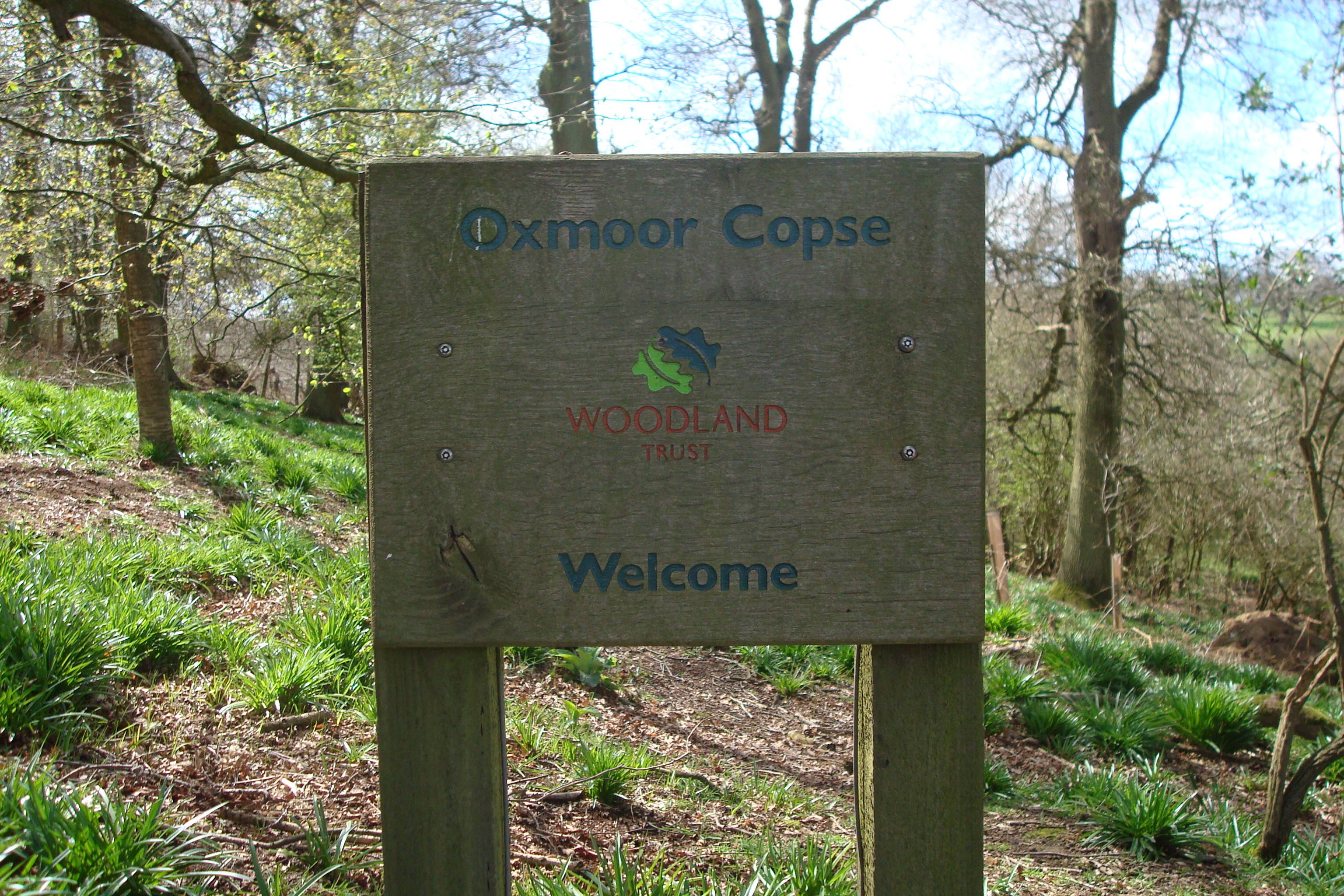
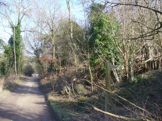
Oxmoor Copse

Oxmoor Copse is just south of the village of Abinger Hammer and to the west of the village of Abinger Common, in Surrey. It is 1.23 hectares (3.0 acres...

Piney Copse

Piney Copse is 1.7 hectares (4.2 acres) of woodland located approximately 450 metres (1,480 ft) east of Gomshall railway station and north of the Surrey...

Gomshall railway station

Gomshall railway station serves the village of Gomshall in Surrey, England. The station, and all trains serving it, are operated by Great Western Railway...

Gomshall

Gomshall is a village in the borough of Guildford in Surrey, England.It is on the A25, roughly halfway between Guildford and Dorking, and in Shere civil...

Colekitchen Down

Colekitchen Down is a 3-hectare (7.4-acre) nature reserve north of Gomshall in Surrey. It is managed by the Surrey Wildlife Trust.This sloping area of...

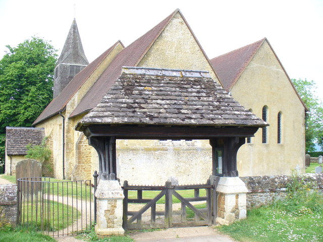
St James's Church, Abinger Common

St James's Church stands on Abinger Lane in Abinger Common, a small village within the civil parish of Abinger in Surrey, south-eastern England. The church...

Abinger Common War Memorial

Abinger Common War Memorial is a First World War memorial in the village of Abinger Common in Surrey, south-eastern England. The memorial was destroyed...

Nearby Amenities

Located within 500m of 51.214109,-0.43145
Shop: convenience
Lat/Long: 51.2157592/-0.4315115
Paddington Farm
Landuse: farm
Note Retag: CS #48756035
Source: npe
Lat/Long: 51.2123442/-0.4255357
Man Made: survey_point
Source: npe
Lat/Long: 51.211618/-0.4371686
The Abinger Arms
Disused Amenity: pub
Lat/Long: 51.216427/-0.4334975
Abinger Hammer Clock
Tourism: attraction
Wheelchair: yes
Wheelchair Description: Above roadway. View from footway.
Lat/Long: 51.2161851/-0.4330119
Abinger Hammer Motors
Note: Triumph Stag Maintenance
Shop: garage
Lat/Long: 51.215048/-0.4315043
Bus Stop
Clockhouse
Naptan AtcoCode: 40004408095A
Naptan Bearing: E
Naptan CommonName: Clockhouse
Naptan Indicator: E-bound
Naptan Landmark: Clockhouse
Naptan NaptanCode: surdadpd
Naptan Street: Guildford Road
Naptan Verified: yes
Public Transport: platform
Source: naptan_import
Lat/Long: 51.2158999/-0.4320098
Bus Stop
Clockhouse
Naptan AtcoCode: 40004408095B
Naptan Bearing: W
Naptan CommonName: Clockhouse
Naptan Indicator: W-bound
Naptan Landmark: Clockhouse
Naptan NaptanCode: surdadpg
Naptan Street: Guildford Road
Naptan Verified: yes
Public Transport: platform
Source: naptan_import
Lat/Long: 51.2159496/-0.4325118
Bus Stop
Paddington Farm
Bench: no
Naptan AtcoCode: 40004408096A
Naptan Bearing: E
Naptan CommonName: Paddington Farm
Naptan Indicator: Opp
Naptan Landmark: Paddington Farm
Naptan NaptanCode: surdadpj
Naptan Street: Guildford Road
Naptan Verified: yes
Public Transport: platform
Shelter: no
Source: naptan_import
Lat/Long: 51.2146077/-0.4251913
Bus Stop
Paddington Farm
Naptan AtcoCode: 40004408096B
Naptan Bearing: W
Naptan CommonName: Paddington Farm
Naptan Indicator: adj
Naptan Landmark: Paddington Farm
Naptan NaptanCode: surdadpm
Naptan Street: Guildford Road
Naptan Verified: yes
Public Transport: platform
Source: naptan_import
Lat/Long: 51.2145578/-0.4257991
Old Hatch Farm
Place: farm
Source: os_street_view
Lat/Long: 51.2175607/-0.4355803
Barrier: stile
Lat/Long: 51.2118854/-0.4341308
Oxmore Copse
Leisure: nature_reserve
Wikidata: Q7115698
Wikipedia: en:Oxmoor Copse
Lat/Long: 51.2100252/-0.4305589
Barrier: stile
Foot: yes
Source: P142-0471
Lat/Long: 51.2109249/-0.431615
Barrier: stile
Foot: yes
Lat/Long: 51.2102906/-0.4301218
Paddington Mill
Building: yes
Lat/Long: 51.2140242/-0.425855
Fire Hydrant
Emergency: fire_hydrant
Fire Hydrant Diameter: 75
Fire Hydrant Type: underground
Lat/Long: 51.214605/-0.4254068
Abinger Hammer
Place: village
Wikidata: Q2225649
Lat/Long: 51.2169492/-0.4331841
Barrier: stile
Lat/Long: 51.2103954/-0.4304801
Cafe
Abinger Hammer Tea Rooms
Lat/Long: 51.2158035/-0.4316164
Parking
Lat/Long: 51.2148407/-0.4309263
Parking
Lat/Long: 51.2145108/-0.4307219
Power: pole
Source: surrey air survey
Lat/Long: 51.2111703/-0.4301302
Power: pole
Source: surrey air survey
Lat/Long: 51.2121712/-0.4303689
Power: pole
Source: surrey air survey
Lat/Long: 51.2130691/-0.4305542
Power: pole
Source: surrey air survey
Lat/Long: 51.2139943/-0.4305651
The data included in this document is from www.openstreetmap.org. The data is made available under ODbL.

Have you been to Abinger Hammer?

Leave your review of Abinger Hammer below (or comments, questions and feedback).