Hammer Marsh
Lake, Pool, Pond, Freshwater Marsh in Surrey Mole Valley
England
Hammer Marsh
Hammer Marsh, located in Surrey, England, is a picturesque freshwater marsh consisting of a lake, pool, and pond. Spanning across a vast area, it serves as a vital habitat for a diverse range of flora and fauna. The marsh is situated amidst a tranquil landscape, surrounded by lush greenery and rolling hills.
The centerpiece of Hammer Marsh is its expansive lake, which stretches across a significant portion of the area. The lake is fed by freshwater streams and rainfall, ensuring a constant supply of water throughout the year. Its crystal-clear waters are home to various species of fish, including carp, roach, and perch, which attract fishing enthusiasts from far and wide.
Adjacent to the lake is a smaller, secluded pool. This pool offers a more intimate and peaceful setting, providing a serene spot for visitors to relax or engage in bird-watching activities. The pool is teeming with life, with waterfowl such as ducks and geese frequently seen gliding across its surface.
Further into the marsh, a serene pond can be found, nestled among tall reeds and aquatic plants. The pond provides a sanctuary for amphibians and insects, acting as a breeding ground for frogs, newts, and dragonflies. Its calm waters are often adorned with beautiful water lilies, adding to the marsh's natural charm.
Hammer Marsh is a haven for wildlife enthusiasts, offering the opportunity to observe a myriad of bird species, including herons, swans, and kingfishers. The marshland vegetation, consisting of reeds, rushes, and willows, provides an ideal habitat for these birds, as well as small mammals and reptiles.
Overall, Hammer Marsh in Surrey is a captivating destination for nature lovers, offering a diverse range of habitats and a rich abundance of wildlife. Its tranquil surroundings and serene waters make it a perfect retreat for those seeking solace in the beauty of the natural world.
If you have any feedback on the listing, please let us know in the comments section below.
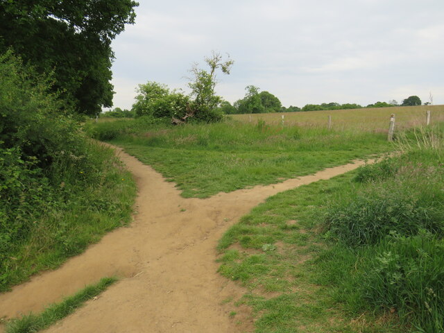
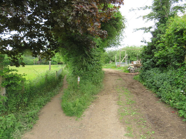
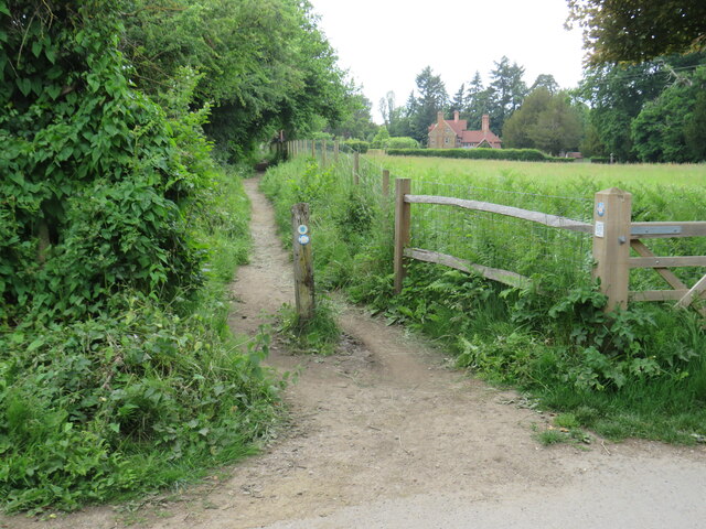
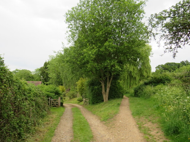
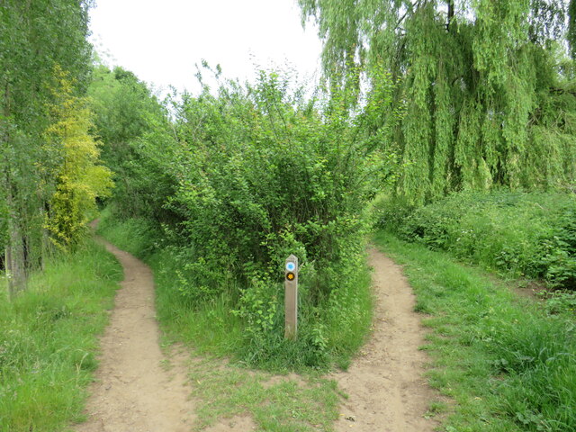
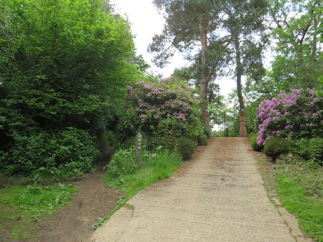
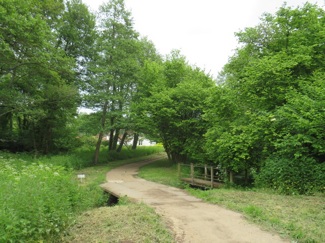
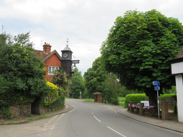
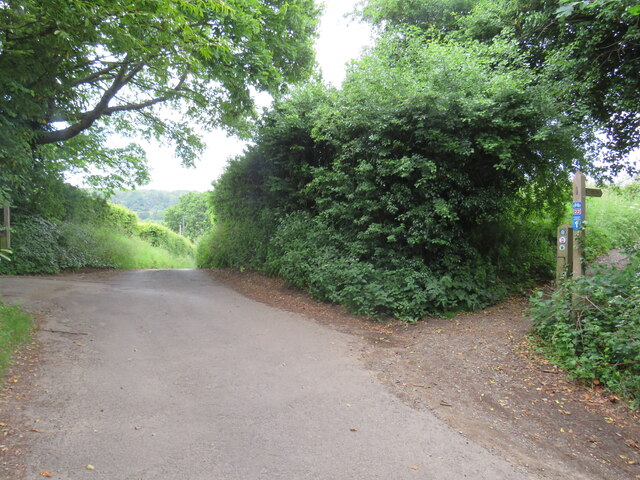
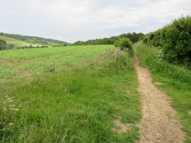
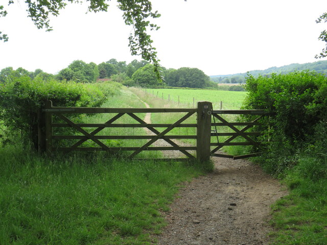
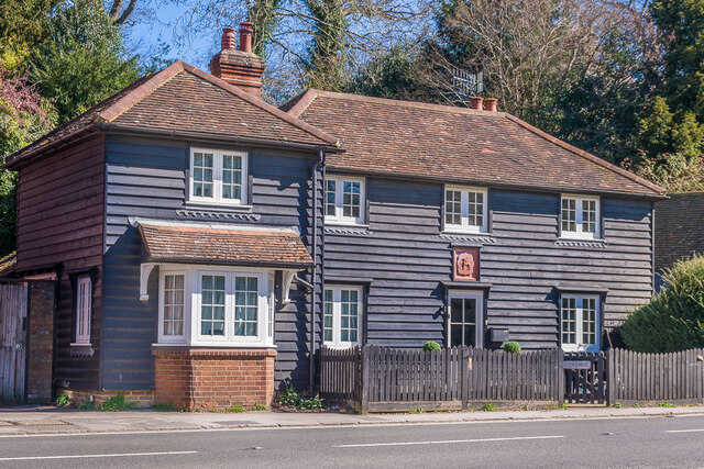
Hammer Marsh Images
Images are sourced within 2km of 51.215295/-0.43299877 or Grid Reference TQ0947. Thanks to Geograph Open Source API. All images are credited.


Hammer Marsh is located at Grid Ref: TQ0947 (Lat: 51.215295, Lng: -0.43299877)
Administrative County: Surrey
District: Mole Valley
Police Authority: Surrey
What 3 Words
///melt.invite.organs. Near Peaslake, Surrey
Nearby Locations
Related Wikis
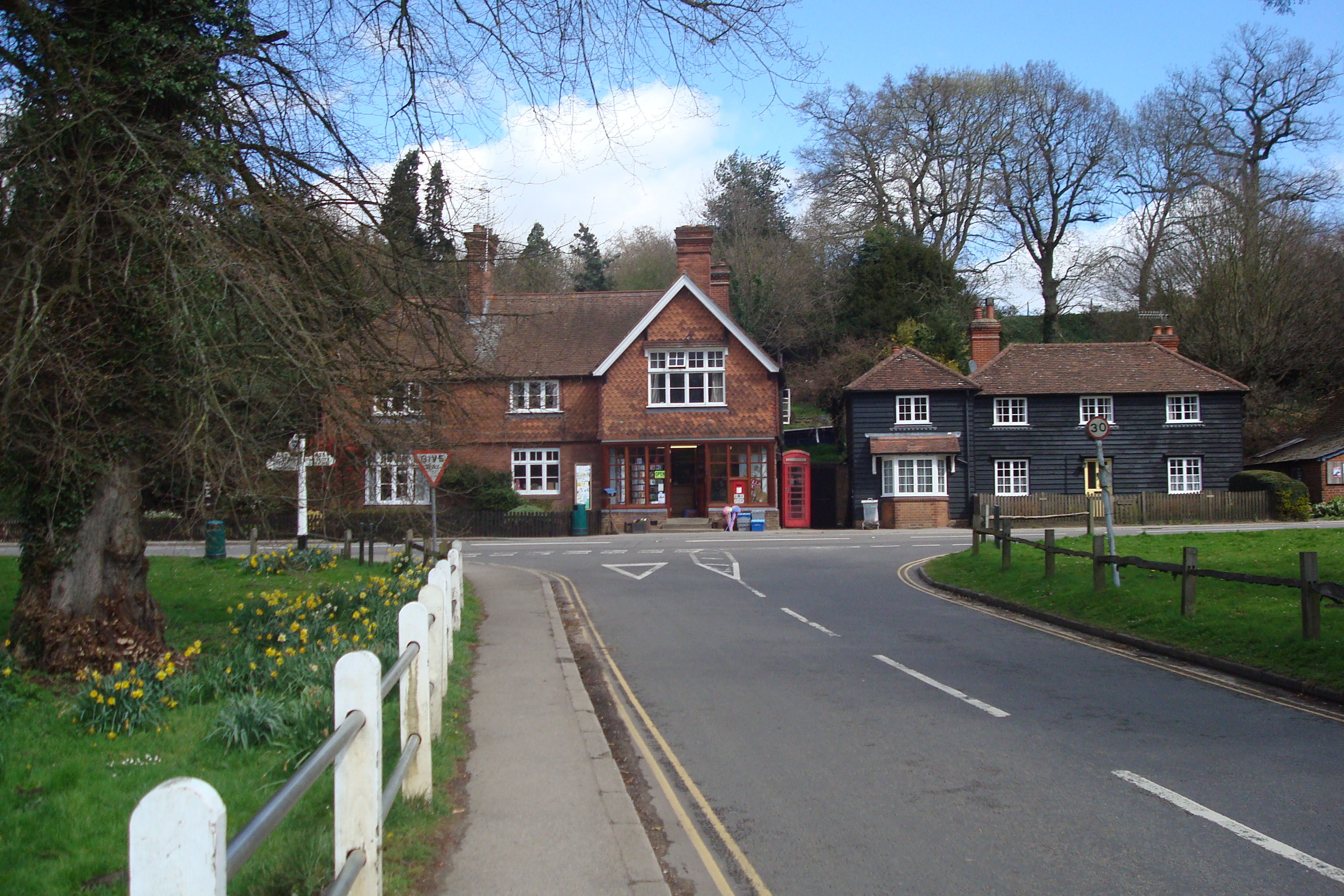
Abinger Hammer
Abinger Hammer is a village in the Vale of Holmesdale, located on the A25 in Surrey, England. The village is located within the Surrey Hills AONB, approximately...
Piney Copse
Piney Copse is 1.7 hectares (4.2 acres) of woodland located approximately 450 metres (1,480 ft) east of Gomshall railway station and north of the Surrey...
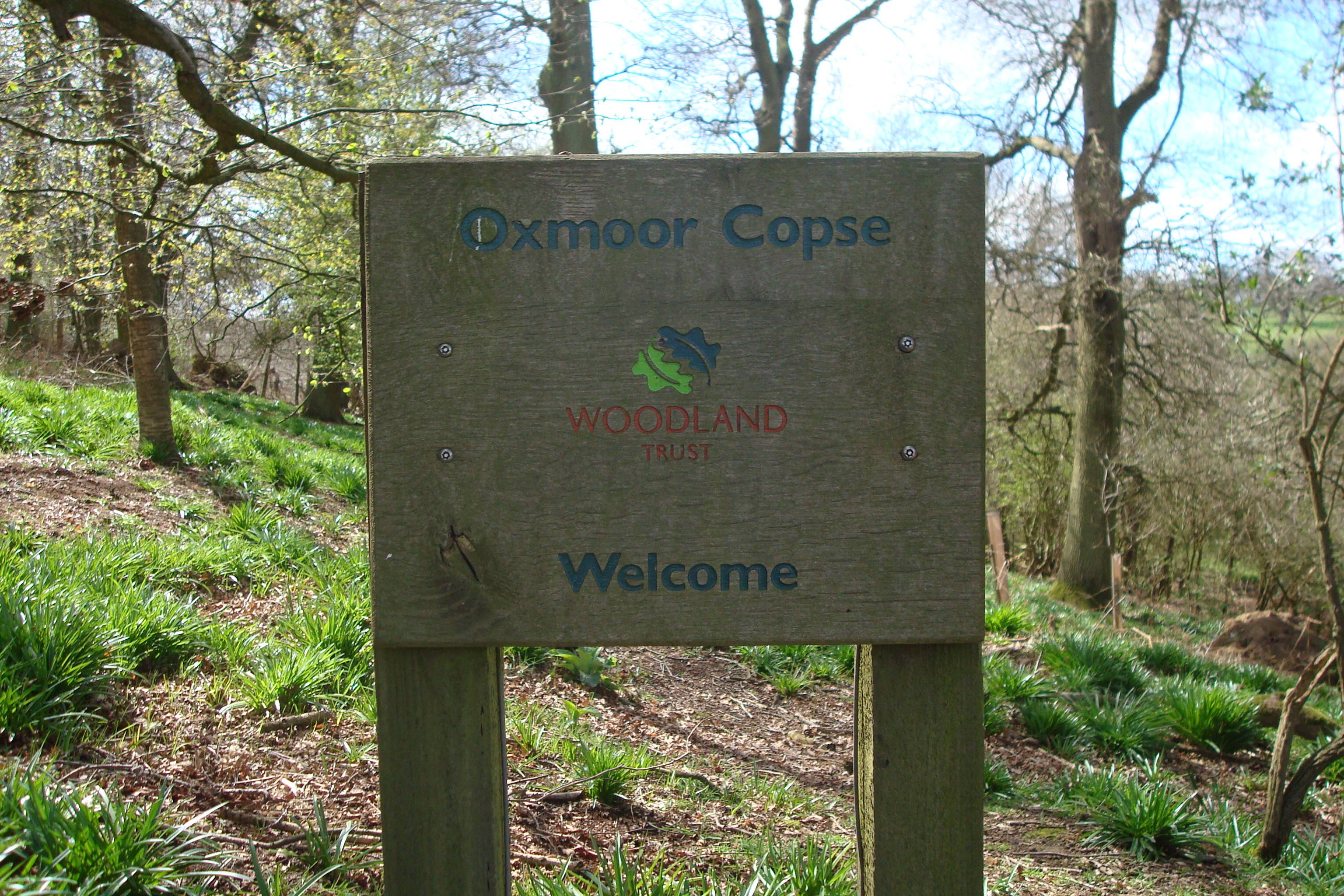
Oxmoor Copse
Oxmoor Copse is just south of the village of Abinger Hammer and to the west of the village of Abinger Common, in Surrey. It is 1.23 hectares (3.0 acres...

Gomshall railway station
Gomshall railway station serves the village of Gomshall in Surrey, England. The station, and all trains serving it, are operated by Great Western Railway...

Gomshall
Gomshall is a village in the borough of Guildford in Surrey, England.It is on the A25, roughly halfway between Guildford and Dorking, and in Shere civil...
Colekitchen Down
Colekitchen Down is a 3-hectare (7.4-acre) nature reserve north of Gomshall in Surrey. It is managed by the Surrey Wildlife Trust.This sloping area of...

Netley Heath
Netley Heath is an area of woods and heathland in the parish of Shere close to Gomshall in Surrey, England. It is part of a larger geological stratum across...
St James's Church, Abinger Common
St James's Church stands on Abinger Lane in Abinger Common, a small village within the civil parish of Abinger in Surrey, south-eastern England. The church...
Nearby Amenities
Located within 500m of 51.215295,-0.43299877Have you been to Hammer Marsh?
Leave your review of Hammer Marsh below (or comments, questions and feedback).