Abinger Roughs
Heritage Site in Surrey Mole Valley
England
Abinger Roughs
Abinger Roughs is a picturesque heritage site located in Surrey, England. Covering an area of approximately 250 acres, this site offers visitors a unique blend of natural beauty, historical significance, and outdoor recreational opportunities.
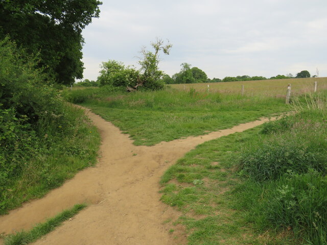
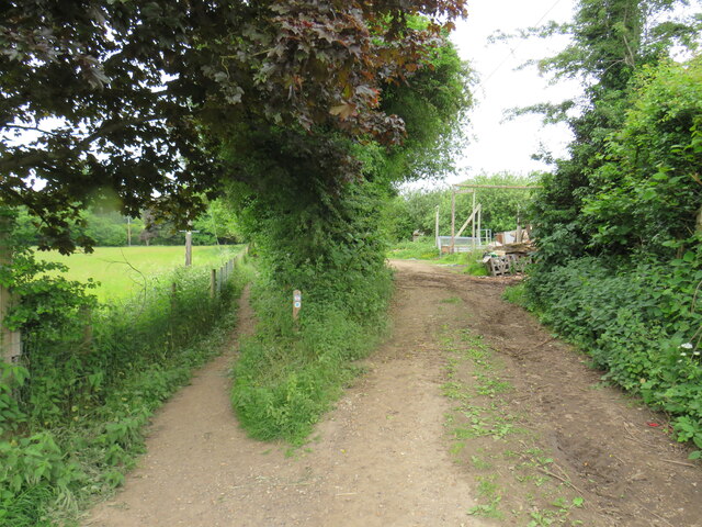
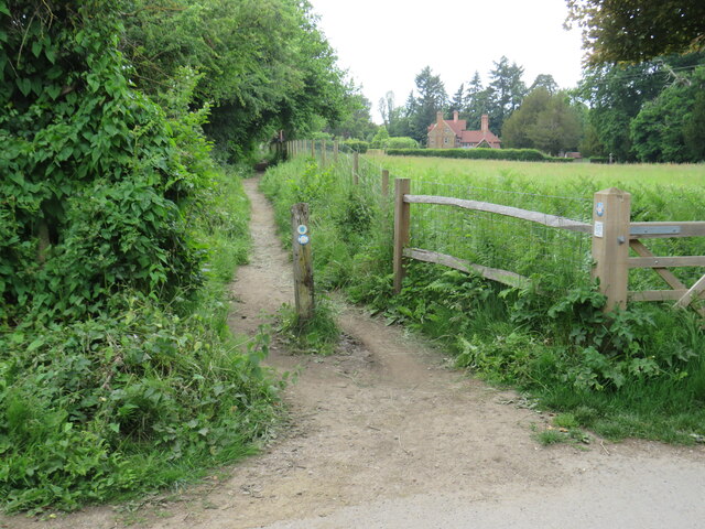
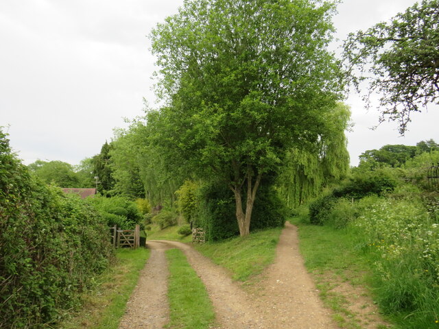
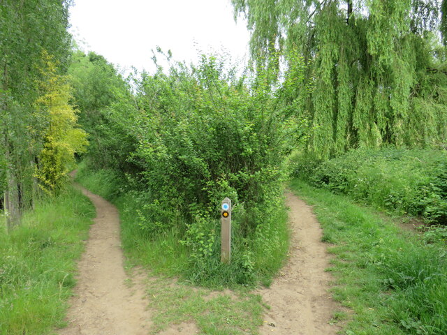
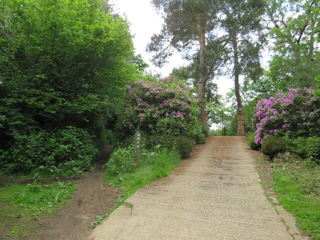
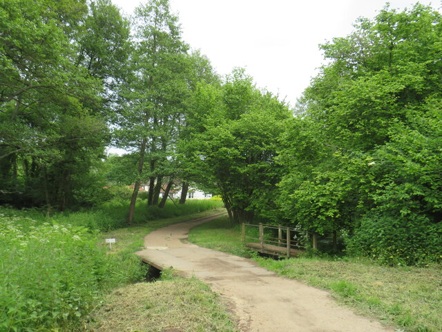
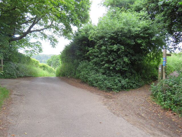
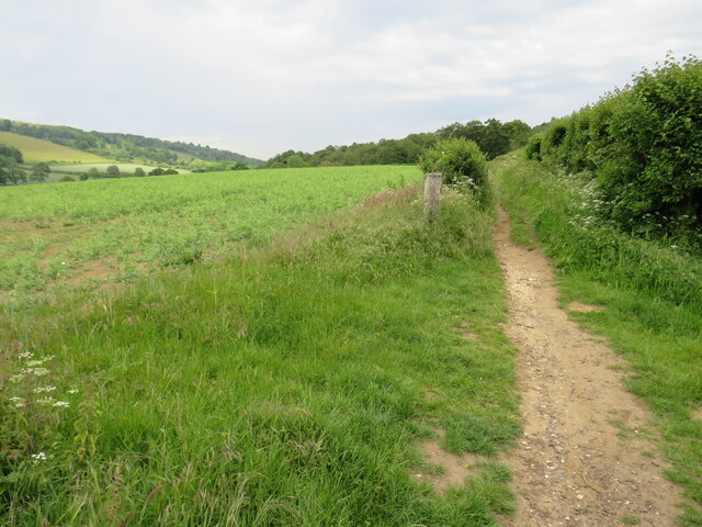
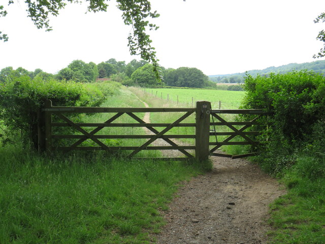
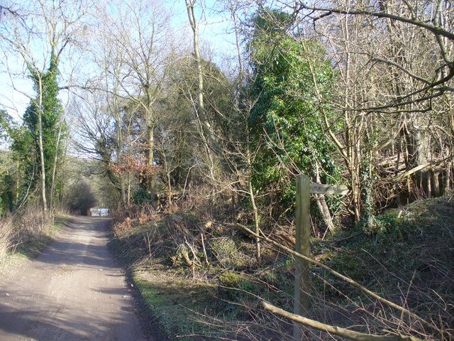
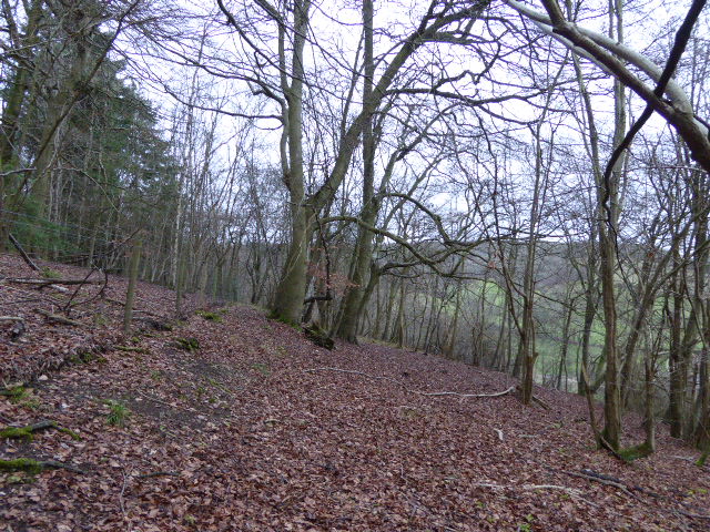
The site is characterized by its diverse landscape, which includes ancient woodland, open grasslands, and winding footpaths. It is home to a wide range of flora and fauna, making it a haven for nature enthusiasts and wildlife lovers. Visitors can spot various species of birds, butterflies, and wildflowers as they explore the area.
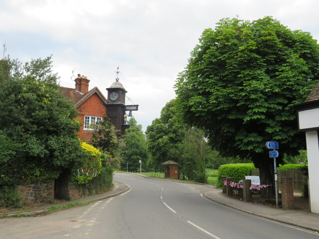
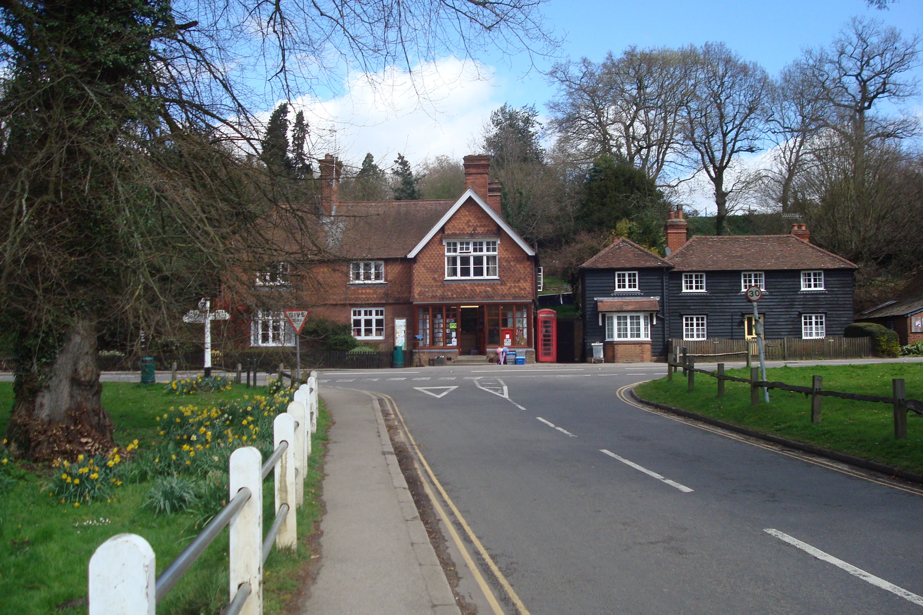
Abinger Roughs also holds historical importance, as it was once part of the estate belonging to the Evelyn family, who were prominent landowners in the region. The family's influence can still be seen in the remnants of the Victorian gardens and the architectural features of the surrounding buildings.
The site offers several walking trails, ranging from short strolls to longer hikes, allowing visitors to immerse themselves in the peaceful ambiance of the countryside. There are also designated picnic areas, making it an ideal spot for a family outing or a leisurely lunch.
Additionally, Abinger Roughs provides access to the famous North Downs Way, a long-distance footpath that stretches across the Surrey Hills Area of Outstanding Natural Beauty. This makes it a popular starting point or resting spot for hikers and walkers.
Overall, Abinger Roughs is a captivating heritage site that offers a perfect blend of natural beauty, historical significance, and recreational opportunities. Whether visitors are seeking tranquility, nature exploration, or a glimpse into the region's history, this site has something to offer for everyone.
If you have any feedback on the listing, please let us know in the comments section below.
Abinger Roughs Images
Images are sourced within 2km of 51.219/-0.435 or Grid Reference TQ0947. Thanks to Geograph Open Source API. All images are credited.


Abinger Roughs is located at Grid Ref: TQ0947 (Lat: 51.219, Lng: -0.435)
Administrative County: Surrey
District: Mole Valley
Police Authority: Surrey
What 3 Words
///scout.beast.stocks. Near Peaslake, Surrey
Nearby Locations
Related Wikis
Piney Copse
Piney Copse is 1.7 hectares (4.2 acres) of woodland located approximately 450 metres (1,480 ft) east of Gomshall railway station and north of the Surrey...
Abinger Hammer
Abinger Hammer is a village in the Vale of Holmesdale, located on the A25 in Surrey, England. The village is located within the Surrey Hills AONB, approximately...

Gomshall railway station
Gomshall railway station serves the village of Gomshall in Surrey, England. The station, and all trains serving it, are operated by Great Western Railway...

Gomshall
Gomshall is a village in the borough of Guildford in Surrey, England.It is on the A25, roughly halfway between Guildford and Dorking, and in Shere civil...
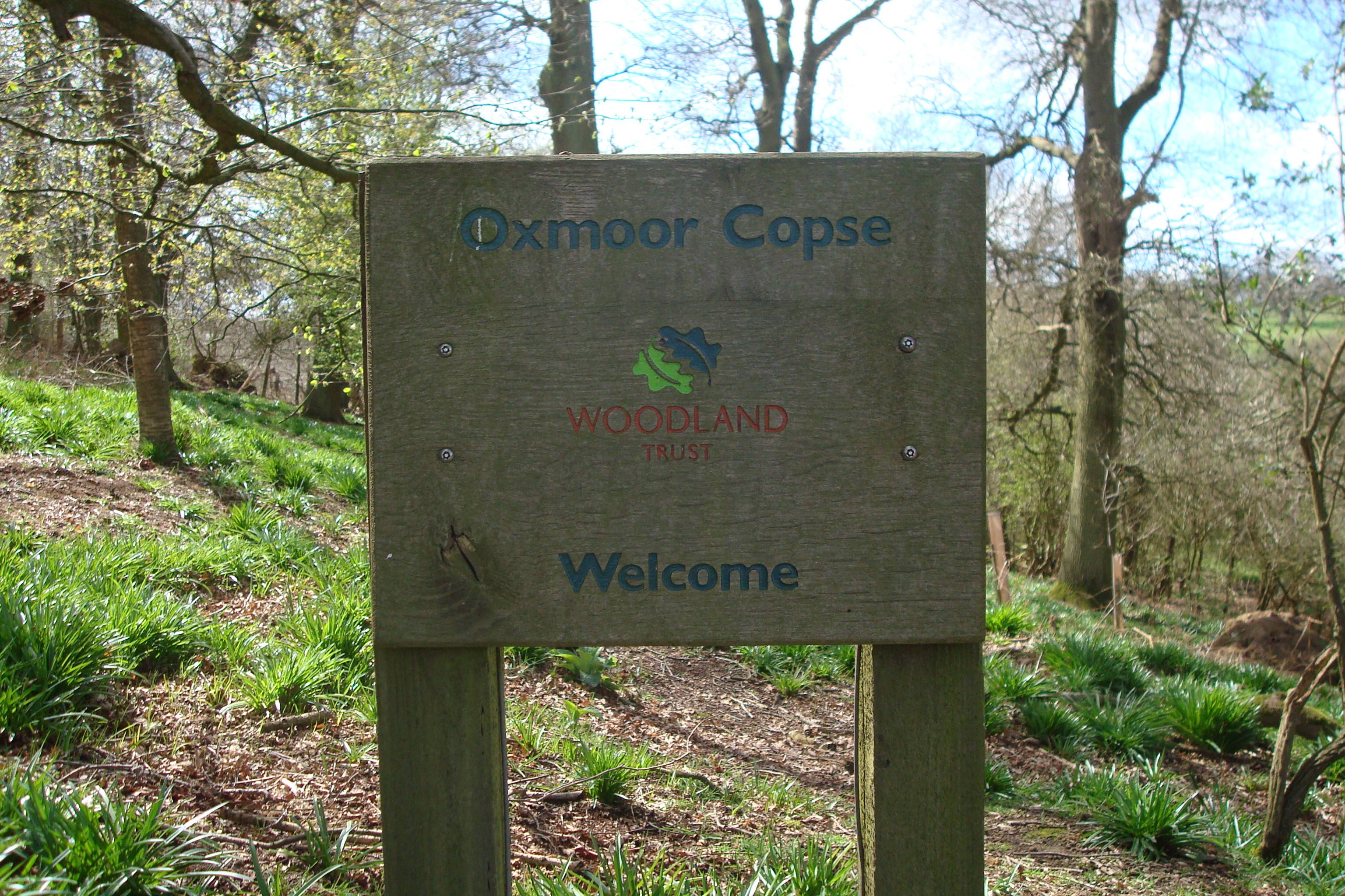
Oxmoor Copse
Oxmoor Copse is just south of the village of Abinger Hammer and to the west of the village of Abinger Common, in Surrey. It is 1.23 hectares (3.0 acres...
Colekitchen Down
Colekitchen Down is a 3-hectare (7.4-acre) nature reserve north of Gomshall in Surrey. It is managed by the Surrey Wildlife Trust.This sloping area of...

Netley Heath
Netley Heath is an area of woods and heathland in the parish of Shere close to Gomshall in Surrey, England. It is part of a larger geological stratum across...

Shere
Shere is a village in the Guildford district of Surrey, England 4.8 miles (7.7 km) east south-east of Guildford and 5.4 miles (8.7 km) west of Dorking...
Nearby Amenities
Located within 500m of 51.219,-0.435Have you been to Abinger Roughs?
Leave your review of Abinger Roughs below (or comments, questions and feedback).