Cannon Copse

Wood, Forest in Sussex Horsham

England

Cannon Copse

Gateway with a view Looking westwards from the West Sussex Literary Trail.
Gateway with a view Credit: Chris Thomas-Atkin

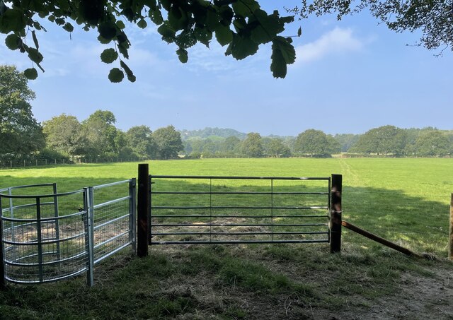
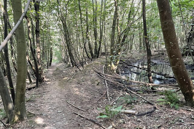
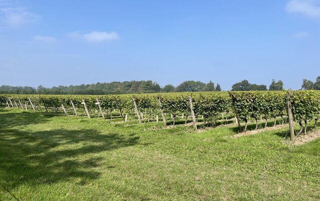
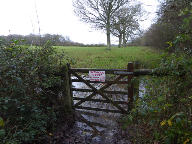
Cannon Copse is a tranquil woodland located in Sussex, England. Covering an area of approximately 20 acres, this forest is home to a variety of native tree species such as oak, beech, and birch. The forest floor is carpeted with a lush undergrowth of ferns, mosses, and wildflowers, creating a vibrant and diverse ecosystem.

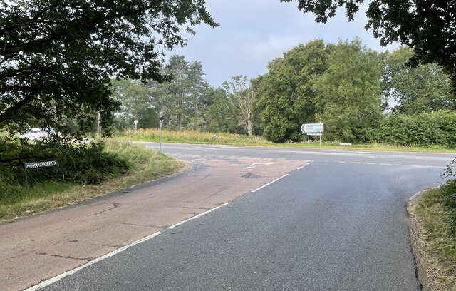
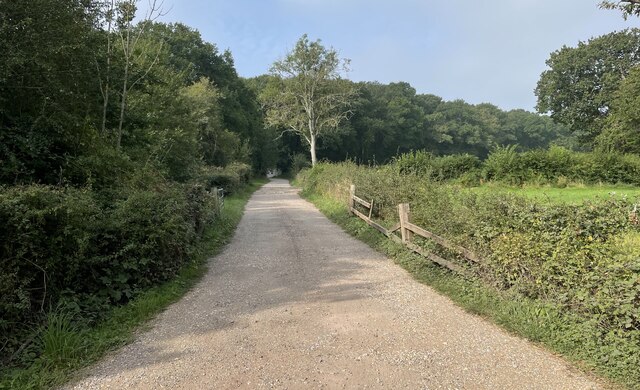
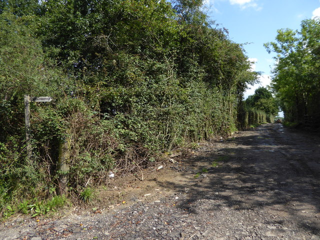
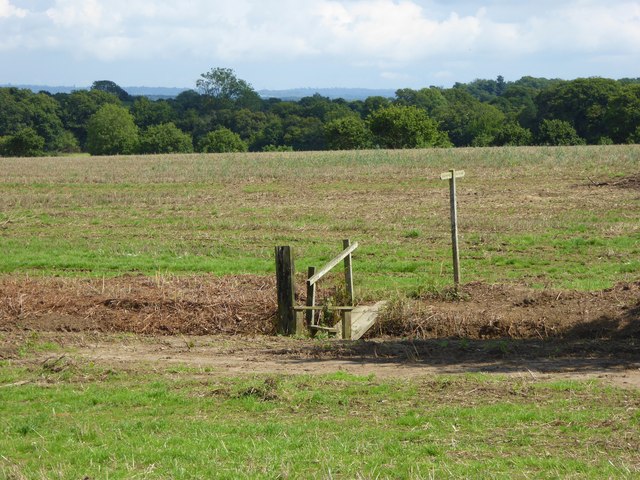
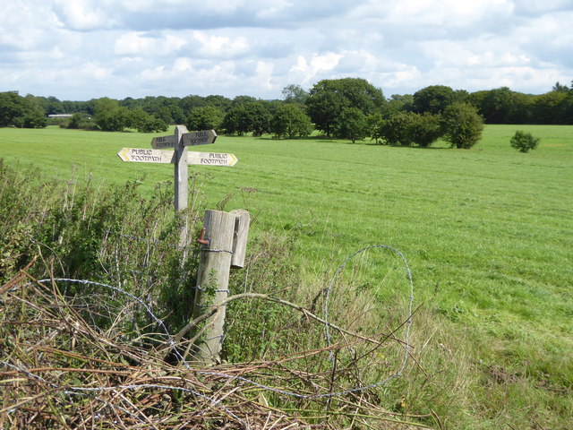
Cannon Copse is a popular destination for nature lovers and outdoor enthusiasts, offering a network of well-maintained walking trails that wind through the forest. Visitors can explore the winding paths and discover hidden glades, babbling brooks, and a variety of wildlife such as deer, squirrels, and a wide array of bird species.

The forest is also a haven for birdwatchers, with many species of birds making their home in the dense canopy of trees. The peaceful atmosphere of Cannon Copse makes it an ideal location for picnics, birdwatching, or simply enjoying a leisurely walk through nature.

Overall, Cannon Copse is a beautiful and serene woodland that offers a peaceful escape from the hustle and bustle of everyday life. Its natural beauty and diverse wildlife make it a must-visit destination for anyone looking to reconnect with nature.

If you have any feedback on the listing, please let us know in the comments section below.

Cannon Copse Images

Images are sourced within 2km of 50.976353/-0.43545656 or Grid Reference TQ0920. Thanks to Geograph Open Source API. All images are credited.

Gateway with a view Looking westwards from the West Sussex Literary Trail.
Gateway with a view
Looking westwards from the West Sussex Literary Trail.
Coolham Road The junction of Goose Green Lane with Coolham Road.
Coolham Road
The junction of Goose Green Lane with Coolham Road.
Track to Great Danhill Wood The track viewed from Harbolets Road.
Track to Great Danhill Wood
The track viewed from Harbolets Road.
West Sussex Literary Trail Passing through unnamed woodland near Woods Hill.
West Sussex Literary Trail
Passing through unnamed woodland near Woods Hill.
Nyetimber Vines Vines beside the West Sussex Literary Trail at Nyetimber Vineyard.
Nyetimber Vines
Vines beside the West Sussex Literary Trail at Nyetimber Vineyard.
Track heading east from Broadford Bridge Road This is signed as a public footpath but is not mapped as a public right of way.
Track heading east from Broadford Bridge Road
This is signed as a public footpath but is not mapped as a public right of way.
Footpath bridge over ditch by High Copse Farm
Crossing of footpaths east of Broadford Bridge Road
Footpath arrives at muddy corner of field and junction with bridleway See also <a title="https://www.geograph.org.uk/photo/4374766" href="https://www.geograph.org.uk/photo/4374766">Link</a>.
Footpath arrives at muddy corner of field and junction with bridleway
See also Link.
Bridleway enters field going north
Bridleway junction with Gay Street The bridleway is called Steepwood Lane.
Bridleway junction with Gay Street
The bridleway is called Steepwood Lane.
Field entrance on Gay Street
Barn at Hayes Farm on Gay Street
Tree at Hayes Farm
Tree at Hayes Farm
"Hillside" on Harbolets Road
House opposite footpath junction on Harbolets Road
Looking northwards past house on Harbolets Road
Harbolets Road looking north from junction with Broadford Bridge Road
Show me another place!

Cannon Copse is located at Grid Ref: TQ0920 (Lat: 50.976353, Lng: -0.43545656)

Administrative County: West Sussex

District: Horsham

Police Authority: Sussex

What 3 Words

///chief.disposing.culminate. Near Billingshurst, West Sussex
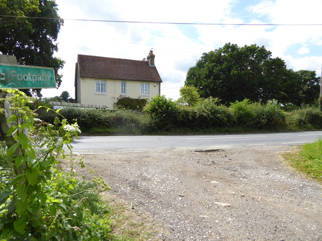
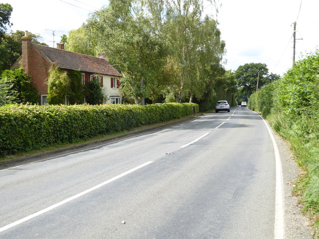
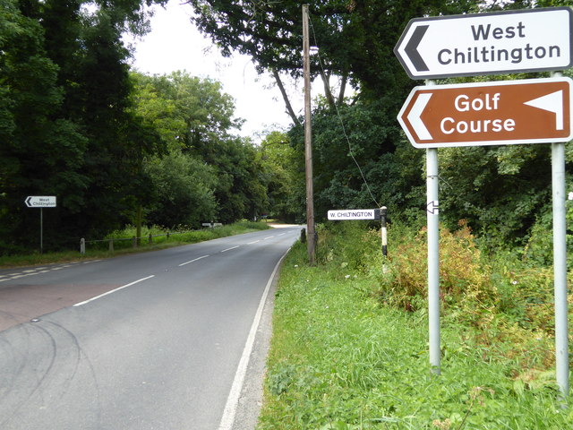
Nearby Locations

Cannon Copse

Related Wikis

Gay Street, West Sussex

Gay Street is a hamlet in the Horsham District of West Sussex, England. It lies on the North Heath to West Chiltington road 1.9 miles (3.1 km) northeast...

West Chiltington

West Chiltington is a village and civil parish in the Horsham district of West Sussex, England. It lies on the Storrington to Broadford Bridge road, 2...

Geoffrey Woolley

Geoffrey Harold Woolley, (14 May 1892 – 10 December 1968) was a British Army infantry officer, Church of England priest, and Second World War military...

Henry Bowreman Foote

Major General Henry Robert Bowreman Foote, (5 December 1904 – 11 November 1993) was a British Army officer and a recipient of the Victoria Cross, the...

Nearby Amenities

Located within 500m of 50.976353,-0.43545656
Note: I'm not sure exactly where this changes from Adversane Lane to Harbolets Road
Lat/Long: 50.9743467/-0.4314276
Terra Amata Farm
Place: farm
Lat/Long: 50.978796/-0.4412903
Harbolets
Place: isolated_dwelling
Lat/Long: 50.9756925/-0.430519
Yew Tree Farm
Place: farm
Lat/Long: 50.9738924/-0.4313831
The data included in this document is from www.openstreetmap.org. The data is made available under ODbL.

Have you been to Cannon Copse?

Leave your review of Cannon Copse below (or comments, questions and feedback).